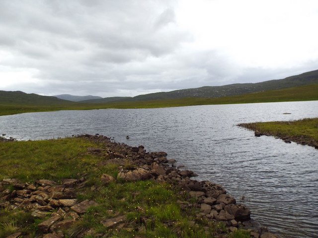
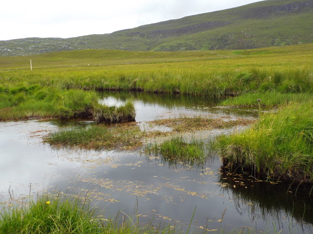
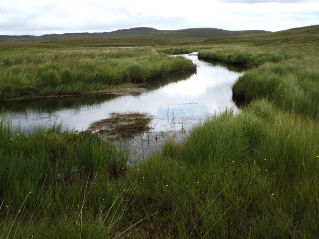
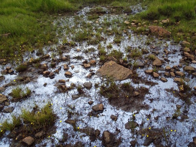
Loch Airigh na Beinne
Lake, Pool, Pond, Freshwater Marsh in Sutherland
Scotland
Loch Airigh na Beinne
The requested URL returned error: 429 Too Many Requests
If you have any feedback on the listing, please let us know in the comments section below.
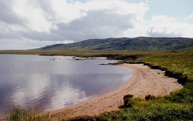
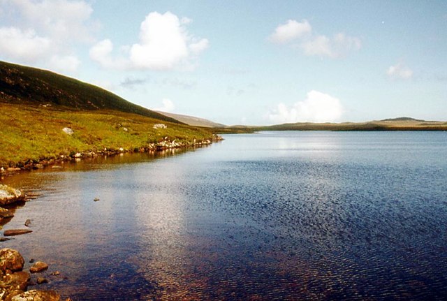
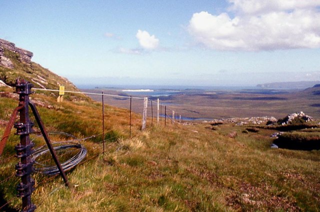
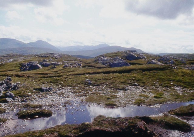
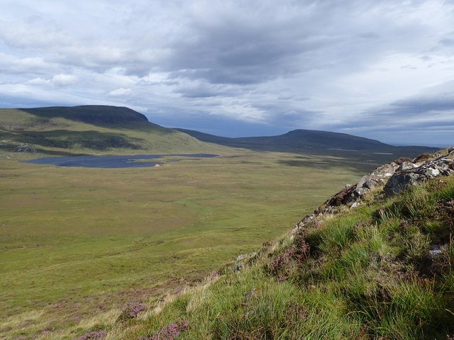
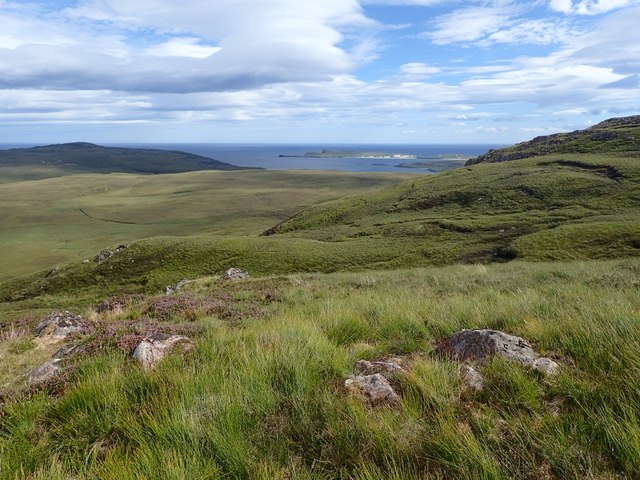
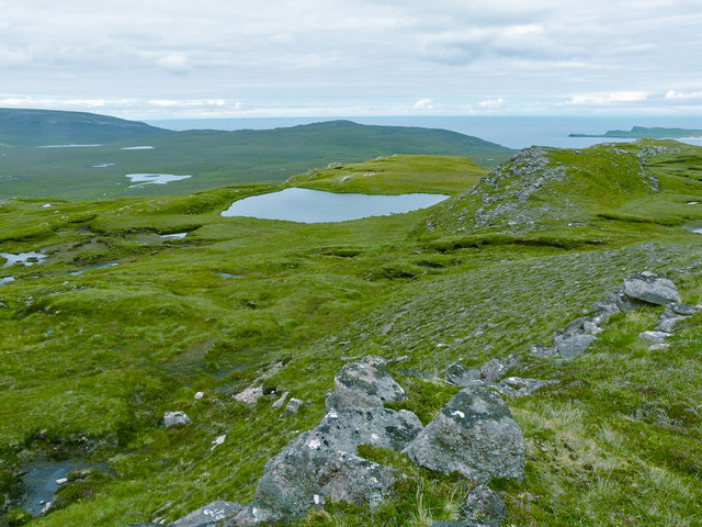
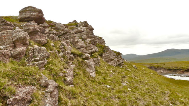
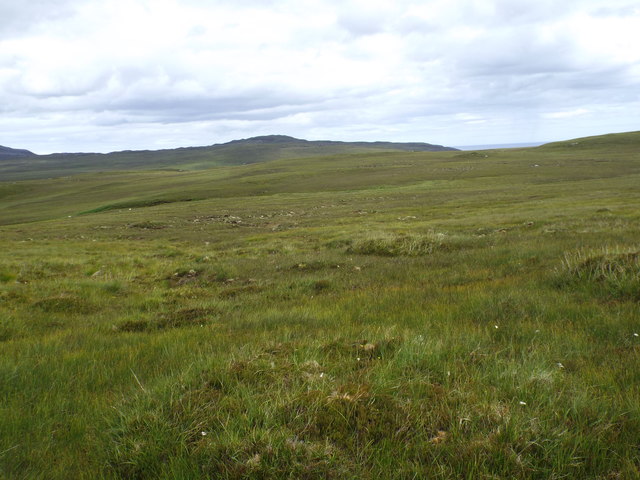
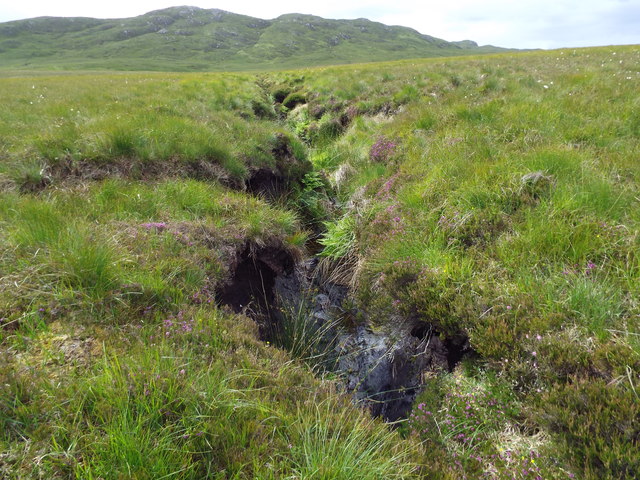
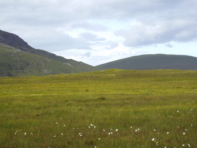
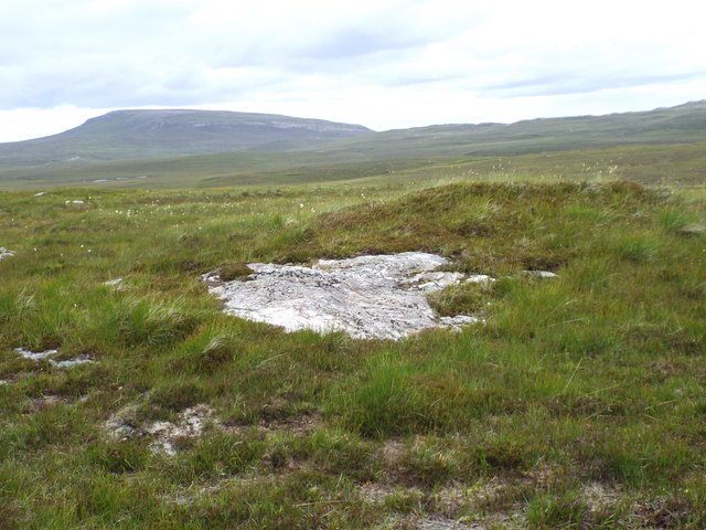
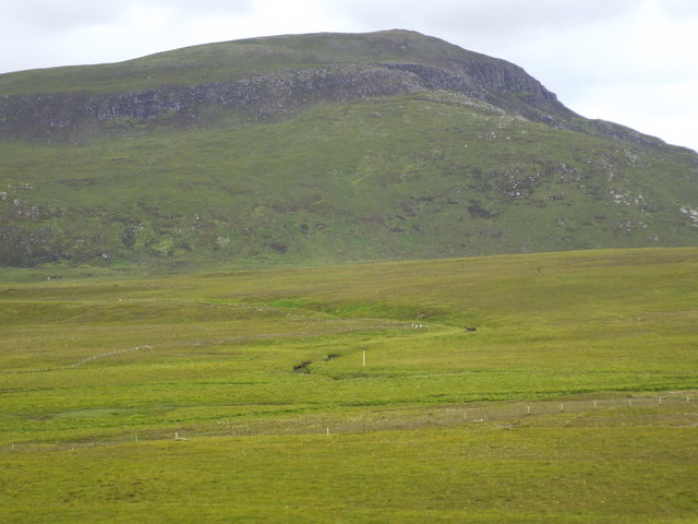
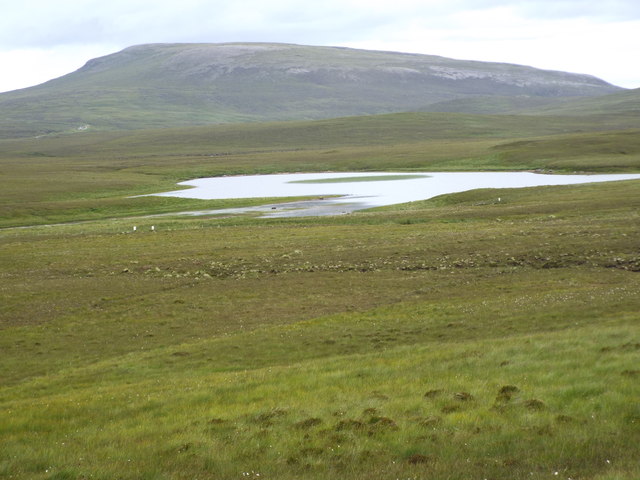
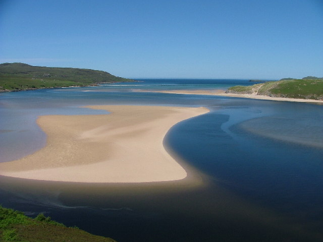
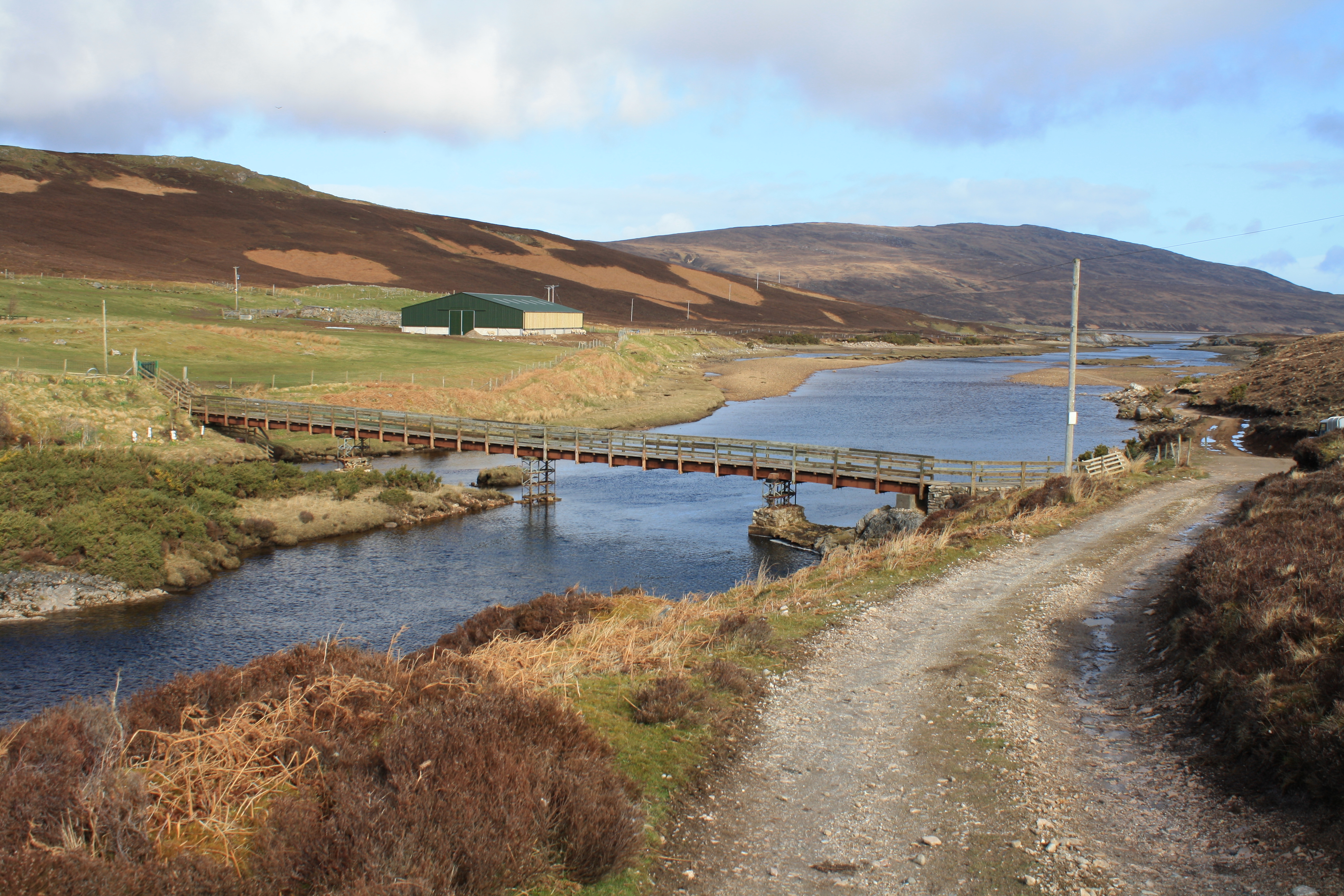
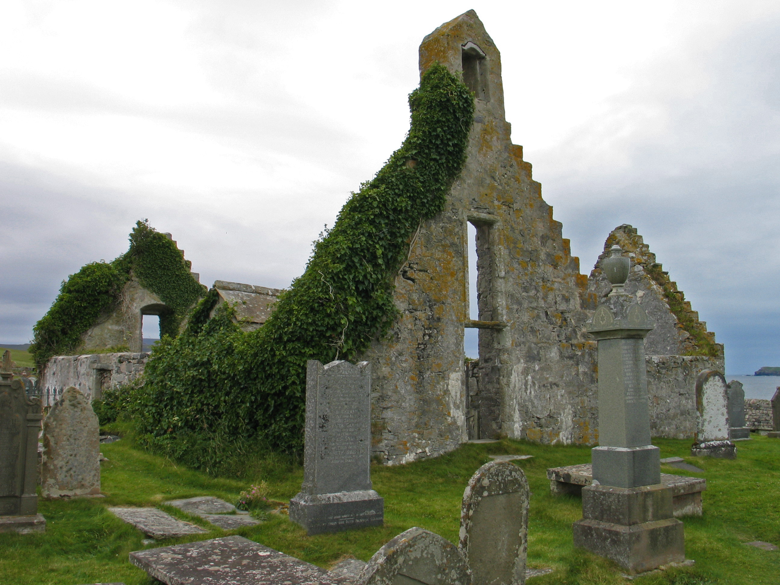
Loch Airigh na Beinne Images
Images are sourced within 2km of 58.552828/-4.8793441 or Grid Reference NC3266. Thanks to Geograph Open Source API. All images are credited.
Loch Airigh na Beinne is located at Grid Ref: NC3266 (Lat: 58.552828, Lng: -4.8793441)
Unitary Authority: Highland
Police Authority: Highlands and Islands
What 3 Words
///rotations.ruling.giants. Near Oldshoremore, Highland
Nearby Locations
Related Wikis

Achiemore, Durness
Achiemore was a crofting community located on the Cape Wrath peninsula near the village of Durness in the Scottish county of Sutherland. The hamlet is...
Kyle of Durness
Kyle of Durness is a coastal inlet on the north coast of Scotland in the county of Sutherland. It extends 5+1⁄2 miles (9 kilometres) inland from Balnakeil...
River Dionard
The River Dionard is a river in the historic county of Sutherland in northwest Scotland. It arises as the outflow from Loch Dionard which lies below the...
Balnakeil
Balnakeil is a hamlet in the parish of Durness, Sutherland, Scottish Highlands, and is in the Scottish council area of Highland. It is on the north coast...
Have you been to Loch Airigh na Beinne?
Leave your review of Loch Airigh na Beinne below (or comments, questions and feedback).