Barfad Loch

Lake, Pool, Pond, Freshwater Marsh in Wigtownshire

Scotland

Barfad Loch

The River Bladnoch Looking upstream from the bridge above Shennanton House
The River Bladnoch Credit: Oliver Dixon

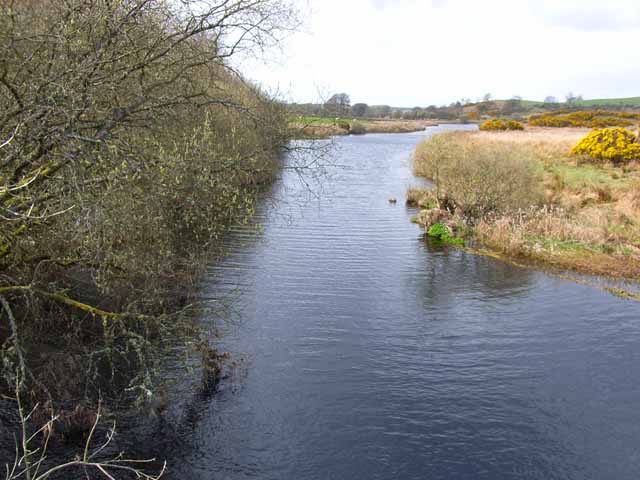
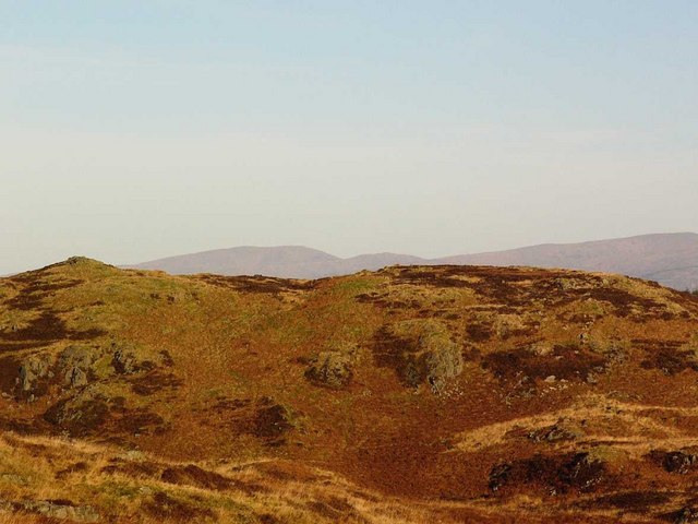
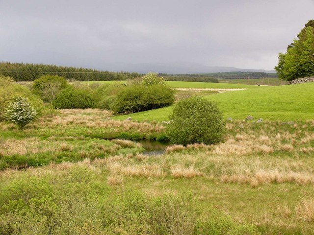
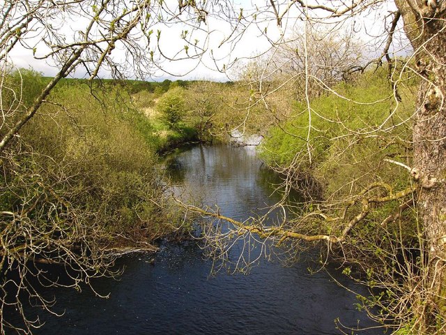
Barfad Loch is a picturesque freshwater body located in Wigtownshire, a region in southwestern Scotland. Covering an area of approximately 10 acres, it is classified as a lake or loch due to its size and depth. The loch is nestled amidst lush greenery, surrounded by rolling hills and offering stunning panoramic views of the Scottish countryside.

Barfad Loch is renowned for its crystal-clear waters, which are fed by several small streams and springs from the surrounding hills. The water is remarkably clean and supports a diverse ecosystem of aquatic plants and animals. The loch is home to various species of fish, including brown trout and pike, making it a popular spot for fishing enthusiasts.

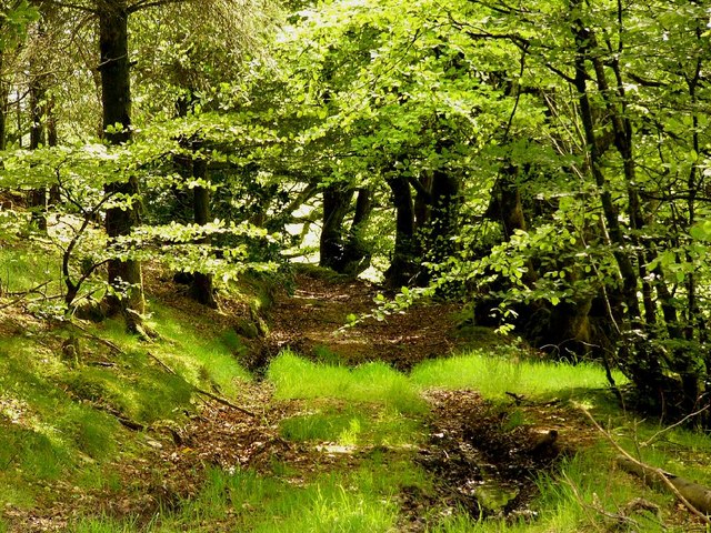
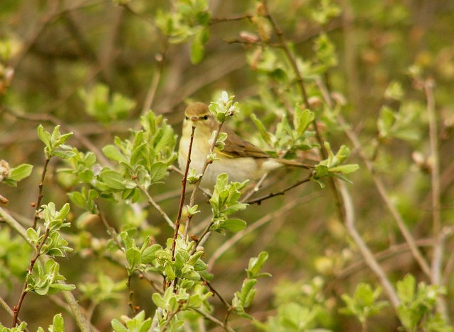
The surrounding area of Barfad Loch features a diverse range of flora and fauna. The shores are fringed with reeds and marsh vegetation, creating a freshwater marsh habitat that supports a variety of bird species. Birdwatchers can spot common species such as swans, ducks, and herons, as well as more elusive waterfowl like teal and grebes.

The tranquil ambiance of Barfad Loch makes it an ideal destination for nature lovers and those seeking a peaceful retreat. Visitors can enjoy activities such as fishing, birdwatching, or simply taking leisurely walks along the shores. The scenic beauty and serene atmosphere of Barfad Loch make it a hidden gem in the heart of Wigtownshire.

If you have any feedback on the listing, please let us know in the comments section below.
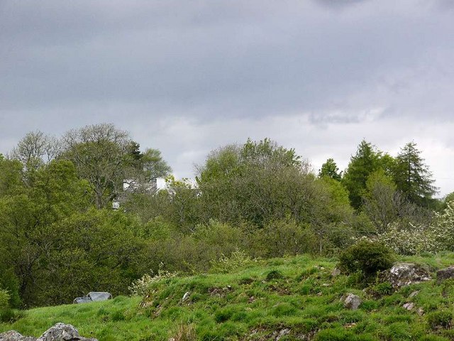
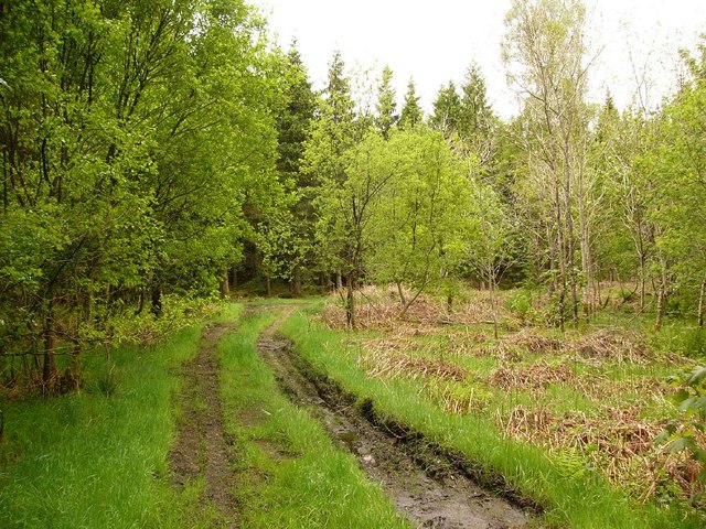
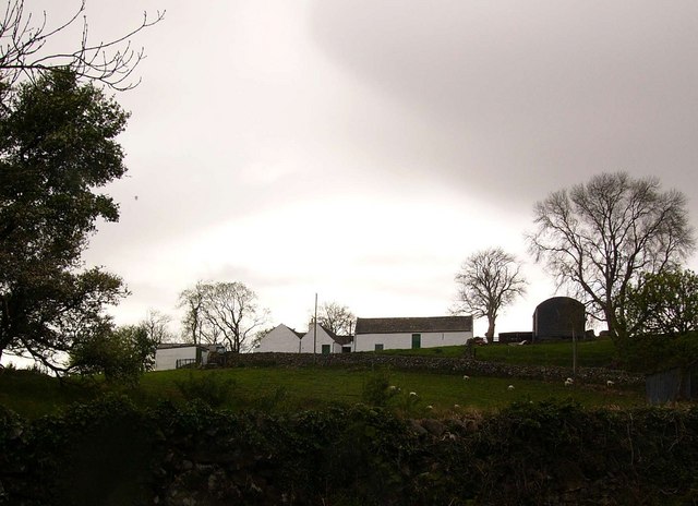
Barfad Loch Images

Images are sourced within 2km of 54.962361/-4.6188839 or Grid Reference NX3266. Thanks to Geograph Open Source API. All images are credited.

The River Bladnoch Looking upstream from the bridge above Shennanton House
The River Bladnoch
Looking upstream from the bridge above Shennanton House
Culvennan Fell Looking NNE to Culvennan Fell with the Galloway Hills in the far distance.
Culvennan Fell
Looking NNE to Culvennan Fell with the Galloway Hills in the far distance.
Gravel pit near Shennanton
Rough grazing near Carsebuie Looking over to the Minnigaff Hills.
Rough grazing near Carsebuie
Looking over to the Minnigaff Hills.
Carsebuie
Carsebuie
Forest track near Carsebuie
Barfad Farm
Barfad Farm
The Black Burn
The Black Burn
The Black Burn Taken from the aptly named Black Burn Bridge.
The Black Burn
Taken from the aptly named Black Burn Bridge.
Meadow Hill plantation
A warbler of some kind? A lucky snap of a bird which sat in a bush right beside me!
A warbler of some kind?
A lucky snap of a bird which sat in a bush right beside me!
Ring of Barfad The name Ring is from the Gaelic roinn or rinn, meaning a point of land. It probably refers to the position of this farm at the meeting of two rivers, the Bladnoch and its tributary, the Black Burn.
Ring of Barfad
The name Ring is from the Gaelic roinn or rinn, meaning a point of land. It probably refers to the position of this farm at the meeting of two rivers, the Bladnoch and its tributary, the Black Burn.
Round bales The introduction of silage and round bales for winter feed has massively reduced the incidence of farmers lung, a disabling respiratory condition caused by allergy to the spores of moulds found in traditional hay bales, especially when the hay crop was baled while wet.
Round bales
The introduction of silage and round bales for winter feed has massively reduced the incidence of farmers lung, a disabling respiratory condition caused by allergy to the spores of moulds found in traditional hay bales, especially when the hay crop was baled while wet.
Round bale wrapping
Round bale wrapping
Road to the Ring The road to the Ring of Barfad runs through woodland.
Road to the Ring
The road to the Ring of Barfad runs through woodland.
Monk's-hood Aconitum napellus. Growing by the roadside, and probably an escapee rather than native plant. One of the most poisonous British plants.
Monk's-hood
Aconitum napellus. Growing by the roadside, and probably an escapee rather than native plant. One of the most poisonous British plants.
Moss fruiting bodies
Small ruined building at Old House Hill The 1850 OS map shows a group of buildings called Carseriggan (in ruins) at the south end of Old House Hill. This is about a kilometre east of the present day  farm of  Carseriggan and is presumably the original site.
Small ruined building at Old House Hill
The 1850 OS map shows a group of buildings called Carseriggan (in ruins) at the south end of Old House Hill. This is about a kilometre east of the present day farm of Carseriggan and is presumably the original site.
Show me another place!

Barfad Loch is located at Grid Ref: NX3266 (Lat: 54.962361, Lng: -4.6188839)

Unitary Authority: Dumfries and Galloway

Police Authority: Dumfries and Galloway

What 3 Words

///loss.destined.unspoiled. Near Newton Stewart, Dumfries & Galloway

Related Wikis

Kirkcowan railway station

Kirkcowan railway station served the village of Kirkcowan, Dumfries and Galloway, Scotland from 1861 to 1965 on the Portpatrick and Wigtownshire Joint...

Kirkcowan

Kirkcowan is an area about 15 miles in length, and from nearly two to nearly seven miles in breadth, comprising 30,580 acres, of which 7000 are arable...

Tarf Water, Wigtownshire

The Tarf Water is a river in the former county of Wigtownshire in south-west Scotland. It rises on the Ayrshire border (55.0048°N 4.7815°W / 55.0048;...

Wood of Cree

Wood of Cree is a nature reserve in Dumfries and Galloway, Scotland. Located approximately 4 miles (6.4 km) north north-west of Newton Stewart, it is managed...

Have you been to Barfad Loch?

Leave your review of Barfad Loch below (or comments, questions and feedback).