Aylesby

Settlement in Lincolnshire

England

Aylesby

Riby Crossroads: aerial 2022
Riby Crossroads: aerial 2022 Credit: Chris

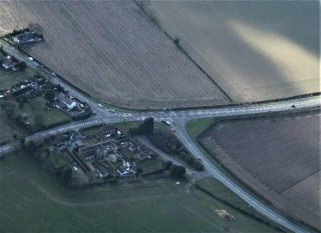
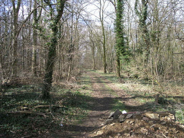
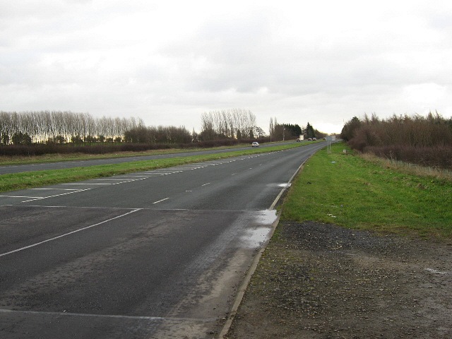
Aylesby is a small village located in the county of Lincolnshire, in the eastern part of England. Situated approximately 5 miles north-east of Grimsby, it falls within the administrative district of North East Lincolnshire. The village is nestled amidst picturesque countryside, with its rolling fields and charming rural landscapes.

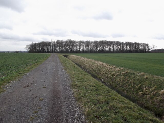
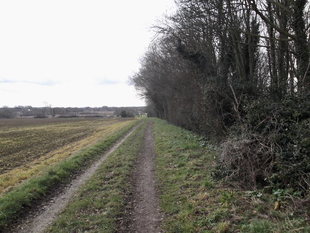
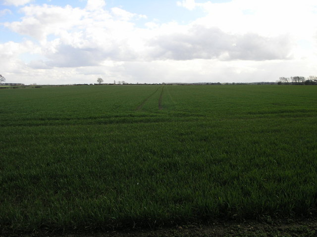
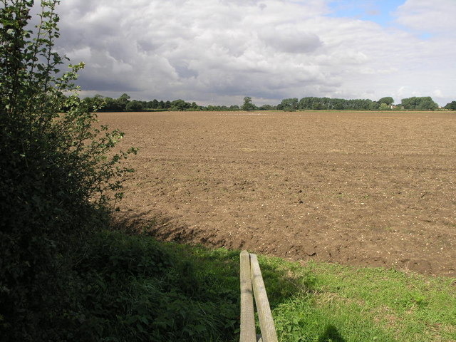
Historically, Aylesby has strong agricultural roots, and this legacy is still evident today. The village is surrounded by farmland, where crops such as wheat, barley, and rapeseed are cultivated. The agricultural heritage is also reflected in the traditional architecture of the village, with many of the buildings constructed using local stone and boasting quaint thatched roofs.

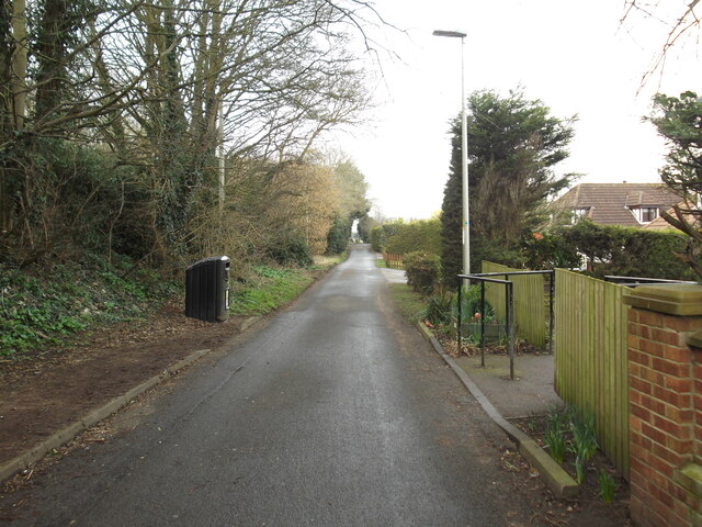
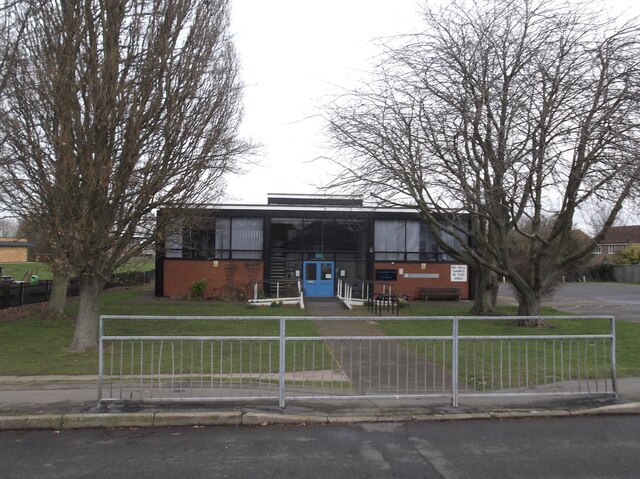
Despite its small size, Aylesby offers a close-knit and friendly community. The village is home to a tight-knit population, with residents enjoying a peaceful and tranquil lifestyle. The community spirit is evident in the various local events and gatherings organized throughout the year, including summer fetes and Christmas markets.

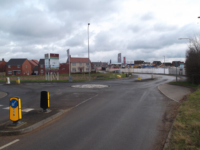
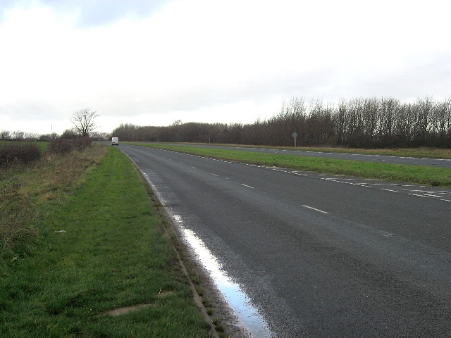
While Aylesby may be a quiet village, it benefits from its proximity to larger towns and cities. The nearby town of Grimsby provides access to a range of amenities, including shopping centers, entertainment venues, and educational facilities. Additionally, the village is well-connected to the wider region through a network of roads, making it easily accessible to visitors and commuters alike.

Overall, Aylesby presents an idyllic retreat for those seeking a slower pace of life, surrounded by natural beauty and a welcoming community.

If you have any feedback on the listing, please let us know in the comments section below.
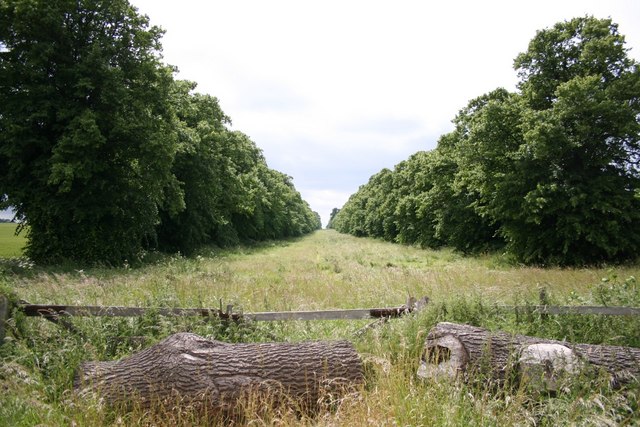
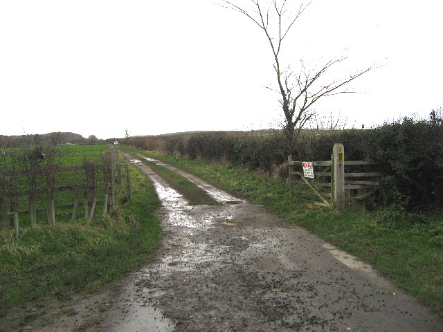
Aylesby Images

Images are sourced within 2km of 53.551674/-0.186133 or Grid Reference TA2007. Thanks to Geograph Open Source API. All images are credited.

Riby Crossroads: aerial 2022
Footbridge and path near Healing
A small wood by the Aylesby path
Aylesby Lane
Aylesby Lane
Cooper Lane, Laceby
Cooper Lane, Laceby
Stanford Centre and Library
New builds in Laceby
St.Edmund's church, Riby, Lincs. A small village with a grand cruciform church, with at least Norman origins and possibly Anglo-Saxon ! The crossing arches and south arcade are c1300
St.Edmund's church, Riby, Lincs.
A small village with a grand cruciform church, with at least Norman origins and possibly Anglo-Saxon ! The crossing arches and south arcade are c1300
Farm Track and Pylons The next square south starts just beyond the tree by the track.
Farm Track and Pylons
The next square south starts just beyond the tree by the track.
Woodland Track This small area of woodland is split in half by this and the next grid square north.
Woodland Track
This small area of woodland is split in half by this and the next grid square north.
Field and Sky This is one of those squares that is circa 98% field.
Field and Sky
This is one of those squares that is circa 98% field.
Avenue to Riby From the A18 towards Riby
Avenue to Riby
From the A18 towards Riby
Path to the A18 This path crosses this field from Aylesby to the A18.  The 1940s OS map shows the path continuing on to Riby.
Path to the A18
This path crosses this field from Aylesby to the A18. The 1940s OS map shows the path continuing on to Riby.
It's Not Difficult To Swallow A Public Bridleway from the A18 near Aylesby to the A46 approaching Swallow.
It's Not Difficult To Swallow
A Public Bridleway from the A18 near Aylesby to the A46 approaching Swallow.
The A18 Near Aylesby.
The A18
Near Aylesby.
Approaching Laceby Junction On the A18.
Approaching Laceby Junction
On the A18.
Aylesby farmland View from the corner of Beech Holt Lane and Nooking Lane
Aylesby farmland
View from the corner of Beech Holt Lane and Nooking Lane
Sheepwash Drain Drain from the corner of Beech Holt Lane and Nooking Lane towards the sheepwash near Aylesby
Sheepwash Drain
Drain from the corner of Beech Holt Lane and Nooking Lane towards the sheepwash near Aylesby
Show me another place!

Aylesby is located at Grid Ref: TA2007 (Lat: 53.551674, Lng: -0.186133)

Division: Parts of Lindsey

Unitary Authority: North East Lincolnshire

Police Authority: Humberside

What 3 Words

///expecting.hangs.indoors. Near Laceby, Lincolnshire

Nearby Locations

Aylesby Park Aylesby

Related Wikis

Aylesby

Aylesby is a village and civil parish in North East Lincolnshire, England. It is situated near the A18 road, approximately 4 miles (6 km) west from Cleethorpes...

Borough of Cleethorpes

Cleethorpes was a local government district in Humberside, England from 1974 to 1996. It was granted borough status in 1975. It was formed on 1 April...

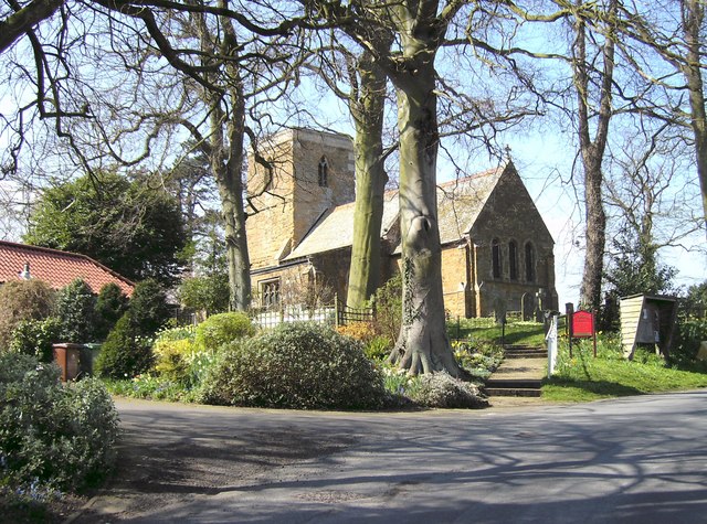
Church of St Margaret, Laceby

The Church of St Margaret is the Anglican Grade I listed parish church for the village of Laceby in Lincolnshire. Listed since 1967 and dedicated to St...

Laceby

Laceby is a village and civil parish in North East Lincolnshire, England. It is situated on the A46 road, just outside the western boundary of Grimsby...

Riby

Riby is a village and civil parish in the West Lindsey district of Lincolnshire, England. The population of the civil parish was 129 at the 2011 census...

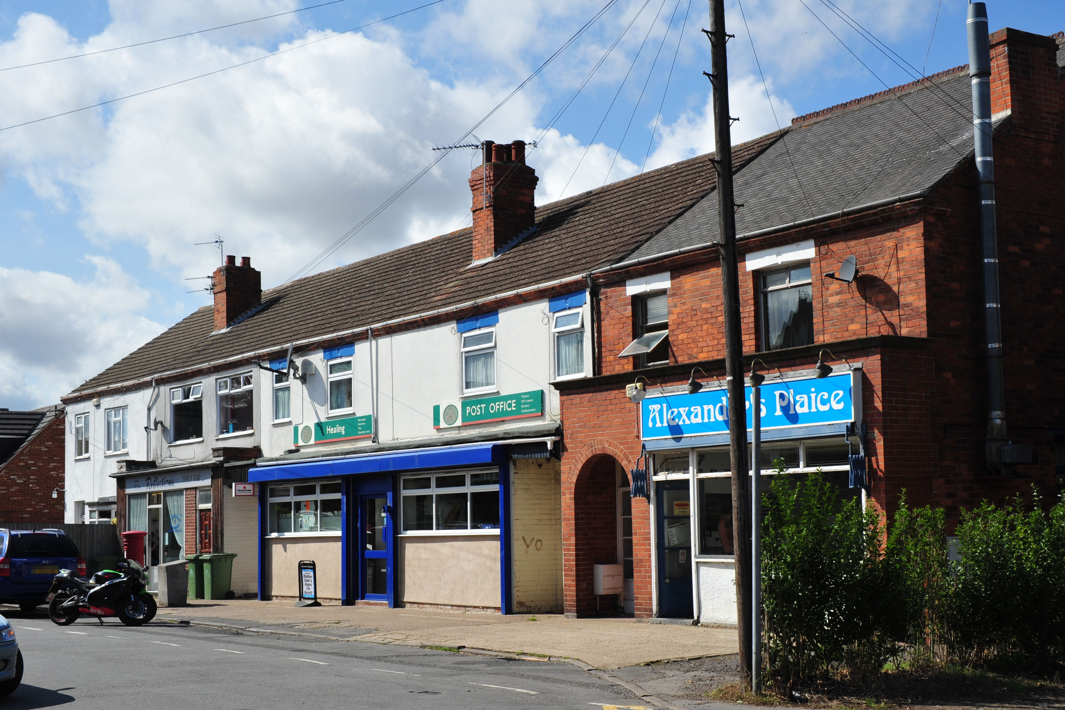
Healing, Lincolnshire

Healing is a village and civil parish in North East Lincolnshire, England. It is situated between Stallingborough and Great Coates, and 3 miles (5 km)...

Irby upon Humber

Irby upon Humber or Irby-on-Humber is a small village and (as just Irby) a civil parish in North East Lincolnshire, England. The village is situated on...

Healing School

Healing School, A Science Academy is a co-educational secondary school and specialist academy located on Low Road in the village of Healing, North East...

Nearby Amenities

Located within 500m of 53.551674,-0.186133
Aylesby
Is In: Lincolnshire, England, UK
Is In District: North East Lincolnshire
Place: village
Source: NPE
Lat/Long: 53.5516204/-0.1831318
Bus Stop
Main Road
Naptan AtcoCode: 228000001961
Naptan Bearing: W
Naptan CommonName: Main Road
Naptan Indicator: W-bound
Naptan Landmark: Home Farm
Naptan NaptanCode: gritwap
Naptan Notes: none
Naptan PlusbusZoneRef: GRMSBYT
Naptan Street: Main Road
Naptan Verified: no
Source: naptan_import
Lat/Long: 53.5510343/-0.1816658
Bus Stop
Main Road
Naptan AtcoCode: 228000001962
Naptan Bearing: E
Naptan CommonName: Main Road
Naptan Indicator: E-bound
Naptan Landmark: Home Farm
Naptan NaptanCode: griwdap
Naptan Notes: none
Naptan PlusbusZoneRef: GRMSBYT
Naptan Street: Main Road
Naptan Verified: no
Source: naptan_import
Lat/Long: 53.5510954/-0.1815424
Bus Stop
Butt Lane
Naptan AtcoCode: 228000652292
Naptan Bearing: E
Naptan CommonName: Butt Lane
Naptan Crossing: Butt Lane
Naptan Indicator: opp
Naptan NaptanCode: grimwgm
Naptan Notes: none
Naptan PlusbusZoneRef: GRMSBYT
Naptan Street: Main Road
Naptan Verified: no
Source: naptan_import
Lat/Long: 53.5510252/-0.1787074
Aylesby Park
Place: locality
Source: Bing
Lat/Long: 53.5495044/-0.1909514
Home Farm
Place: farm
Source: Bing
Lat/Long: 53.5515176/-0.1812537
Manor Farm
Place: farm
Source: Bing
Lat/Long: 53.5512587/-0.1876274
Post Box
Collection Times: Mo-Fr 09:00; Sa 07:00
Location: Church Lane
Operator: Royal Mail
Post Box Type: wall
Ref: DN37 29
Lat/Long: 53.5511734/-0.1863076
School
Best Futures School
Addr City: Grimsby
Addr Country: GB
Addr Housename: Manor Farm
Addr Postcode: DN37 7AW
Addr Street: Church Lane
Addr Suburb: Aylesby
Addr Unit: Manor Farm Stables
Email: office@bestfutures-school.co.uk
Fhrs Authority: North East Lincolnshire
Fhrs Id: 817132
Fhrs Local Authority Id: 50491
Min Age: 5
Nohousenumber: yes
Phone: +44 1472 278 978
Ref GB Uprn: 10075223
Ref Edubase: 142828
Website: https://www.bestfutures-school.co.uk/
Lat/Long: 53.5509973/-0.1867528
The data included in this document is from www.openstreetmap.org. The data is made available under ODbL.

Have you been to Aylesby?

Leave your review of Aylesby below (or comments, questions and feedback).