Llyn Dinam

Lake, Pool, Pond, Freshwater Marsh in Anglesey

Wales

Llyn Dinam

WWII Defences of North Wales: RAF Valley - Operations Block  (1) -
Caergeiliog Chapel Hall: temporary wartime Operations Room

During the Second World War RAF Valley operated as a fighter station for No. 9 Group defending England's industrial north-west and shipping in the Irish Sea. Operations against the enemy were planned and directed initially from this temporary Operations Room at the nearby village of Caergeiliog's chapel hall. A purpose-built Operations Block would be built later, the chapel hall having to suffice until such time as it became operational.

<a href="https://www.geograph.org.uk/photo/6944594">SH3277 : WWII Defences of North Wales: RAF Valley - Operations Block  (2)</a>
WWII Defences of North Wales: RAF Valley - Operations Block (1) Credit: Mike Searle

Llyn Dinam is a small, freshwater lake located in the picturesque island of Anglesey, off the northwest coast of Wales. This tranquil body of water is nestled amidst lush greenery and rolling hills, making it an idyllic retreat for nature lovers and outdoor enthusiasts.

Covering an area of approximately 10 acres, Llyn Dinam boasts crystal-clear waters that reflect the surrounding landscape, creating a mesmerizing sight. The lake is fed by several small streams and springs, ensuring a constant flow of fresh, clean water. Its depth varies across different areas, with the deepest point measuring around 20 feet.

Surrounded by diverse vegetation, including reeds, rushes, and water lilies, Llyn Dinam provides a vital habitat for a wide range of plant and animal species. The lake is home to a variety of fish, such as perch, roach, and bream, attracting anglers from far and wide. Additionally, numerous bird species can be spotted around the lake, including herons, ducks, and swans.

The shores of Llyn Dinam offer peaceful spots for picnics or leisurely walks, with benches and picnic tables conveniently placed for visitors to enjoy the serene surroundings. The lake is a popular destination for kayaking and canoeing, allowing visitors to explore its tranquil waters and observe the abundant wildlife up close.

Overall, Llyn Dinam is a hidden gem on the Isle of Anglesey, offering a peaceful haven for those seeking solace in nature’s beauty. Whether you are a keen angler, birdwatcher, or simply someone looking for a serene escape, this freshwater lake is sure to capture your heart.

If you have any feedback on the listing, please let us know in the comments section below.

Llyn Dinam Images

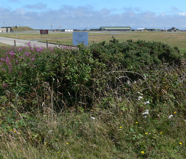
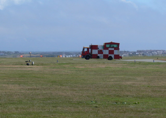
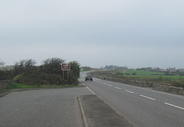
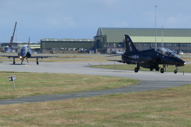
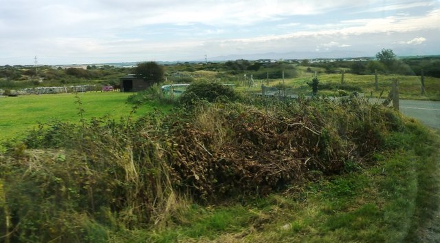
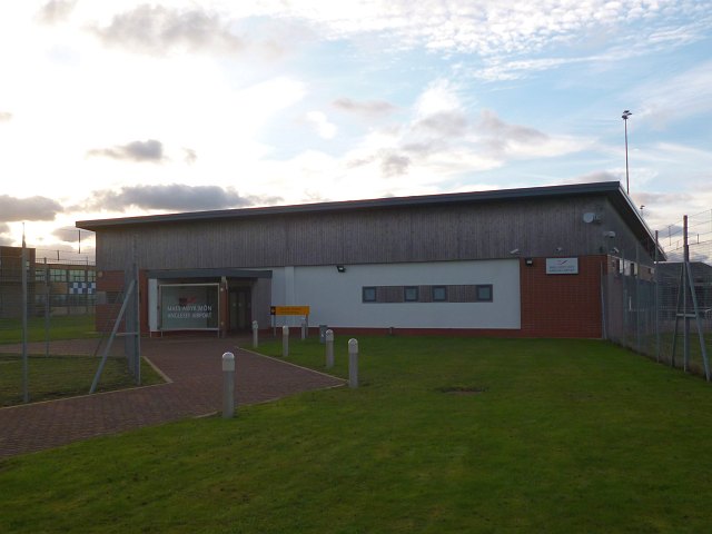
Images are sourced within 2km of 53.268568/-4.5344267 or Grid Reference SH3177. Thanks to Geograph Open Source API. All images are credited.

WWII Defences of North Wales: RAF Valley - Operations Block  (1) -
Caergeiliog Chapel Hall: temporary wartime Operations Room

During the Second World War RAF Valley operated as a fighter station for No. 9 Group defending England's industrial north-west and shipping in the Irish Sea. Operations against the enemy were planned and directed initially from this temporary Operations Room at the nearby village of Caergeiliog's chapel hall. A purpose-built Operations Block would be built later, the chapel hall having to suffice until such time as it became operational.

<a href="https://www.geograph.org.uk/photo/6944594">SH3277 : WWII Defences of North Wales: RAF Valley - Operations Block  (2)</a>
WWII Defences of North Wales: RAF Valley - Operations Block (1)
- Caergeiliog Chapel Hall: temporary wartime Operations Room During the Second World War RAF Valley operated as a fighter station for No. 9 Group defending England's industrial north-west and shipping in the Irish Sea. Operations against the enemy were planned and directed initially from this temporary Operations Room at the nearby village of Caergeiliog's chapel hall. A purpose-built Operations Block would be built later, the chapel hall having to suffice until such time as it became operational. SH3277 : WWII Defences of North Wales: RAF Valley - Operations Block (2)
WWII Defences of North Wales: RAF Valley - Operations Block  (2) -
RAF Valley wartime Sector Operations Block

This purpose-built building was RAF Valley's Sector Operations Block during the Second World War, whose role was plotting the movements of enemy aircraft, and directing our own fighter aircraft against them. Today the building has found an alternative non-military use as a depot for highway maintenance vehicles.

<a href="https://www.geograph.org.uk/photo/6944596">SH3277 : WWII Defences of North Wales: RAF Valley - Operations Block  (3)</a>
WWII Defences of North Wales: RAF Valley - Operations Block (2)
- RAF Valley wartime Sector Operations Block This purpose-built building was RAF Valley's Sector Operations Block during the Second World War, whose role was plotting the movements of enemy aircraft, and directing our own fighter aircraft against them. Today the building has found an alternative non-military use as a depot for highway maintenance vehicles. SH3277 : WWII Defences of North Wales: RAF Valley - Operations Block (3)
WWII Defences of North Wales: RAF Valley - Operations Block  (3) -
RAF Valley wartime Sector Operations Block

The actual operations room would have been contained within the raised roof-line section of the building, and was the nerve centre of operational activity.

<a href="https://www.geograph.org.uk/photo/6944590">SH3178 : WWII Defences of North Wales: RAF Valley - Operations Block  (1)</a>
WWII Defences of North Wales: RAF Valley - Operations Block (3)
- RAF Valley wartime Sector Operations Block The actual operations room would have been contained within the raised roof-line section of the building, and was the nerve centre of operational activity. SH3178 : WWII Defences of North Wales: RAF Valley - Operations Block (1)
Caergeiliog Toll House by the A5 on Anglesey The Caergeiliog Toll House stands at the junction of Holyhead Road with Cymyran Road. The 19th century Toll House is Grade II listed by Cadw: <span class="nowrap"><a title="https://cadwpublic-api.azurewebsites.net/reports/listedbuilding/FullReport?lang=&id=5266" rel="nofollow ugc noopener" href="https://cadwpublic-api.azurewebsites.net/reports/listedbuilding/FullReport?lang=&id=5266">Link</a><img style="margin-left:2px;" alt="External link" title="External link - shift click to open in new window" src="https://s1.geograph.org.uk/img/external.png" width="10" height="10"/></span>

Milestone Society National ID: ANG.LFN
Caergeiliog Toll House by the A5 on Anglesey
The Caergeiliog Toll House stands at the junction of Holyhead Road with Cymyran Road. The 19th century Toll House is Grade II listed by Cadw: LinkExternal link Milestone Society National ID: ANG.LFN
View across RAF Valley
Mobile control tower at RAF Valley
A5 looking west towards A55 roundabout at Dalar Hir From large lay By
A5 looking west towards A55 roundabout at Dalar Hir
From large lay By
British Aerospace Hawk T1W Two aircraft, XX312 and XX313, taxiing for takeoff at RAF Valley.
British Aerospace Hawk T1W
Two aircraft, XX312 and XX313, taxiing for takeoff at RAF Valley.
Ready for takeoff Two British Aerospace Hawk T1W aircraft, XX312 and XX313, taxiing for takeoff at RAF Valley.
Ready for takeoff
Two British Aerospace Hawk T1W aircraft, XX312 and XX313, taxiing for takeoff at RAF Valley.
Danger very low flying aircraft Sign at the viewing area on the northwest perimeter of RAF Valley.
Danger very low flying aircraft
Sign at the viewing area on the northwest perimeter of RAF Valley.
Landing lights on the RAF Valley perimeter
Shorts Tucano T.1 ZF145 taxiing for takeoff at RAF Valley.
Shorts Tucano T.1
ZF145 taxiing for takeoff at RAF Valley.
Red Arrows at RAF Valley
The A55 North Wales Expressway Towards junction 4.
The A55 North Wales Expressway
Towards junction 4.
Eglwys St. Mihangel's Church Eglwys St.Mihangel, the RAF Church - used as the Anglican and Scottish Free Church place of worship.
Eglwys St. Mihangel's Church
Eglwys St.Mihangel, the RAF Church - used as the Anglican and Scottish Free Church place of worship.
Road junction near Llanfairyneubwll Minor road here leads towards Anglesey Airport
Road junction near Llanfairyneubwll
Minor road here leads towards Anglesey Airport
Anglesey Airport terminal building It was opened in 2007 and is situated on land that is leased from RAF Valley.
It handles weekday flights between Anglesey and Cardiff.
Currently (November 2014) the airline is Citywing with the flights operated by Links Air.
Anglesey Airport terminal building
It was opened in 2007 and is situated on land that is leased from RAF Valley. It handles weekday flights between Anglesey and Cardiff. Currently (November 2014) the airline is Citywing with the flights operated by Links Air.
Show me another place!

Llyn Dinam is located at Grid Ref: SH3177 (Lat: 53.268568, Lng: -4.5344267)

Unitary Authority: Isle of Anglesey

Police Authority: North Wales

What 3 Words

///copy.juggles.obstruction. Near Valley, Isle of Anglesey

Nearby Locations

Llyn Dinam

Related Wikis

Caergeiliog

Caergeiliog is a village in Anglesey, in north-west Wales. It is in the community of Llanfair-yn-Neubwll and has a population of 355. The name derives...

Valley Wetlands

Valley Wetlands (Welsh: Gwlyptiroedd y Fali), formerly Valley Lakes, is a nature reserve in Anglesey, Wales belonging to the Royal Society for the Protection...

Llanfihangel yn Nhowyn

Llanfihangel yn Nhowyn () is a village in Anglesey, in north-west Wales. The church in the village, St Mihangel's, is a Grade II listed building and is...

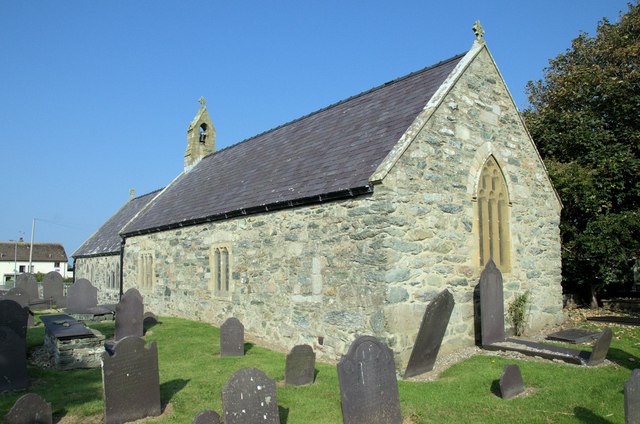
St Mihangel's Church, Llanfihangel yn Nhowyn

St Mihangel's Church in the village of Llanfihangel yn Nhowyn is a former parish church now used as the chapel for RAF Valley in Anglesey, north Wales...

Nearby Amenities

Located within 500m of 53.268568,-4.5344267
Power: tower
Lat/Long: 53.272873/-4.5343583
Power: tower
Lat/Long: 53.2722089/-4.5308661
Power: pole
Lat/Long: 53.2707673/-4.5287637
Power: pole
Lat/Long: 53.2712044/-4.5302242
Power: pole
Lat/Long: 53.2715188/-4.5313025
Power: pole
Lat/Long: 53.2718845/-4.5326395
Power: pole
Lat/Long: 53.2722839/-4.5340785
Power: pole
Lat/Long: 53.2724042/-4.5350441
Power: pole
Lat/Long: 53.2725149/-4.5361465
Power: pole
Lat/Long: 53.2726304/-4.5370263
Barrier: stile
Foot: yes
Material: wood
Stile: ladder
Vehicle: no
Lat/Long: 53.2658514/-4.5309591
The data included in this document is from www.openstreetmap.org. The data is made available under ODbL.

Have you been to Llyn Dinam?

Leave your review of Llyn Dinam below (or comments, questions and feedback).