Loch Cùl
Lake, Pool, Pond, Freshwater Marsh in Ross-shire
Scotland
Loch Cùl
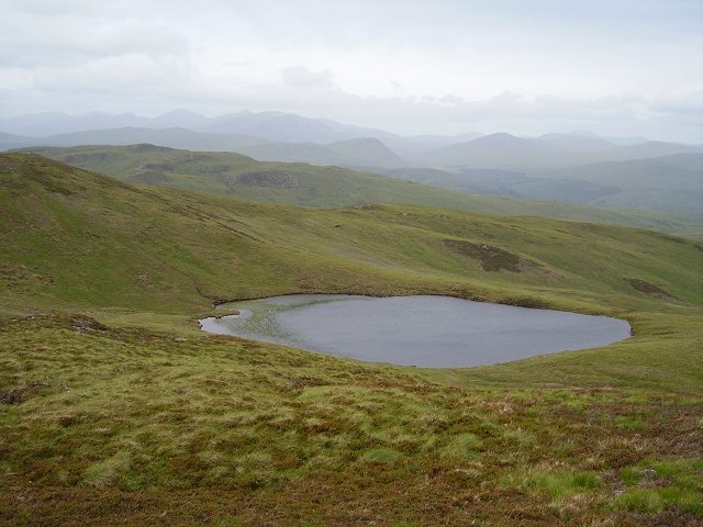
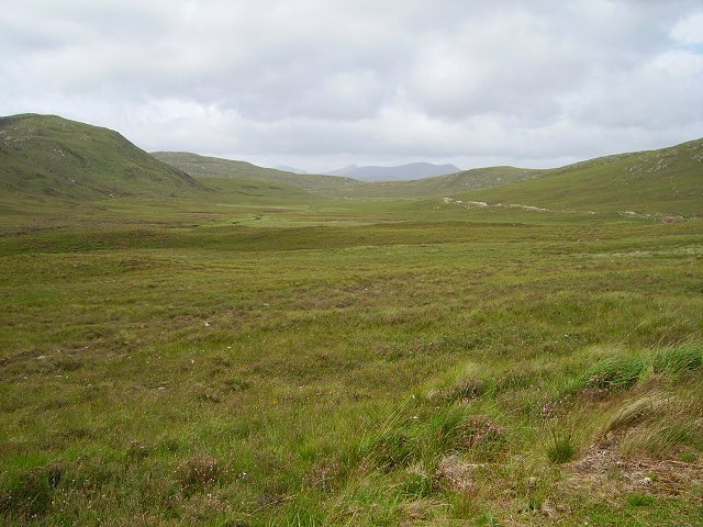
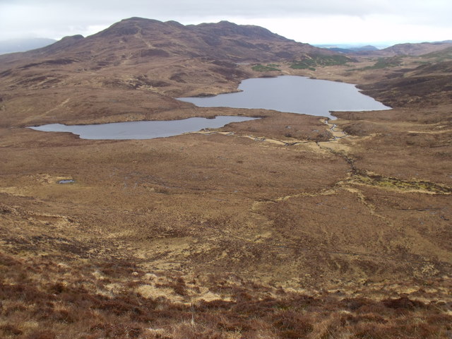
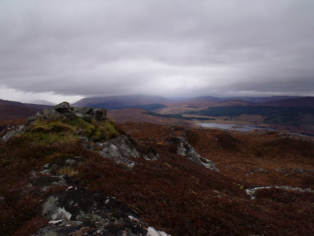
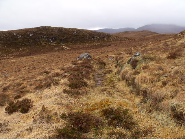
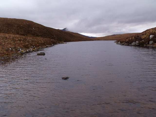
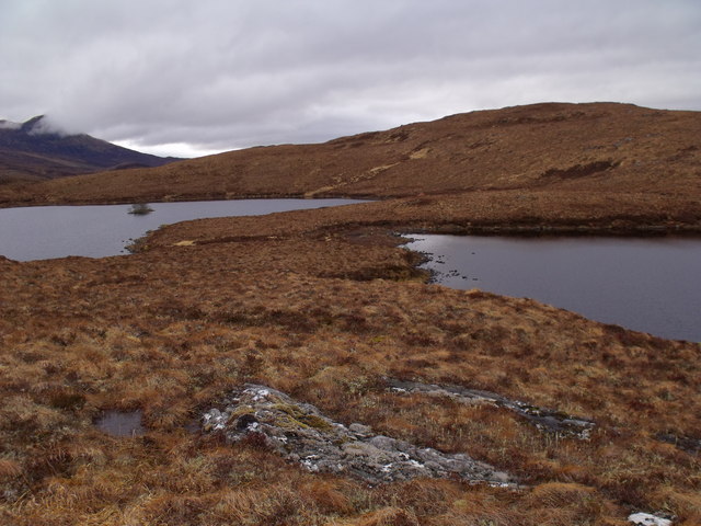
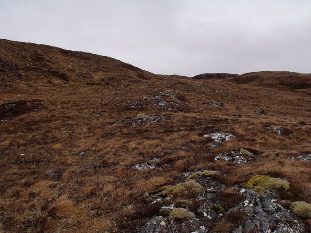
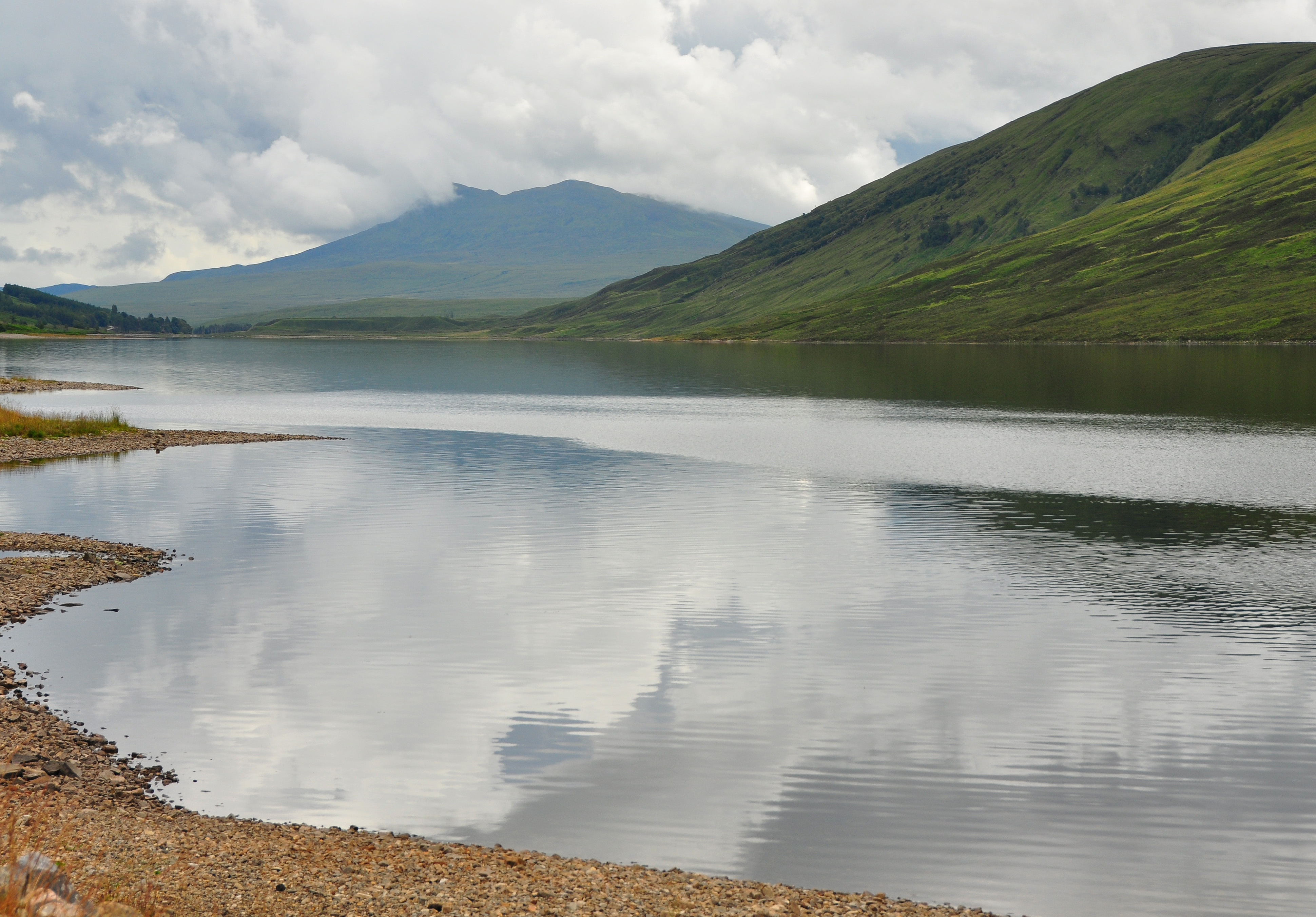
Loch Cùl is a picturesque freshwater loch located in Ross-shire, Scotland. Nestled in the stunning Scottish Highlands, it is a popular destination for nature lovers and outdoor enthusiasts alike. With its tranquil waters and surrounding natural beauty, Loch Cùl offers a serene and peaceful setting.
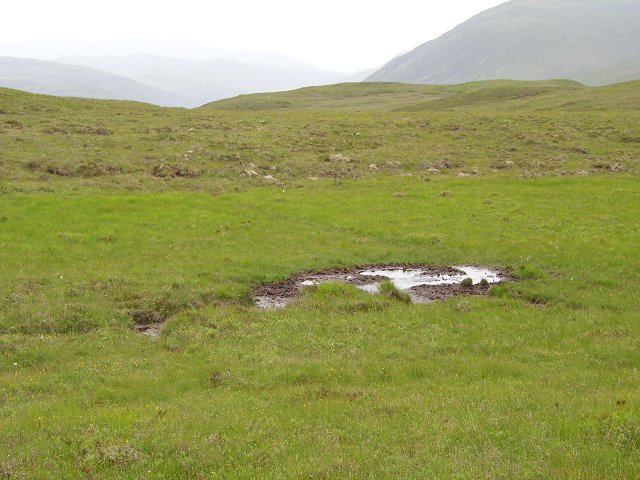
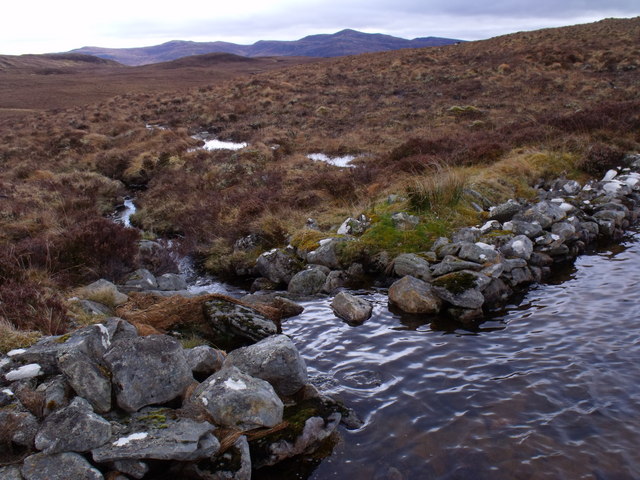
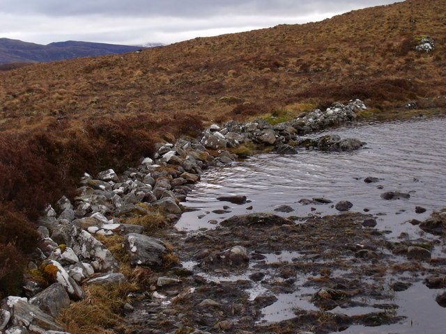
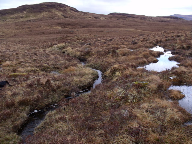
Spanning approximately 2.5 acres, Loch Cùl is relatively small in size, resembling a pool or pond. Its calm and crystal-clear waters are fed by numerous small streams that flow from the nearby hills, ensuring a constant supply of fresh water. The loch is surrounded by lush vegetation, including reeds and grasses, creating a vibrant and diverse freshwater marsh ecosystem.
The surrounding area is rich in wildlife, providing a home to a variety of species. Visitors to Loch Cùl may have the opportunity to spot a wide array of birdlife, including ducks and geese, as well as smaller birds such as wrens and warblers. The loch is also home to fish species such as trout and perch, making it a popular spot for anglers.
The tranquil atmosphere and stunning natural surroundings make Loch Cùl an ideal place for leisurely walks and picnics. Visitors can enjoy the breathtaking views of the surrounding hills and indulge in the peaceful ambiance of the loch. Additionally, the loch is a perfect spot for photographers, who can capture the beauty of the landscape and the wildlife it supports.
In conclusion, Loch Cùl is a small yet captivating freshwater loch located in Ross-shire, Scotland. With its serene waters, diverse wildlife, and surrounding natural beauty, it offers visitors a peaceful and enchanting experience in the heart of the Scottish Highlands.
If you have any feedback on the listing, please let us know in the comments section below.
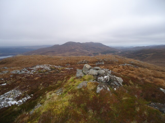
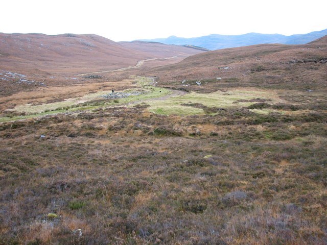
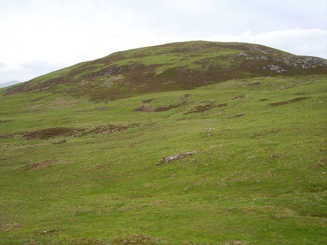
Loch Cùl Images
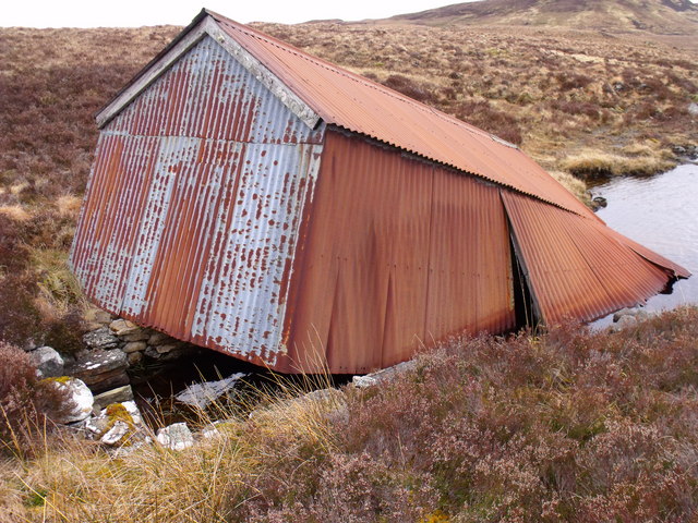
Images are sourced within 2km of 57.583801/-4.835302 or Grid Reference NH3058. Thanks to Geograph Open Source API. All images are credited.
Loch Cùl is located at Grid Ref: NH3058 (Lat: 57.583801, Lng: -4.835302)
Unitary Authority: Highland
Police Authority: Highlands and Islands
What 3 Words
///grove.cases.shots. Near Achnasheen, Highland
Nearby Locations
Related Wikis

Grudie
Grudie (Grùididh in Scottish Gaelic) is a village, situated between Loch a' Chuilinn and Loch Luichart with the River Bran flowing past Grudie east to...
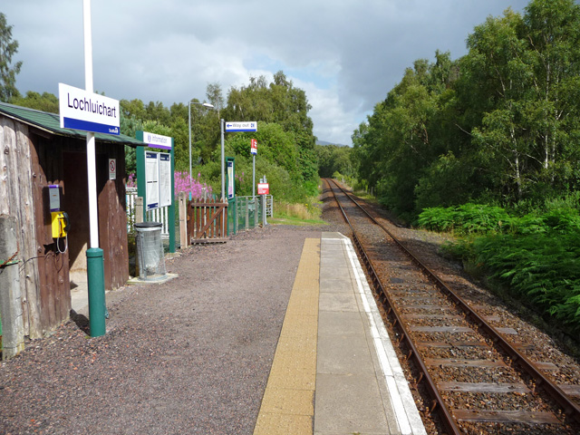
Lochluichart railway station
Lochluichart railway station is a railway station on the Kyle of Lochalsh Line, serving the village of Lochluichart in the north of Scotland. The station...
Sgurr a' Mhuilinn
Sgurr a' Mhuilinn (879 m) is a mountain in Highland, Scotland. It lies in a remote location in the Northwest Highlands, approximately 40 miles (64 km)...

Achanalt railway station
Achanalt railway station is a geographically remote railway station on the Kyle of Lochalsh Line, serving the village of Achanalt in the north of Scotland...
Have you been to Loch Cùl?
Leave your review of Loch Cùl below (or comments, questions and feedback).