Black Loch

Lake, Pool, Pond, Freshwater Marsh in Wigtownshire

Scotland

Black Loch

Farmland near Corwall Port
Farmland near Corwall Port Credit: Billy McCrorie

Black Loch is a freshwater loch located in Wigtownshire, Scotland. Nestled amidst picturesque surroundings, this natural water body spans an area of approximately 50 hectares. It is situated about 2 miles southwest of the town of Stranraer and is easily accessible by road.

The loch is renowned for its rich biodiversity and serves as an important habitat for various flora and fauna. It is home to a wide range of aquatic plants, including water lilies, reeds, and rushes. These plants provide shelter and food for numerous species of birds, insects, and small mammals that inhabit the area.

Black Loch is particularly popular among birdwatchers due to its diverse avian population. Visitors can spot a variety of water birds, such as swans, ducks, geese, and herons, as well as songbirds like warblers and finches. The loch also attracts migratory birds during certain seasons, adding to its charm and appeal for nature enthusiasts.

The surrounding area of Black Loch offers several walking trails and picnic spots, making it an ideal destination for outdoor activities and relaxation. Fishing is permitted in the loch, with anglers often seeking trout and perch. A fishing permit is required, and anglers should adhere to local regulations and guidelines.

Overall, Black Loch in Wigtownshire is a tranquil and captivating freshwater ecosystem. Its natural beauty, diverse wildlife, and recreational opportunities make it a cherished destination for locals and visitors alike.

If you have any feedback on the listing, please let us know in the comments section below.
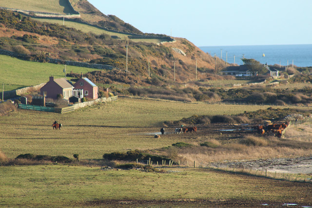
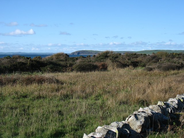
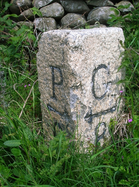
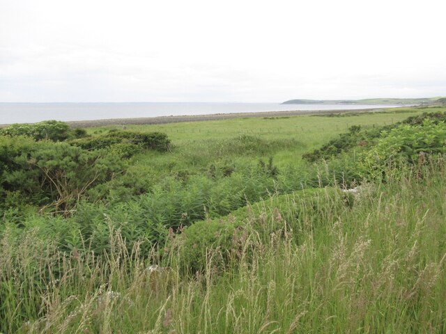
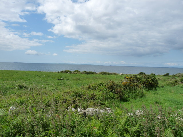
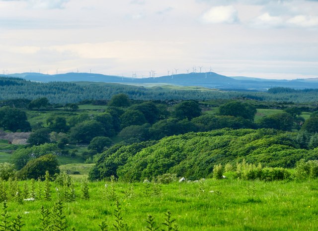
Black Loch Images

Images are sourced within 2km of 54.823737/-4.6764125 or Grid Reference NX2850. Thanks to Geograph Open Source API. All images are credited.

Farmland near Corwall Port
Scrubland near the shore at Corwall
Old Milestone by the A747, near Alticry Bridge, Mochrum parish Milestone by the A747, in parish of Mochrum (Wigtownshire District), South of junction with the B7005, 100m North of Shore Cottage, Northeast side of road.

Inscription reads:-
: P / {arrow->} / 6 : : G / {<-arrow} / 8 : 
(To Port William and Glenluce)

Surveyed

Milestone Society National ID: DG_PWGL06
Old Milestone by the A747, near Alticry Bridge, Mochrum parish
Milestone by the A747, in parish of Mochrum (Wigtownshire District), South of junction with the B7005, 100m North of Shore Cottage, Northeast side of road. Inscription reads:- : P / {arrow->} / 6 : : G / {<-arrow} / 8 : (To Port William and Glenluce) Surveyed Milestone Society National ID: DG_PWGL06
Coastal strip, Corwall The strip below the heugh gets wider north of here, room for some fields.
Coastal strip, Corwall
The strip below the heugh gets wider north of here, room for some fields.
Old milestone More painting by a Milestone Society member.   This milestone is near Shore Cottage and just south of the B7005 leading to Wigtown.   Travelling from Port William the 5 mile stone is missing although MS is marked on the OS map.
Old milestone
More painting by a Milestone Society member. This milestone is near Shore Cottage and just south of the B7005 leading to Wigtown. Travelling from Port William the 5 mile stone is missing although MS is marked on the OS map.
Bah Humbug I&amp;#039;ve waited a while to get a shot of these humbugs. Normally the bales are wrapped in black or white plastic. The picture was taken near to Garheugh Port just by the A747 coast road to Port William. The building just visible centre of the picture is Sea Cottage which is at the side of the B7005 road to Bladnoch and Wigtown.
Bah Humbug
I've waited a while to get a shot of these humbugs. Normally the bales are wrapped in black or white plastic. The picture was taken near to Garheugh Port just by the A747 coast road to Port William. The building just visible centre of the picture is Sea Cottage which is at the side of the B7005 road to Bladnoch and Wigtown.
Road to Port William
Road to Auchenmalg
Road to Auchenmalg
Green Coastline Looking over Luce Bay
Green Coastline
Looking over Luce Bay
Corwall Farm View of the farm on Low Moor above Luce Bay.
Corwall Farm
View of the farm on Low Moor above Luce Bay.
Track to Chapel Finian This grass track runs from Corwall Farm through Low Moor to Chapel Finian on the A747 coast road. I decided though to turn around and head back the way I came rather than have a fight with a ferocious lamb that was blocking my route.
Track to Chapel Finian
This grass track runs from Corwall Farm through Low Moor to Chapel Finian on the A747 coast road. I decided though to turn around and head back the way I came rather than have a fight with a ferocious lamb that was blocking my route.
Low Moor View across the moor towards the Mull of Sinniness and Luce Bay.
Low Moor
View across the moor towards the Mull of Sinniness and Luce Bay.
Low Moor Looking across the moors to Mains of Alticry.
Low Moor
Looking across the moors to Mains of Alticry.
View across Low Moor Looking towards Alticry with the Artfield Fell Wind Farm on the horizon.
View across Low Moor
Looking towards Alticry with the Artfield Fell Wind Farm on the horizon.
Corwall View south east over Low Moor.
Corwall
View south east over Low Moor.
Corwall View to the east over Low Moor.
Corwall
View to the east over Low Moor.
Mid Moor Wood View across the moor to the woodland with Knock Fell left of picture on the horizon.
Mid Moor Wood
View across the moor to the woodland with Knock Fell left of picture on the horizon.
Boundary Walls The stane walls on Low Moor around Corwall Farm appear mostly in good condition, no easy task in an isolated area of the Machars.
Boundary Walls
The stane walls on Low Moor around Corwall Farm appear mostly in good condition, no easy task in an isolated area of the Machars.
Show me another place!

Black Loch is located at Grid Ref: NX2850 (Lat: 54.823737, Lng: -4.6764125)

Unitary Authority: Dumfries and Galloway

Police Authority: Dumfries and Galloway

What 3 Words

///videos.nudge.risks. Near Newton Stewart, Dumfries & Galloway

Related Wikis

Doon of May

The Doon of May is a conifer plantation associated with an Iron Age hill fort in Dumfries and Galloway, south-west Scotland. Located around 14 kilometres...

Machars

The Machars (Scottish Gaelic: Machair Ghallghaidhealaibh) is a peninsula in the historical county of Wigtownshire in Galloway in the south-west of Scotland...

Mochrum Loch

Mochrum Loch is a large, irregular shaped, shallow, freshwater loch in Dumfries and Galloway, in the Southern Uplands of south-west Scotland. It lies approximately...

Castle Loch, Dumfries and Galloway

Castle Loch is a large, shallow, freshwater loch in Dumfries and Galloway, in the Southern Uplands of south-west Scotland. It lies to the west of Mochrum...

Have you been to Black Loch?

Leave your review of Black Loch below (or comments, questions and feedback).