Gryfe Reservoir Number 1

Lake, Pool, Pond, Freshwater Marsh in Renfrewshire

Scotland

Gryfe Reservoir Number 1

Corlick Hill (trig point) Looking towards Kilcreggan and Helensburgh from the summit of Corlick Hill
Corlick Hill (trig point) Credit: Raibeart MacAoidh

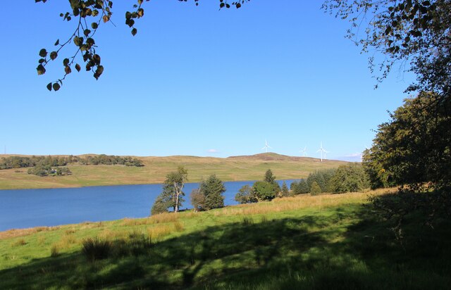
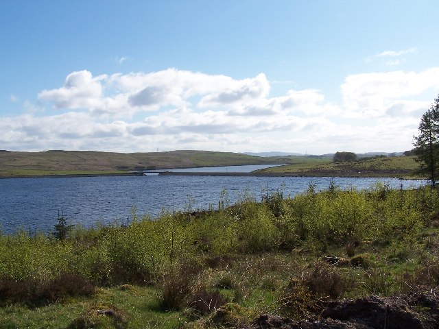
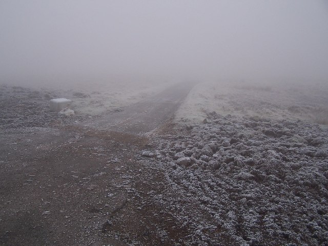
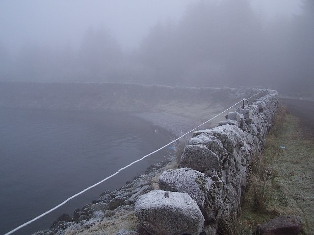
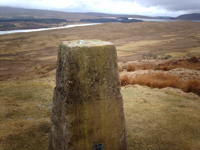
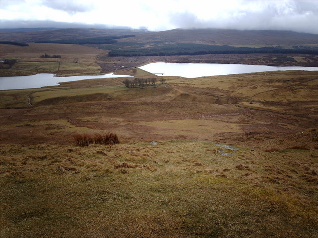
Gryfe Reservoir Number 1, located in Renfrewshire, Scotland, is a man-made freshwater reservoir that serves as a crucial water resource for the local community. The reservoir, also known as a lake, covers an area of approximately 20 acres and is surrounded by picturesque scenery, including rolling hills and lush greenery.

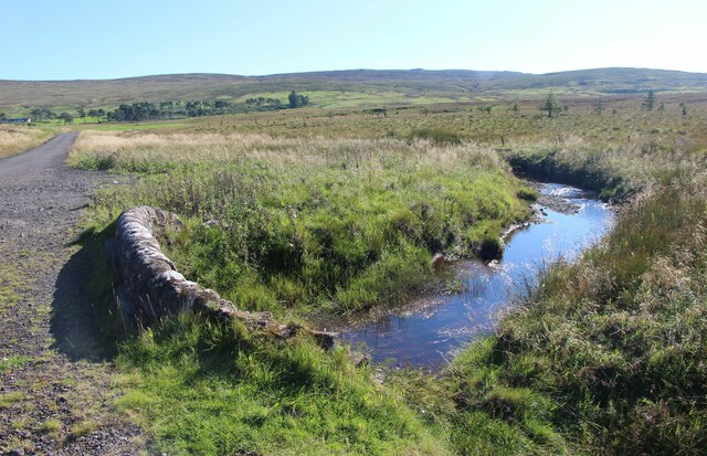
The primary purpose of Gryfe Reservoir Number 1 is to store water for domestic and industrial use. It collects water from the Gryfe River and other nearby sources, ensuring a consistent water supply for the region. The reservoir is equipped with a dam that helps regulate the water levels and prevent flooding during heavy rainfall.

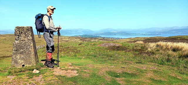
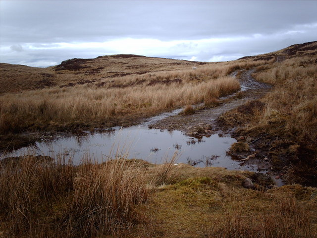
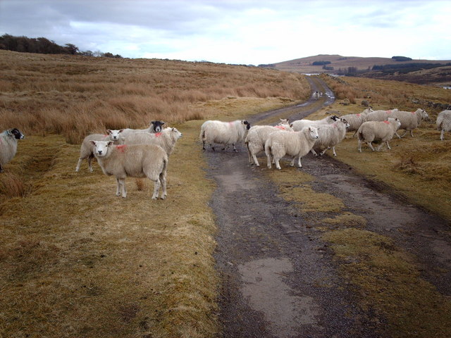
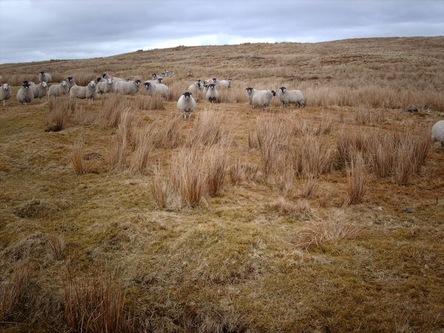
The water in Gryfe Reservoir Number 1 is relatively calm and still, making it suitable for various recreational activities. Anglers can be seen casting their lines, as the reservoir is home to a variety of fish species, including trout and perch. The tranquil environment also attracts birdwatchers, who can spot numerous waterfowl and migratory birds in the surrounding marshland.

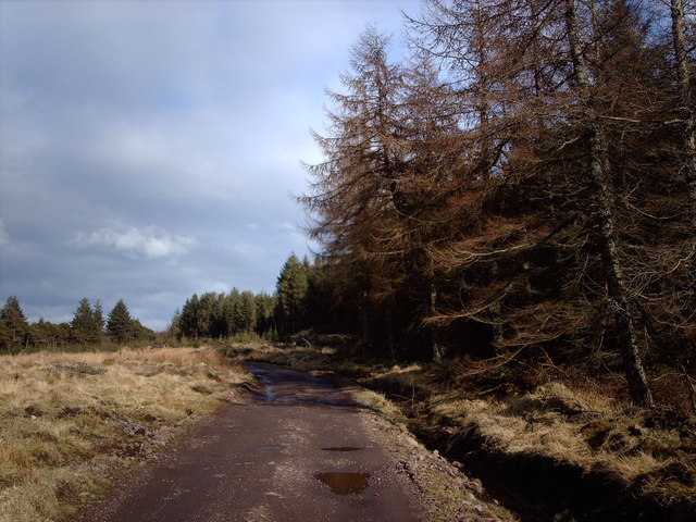
The reservoir is surrounded by well-maintained paths, allowing visitors to enjoy leisurely walks and take in the stunning views. It also features picnic areas, making it a popular spot for families and groups to gather and enjoy outdoor meals.

Overall, Gryfe Reservoir Number 1 is not only a vital water source for the local community but also a serene and scenic location that offers opportunities for recreational activities and appreciation of nature.

If you have any feedback on the listing, please let us know in the comments section below.

Gryfe Reservoir Number 1 Images

Images are sourced within 2km of 55.908719/-4.7562143 or Grid Reference NS2771. Thanks to Geograph Open Source API. All images are credited.

Corlick Hill (trig point) Looking towards Kilcreggan and Helensburgh from the summit of Corlick Hill
Corlick Hill (trig point)
Looking towards Kilcreggan and Helensburgh from the summit of Corlick Hill
The upper Gryfe Water The small burn becomes the River Gryfe before joining the Black Cart near Glasgow Airport.
The upper Gryfe Water
The small burn becomes the River Gryfe before joining the Black Cart near Glasgow Airport.
Gryfe Reservoir No.1
Bridge between Gryfe Reservoirs
Road to Killochend Farm
Bridge between Loch Thom and Gryfe reservoirs
Loch Thom the South West corner
Loch Thom
the South West corner
Burnhead Moor Looking north from the SE corner of the square.
Burnhead Moor
Looking north from the SE corner of the square.
Air Vent on Burnhead Moor This circular structure is about eight feet high and is an air vent related to the nearby water works. Corlick Hill can be seen in the background, to the east. The black cable in the left foreground can also be seen at <a href="https://www.geograph.org.uk/photo/143247">NS2873 : Remote GPO Junction Box</a>.
Air Vent on Burnhead Moor
This circular structure is about eight feet high and is an air vent related to the nearby water works. Corlick Hill can be seen in the background, to the east. The black cable in the left foreground can also be seen at NS2873 : Remote GPO Junction Box.
Lower Gryfe Reservoir from Corlick Hill Looking SE from the summit of Corlick Hill. Most of the reservoir is in <a href="https://www.geograph.org.uk/gridref/NS2971">NS2971</a>.
Lower Gryfe Reservoir from Corlick Hill
Looking SE from the summit of Corlick Hill. Most of the reservoir is in NS2971.
Burnhead Moor Looking north where the River Clyde, the mist covered Rosneath Peninsula and the Gareloch can be seen in the background.
Burnhead Moor
Looking north where the River Clyde, the mist covered Rosneath Peninsula and the Gareloch can be seen in the background.
Road Block Track heading east to Darndaff. A sliver of the Upper Gryfe reservoir and Cairncurran Hill can be seen in the background.
Road Block
Track heading east to Darndaff. A sliver of the Upper Gryfe reservoir and Cairncurran Hill can be seen in the background.
Track Leading To Garshangan The track leads from the Old Largs Road to Garshangan on the banks of the Upper Gryfe reservoir.
Track Leading To Garshangan
The track leads from the Old Largs Road to Garshangan on the banks of the Upper Gryfe reservoir.
Dowries Farm Looking SE, the hill on the left is Corkney Top.
Dowries Farm
Looking SE, the hill on the left is Corkney Top.
Ouse Hill Looking south towards Ouse Hill.
Ouse Hill
Looking south towards Ouse Hill.
Sheep of the Damned Like a scene from a B movie, these staring sheep materialised while my back was turned for a minute.
Sheep of the Damned
Like a scene from a B movie, these staring sheep materialised while my back was turned for a minute.
Triangulation Pillar on Corlick Hill Looking west, Upper Gryfe reservoir is on the left, with Loch Thom, Dunrod Hill and the ubiquitous Inverkip Power Station chimney in the background.
Triangulation Pillar on Corlick Hill
Looking west, Upper Gryfe reservoir is on the left, with Loch Thom, Dunrod Hill and the ubiquitous Inverkip Power Station chimney in the background.
Gryfe Reservoirs from Corlick Hill Looking south, Lower Gryfe on the left, Upper Gryfe on the right.
Gryfe Reservoirs from Corlick Hill
Looking south, Lower Gryfe on the left, Upper Gryfe on the right.
Show me another place!

Gryfe Reservoir Number 1 is located at Grid Ref: NS2771 (Lat: 55.908719, Lng: -4.7562143)

Unitary Authority: Inverclyde

Police Authority: Renfrewshire and Inverclyde

What 3 Words

///fortnight.bronzes.blues. Near Greenock, Inverclyde

Nearby Locations

Gryfe Reservoir Number 1

Related Wikis

Gryffe Reservoirs

The Gryffe Reservoirs, also spelled 'Gryfe', take their name from the River Gryffe, name deriving from the Gaelic garbh meaning "rough stream". are two...

Inverclyde (UK Parliament constituency)

Inverclyde is a parliamentary constituency of the House of Commons of the Parliament of the United Kingdom. It replaced Greenock and Inverclyde and the...

Inverclyde

Inverclyde (Scots: Inerclyde, Scottish Gaelic: Inbhir Chluaidh, pronounced [iɲiɾʲˈxl̪ˠuəj], "mouth of the Clyde") is one of 32 council areas used for local...

Loch Thom

Loch Thom is a reservoir which since 1827 has provided a water supply to the town of Greenock in Inverclyde, Scotland. It is named after the civil engineer...

Whinhill railway station

Whinhill railway station is a railway station located in the east of the town of Greenock, Inverclyde, Scotland. The station is managed by ScotRail and...

Easter Greenock Castle

Easter Greenock Castle was a castle of unknown design near the burgh of Greenock, Scotland. == History == === Construction and location === Built sometime...

Overton, Greenock

Overton is an area in the suburbs of Greenock, Inverclyde. Overton offers excellent views across the River Clyde and suburban Greenock. The area is the...

Upper Greenock railway station

Upper Greenock railway station was a railway station serving the town of Greenock, Inverclyde, Scotland, originally as part of the Greenock and Wemyss...

Nearby Amenities

Located within 500m of 55.908719,-4.7562143
Power: pole
Lat/Long: 55.905051/-4.7599771
Power: pole
Lat/Long: 55.9057202/-4.7593668
Power: pole
Lat/Long: 55.9062562/-4.758898
Power: pole
Lat/Long: 55.9061195/-4.7577231
Power: pole
Lat/Long: 55.9059736/-4.7563482
Power: pole
Lat/Long: 55.9058241/-4.7550296
Power: pole
Lat/Long: 55.905677/-4.7536963
Power: pole
Lat/Long: 55.9055065/-4.7522193
The data included in this document is from www.openstreetmap.org. The data is made available under ODbL.

Have you been to Gryfe Reservoir Number 1?

Leave your review of Gryfe Reservoir Number 1 below (or comments, questions and feedback).