Glutton Bridge
Settlement in Derbyshire Derbyshire Dales
England
Glutton Bridge
Glutton Bridge is a quaint stone bridge located in the picturesque countryside of Derbyshire, England. Situated in the village of Hartington, it spans over the sparkling waters of the River Dove, a tributary of the River Trent. The bridge is a notable landmark and a popular attraction for both locals and visitors alike.
Constructed in the 17th century, Glutton Bridge showcases remarkable architectural craftsmanship. Made entirely of local limestone, its sturdy structure has withstood the test of time, serving as a vital transportation route for centuries. The bridge features a single arch, providing an elegant and harmonious design that blends seamlessly with its natural surroundings.
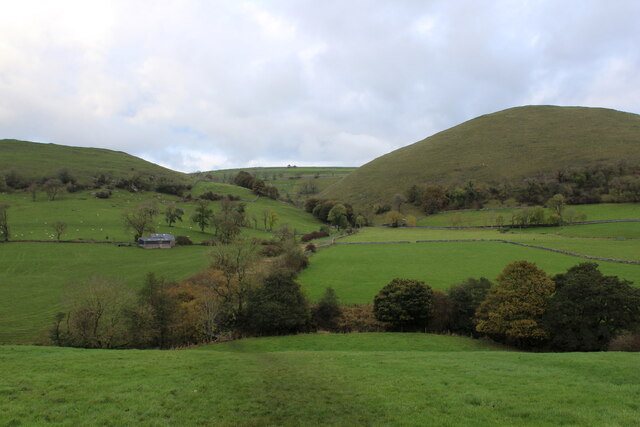
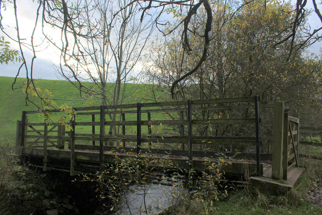
Surrounded by lush greenery and rolling hills, Glutton Bridge offers a serene setting for leisurely walks and picnics. Its tranquil ambiance and breathtaking views make it a favorite spot for nature enthusiasts, photographers, and artists seeking inspiration. The bridge also serves as a starting point for various walking trails and hikes, allowing visitors to explore the idyllic countryside and discover hidden gems along the River Dove.
Glutton Bridge holds historical significance, as it played a vital role in the region's agricultural and industrial past. It was once a crucial link for transporting goods, livestock, and people between the neighboring villages. Today, it stands as a testament to the region's rich heritage and represents a connection to the past.
In conclusion, Glutton Bridge is a charming and historically significant landmark in Derbyshire. Its natural beauty, architectural splendor, and historical importance make it a must-visit destination for those seeking a tranquil escape in the heart of the English countryside.
If you have any feedback on the listing, please let us know in the comments section below.
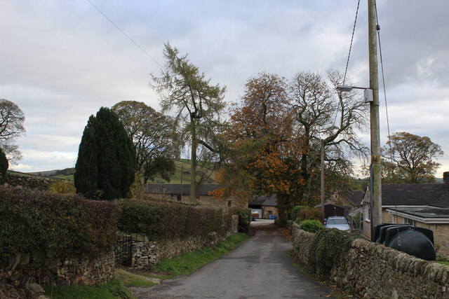
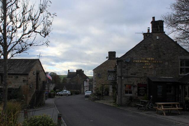
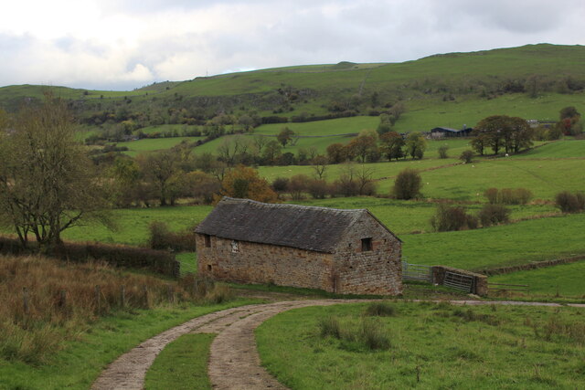
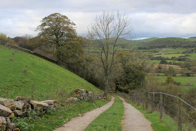
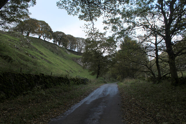
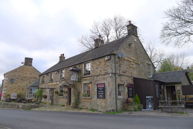
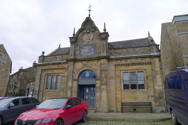
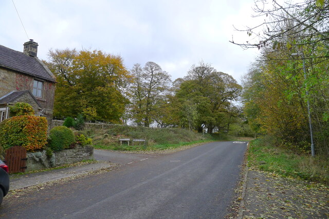
Glutton Bridge Images
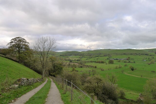
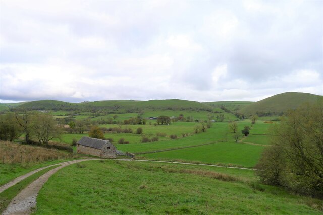
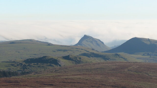
Images are sourced within 2km of 53.195505/-1.877226 or Grid Reference SK0866. Thanks to Geograph Open Source API. All images are credited.


Glutton Bridge is located at Grid Ref: SK0866 (Lat: 53.195505, Lng: -1.877226)
Administrative County: Derbyshire
District: Derbyshire Dales
Police Authority: Derbyshire
What 3 Words
///dimes.urge.positions. Near Buxton, Derbyshire
Nearby Locations
Related Wikis

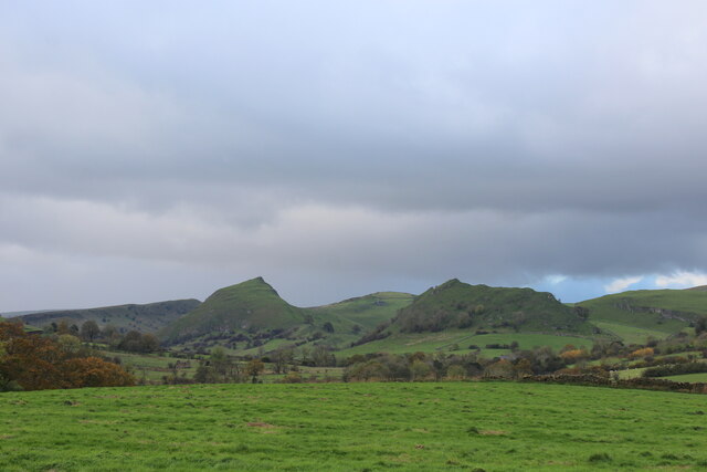
Parkhouse Hill
Parkhouse Hill is a small but distinctive hill in the Peak District National Park of the Hartington Middle Quarter civil parish, in the English county...

Earl Sterndale
Earl Sterndale is a village in the Upper Dove Valley in the Peak District, Derbyshire, England, situated near the River Dove, 5 miles south of Buxton,...

Chrome Hill
Chrome Hill is a limestone reef knoll in Derbyshire, England, in the upper Dove valley beside the border with Staffordshire, within the civil parish...

Longnor, Staffordshire
Longnor is a village in the Staffordshire Peak District, England. The settlement dates from early times, the first recorded church building being in the...
Nearby Amenities
Located within 500m of 53.195505,-1.877226Have you been to Glutton Bridge?
Leave your review of Glutton Bridge below (or comments, questions and feedback).