Fowey Well
Lake, Pool, Pond, Freshwater Marsh in Cornwall
England
Fowey Well
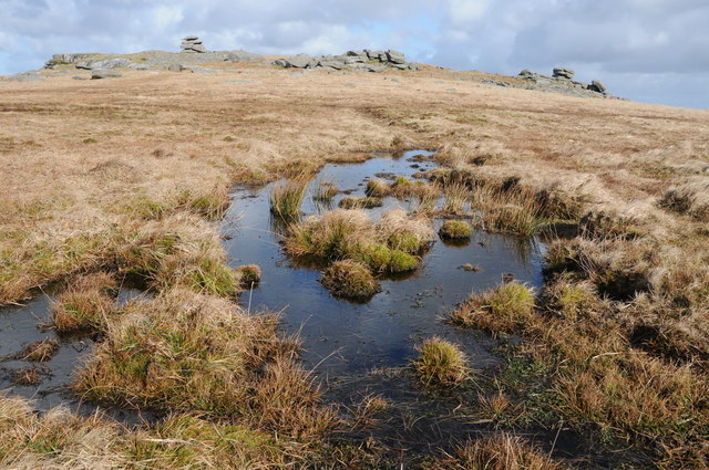
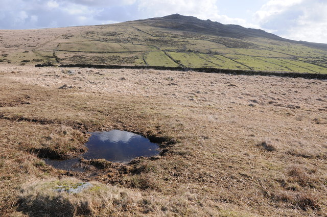
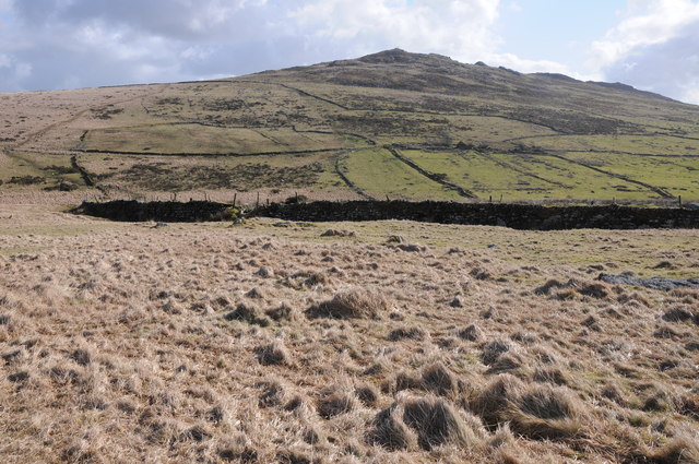
Fowey Well is a freshwater marsh located in Fowey, a small coastal town in Cornwall, England. It is a small, tranquil body of water that serves as a haven for various aquatic plants and wildlife. The well is nestled within a picturesque landscape, surrounded by lush greenery and rolling hills.
Measuring approximately 1 acre in size, Fowey Well is a natural feature that offers a peaceful retreat for visitors to enjoy. The water is clear and calm, reflecting the beauty of its surroundings. The well is fed by natural springs, ensuring a constant flow of freshwater.
The marsh surrounding Fowey Well is home to a diverse range of plants and wildlife. Various species of water lilies, reeds, and rushes thrive in this wetland environment. These plants provide crucial habitats for a variety of insects, birds, and small mammals. Visitors can spot dragonflies hovering above the water, birds nesting in the vegetation, and occasionally, if they're lucky, glimpses of otters swimming in the well.
Fowey Well is a popular spot for nature enthusiasts, who can explore the area through walking trails that wind around the marsh. Benches are strategically placed along the paths, allowing visitors to sit and soak in the serenity of the surroundings. The well also attracts artists and photographers, who are captivated by its natural beauty and the unique wildlife it hosts.
Overall, Fowey Well is a hidden gem in Cornwall, offering a serene and picturesque setting for visitors to enjoy the wonders of nature.
If you have any feedback on the listing, please let us know in the comments section below.
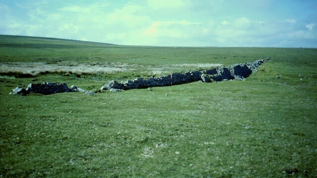
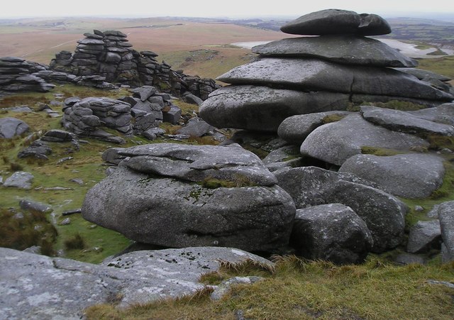
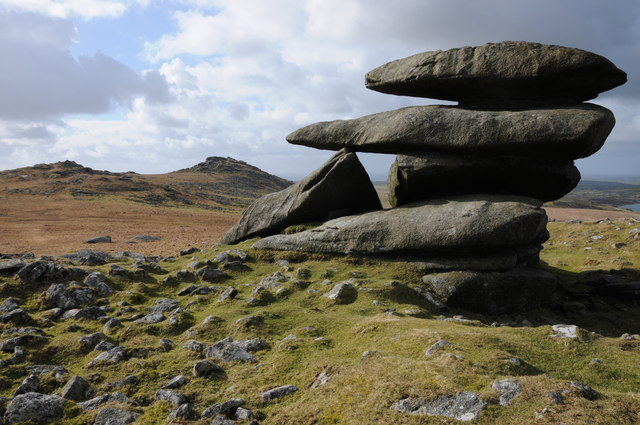
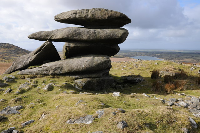
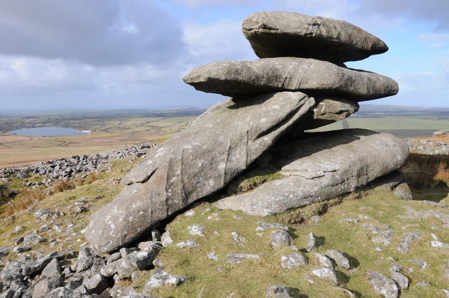
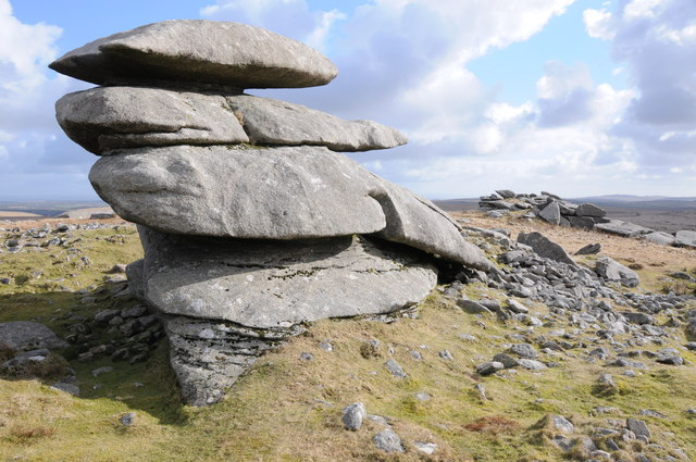
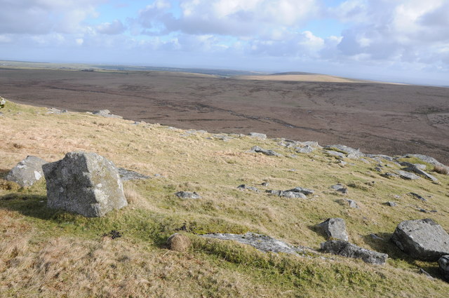
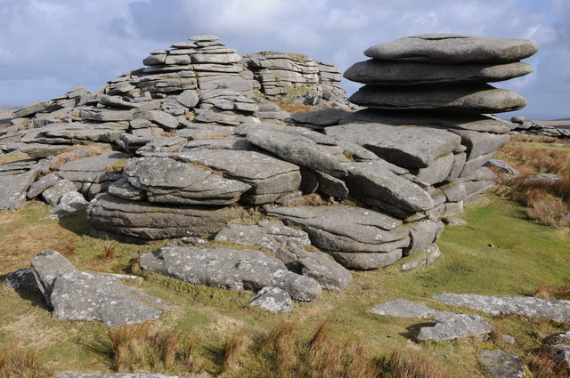
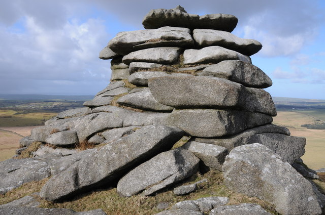
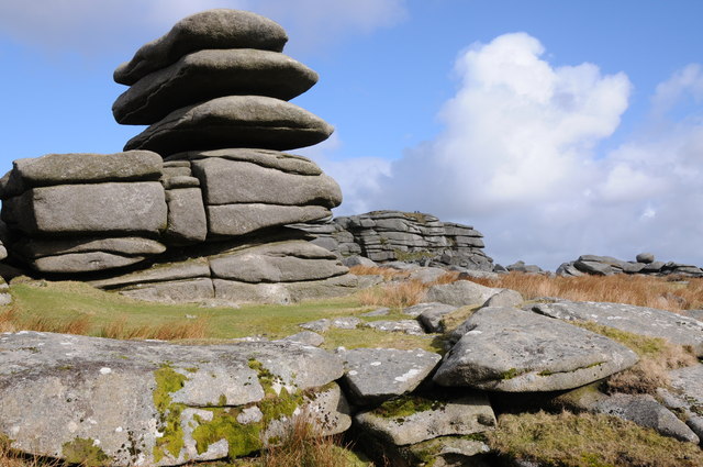
Fowey Well Images
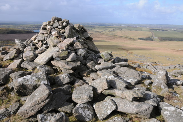
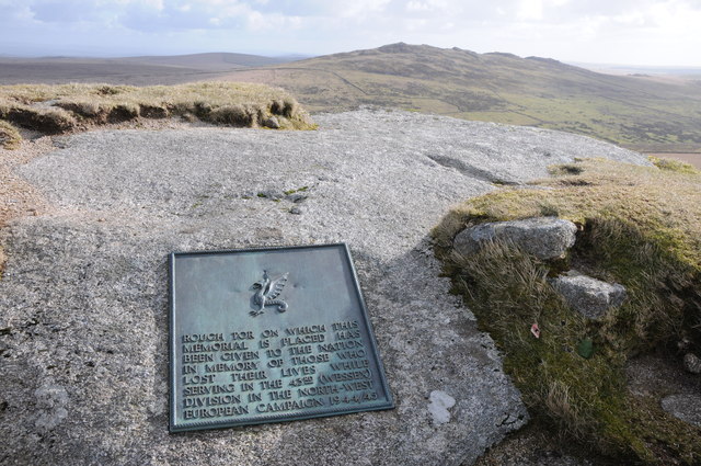
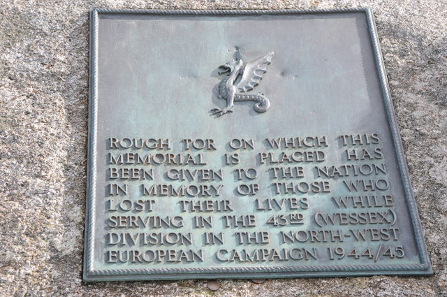
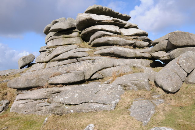
Images are sourced within 2km of 50.59117/-4.5973795 or Grid Reference SX1680. Thanks to Geograph Open Source API. All images are credited.
Fowey Well is located at Grid Ref: SX1680 (Lat: 50.59117, Lng: -4.5973795)
Unitary Authority: Cornwall
Police Authority: Devon and Cornwall
What 3 Words
///flick.rocky.strictest. Near Camelford, Cornwall
Nearby Locations
Related Wikis
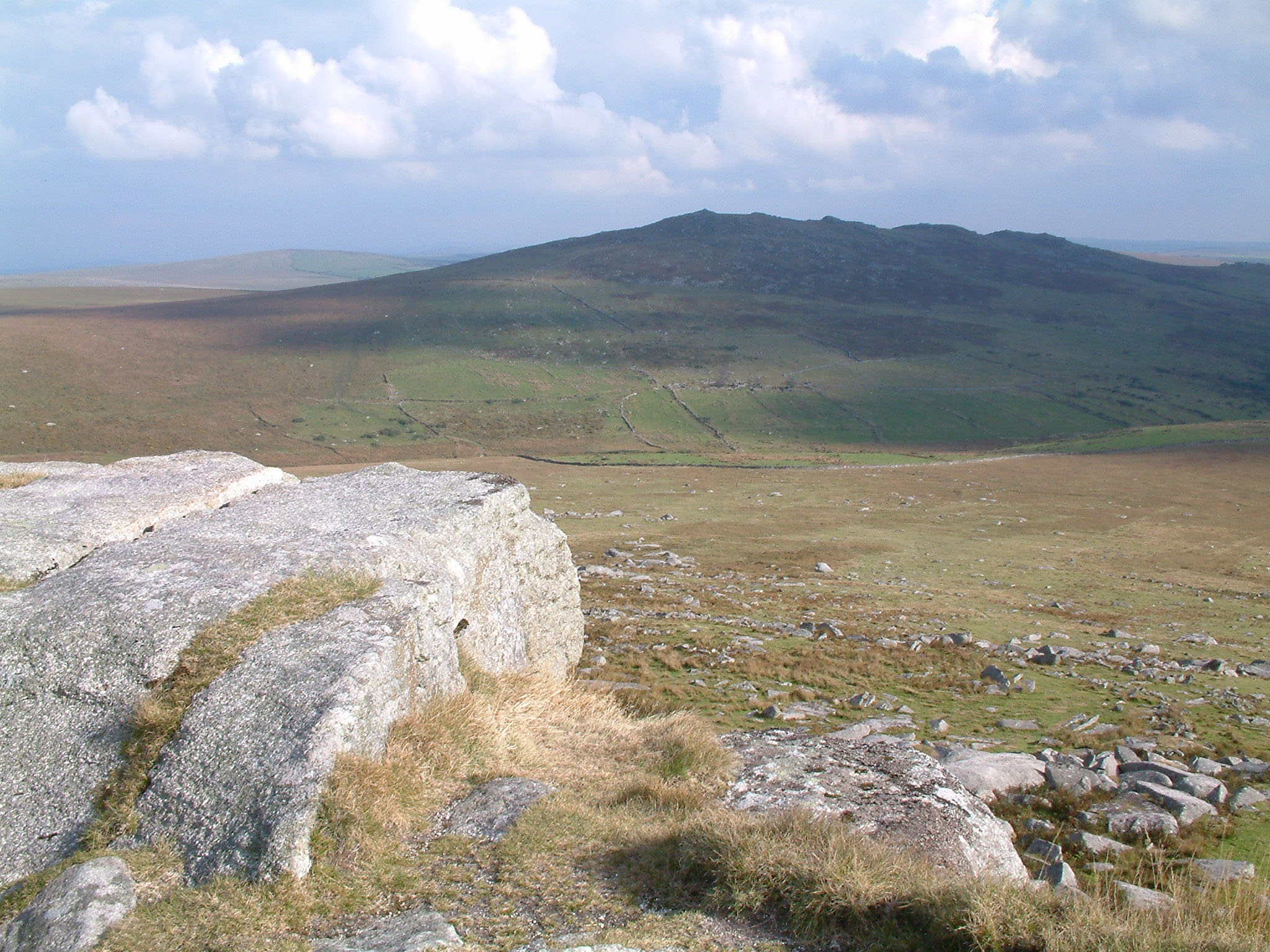
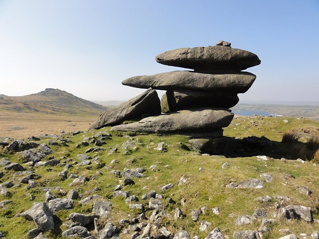
Brown Willy
Brown Willy (possibly from Cornish Bronn Wennili meaning "hill of swallows" or from Cornish Bronn Ewhella meaning "highest hill") is a hill in Cornwall...

Showery Tor
Showery Tor is a rocky outcrop on a ridge-top approximately 0.6 kilometres (0.37 mi) north of the Rough Tor summit, near Camelford on Bodmin Moor in Cornwall...

Fernacre
Fernacre (grid reference SX14477997), also known as Fernacre stone circle or Fernacre circle, is a stone circle located on the slopes of the De Lank River...

Rough Tor
Rough Tor (), or Roughtor, is a tor on Bodmin Moor, Cornwall, England, United Kingdom. The site is composed of the tor summit and logan stone, a neolithic...
Nearby Amenities
Located within 500m of 50.59117,-4.5973795Have you been to Fowey Well?
Leave your review of Fowey Well below (or comments, questions and feedback).