Loch nan Claidhmhnean
Lake, Pool, Pond, Freshwater Marsh in Sutherland
Scotland
Loch nan Claidhmhnean

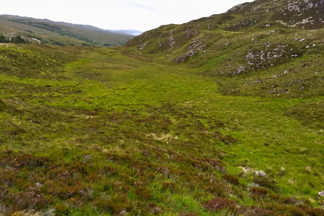
Loch nan Claidhmhnean is a picturesque freshwater loch located in the region of Sutherland, Scotland. This charming body of water is nestled amidst the rugged and breathtaking landscapes of the Scottish Highlands.
Covering an area of approximately 1.5 square kilometers, Loch nan Claidhmhnean is surrounded by rolling hills and lush green vegetation, adding to its natural beauty. The loch is known for its crystal-clear waters, which reflect the stunning scenery that surrounds it, creating a tranquil and serene atmosphere.
The shores of Loch nan Claidhmhnean are lined with a variety of plant species, including reeds, rushes, and water lilies. This rich vegetation provides a habitat for a diverse range of wildlife, making it a popular spot for birdwatching enthusiasts. Visitors can often spot a variety of bird species, including ducks, swans, and herons, as well as occasional sightings of otters and deer.
The loch is also a haven for fishing enthusiasts, offering opportunities to catch brown trout and other freshwater fish. Anglers can enjoy the peaceful surroundings while trying their luck in the calm waters.
Surrounded by unspoiled landscapes, Loch nan Claidhmhnean offers a serene and idyllic getaway for nature lovers and outdoor enthusiasts alike. With its scenic beauty, diverse wildlife, and recreational activities, this freshwater loch is a hidden gem in the heart of the Scottish Highlands.
If you have any feedback on the listing, please let us know in the comments section below.
Loch nan Claidhmhnean Images
Images are sourced within 2km of 58.238325/-5.1330635 or Grid Reference NC1632. Thanks to Geograph Open Source API. All images are credited.


Loch nan Claidhmhnean is located at Grid Ref: NC1632 (Lat: 58.238325, Lng: -5.1330635)
Unitary Authority: Highland
Police Authority: Highlands and Islands
What 3 Words
///contexts.trembles.rationing. Near Clachtoll, Highland
Nearby Locations
Related Wikis
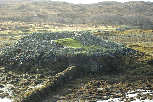
An Dun
An Dun is an Iron Age broch or dun at the south-east of Loch Ardbhair, Highland, Scotland, UK. An Dun stands on an isolated rock at the south end of Loch...

Ardvar
Ardvar is a small settlement in Assynt district of Sutherland located within the Highland council area of Scotland. It is located on the banks of Loch...

Nedd
Nedd (Scottish Gaelic: An Nead) is a small village, which lies on the western head of Loch Nedd in Lairg, western Sutherland, Scottish Highlands and is...

MV Bermuda
MV Bermuda was a passenger motor ship that Furness, Withy's Furness Bermuda Line operated between New York and Bermuda from 1928 until 1931. She was damaged...

Drumbeg, Sutherland
Drumbeg (Scottish Gaelic: An Druim Beag) is a remote crofting village on the north west coast of Scotland in Assynt, Sutherland, Scottish Highlands and...
Port HHZ
Port HHZ was a shore establishment of the Royal Navy during the Second World War. It was based at Loch Cairnbawn, Scotland, and was established in 1942...
Loch a' Chàirn Bhàin
Loch a' Chàirn Bhàin (Gaelic for "White Cairn Loch"), or Loch Cairnbawn, is a sea inlet off Eddrachillis Bay on the west coast of the Scottish Highlands...
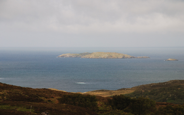
Calbha Beag
Calbha Beag is an uninhabited island in Eddrachillis Bay, off Sutherland, Highland, Scotland. It is immediately to the west of Calbha Mor. An estimate...
Nearby Amenities
Located within 500m of 58.238325,-5.1330635Have you been to Loch nan Claidhmhnean?
Leave your review of Loch nan Claidhmhnean below (or comments, questions and feedback).