Glenternie
Settlement in Peeblesshire
Scotland
Glenternie
Glenternie is a small village located in the picturesque region of Peeblesshire, Scotland. Situated amidst rolling hills and lush green landscapes, this charming village exudes a tranquil and idyllic atmosphere. It is nestled along the banks of the scenic River Tweed, offering residents and visitors breathtaking views of the surrounding countryside.
Despite its modest size, Glenternie boasts a rich history that dates back centuries. The village is home to several well-preserved historic buildings, including a quaint parish church and a handful of traditional stone cottages. These architectural gems serve as a reminder of the village's heritage and add to its unique charm.
Glenternie is a haven for nature enthusiasts, with an abundance of outdoor activities to partake in. The nearby Glenternie Forest provides ample opportunities for hiking, cycling, and birdwatching. The river is also a popular spot for fishing, attracting anglers from far and wide.
Although it is primarily a residential area, Glenternie offers a few amenities to cater to its residents' needs. A local pub and a small convenience store provide essential services, while nearby Peeblesshire provides a wider range of shopping and dining options.
Transportation in Glenternie is primarily reliant on private vehicles, as public transport options are limited. However, the village's peaceful and secluded setting allows residents to enjoy a slower pace of life away from the hustle and bustle of larger towns and cities.
In summary, Glenternie is a small, historic village in Peeblesshire that offers a tranquil and scenic setting for residents and visitors alike. With its rich history, beautiful natural surroundings, and warm community spirit, Glenternie is a hidden gem in the Scottish countryside.
If you have any feedback on the listing, please let us know in the comments section below.
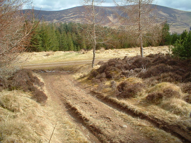
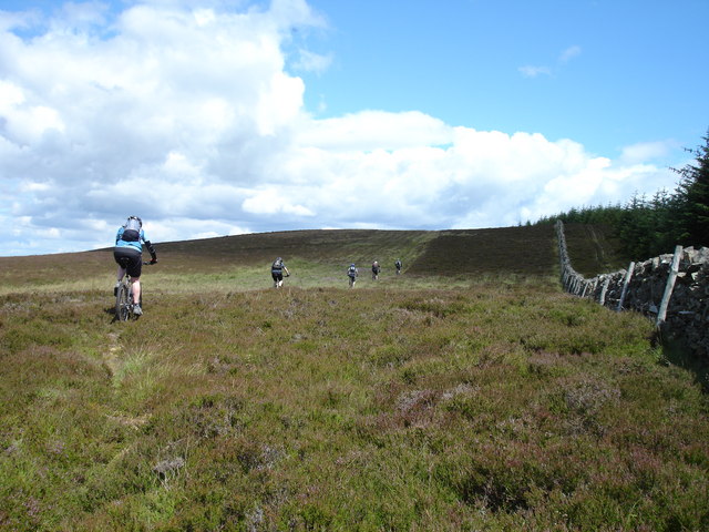
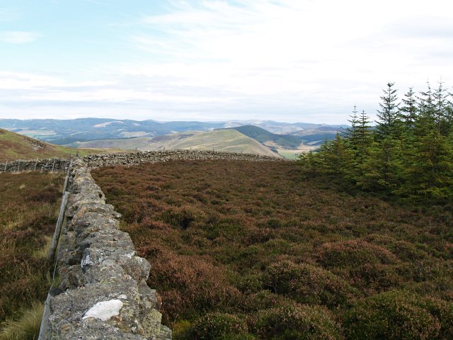
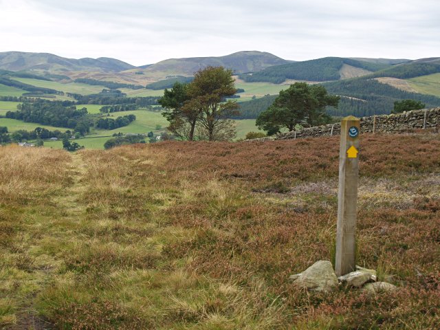
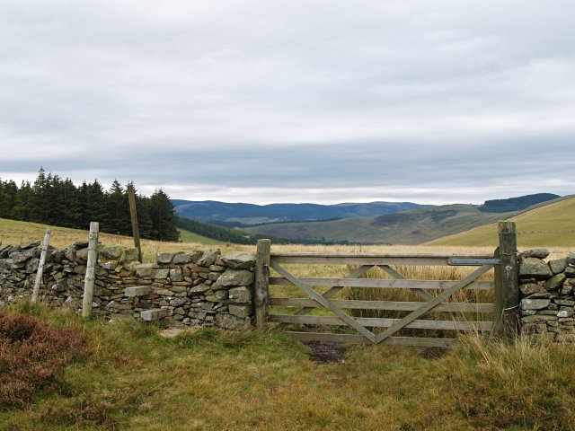
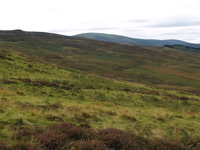
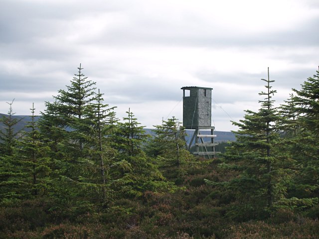
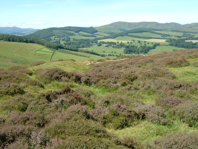
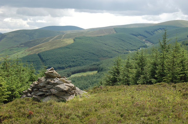
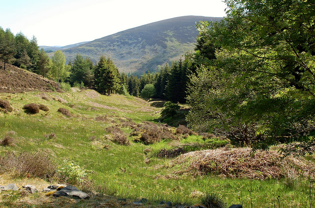
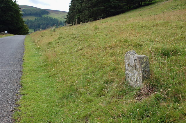
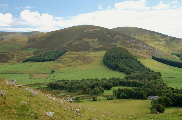
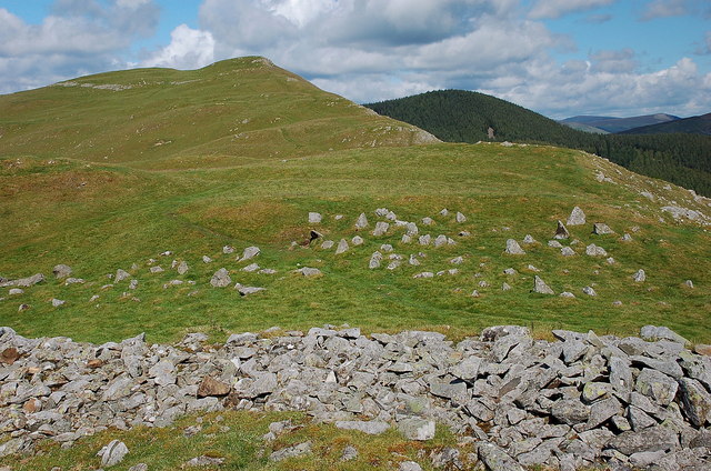
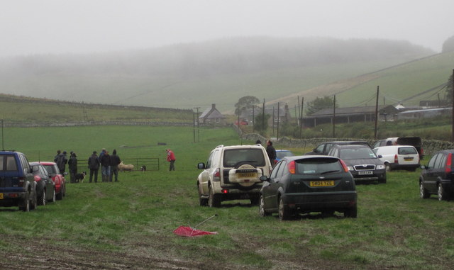
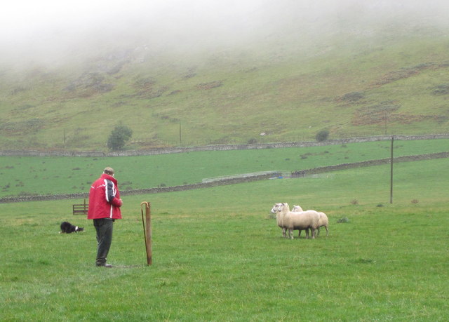
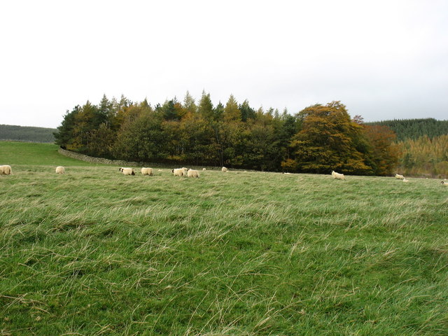
Glenternie Images
Images are sourced within 2km of 55.611161/-3.2556764 or Grid Reference NT2136. Thanks to Geograph Open Source API. All images are credited.


Glenternie is located at Grid Ref: NT2136 (Lat: 55.611161, Lng: -3.2556764)
Unitary Authority: The Scottish Borders
Police Authority: The Lothians and Scottish Borders
What 3 Words
///sprayer.replayed.snares. Near Peebles, Scottish Borders
Nearby Locations
Related Wikis
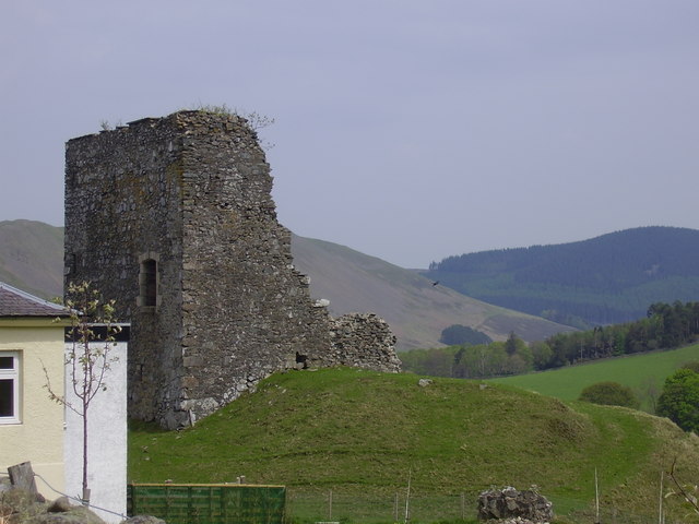
Castlehill Tower
Castlehill Tower, also known as Castle Hill of Manor, is a ruined oblong tower house dating from the end of the 15th century, situated in the parish of...

Lyne Water
The Lyne Water is a tributary of the River Tweed that rises in the Pentland Hills of southern Scotland at Baddinsgill Reservoir. It runs through West Linton...

Manor, Scottish Borders
Manor is a parish in Peeblesshire in the Scottish Borders, whose church lies on the west bank of Manor Water 3 miles south-west of Peebles.The parish...

Manor Water
Manor Water is a river in the parish of Manor, Peeblesshire in the Scottish Borders. It rises in the Ettrick Forest and flows down through the Maynor valley...
Nearby Amenities
Located within 500m of 55.611161,-3.2556764Have you been to Glenternie?
Leave your review of Glenternie below (or comments, questions and feedback).