Upper Grassy Pool
Lake, Pool, Pond, Freshwater Marsh in Sutherland
Scotland
Upper Grassy Pool
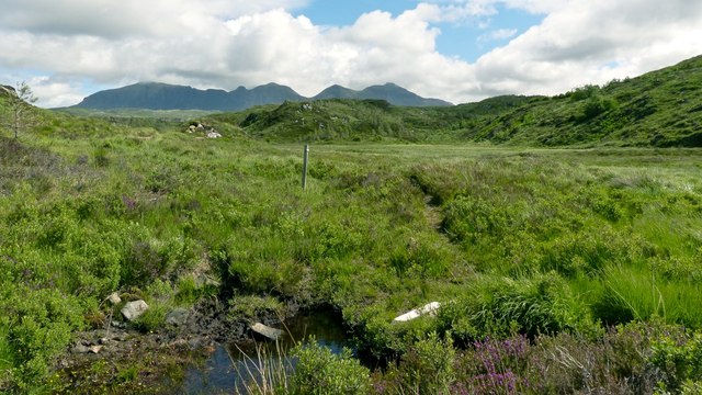
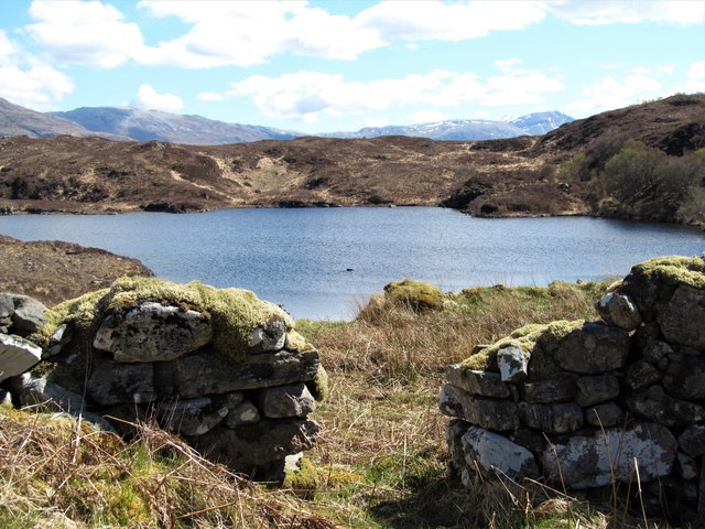
Upper Grassy Pool, located in Sutherland, is a picturesque freshwater marsh renowned for its tranquil beauty and diverse ecosystem. Covering an area of approximately 10 acres, it is a natural basin with an average depth of 3 meters. The pool is surrounded by lush vegetation, including reeds, sedges, and water lilies, which provide a perfect habitat for numerous species of waterfowl, amphibians, and fish.
The pool is fed by a small stream that originates from the nearby hills, ensuring a constant flow of fresh water. The water in Upper Grassy Pool is crystal clear and relatively shallow, allowing sunlight to penetrate to the bottom and nurture the growth of aquatic plants. These plants not only provide a source of food and shelter for the resident wildlife but also contribute to the pool's overall aesthetic appeal.
The pool is home to a variety of fish species, including pike, perch, and roach, attracting avid anglers from far and wide. Angling is a popular recreational activity here, with visitors often catching impressive specimens. In addition to fishing, Upper Grassy Pool offers opportunities for birdwatching and nature photography, thanks to its rich birdlife. Swans, ducks, herons, and coots are just a few of the species that can be spotted in and around the pool.
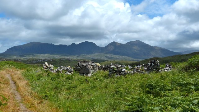
The area surrounding Upper Grassy Pool is also worth exploring, as it boasts a diverse range of flora and fauna. Visitors can enjoy leisurely walks along the well-maintained footpaths, which offer breathtaking views of the pool and its surroundings. Overall, Upper Grassy Pool is a haven for nature enthusiasts seeking tranquility and a chance to immerse themselves in the beauty of the natural world.
If you have any feedback on the listing, please let us know in the comments section below.
Upper Grassy Pool Images
Images are sourced within 2km of 58.173309/-5.1625845 or Grid Reference NC1424. Thanks to Geograph Open Source API. All images are credited.
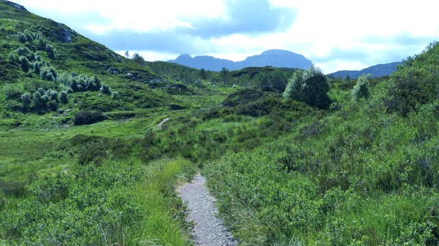
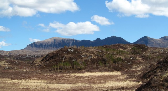
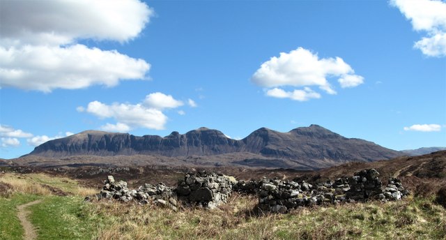
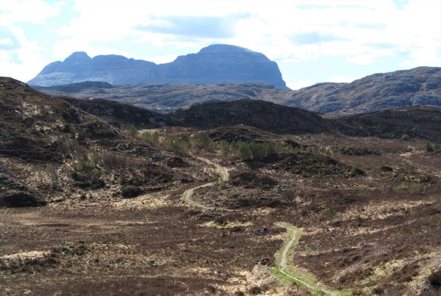
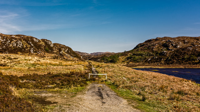
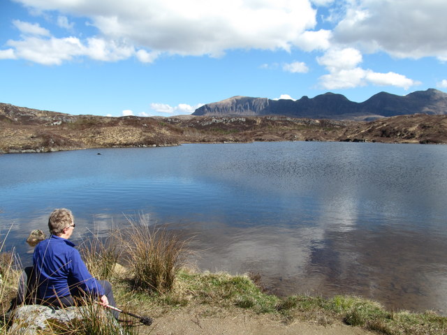
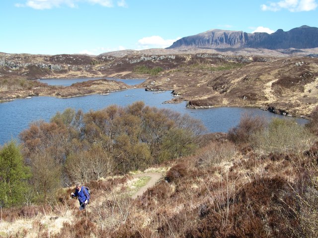
![East from point 116m The well marked and maintained path through the area leads over two small hills, this view being from the 116m spot height, and which includes the other small rocky hill [the path can be seen to the left] at 130m. The distant view is dominated by the long serrated ridge of Quirang, one of the finest mountains in the NW Highlands.](https://s0.geograph.org.uk/geophotos/05/77/72/5777232_f6bfb2e7.jpg)
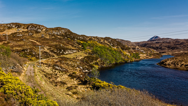
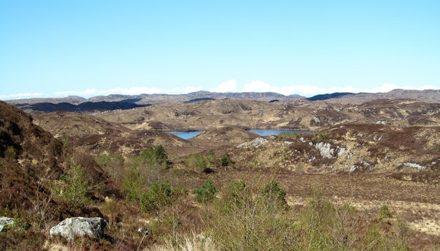
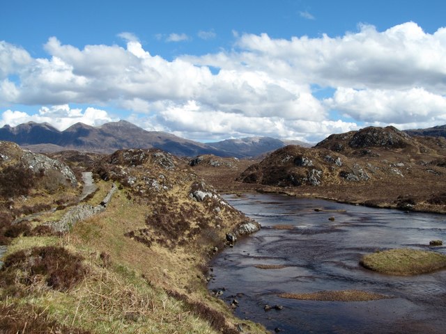
![The old road and the river The A837 is a fine road running west from Skiag Bridge to Lochinver along the shores of Loch Assynt and below the impressive flanks of Quinag. The road must have been re-engineered in the 1970&#039;s as it is shown as two way along the loch side and as single track from Little Assynt to Lochinver in a rather old [1976] road atlas of mine. Here is a small section of the old road running alongside the River Inver.](https://s3.geograph.org.uk/geophotos/05/77/90/5779063_d8fb70a5.jpg)
Upper Grassy Pool is located at Grid Ref: NC1424 (Lat: 58.173309, Lng: -5.1625845)
Unitary Authority: Highland
Police Authority: Highlands and Islands
What 3 Words
///diverged.pets.intrigued. Near Clachtoll, Highland
Nearby Locations
Related Wikis

Loch Beannach, Assynt
Loch Beannach is a small v-shaped loch, located 2 miles to the west of Loch Assynt and 3 miles northeast of Lochinver within the Assynt area of Sutherland...

Loch an Tuirc
Loch an Tuirc is a large irregular shaped, shallow loch, located about two miles north-by-north-east of Lochinver in the Assynt district of Sutherland...

Loch Leitir Easaidh
Loch Leitir Easaidh is a small shallow irregular shaped freshwater lochan that flows directly into the northwestern end of Loch Assynt in Assynt, Sutherland...

Loch Cròcach, Lochinver
Loch Cròcach is a large irregular shaped, shallow loch, located about three miles north of Lochinver in the Assynt district of Sutherland, Highland, Scotland...
Nearby Amenities
Located within 500m of 58.173309,-5.1625845Have you been to Upper Grassy Pool?
Leave your review of Upper Grassy Pool below (or comments, questions and feedback).