Eas nan Long
Lake, Pool, Pond, Freshwater Marsh in Inverness-shire
Scotland
Eas nan Long

The requested URL returned error: 429 Too Many Requests
If you have any feedback on the listing, please let us know in the comments section below.
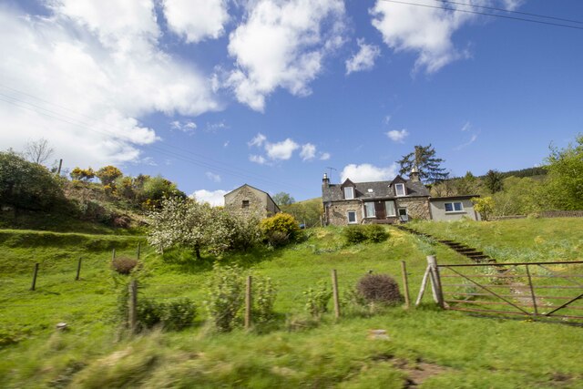
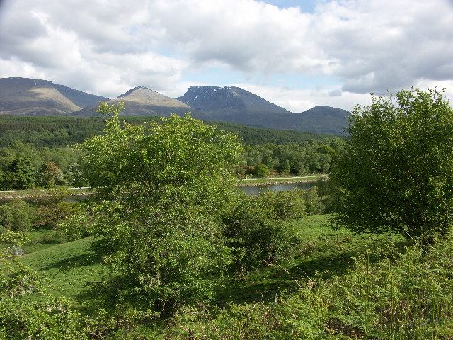
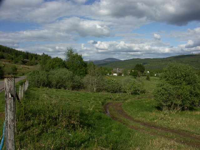
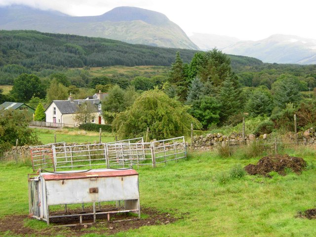
Eas nan Long Images
Images are sourced within 2km of 56.865334/-5.059878 or Grid Reference NN1379. Thanks to Geograph Open Source API. All images are credited.


Eas nan Long is located at Grid Ref: NN1379 (Lat: 56.865334, Lng: -5.059878)
Unitary Authority: Highland
Police Authority: Highlands and Islands
What 3 Words
///crouches.viewers.breakaway. Near Fort William, Highland
Nearby Locations
Related Wikis

Tor Castle
Tor Castle is a ruined castle, about 3 miles (5 kilometres) north east of Fort William, Highland, Scotland, west of the River Lochy and east of the Caledonian...

Muirshearlich
Muirshearlich (Scottish Gaelic: Muir Sìorlaich) is a small hamlet, 4 miles northeast of Fort William, along the B8004 road, in Lochaber, Scottish Highlands...
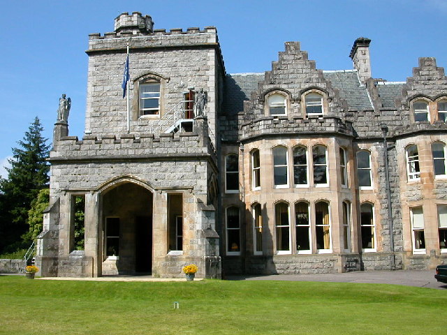
Inverlochy Castle Hotel
Inverlochy Castle Hotel, formerly known as Inverlochy Castle, is a 19th-century baronial mansion near Fort William, Scotland. It is located about two miles...
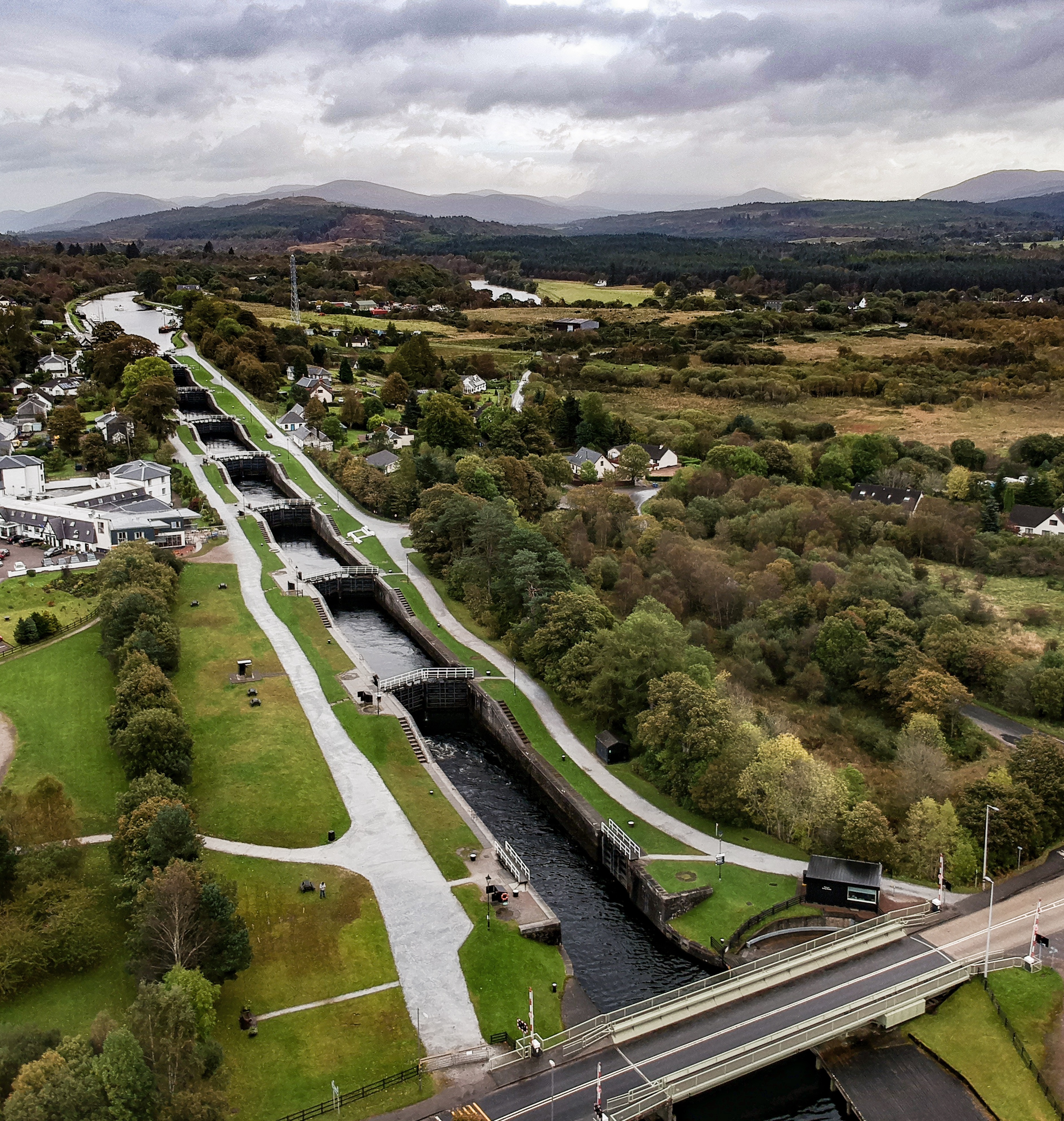
Neptune's Staircase
Neptune's Staircase (grid reference NN113769) is a staircase lock comprising eight locks on the Caledonian Canal. Built by Thomas Telford between 1803...
Nearby Amenities
Located within 500m of 56.865334,-5.059878Have you been to Eas nan Long?
Leave your review of Eas nan Long below (or comments, questions and feedback).