Glenlochar

Settlement in Kirkcudbrightshire

Scotland

Glenlochar

Glenlochar Barrage At the bottom of Loch Ken, the barrage controls the volume of water feeding into Tongland Loch further downstream, the daily storage for Tongland Power Station, the last in the chain of the Galloway Hydros.  The barrage is operated remotely from the control centre at Glenlee Power Station.
Glenlochar Barrage Credit: Paul Hookway

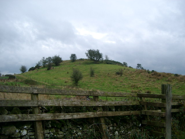
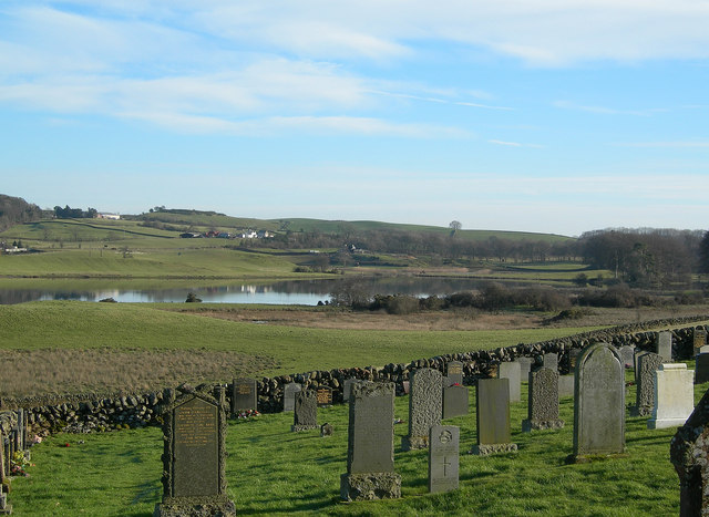
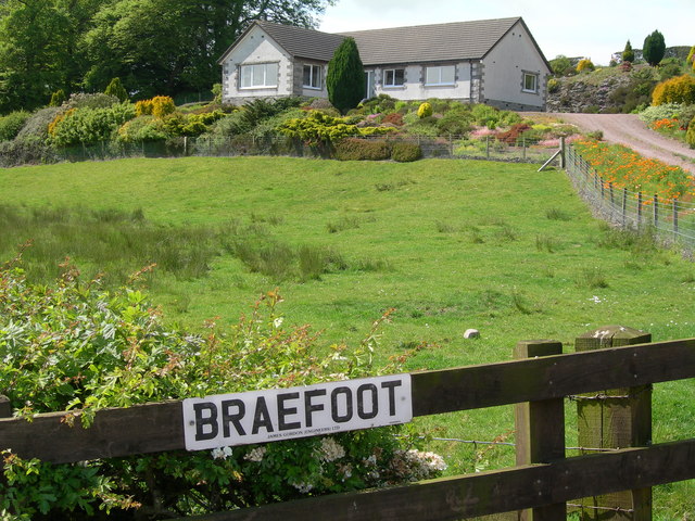
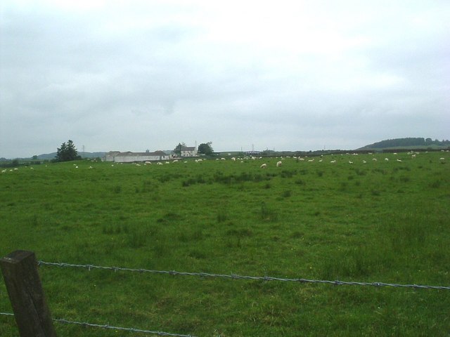
Glenlochar is a small village located in the historic county of Kirkcudbrightshire in southwest Scotland. Situated approximately 4 miles northeast of the town of Castle Douglas, Glenlochar is nestled in the picturesque Glenkens area, surrounded by rolling hills and stunning natural beauty.

The village itself is characterized by its peaceful and rural atmosphere, making it an attractive destination for those seeking tranquility and a close connection with nature. Glenlochar is home to a close-knit community, with a population of around 200 residents.

While primarily an agricultural area, Glenlochar offers a range of amenities and services to its residents. These include a village hall, where various community events and gatherings take place, as well as a local primary school, providing education for children in the area.

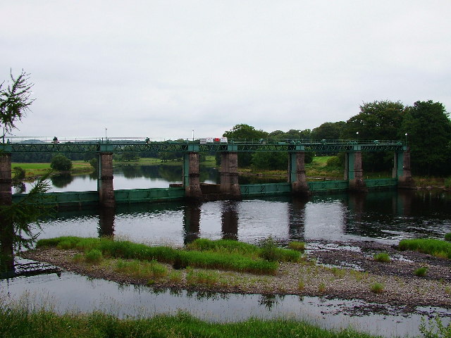
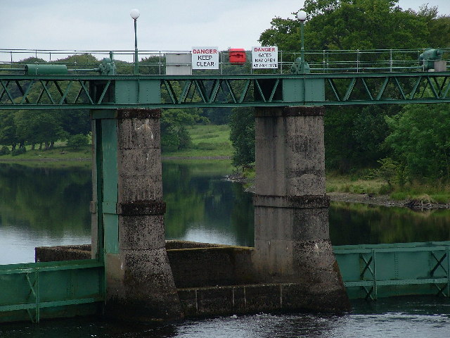
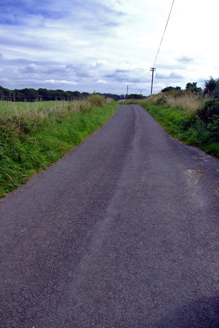
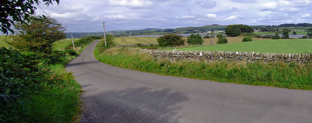
Outdoor enthusiasts will find plenty of opportunities for exploration and recreation in Glenlochar and its surrounding areas. The village is located near Loch Ken, a popular spot for water sports such as sailing and fishing. Additionally, the nearby Galloway Forest Park offers extensive walking and cycling trails, as well as opportunities for wildlife spotting and stargazing.

Glenlochar is well-connected to the larger towns in the area, with good road links to Castle Douglas and Dumfries. This allows residents to access a wider range of amenities, including shops, supermarkets, and healthcare facilities.

Overall, Glenlochar is a charming village that offers a peaceful and idyllic lifestyle, surrounded by the stunning natural landscapes of Kirkcudbrightshire.

If you have any feedback on the listing, please let us know in the comments section below.
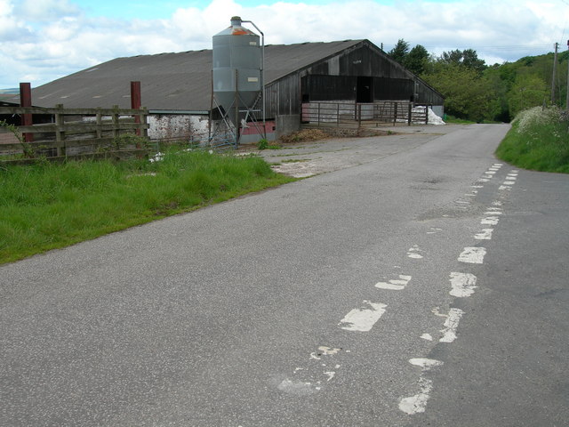
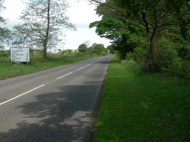
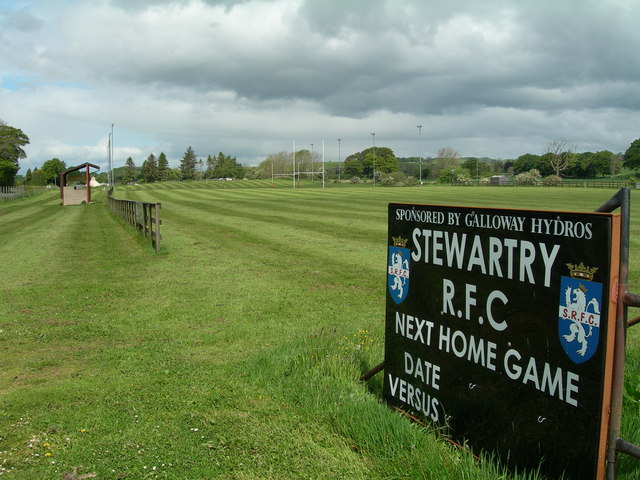
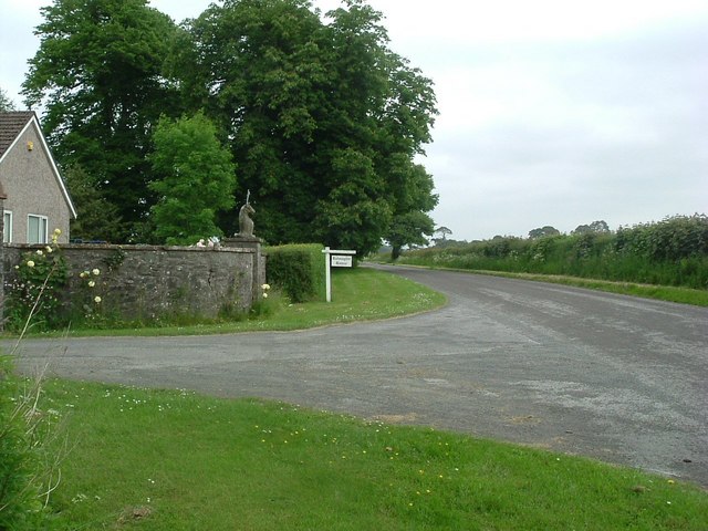
Glenlochar Images

Images are sourced within 2km of 54.958954/-3.983144 or Grid Reference NX7364. Thanks to Geograph Open Source API. All images are credited.

Glenlochar Barrage At the bottom of Loch Ken, the barrage controls the volume of water feeding into Tongland Loch further downstream, the daily storage for Tongland Power Station, the last in the chain of the Galloway Hydros.  The barrage is operated remotely from the control centre at Glenlee Power Station.
Glenlochar Barrage
At the bottom of Loch Ken, the barrage controls the volume of water feeding into Tongland Loch further downstream, the daily storage for Tongland Power Station, the last in the chain of the Galloway Hydros. The barrage is operated remotely from the control centre at Glenlee Power Station.
Glenlochar Barrage
Glenlochar Barrage
Hill Fort near Crossmichael called Crofts Mote on the OS 1:25000, near Croft farm
Hill Fort near Crossmichael
called Crofts Mote on the OS 1:25000, near Croft farm
View From Balmaghie Churchyard Looking south-east across the River Dee on a crisp January morning.
View From Balmaghie Churchyard
Looking south-east across the River Dee on a crisp January morning.
Creochs Farm
Creochs Farm
Tree lined road east of Glenlochar
Braefoot
Braefoot
Entrance to Balmaghie House House itself in NX7163
Entrance to Balmaghie House
House itself in NX7163
Gatehouse and entrance to Balmaghie House & grounds Photo taken from minor road between Glenlochar and east of Bridge of Dee
Gatehouse and entrance to Balmaghie House & grounds
Photo taken from minor road between Glenlochar and east of Bridge of Dee
Farm buildings and junction at Crofts
A713 North West of Townhead of Greenlaw
Stewartry Rugby Club Fairly new ground and clubhouse which doesn't yet appear on map.
Stewartry Rugby Club
Fairly new ground and clubhouse which doesn't yet appear on map.
Entrance to Balmaghie house
View towards Creochs
Country Road Approx 0.4 miles north of Campdouglass Farm entrance
Country Road
Approx 0.4 miles north of Campdouglass Farm entrance
Country Road Looking North towards Loch Ken in the far distance, location 0.83 miles 
north of Glenlochar Village heading towards Shankfoot.
Country Road
Looking North towards Loch Ken in the far distance, location 0.83 miles north of Glenlochar Village heading towards Shankfoot.
Campdouglas Farm Farm access Road, from minor road.
Campdouglas Farm
Farm access Road, from minor road.
Braefoot House Braefoot Forest to the right of the picture
Braefoot House
Braefoot Forest to the right of the picture
Show me another place!

Glenlochar is located at Grid Ref: NX7364 (Lat: 54.958954, Lng: -3.983144)

Unitary Authority: Dumfries and Galloway

Police Authority: Dumfries and Galloway

What 3 Words

///fingertip.goat.inherit. Near Castle Douglas, Dumfries & Galloway

Nearby Locations

Glenlochar Abbey Yard

Related Wikis

Glenlochar

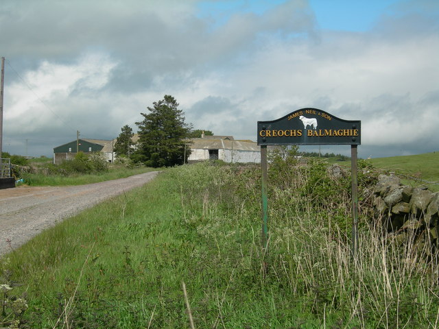
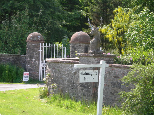
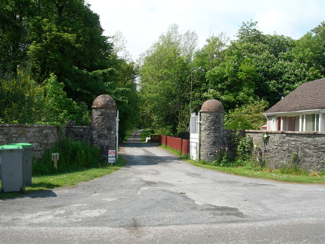
Glenlochar (Gd: Gleann Lochair) is a hamlet on the western bank of the River Dee in the parish of Balmaghie in the historical county of Kirkcudbrightshire...

Abbey Yard

Abbey Yard is a location in Dumfries and Galloway, Scotland. Abbey Yard is near Glenlochar in the historical county of Kirkcudbrightshire in the Dumfries...

Balmaghie

Balmaghie ( bal-mə-GEE), from the Scottish Gaelic Baile Mhic Aoidh, is an ecclesiastical and civil parish in the historical county of Kirkcudbrightshire...

Crossmichael

Crossmichael (Scottish Gaelic: Crois Mhìcheil) is a small village on the east side of Loch Ken in the historical county of Kirkcudbrightshire, about 4...

Nearby Amenities

Located within 500m of 54.958954,-3.983144
Village
Naptan AtcoCode: 680001012333
Naptan Bearing: SW
Naptan BusStopType: CUS
Naptan CommonName: Village
Naptan Indicator: opp School
Naptan Landmark: C50
Naptan NaptanCode: 34235834
Naptan Notes: none
Naptan Street: B795
Naptan Verified: no
Source: naptan_import
Lat/Long: 54.9588062/-3.983202
Village
Naptan AtcoCode: 680001012444
Naptan Bearing: NE
Naptan BusStopType: CUS
Naptan CommonName: Village
Naptan Indicator: School
Naptan Landmark: C7
Naptan NaptanCode: 34235832
Naptan Notes: none
Naptan Street: B795
Naptan Verified: no
Source: naptan_import
Lat/Long: 54.9588108/-3.9834678
Roman Fort
Historic: archaeological_site
Website: http://canmore.org.uk/site/64687/glenlochar
Lat/Long: 54.9593498/-3.9768342
Glenlochar
Name En: Glenlochar
Name Gd: Gleann Lochair
Place: hamlet
Wikidata: Q5568585
Wikipedia: en:Glenlochar
Lat/Long: 54.9599878/-3.9837349
Source: OS OpenData Vectormap District
Lat/Long: 54.9555667/-3.9779881
Source: OS OpenData Vectormap District
Lat/Long: 54.9556889/-3.9779219
Source: OS OpenData Vectormap District
Lat/Long: 54.9557542/-3.9780327
Source: OS OpenData Vectormap District
Lat/Long: 54.9558222/-3.9780684
Source: OS OpenData Vectormap District
Lat/Long: 54.9558846/-3.9781211
Source: OS OpenData Vectormap District
Lat/Long: 54.955881/-3.9782329
Source: OS OpenData Vectormap District
Lat/Long: 54.9558856/-3.9782442
Source: OS OpenData Vectormap District
Lat/Long: 54.9558947/-3.9782342
Source: OS OpenData Vectormap District
Lat/Long: 54.9559192/-3.978225
Source: OS OpenData Vectormap District
Lat/Long: 54.9559534/-3.9782357
Source: OS OpenData Vectormap District
Lat/Long: 54.9561359/-3.9784136
Source: OS OpenData Vectormap District
Lat/Long: 54.9561633/-3.9784197
Source: OS OpenData Vectormap District
Lat/Long: 54.9563631/-3.9785507
Source: OS OpenData Vectormap District
Lat/Long: 54.9564474/-3.9785811
Source: OS OpenData Vectormap District
Lat/Long: 54.9565159/-3.9786461
Source: OS OpenData Vectormap District
Lat/Long: 54.9567428/-3.9787618
Source: OS OpenData Vectormap District
Lat/Long: 54.9568218/-3.9787806
Source: OS OpenData Vectormap District
Lat/Long: 54.9569888/-3.9788743
Source: OS OpenData Vectormap District
Lat/Long: 54.9570615/-3.9788942
Source: OS OpenData Vectormap District
Lat/Long: 54.9571527/-3.9789479
Source: OS OpenData Vectormap District
Lat/Long: 54.9571997/-3.9789605
Source: OS OpenData Vectormap District
Lat/Long: 54.9572604/-3.9790105
Source: OS OpenData Vectormap District
Lat/Long: 54.9573133/-3.9790769
Source: OS OpenData Vectormap District
Lat/Long: 54.9573777/-3.9791108
Source: OS OpenData Vectormap District
Lat/Long: 54.9574442/-3.9792021
Source: OS OpenData Vectormap District
Lat/Long: 54.9574591/-3.9792579
Source: OS OpenData Vectormap District
Lat/Long: 54.9574811/-3.9792877
Source: OS OpenData Vectormap District
Lat/Long: 54.9575022/-3.9792915
Source: OS OpenData Vectormap District
Lat/Long: 54.957526/-3.9792732
Source: OS OpenData Vectormap District
Lat/Long: 54.9575326/-3.9792465
Source: OS OpenData Vectormap District
Lat/Long: 54.9575209/-3.9792284
Source: OS OpenData Vectormap District
Lat/Long: 54.9575473/-3.9792339
Source: OS OpenData Vectormap District
Lat/Long: 54.9575567/-3.9792544
Source: OS OpenData Vectormap District
Lat/Long: 54.9575583/-3.9792855
Source: OS OpenData Vectormap District
Lat/Long: 54.9575242/-3.9793671
Source: OS OpenData Vectormap District
Lat/Long: 54.9575247/-3.9794432
Source: OS OpenData Vectormap District
Lat/Long: 54.9575944/-3.9795324
Source: OS OpenData Vectormap District
Lat/Long: 54.9576471/-3.9795554
Source: OS OpenData Vectormap District
Lat/Long: 54.9576485/-3.9796109
Source: OS OpenData Vectormap District
Lat/Long: 54.9577002/-3.9796299
Source: OS OpenData Vectormap District
Lat/Long: 54.9577274/-3.9796948
Source: OS OpenData Vectormap District
Lat/Long: 54.9577618/-3.9797226
Source: OS OpenData Vectormap District
Lat/Long: 54.9578108/-3.9797173
Source: OS OpenData Vectormap District
Lat/Long: 54.9578861/-3.979758
Source: OS OpenData Vectormap District
Lat/Long: 54.9579125/-3.9797434
Source: OS OpenData Vectormap District
Lat/Long: 54.9579178/-3.9797219
Source: OS OpenData Vectormap District
Lat/Long: 54.9579121/-3.979674
Source: OS OpenData Vectormap District
Lat/Long: 54.957916/-3.9796445
Source: OS OpenData Vectormap District
Lat/Long: 54.9578936/-3.9796039
Source: OS OpenData Vectormap District
Lat/Long: 54.9578575/-3.979595
Source: OS OpenData Vectormap District
Lat/Long: 54.9578082/-3.9795376
Source: OS OpenData Vectormap District
Lat/Long: 54.9577513/-3.9795057
Source: OS OpenData Vectormap District
Lat/Long: 54.957703/-3.9795377
Source: OS OpenData Vectormap District
Lat/Long: 54.9577014/-3.9794188
Source: OS OpenData Vectormap District
Lat/Long: 54.957689/-3.9792781
Source: OS OpenData Vectormap District
Lat/Long: 54.9576935/-3.9792536
Source: OS OpenData Vectormap District
Lat/Long: 54.9577083/-3.9792342
Source: OS OpenData Vectormap District
Lat/Long: 54.9577409/-3.979238
Source: OS OpenData Vectormap District
Lat/Long: 54.957766/-3.9792948
Source: OS OpenData Vectormap District
Lat/Long: 54.9577687/-3.9793482
Source: OS OpenData Vectormap District
Lat/Long: 54.9578187/-3.9794031
Source: OS OpenData Vectormap District
Lat/Long: 54.9578509/-3.9794884
Source: OS OpenData Vectormap District
Lat/Long: 54.9579086/-3.9795595
Source: OS OpenData Vectormap District
Lat/Long: 54.9579526/-3.9796402
Source: OS OpenData Vectormap District
Lat/Long: 54.9579725/-3.9796534
Source: OS OpenData Vectormap District
Lat/Long: 54.9582933/-3.9800554
Source: OS OpenData Vectormap District
Lat/Long: 54.9583243/-3.9801422
Source: OS OpenData Vectormap District
Lat/Long: 54.9583951/-3.9801615
Source: OS OpenData Vectormap District
Lat/Long: 54.9584342/-3.9801936
Source: OS OpenData Vectormap District
Lat/Long: 54.958526/-3.9803593
Source: OS OpenData Vectormap District
Lat/Long: 54.958635/-3.9804947
Source: OS OpenData Vectormap District
Lat/Long: 54.9586519/-3.9805274
Source: OS OpenData Vectormap District
Lat/Long: 54.9586382/-3.9805677
Source: OS OpenData Vectormap District
Lat/Long: 54.9585434/-3.9804588
Source: OS OpenData Vectormap District
Lat/Long: 54.9585187/-3.9804117
Source: OS OpenData Vectormap District
Lat/Long: 54.9584942/-3.9803319
Source: OS OpenData Vectormap District
Lat/Long: 54.9584586/-3.9802985
Source: OS OpenData Vectormap District
Lat/Long: 54.9584524/-3.9803905
Source: OS OpenData Vectormap District
Lat/Long: 54.9584383/-3.9804026
Source: OS OpenData Vectormap District
Lat/Long: 54.9584447/-3.9804665
Source: OS OpenData Vectormap District
Lat/Long: 54.9584632/-3.9804916
Source: OS OpenData Vectormap District
Lat/Long: 54.958485/-3.9804884
Source: OS OpenData Vectormap District
Lat/Long: 54.9584918/-3.9805245
Source: OS OpenData Vectormap District
Lat/Long: 54.9585475/-3.9806291
Source: OS OpenData Vectormap District
Lat/Long: 54.9585873/-3.980652
Source: OS OpenData Vectormap District
Lat/Long: 54.9585901/-3.9806801
Source: OS OpenData Vectormap District
Lat/Long: 54.9586142/-3.9806969
Source: OS OpenData Vectormap District
Lat/Long: 54.9586238/-3.9807289
Source: OS OpenData Vectormap District
Lat/Long: 54.9586122/-3.9807312
Source: OS OpenData Vectormap District
Lat/Long: 54.9586091/-3.9807482
Source: OS OpenData Vectormap District
Lat/Long: 54.9586269/-3.9808028
Source: OS OpenData Vectormap District
Lat/Long: 54.9587018/-3.9808582
Source: OS OpenData Vectormap District
Lat/Long: 54.958712/-3.9808865
Source: OS OpenData Vectormap District
Lat/Long: 54.9587571/-3.9809426
Source: OS OpenData Vectormap District
Lat/Long: 54.958792/-3.9809791
Source: OS OpenData Vectormap District
Lat/Long: 54.9588212/-3.9809909
Source: OS OpenData Vectormap District
Lat/Long: 54.9588262/-3.9810222
Source: OS OpenData Vectormap District
Lat/Long: 54.9588561/-3.9810274
Source: OS OpenData Vectormap District
Lat/Long: 54.9588921/-3.9811073
Source: OS OpenData Vectormap District
Lat/Long: 54.9589289/-3.9811191
Source: OS OpenData Vectormap District
Lat/Long: 54.9589456/-3.9811487
Source: OS OpenData Vectormap District
Lat/Long: 54.9589927/-3.9811447
Source: OS OpenData Vectormap District
Lat/Long: 54.959024/-3.9811717
Source: OS OpenData Vectormap District
Lat/Long: 54.9589818/-3.9822704
Source: OS OpenData Vectormap District
Lat/Long: 54.9589172/-3.9822672
Source: OS OpenData Vectormap District
Lat/Long: 54.9588834/-3.9822421
Source: OS OpenData Vectormap District
Lat/Long: 54.9588574/-3.9822424
Source: OS OpenData Vectormap District
Lat/Long: 54.9588355/-3.9822085
Source: OS OpenData Vectormap District
Lat/Long: 54.9587981/-3.9821848
Source: OS OpenData Vectormap District
Lat/Long: 54.9587732/-3.9821148
Source: OS OpenData Vectormap District
Lat/Long: 54.9587437/-3.9821571
Source: OS OpenData Vectormap District
Lat/Long: 54.9586855/-3.9821449
Source: OS OpenData Vectormap District
Lat/Long: 54.9586427/-3.9821209
Source: OS OpenData Vectormap District
Lat/Long: 54.9586183/-3.9820244
Source: OS OpenData Vectormap District
Lat/Long: 54.9585735/-3.982016
Source: OS OpenData Vectormap District
Lat/Long: 54.9585404/-3.9819456
Source: OS OpenData Vectormap District
Lat/Long: 54.9585301/-3.9818608
Source: OS OpenData Vectormap District
Lat/Long: 54.9584833/-3.98181
Source: OS OpenData Vectormap District
Lat/Long: 54.9584778/-3.9817614
Source: OS OpenData Vectormap District
Lat/Long: 54.9584866/-3.9817181
Source: OS OpenData Vectormap District
Lat/Long: 54.9584776/-3.9816629
Source: OS OpenData Vectormap District
Lat/Long: 54.9584669/-3.9816577
Source: OS OpenData Vectormap District
Lat/Long: 54.9584469/-3.9816724
Source: OS OpenData Vectormap District
Lat/Long: 54.9584533/-3.9817211
Source: OS OpenData Vectormap District
Lat/Long: 54.9584225/-3.9817383
Source: OS OpenData Vectormap District
Lat/Long: 54.9584026/-3.9817983
Source: OS OpenData Vectormap District
Lat/Long: 54.9583882/-3.9818038
Source: OS OpenData Vectormap District
Lat/Long: 54.9583752/-3.9817735
Source: OS OpenData Vectormap District
Lat/Long: 54.9583707/-3.981717
Source: OS OpenData Vectormap District
Lat/Long: 54.9583934/-3.9815354
Source: OS OpenData Vectormap District
Lat/Long: 54.958327/-3.9816399
Source: OS OpenData Vectormap District
Lat/Long: 54.9583065/-3.981628
Source: OS OpenData Vectormap District
Lat/Long: 54.9583022/-3.9815873
Source: OS OpenData Vectormap District
Lat/Long: 54.9583039/-3.9815716
Source: OS OpenData Vectormap District
Lat/Long: 54.9582893/-3.9815287
Source: OS OpenData Vectormap District
Lat/Long: 54.9583061/-3.9814374
Source: OS OpenData Vectormap District
Lat/Long: 54.958321/-3.9814007
Source: OS OpenData Vectormap District
Lat/Long: 54.9583151/-3.9813785
Source: OS OpenData Vectormap District
Lat/Long: 54.9582526/-3.9813536
Source: OS OpenData Vectormap District
Lat/Long: 54.9582243/-3.9812694
Source: OS OpenData Vectormap District
Lat/Long: 54.958204/-3.981245
Source: OS OpenData Vectormap District
Lat/Long: 54.9581344/-3.9812743
Source: OS OpenData Vectormap District
Lat/Long: 54.9580834/-3.9812546
Source: OS OpenData Vectormap District
Lat/Long: 54.958079/-3.9811887
Source: OS OpenData Vectormap District
Lat/Long: 54.9580649/-3.9811311
Source: OS OpenData Vectormap District
Lat/Long: 54.9579863/-3.9809928
Source: OS OpenData Vectormap District
Lat/Long: 54.9578709/-3.9808415
Source: OS OpenData Vectormap District
Lat/Long: 54.9577072/-3.9806737
Source: OS OpenData Vectormap District
Lat/Long: 54.9576708/-3.9805968
Source: OS OpenData Vectormap District
Lat/Long: 54.957641/-3.980595
Source: OS OpenData Vectormap District
Lat/Long: 54.9575962/-3.9805411
Source: OS OpenData Vectormap District
Lat/Long: 54.9575967/-3.9805104
Source: OS OpenData Vectormap District
Lat/Long: 54.9575866/-3.9804843
Source: OS OpenData Vectormap District
Lat/Long: 54.9575444/-3.9804439
Source: OS OpenData Vectormap District
Lat/Long: 54.9575199/-3.9804455
Source: OS OpenData Vectormap District
Lat/Long: 54.9574469/-3.9803657
Source: OS OpenData Vectormap District
Lat/Long: 54.9573931/-3.9803343
Source: OS OpenData Vectormap District
Lat/Long: 54.9573901/-3.980285
Source: OS OpenData Vectormap District
Lat/Long: 54.9573719/-3.9802635
Source: OS OpenData Vectormap District
Lat/Long: 54.9573648/-3.9802211
Source: OS OpenData Vectormap District
Lat/Long: 54.9573384/-3.9801864
Source: OS OpenData Vectormap District
Lat/Long: 54.957319/-3.9802446
Source: OS OpenData Vectormap District
Lat/Long: 54.9572888/-3.9802225
Source: OS OpenData Vectormap District
Lat/Long: 54.9571899/-3.9801316
Source: OS OpenData Vectormap District
Lat/Long: 54.9571514/-3.9800626
Source: OS OpenData Vectormap District
Lat/Long: 54.9571197/-3.9800644
Source: OS OpenData Vectormap District
Lat/Long: 54.9571131/-3.9800232
Source: OS OpenData Vectormap District
Lat/Long: 54.9570901/-3.9799986
Source: OS OpenData Vectormap District
Lat/Long: 54.9570335/-3.9799559
Source: OS OpenData Vectormap District
Lat/Long: 54.9570077/-3.9799498
Source: OS OpenData Vectormap District
Lat/Long: 54.9569811/-3.9799205
Source: OS OpenData Vectormap District
Lat/Long: 54.9568832/-3.9799157
Source: OS OpenData Vectormap District
Lat/Long: 54.9568282/-3.9798716
Source: OS OpenData Vectormap District
Lat/Long: 54.956779/-3.9798654
Source: OS OpenData Vectormap District
Lat/Long: 54.9567798/-3.9798377
Source: OS OpenData Vectormap District
Lat/Long: 54.9567663/-3.9798192
Source: OS OpenData Vectormap District
Lat/Long: 54.9565666/-3.9797705
Source: OS OpenData Vectormap District
Lat/Long: 54.9563229/-3.9795498
Source: OS OpenData Vectormap District
Lat/Long: 54.9561093/-3.9793385
Source: OS OpenData Vectormap District
Lat/Long: 54.9560493/-3.9793277
Source: OS OpenData Vectormap District
Lat/Long: 54.9559525/-3.9792632
Source: OS OpenData Vectormap District
Lat/Long: 54.9558914/-3.9791761
Source: OS OpenData Vectormap District
Lat/Long: 54.9558507/-3.9791413
Source: OS OpenData Vectormap District
Lat/Long: 54.955848/-3.9790939
Source: OS OpenData Vectormap District
Lat/Long: 54.955841/-3.9790793
Source: OS OpenData Vectormap District
Lat/Long: 54.9557985/-3.9790833
Source: OS OpenData Vectormap District
Lat/Long: 54.9557934/-3.9790476
Source: OS OpenData Vectormap District
Lat/Long: 54.9557655/-3.9790324
Source: OS OpenData Vectormap District
Lat/Long: 54.9556973/-3.9790445
Source: OS OpenData Vectormap District
Lat/Long: 54.9554781/-3.9788978
Source: OS OpenData Vectormap District
Lat/Long: 54.9554187/-3.9788738
Source: OS OpenData Vectormap District
Lat/Long: 54.9552454/-3.9788466
Power: pole
Lat/Long: 54.9629413/-3.9839867
Power: pole
Lat/Long: 54.9626315/-3.9854908
Power: pole
Lat/Long: 54.9622814/-3.9867528
Power: pole
Lat/Long: 54.9618649/-3.9879828
Power: pole
Lat/Long: 54.961427/-3.9892681
Power: pole
Lat/Long: 54.9608788/-3.988361
Power: pole
Lat/Long: 54.9603738/-3.9875728
Power: pole
Lat/Long: 54.960186/-3.9872201
Power: pole
Lat/Long: 54.9596725/-3.9863215
Power: pole
Lat/Long: 54.9590845/-3.9853166
Power: pole
Lat/Long: 54.9587369/-3.9847112
Power: pole
Lat/Long: 54.9582173/-3.9845773
Power: pole
Lat/Long: 54.9573683/-3.9843309
Power: pole
Lat/Long: 54.9565436/-3.9840951
Power: pole
Lat/Long: 54.9557214/-3.9838614
Power: pole
Lat/Long: 54.9549737/-3.9836489
Power: pole
Lat/Long: 54.9587052/-3.9847876
Power: pole
Lat/Long: 54.958771/-3.9846304
Power: pole
Lat/Long: 54.9596261/-3.9849703
Power: pole
Lat/Long: 54.9600018/-3.9842374
Power: pole
Lat/Long: 54.9550407/-3.9808893
Power: pole
Lat/Long: 54.9548248/-3.9815861
Power: pole
Lat/Long: 54.9545528/-3.9824614
Power: pole
Lat/Long: 54.9552969/-3.980031
Power: pole
Lat/Long: 54.9599908/-3.9782613
Power: pole
Lat/Long: 54.9602811/-3.9773775
Power: pole
Lat/Long: 54.9608373/-3.977488
Power: pole
Lat/Long: 54.961385/-3.9776282
The data included in this document is from www.openstreetmap.org. The data is made available under ODbL.

Have you been to Glenlochar?

Leave your review of Glenlochar below (or comments, questions and feedback).