Glen Village
Settlement in Stirlingshire
Scotland
Glen Village
Glen Village is a small settlement located in the region of Stirlingshire, central Scotland. Situated approximately 10 miles northwest of the historic city of Stirling, the village is nestled within the picturesque Glen Finglas, surrounded by stunning natural beauty and tranquility.
The village itself is comprised of a handful of residential properties, predominantly stone-built cottages, offering a quaint and traditional atmosphere. The residents of Glen Village enjoy a close-knit community, where neighbors often gather for village events and social activities. The area is known for its friendly and welcoming atmosphere, making it an ideal place for families and individuals seeking a peaceful and tight-knit community.
The village is surrounded by breathtaking landscapes, with rolling hills, lush forests, and a charming river that meanders through the glen. Glen Finglas is part of the larger Trossachs National Park, renowned for its outstanding natural beauty and abundant wildlife. Residents and visitors of Glen Village have the opportunity to explore the park through numerous walking trails, providing the perfect setting for outdoor enthusiasts and nature lovers.
While Glen Village may be small in size, it benefits from its proximity to nearby amenities. The city of Stirling offers a range of shopping centers, restaurants, and leisure facilities, ensuring residents have access to all necessary services. Additionally, the village is well-connected by road, with easy access to major transportation routes, making it convenient for commuting or exploring the wider region.
In conclusion, Glen Village is a charming and scenic settlement in Stirlingshire, surrounded by stunning natural landscapes. With its close-knit community and access to nearby amenities, this village provides an idyllic retreat for those seeking a peaceful and picturesque place to call home.
If you have any feedback on the listing, please let us know in the comments section below.
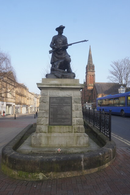
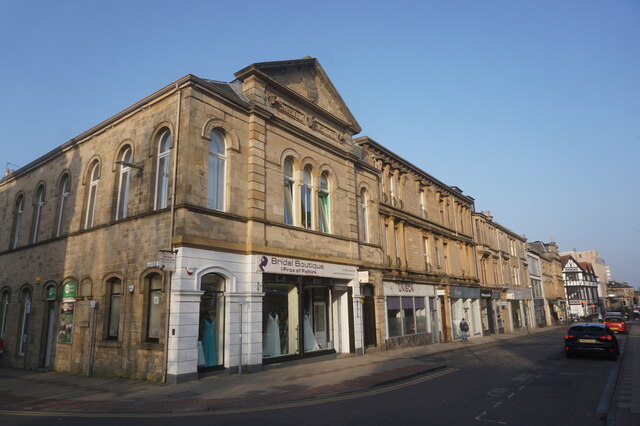
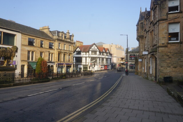
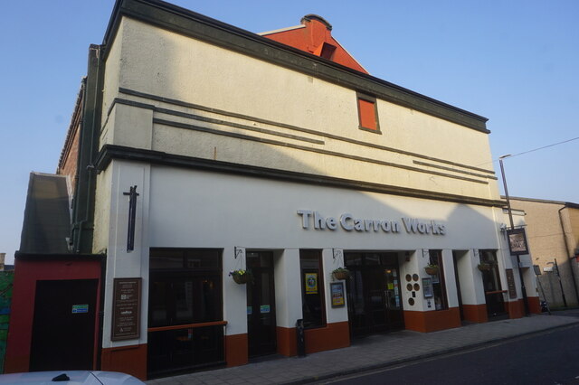
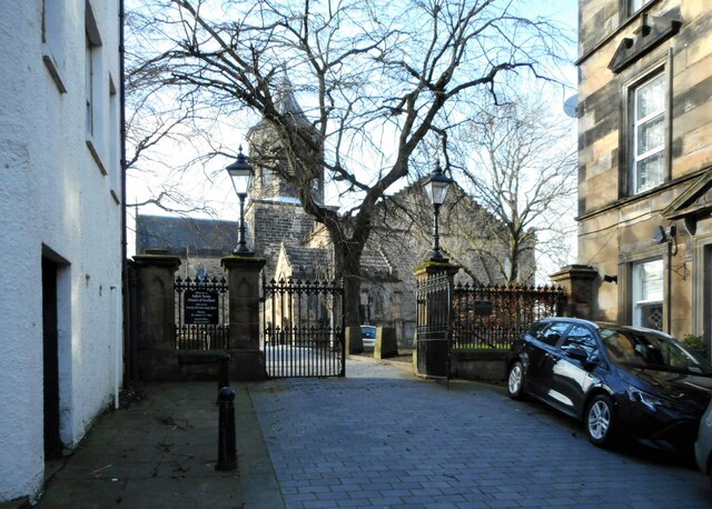
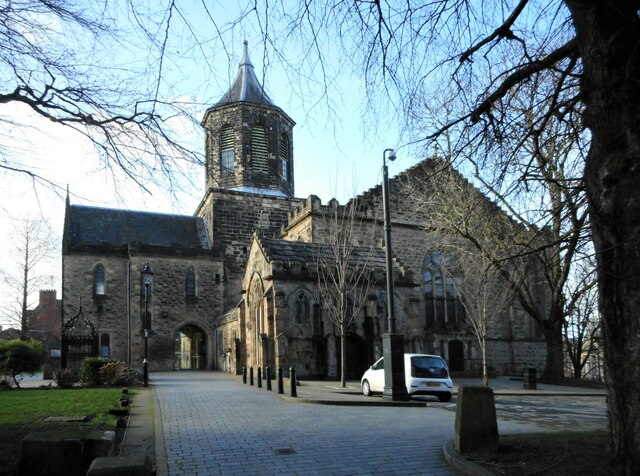
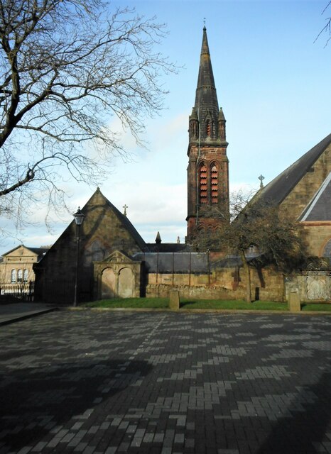
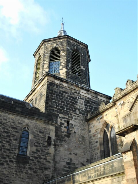
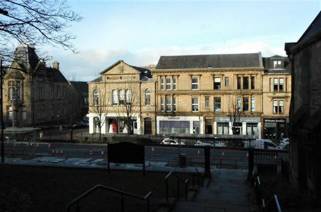
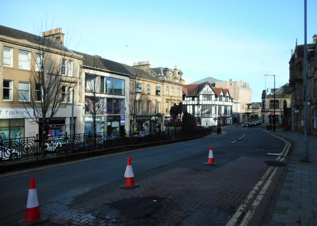
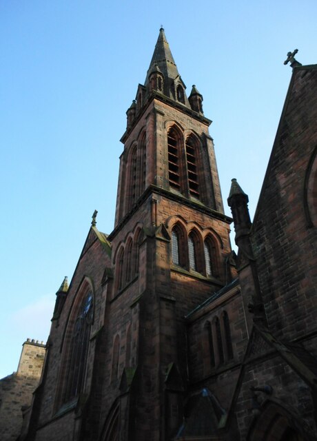
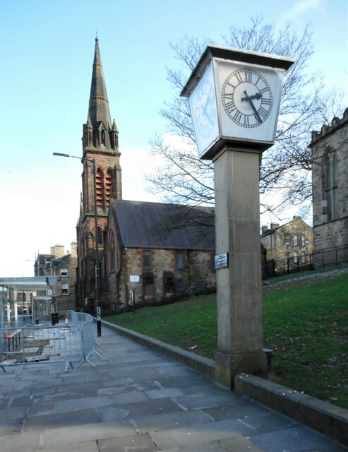
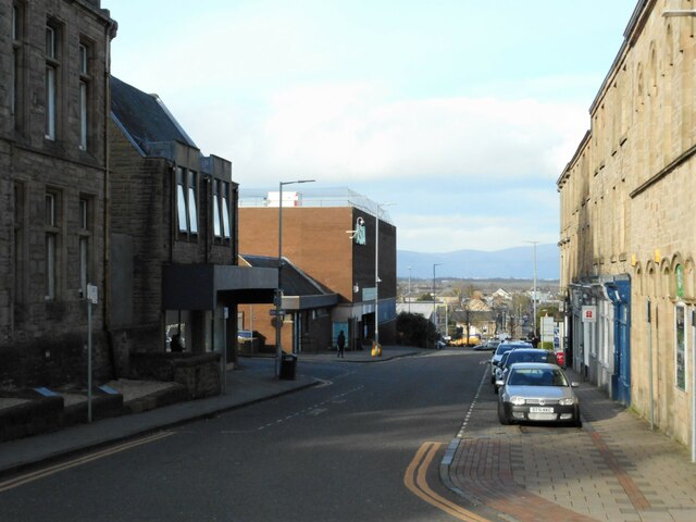
Glen Village Images
Images are sourced within 2km of 55.985317/-3.787433 or Grid Reference NS8878. Thanks to Geograph Open Source API. All images are credited.

Glen Village is located at Grid Ref: NS8878 (Lat: 55.985317, Lng: -3.787433)
Unitary Authority: Falkirk
Police Authority: Forth Valley
What 3 Words
///ruled.slip.chief. Near Hallglen, Falkirk
Nearby Locations
Related Wikis

Glen Village
Glen Village is a settlement in the Falkirk council area of Scotland, situated at the southern end of Callendar Park, and around 1 mile (1.6 km) south...
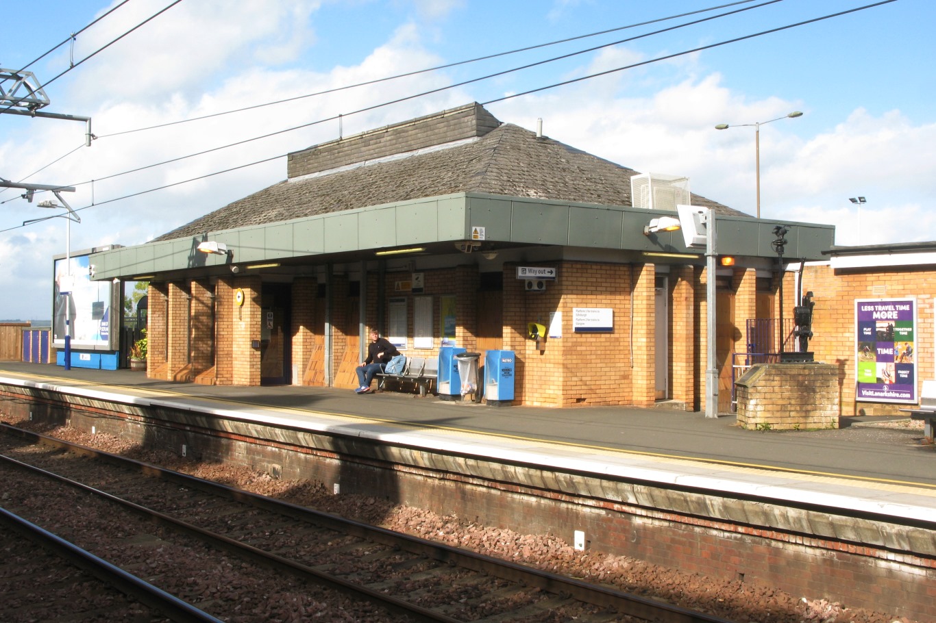
Falkirk High railway station
Falkirk High railway station is one of two railway stations serving the town of Falkirk in Scotland. It is on the Glasgow to Edinburgh via Falkirk Line...

Falkirk (council area)
Falkirk (; Scots: Fawkirk [ˈfɔːkɪrk]; Scottish Gaelic: An Eaglais Bhreac) is one of 32 unitary authority council areas of Scotland. It was formed on 1...

Woodlands, Falkirk
Woodlands is a large, prosperous central area (ward) of Falkirk, Stirlingshire, Scotland, which is mainly residential. Much of the ward is taken up by...

Falkirk Community Hospital
Falkirk Community Hospital is a community hospital in Falkirk, Scotland. It is managed by NHS Forth Valley. == History == The hospital has its origins...

Falkirk Steeple
The Falkirk Steeple is a landmark which dominates the skyline of Falkirk in central Scotland. The present structure on the High Street was built in 1814...

Falkirk bus station
Falkirk bus station is a disused bus station situated in Falkirk, Scotland. It is privately owned. == History == The station was built in the 1930s for...

Callendar House
Callendar House is a mansion set within the grounds of Callendar Park in Falkirk, central Scotland. During the 19th century, it was redesigned and extended...
Nearby Amenities
Located within 500m of 55.985317,-3.787433Have you been to Glen Village?
Leave your review of Glen Village below (or comments, questions and feedback).