Loch nam Faoileag

Lake, Pool, Pond, Freshwater Marsh in Buteshire

Scotland

Loch nam Faoileag

Garbh Allt - Isle of Arran Looking towards Beinn Nuis from the Garbh Allt.
Garbh Allt - Isle of Arran Credit: Raibeart MacAoidh

Loch nam Faoileag is a small freshwater lake located in the county of Buteshire, Scotland. It covers an area of approximately 2 hectares and has a maximum depth of 10 meters. The lake is surrounded by lush greenery and provides a serene and picturesque setting for visitors.

The name Loch nam Faoileag translates to "Lake of the Seagulls" in English, a fitting name as the lake is home to a variety of bird species, including seagulls, ducks, and swans. The surrounding marshland also provides a habitat for a diverse range of plant and animal species.

The lake is a popular spot for fishing, with anglers coming to try their luck at catching trout and perch. It is also a great location for birdwatching and nature enthusiasts, who can enjoy the peaceful surroundings and observe the wildlife that calls Loch nam Faoileag home.

Overall, Loch nam Faoileag is a hidden gem in Buteshire, offering a tranquil escape from the hustle and bustle of everyday life. Its natural beauty and abundant wildlife make it a must-visit destination for anyone looking to immerse themselves in the beauty of the Scottish countryside.

If you have any feedback on the listing, please let us know in the comments section below.

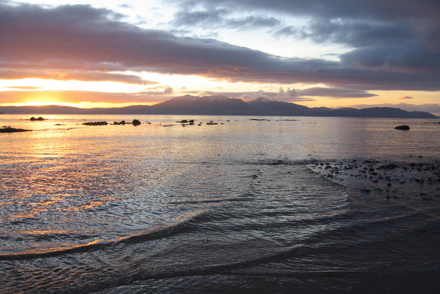
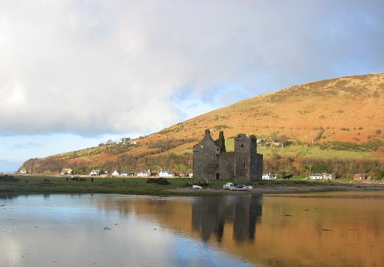
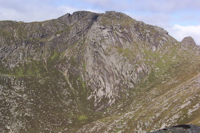
Loch nam Faoileag Images

Images are sourced within 2km of 55.591416/-5.2395581 or Grid Reference NR9537. Thanks to Geograph Open Source API. All images are credited.

Garbh Allt - Isle of Arran Looking towards Beinn Nuis from the Garbh Allt.
Garbh Allt - Isle of Arran
Looking towards Beinn Nuis from the Garbh Allt.
Garbh Allt - Isle of Arran The Garbh Allt
Garbh Allt - Isle of Arran
The Garbh Allt
SE Ridge of Beinn Nuis Looking towards Beinn Tarsuinn and A' Chir from the SE ridge of Beinn Nuis.
SE Ridge of Beinn Nuis
Looking towards Beinn Tarsuinn and A' Chir from the SE ridge of Beinn Nuis.
Cnoc Breac - Isle of Arran Looking towards Goatfell from Cnoc Breac.
Cnoc Breac - Isle of Arran
Looking towards Goatfell from Cnoc Breac.
South of Beinn a Chliabhain On the spur that extends to the south from the Beinn a'Chliabhain ridge. Looking across Coire a'Bhradain to Beinn Nuis (left), with the Flat Iron Tower on its right, and the south ridge of Beinn Tarsuinn.
South of Beinn a Chliabhain
On the spur that extends to the south from the Beinn a'Chliabhain ridge. Looking across Coire a'Bhradain to Beinn Nuis (left), with the Flat Iron Tower on its right, and the south ridge of Beinn Tarsuinn.
Moorland towards Beinn Tarsuinn
Summit of Cul Nan Creagan, Arran Looking North towards Goatfell (right), Cir Mhor (centre) and Ben Nuis (Left).
Summit of Cul Nan Creagan, Arran
Looking North towards Goatfell (right), Cir Mhor (centre) and Ben Nuis (Left).
New path by the Garbh Allt This part of Arran is owned by National Trust for Scotland.  They have done a lot of path making - mostly very badly needed in this very popular 'honey-pot' walking area where path erosion can be horrific.
New path by the Garbh Allt
This part of Arran is owned by National Trust for Scotland. They have done a lot of path making - mostly very badly needed in this very popular 'honey-pot' walking area where path erosion can be horrific.
Gully on the Garbh Allt
Looking down the SE ridge of Beinn Nuis
Looking into Coire nam Meann from the SE ridge of Beinn Nuis We had just got up into the cloud when this was taken, the cloud drifting up onto the ridge from the coire.
Looking into Coire nam Meann from the SE ridge of Beinn Nuis
We had just got up into the cloud when this was taken, the cloud drifting up onto the ridge from the coire.
Footpaths - new for old As mentioned in <a href="https://www.geograph.org.uk/photo/193276">NR9738 : New path by the Garbh Allt</a>, the NTS have done a lot of path building.  This shot shows the new path (to the summit of Beinn Nuis) on the left, beside the old, eroded one.
Footpaths - new for old
As mentioned in NR9738 : New path by the Garbh Allt, the NTS have done a lot of path building. This shot shows the new path (to the summit of Beinn Nuis) on the left, beside the old, eroded one.
Cnoc Breac
Cnoc Breac
Beinn Nuis Taken from near Ballymichael.
Beinn Nuis
Taken from near Ballymichael.
Beinn Nuis Taken from near String road.
Beinn Nuis
Taken from near String road.
Towards Beinn Tarsuinn
Towards the slopes of Beinn Nuis
Towards Coire Nuis
Towards Coire Nuis
Show me another place!

Loch nam Faoileag is located at Grid Ref: NR9537 (Lat: 55.591416, Lng: -5.2395581)

Unitary Authority: North Ayrshire

Police Authority: Ayrshire

What 3 Words

///letter.nylon.silver. Near Brodick, North Ayrshire

Related Wikis

Isle of Arran

The Isle of Arran (; Scottish Gaelic: Eilean Arainn) or simply Arran is an island off the west coast of Scotland. It is the largest island in the Firth...

Arran Coastal Way

The Arran Coastal Way is a 107 kilometre long-distance trail that goes around the coastline of Arran in Scotland. As the route is circular, following...

Glen Rosa

Glen Rosa (Scottish Gaelic: Gleann Ruasaidh) is a glen near Goat Fell on the Isle of Arran in the Firth of Clyde, western Scotland. Glen Rosa can be reached...

Beinn Tarsuinn (Corbett)

Beinn Tarsuinn is a mountain on the Isle of Arran, Scotland. It is the southernmost of the four Corbetts on the island, lying between Glen Rosa to the...

Have you been to Loch nam Faoileag?

Leave your review of Loch nam Faoileag below (or comments, questions and feedback).