Loch an Droighinn
Lake, Pool, Pond, Freshwater Marsh in Ross-shire
Scotland
Loch an Droighinn

Loch an Droighinn is a freshwater loch located in Ross-shire, Scotland. The loch is situated near the small village of Strathpeffer and is surrounded by lush greenery and rolling hills. It is a popular destination for fishing enthusiasts, as the loch is home to a variety of fish species including brown trout and perch.
The water in Loch an Droighinn is clear and clean, making it an ideal habitat for aquatic life. The loch is also home to a variety of bird species, making it a great spot for birdwatching. Visitors can often spot ducks, swans, and other waterfowl in the area.
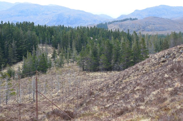
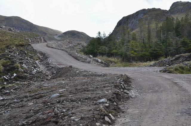
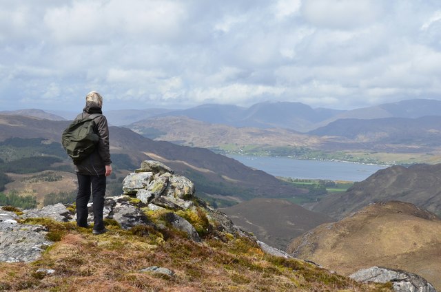
The surrounding area of Loch an Droighinn is rich in natural beauty, with plenty of walking trails and scenic viewpoints for visitors to enjoy. The loch is also a popular spot for picnicking and relaxing by the water's edge.
Overall, Loch an Droighinn is a peaceful and picturesque destination for nature lovers and outdoor enthusiasts looking to explore the beauty of the Scottish Highlands.
If you have any feedback on the listing, please let us know in the comments section below.
Loch an Droighinn Images
Images are sourced within 2km of 57.372126/-5.3963123 or Grid Reference NG9536. Thanks to Geograph Open Source API. All images are credited.


Loch an Droighinn is located at Grid Ref: NG9536 (Lat: 57.372126, Lng: -5.3963123)
Unitary Authority: Highland
Police Authority: Highlands and Islands
What 3 Words
///rates.saturate.brittle. Near Lochcarron, Highland
Nearby Locations
Related Wikis

Attadale, Scotland
Attadale (Gaelic: Attadal ) is a settlement and estate in Wester Ross, in the Highland council area of Scotland. It is on the southern shore of Loch Carron...
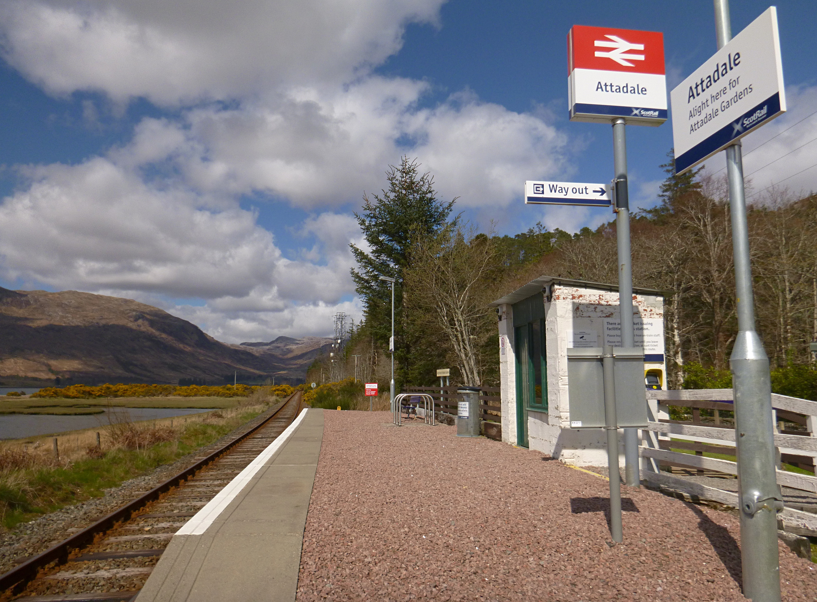
Attadale railway station
Attadale railway station is a remote railway station on the Kyle of Lochalsh Line, serving the village of Attadale on Loch Carron in the Highlands, northern...

Strathcarron railway station
Strathcarron railway station is a remote railway station on the Kyle of Lochalsh Line, serving the small village of Strathcarron and the larger village...

Strathcarron, Highland
Strathcarron (Scottish Gaelic: Srath Carrann) is a hamlet, in the Highland council area of Scotland. == Geography == It is situated at the head of the...
Nearby Amenities
Located within 500m of 57.372126,-5.3963123Have you been to Loch an Droighinn?
Leave your review of Loch an Droighinn below (or comments, questions and feedback).