Torrylinn Water
Lake, Pool, Pond, Freshwater Marsh in Buteshire
Scotland
Torrylinn Water
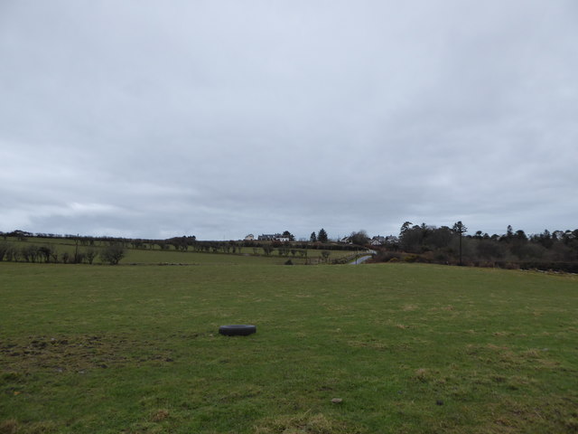
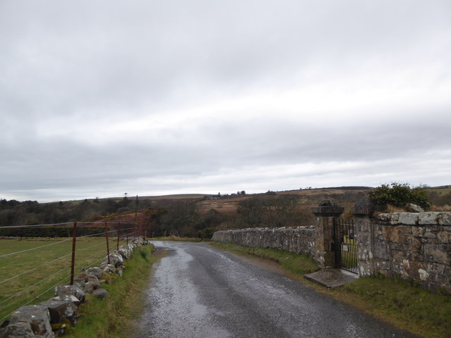
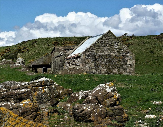
Torrylinn Water is a freshwater loch located in the rural area of Torrylinn in Buteshire, Scotland. It is nestled amidst picturesque surroundings, surrounded by rolling hills and lush greenery, making it a popular spot for nature enthusiasts and outdoor adventurers.
The loch spans approximately 30 acres, with a maximum depth of around 10 meters. It is formed by the accumulation of rainwater and runoff from the surrounding land, ensuring a constant supply of fresh water. The water in Torrylinn Water is crystal clear and generally remains calm, providing a serene and tranquil atmosphere.
The loch is home to a diverse range of flora and fauna. The surrounding marshes and wetlands create a perfect habitat for various species of waterfowl, including ducks, swans, and herons. The reed beds that fringe the water's edge provide nesting sites for birds, and the surrounding vegetation supports a variety of insect life.
Torrylinn Water is a popular spot for fishing enthusiasts, offering opportunities to catch a variety of freshwater fish such as trout and perch. Fishing permits are available locally, ensuring sustainable practices are followed.
The loch is also a haven for nature photographers and wildlife watchers. The peaceful surroundings and the abundance of wildlife make it an ideal location to observe and capture stunning images of birds, insects, and other creatures in their natural habitats.
Overall, Torrylinn Water is a scenic and ecologically important freshwater loch, offering a range of recreational activities and providing a valuable habitat for numerous species of flora and fauna.
If you have any feedback on the listing, please let us know in the comments section below.
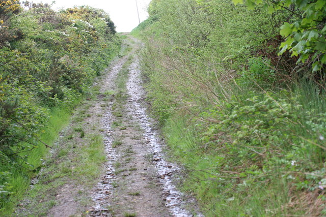
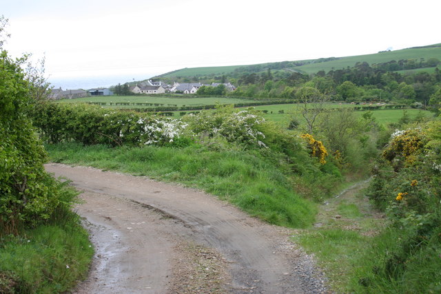
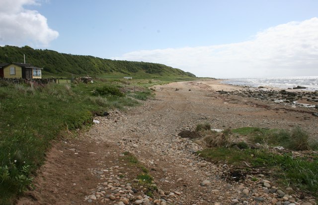
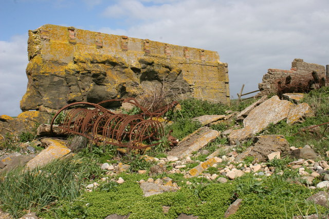
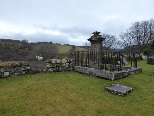
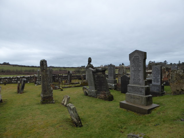
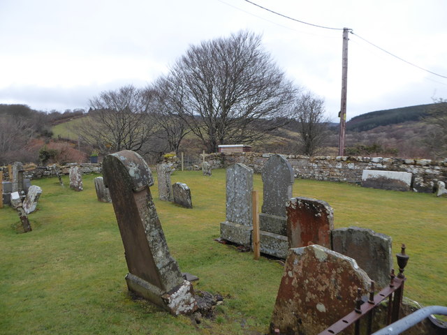
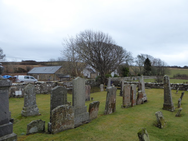
Torrylinn Water Images
Images are sourced within 2km of 55.442826/-5.2352536 or Grid Reference NR9521. Thanks to Geograph Open Source API. All images are credited.
Torrylinn Water is located at Grid Ref: NR9521 (Lat: 55.442826, Lng: -5.2352536)
Unitary Authority: North Ayrshire
Police Authority: Ayrshire
What 3 Words
///finally.bookshelf.pigtails. Near Kildonan, North Ayrshire
Nearby Locations
Related Wikis

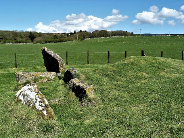
Torrylin Cairn
Torrylin Cairn is the remains of a Neolithic chambered tomb. It is located near Kilmory on the Isle of Arran in Scotland (grid reference NR95532108)....

Lagg, Arran
Lagg (Scottish Gaelic: An Lag) is a hamlet on southern coast of the Isle of Arran in Scotland made up of a few houses and a hotel. The hamlet is within...

Kilmory, Arran
Kilmory (Scottish Gaelic: Cill Mhoire) is a small village on the south coast of the Isle of Arran, located on the coastal road between Lagg and Kildonan...

Bennecarrigan Free Church
The Bennecarrigan Free Church is a place of worship of the Free Church of Scotland in Kilmory, on the island of Arran, Scotland. The church was built...

Sliddery
Sliddery (Gaelic: Slaodraidh) is a tiny hamlet located on the Southwest coast of the Isle of Arran in Scotland. The village is situated near the Ross road...

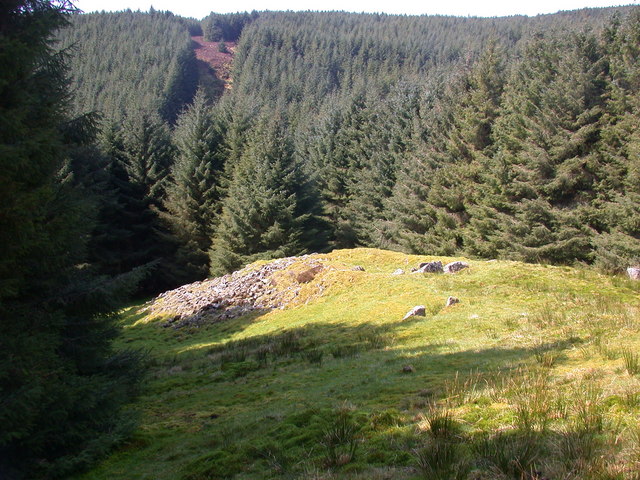
Torr a'Chaisteal
Torr a'Chaisteal (or Torr a'Chaisteil) is an Iron Age fort (dun), located about 1 mile (2 kilometres) northeast of the village of Sliddery, on the Isle...
Carn Ban, Arran
Carn Ban is a Neolithic chambered tomb located on the Isle of Arran in Scotland (grid reference NR99102618). == Description == Carn Ban is situated in...
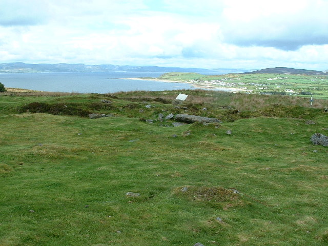
Kilpatrick Dun
Kilpatrick Dun is an Iron Age dun, located about 1 mile (2 kilometres) south of the village of Blackwaterfoot on the Isle of Arran in Scotland (grid reference...
Nearby Amenities
Located within 500m of 55.442826,-5.2352536Have you been to Torrylinn Water?
Leave your review of Torrylinn Water below (or comments, questions and feedback).