Dubh Loch
Lake, Pool, Pond, Freshwater Marsh in Argyllshire
Scotland
Dubh Loch
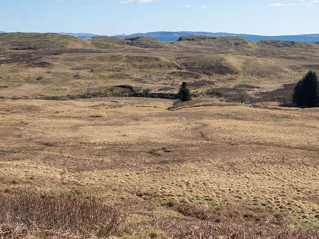
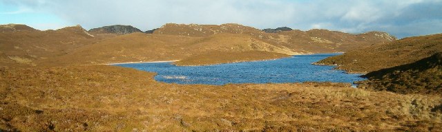
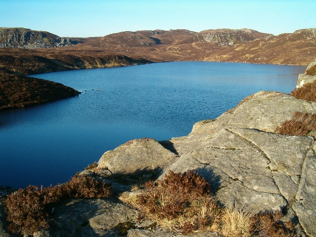
Dubh Loch, located in Argyllshire, Scotland, is a stunning freshwater lake nestled amidst the picturesque surroundings of the Scottish Highlands. Spanning an area of approximately 1.5 square miles, this tranquil waterbody is a popular destination for nature enthusiasts and outdoor adventurers alike.
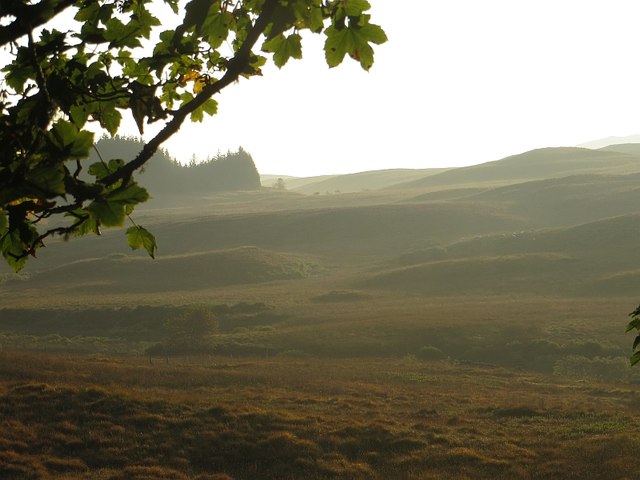
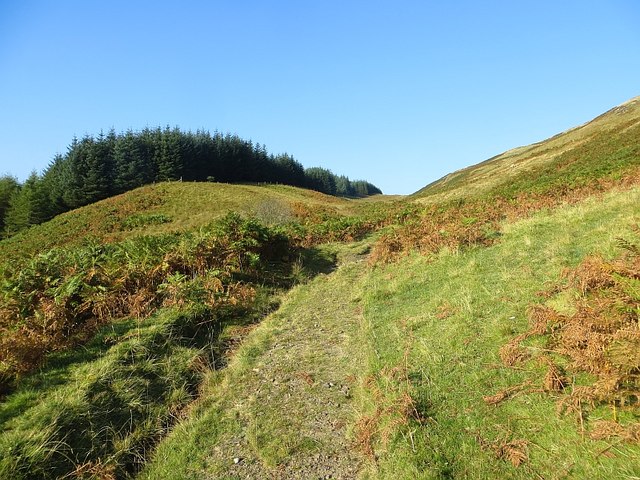
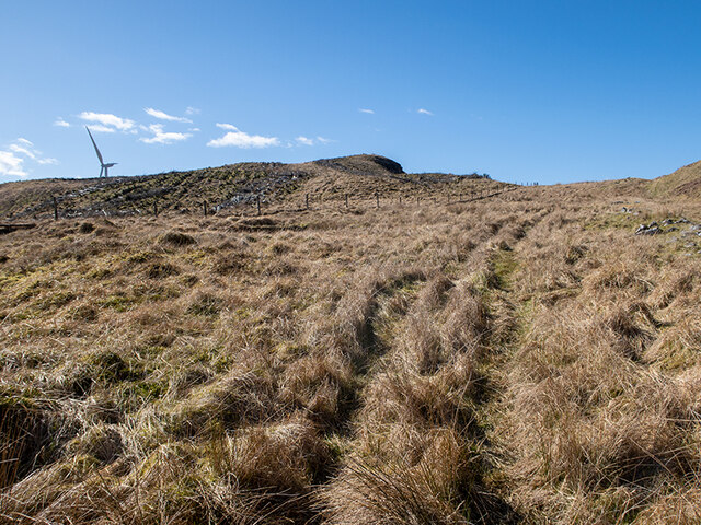
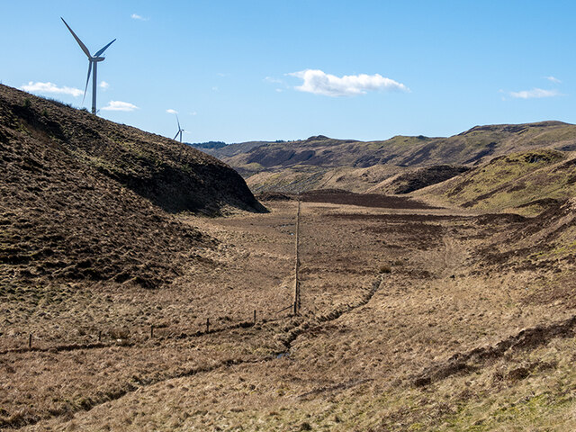
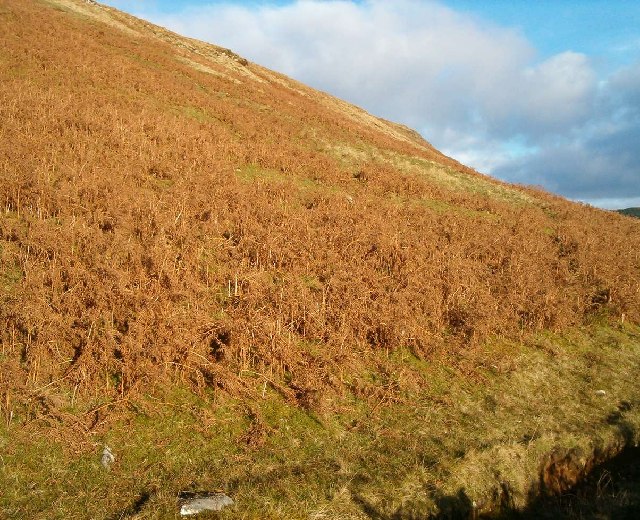
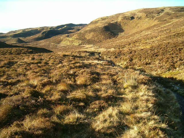
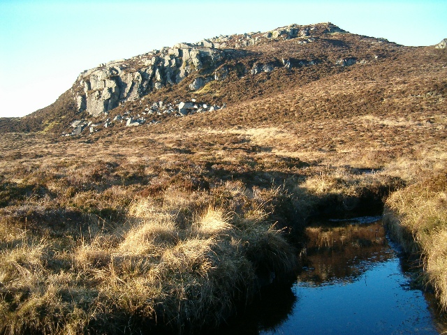
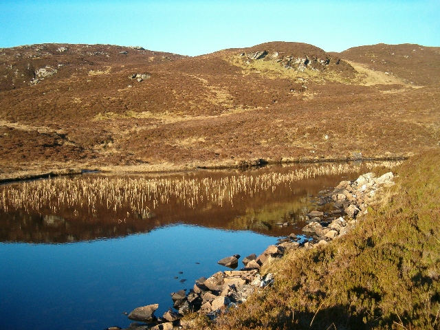
Dubh Loch, also known as the Black Lake, owes its name to the dark hues of its waters, which are caused by the peat deposits in the surrounding moorland. The lake is surrounded by rolling hills covered in heather, providing a breathtaking backdrop to its serene waters. Its remote location and untouched beauty make it a haven for wildlife, with a diverse range of flora and fauna flourishing in and around the lake.
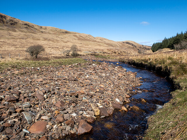
The pristine waters of Dubh Loch are home to various species of freshwater fish, including trout and salmon, making it a prime spot for fishing enthusiasts. The lake also attracts a plethora of bird species, making it a birdwatcher's paradise. Visitors may catch a glimpse of majestic golden eagles, ospreys, or the elusive red-throated diver.
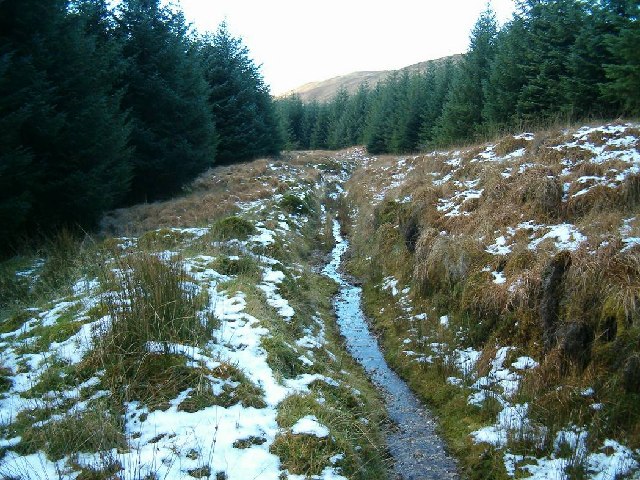
Surrounding the lake, a freshwater marsh teems with life, providing a habitat for a variety of water-loving plants and animals. The marsh is often adorned with colorful wildflowers during the summer months, creating a vibrant and picturesque scene.
Dubh Loch offers a range of recreational activities, including hiking, angling, and wildlife spotting. Its remote location ensures a peaceful and tranquil experience, allowing visitors to immerse themselves in the breathtaking natural beauty of the Scottish Highlands. Whether it be a leisurely stroll along the shoreline or a day of fishing, Dubh Loch is a must-visit destination for those seeking solace in nature.
If you have any feedback on the listing, please let us know in the comments section below.
Dubh Loch Images
Images are sourced within 2km of 56.152988/-5.3177413 or Grid Reference NM9400. Thanks to Geograph Open Source API. All images are credited.


Dubh Loch is located at Grid Ref: NM9400 (Lat: 56.152988, Lng: -5.3177413)
Unitary Authority: Argyll and Bute
Police Authority: Argyll and West Dunbartonshire
What 3 Words
///shuttered.earliest.lots. Near Lochgilphead, Argyll & Bute
Nearby Locations
Related Wikis

Feorlin
Feorlin is an impounding reservoir located 2 kilometres west of Minard. The loch is part of the Lochgair Hydroelectric Scheme. The rockfill dam is 4.19...

Crarae Reservoir
The Crarae Reservoir is located 2.5 kilometres north west of the village of Crarae, on the west side of Loch Fyne. The concrete dam is 13.7 metres high...

Blackmill Loch
Blackmill Loch is an impounding reservoir, in Argyll and Bute, Scotland. The loch was constructed in 1964 and is one source of freshwater for the Lochgair...

Crarae
Crarae is a settlement in Argyll and Bute, Scotland, on the shore of Loch Fyne. It lies on the A83, north of Lochgilphead. The location is known for the...
Have you been to Dubh Loch?
Leave your review of Dubh Loch below (or comments, questions and feedback).