Loch na Craoibhe Chaorainn
Lake, Pool, Pond, Freshwater Marsh in Argyllshire
Scotland
Loch na Craoibhe Chaorainn
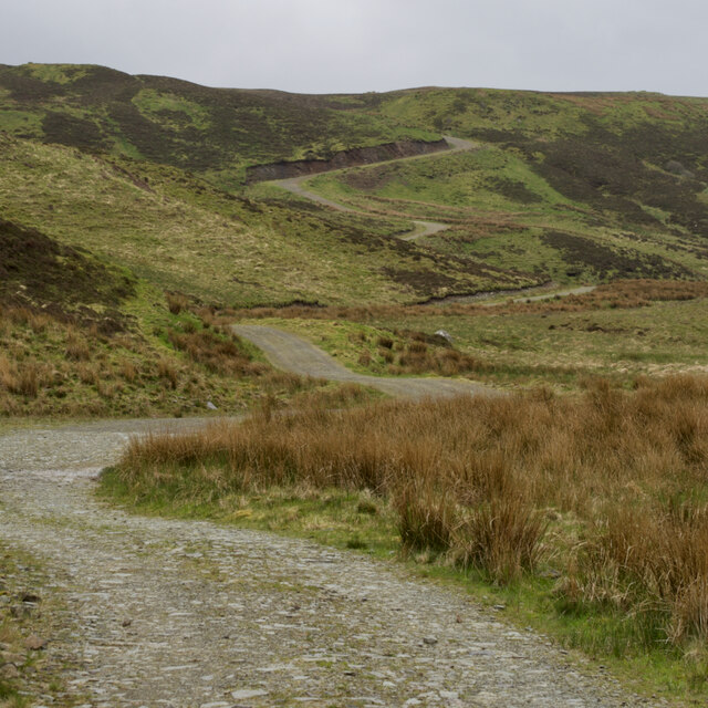
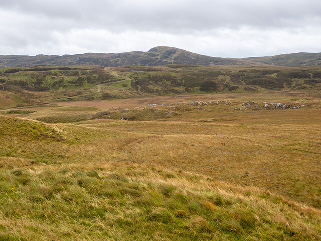
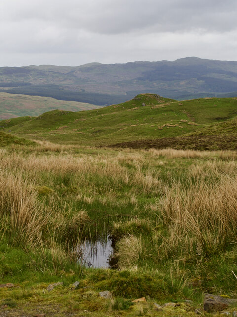
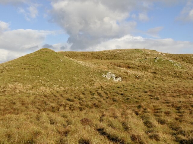
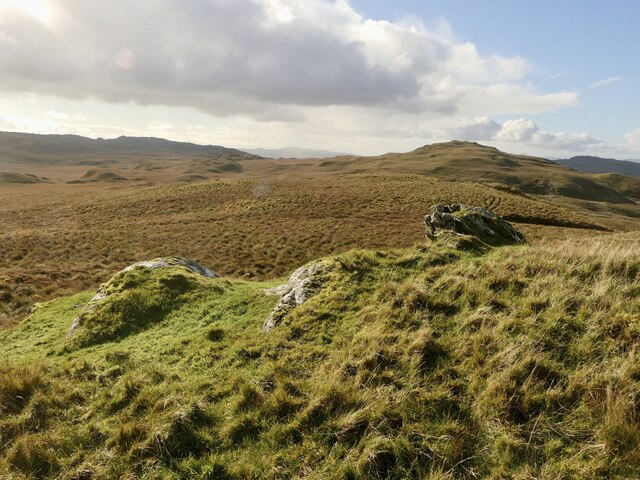
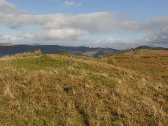
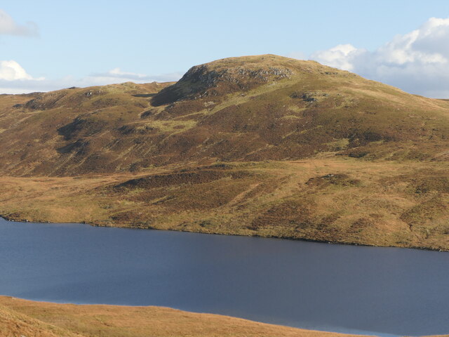
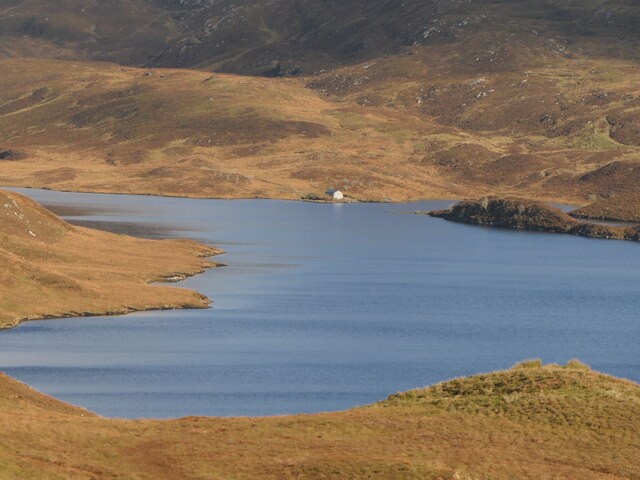
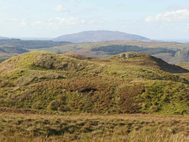
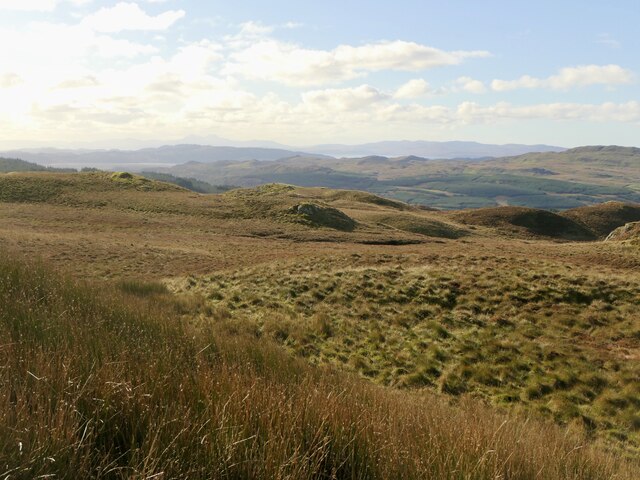
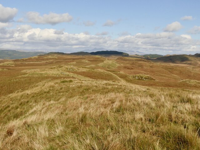
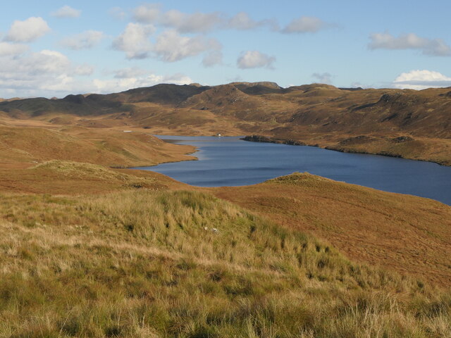
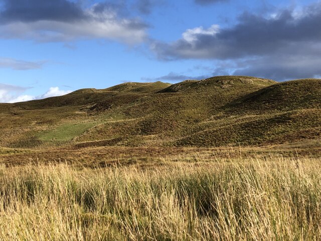
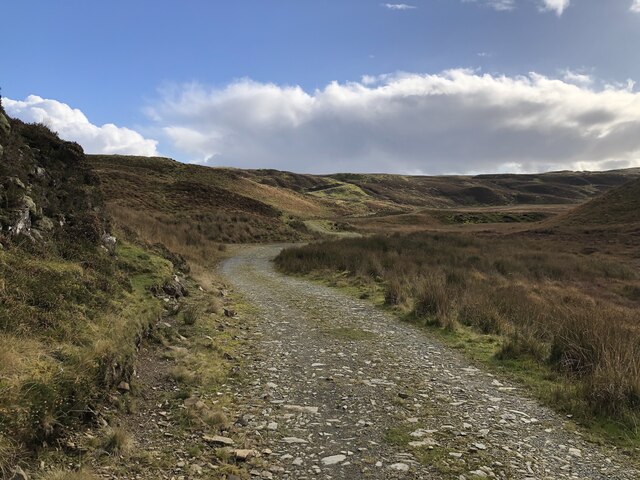
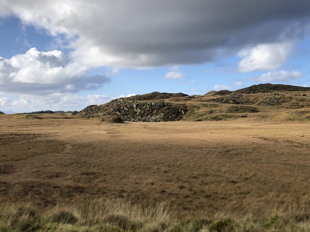
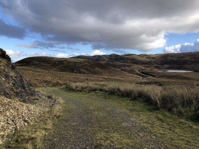
Loch na Craoibhe Chaorainn is a freshwater loch located in Argyllshire, Scotland. The loch is surrounded by rugged hills and dense forests, creating a picturesque and tranquil setting. The name Loch na Craoibhe Chaorainn translates to "lake of the rowan tree of the mountain ash" in Gaelic, referencing the abundance of rowan trees that grow along its shores.
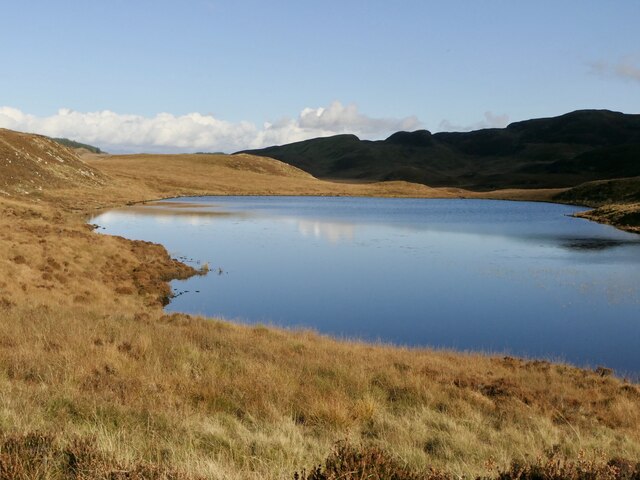
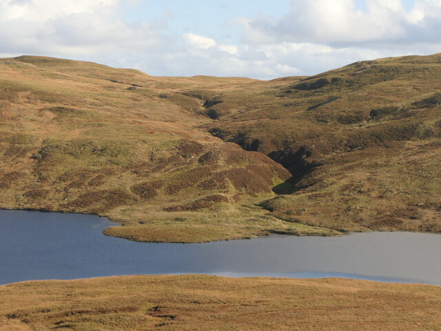
The loch is relatively small in size, with a surface area of approximately 10 hectares. It is fed by several small streams and has a maximum depth of around 10 meters. The water in Loch na Craoibhe Chaorainn is clear and pristine, supporting a variety of aquatic plants and wildlife.
The loch is a popular destination for fishing, with anglers coming to catch brown trout and perch. It is also a haven for birdwatchers, as the surrounding area is home to a diverse range of bird species, including ospreys, herons, and golden eagles.
Overall, Loch na Craoibhe Chaorainn is a hidden gem in the Scottish Highlands, offering visitors a chance to experience the natural beauty and tranquility of the region.
If you have any feedback on the listing, please let us know in the comments section below.
Loch na Craoibhe Chaorainn Images
Images are sourced within 2km of 56.162732/-5.3603593 or Grid Reference NM9101. Thanks to Geograph Open Source API. All images are credited.
Loch na Craoibhe Chaorainn is located at Grid Ref: NM9101 (Lat: 56.162732, Lng: -5.3603593)
Unitary Authority: Argyll and Bute
Police Authority: Argyll and West Dunbartonshire
What 3 Words
///backtrack.baseline.exposing. Near Lochgilphead, Argyll & Bute
Nearby Locations
Related Wikis
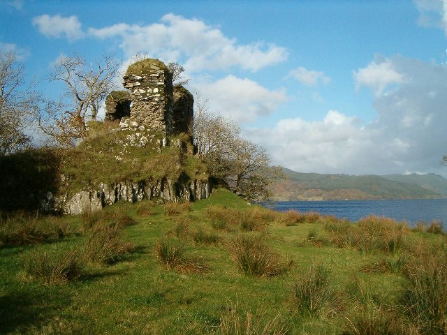
Fincharn Castle
Fincharn Castle, also known as Fionchairn Castle and Glassery Castle, is a ruined castle near Ford on the southwest shore of Loch Awe, Scotland. The castle...

Aray Bridge
Aray Bridge, also known as Inveraray Bridge, is a stone two-arch public road bridge on the Inveraray Castle estate near Inveraray in Argyll and Bute, Scotland...
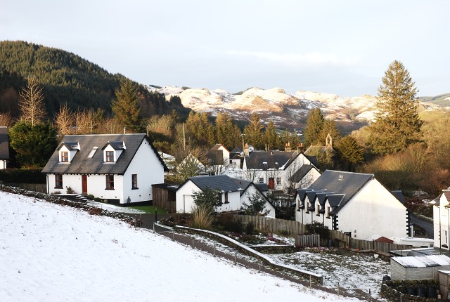
Ford, Argyll
Ford (Scottish Gaelic: Àth na Crà) is a small village at the southern end of Loch Awe in Argyll, Scotland. The village originated as a stopping point on...

Feorlin
Feorlin is an impounding reservoir located 2 kilometres west of Minard. The loch is part of the Lochgair Hydroelectric Scheme. The rockfill dam is 4.19...
Have you been to Loch na Craoibhe Chaorainn?
Leave your review of Loch na Craoibhe Chaorainn below (or comments, questions and feedback).