An Gorm-Loch
Lake, Pool, Pond, Freshwater Marsh in Ross-shire
Scotland
An Gorm-Loch

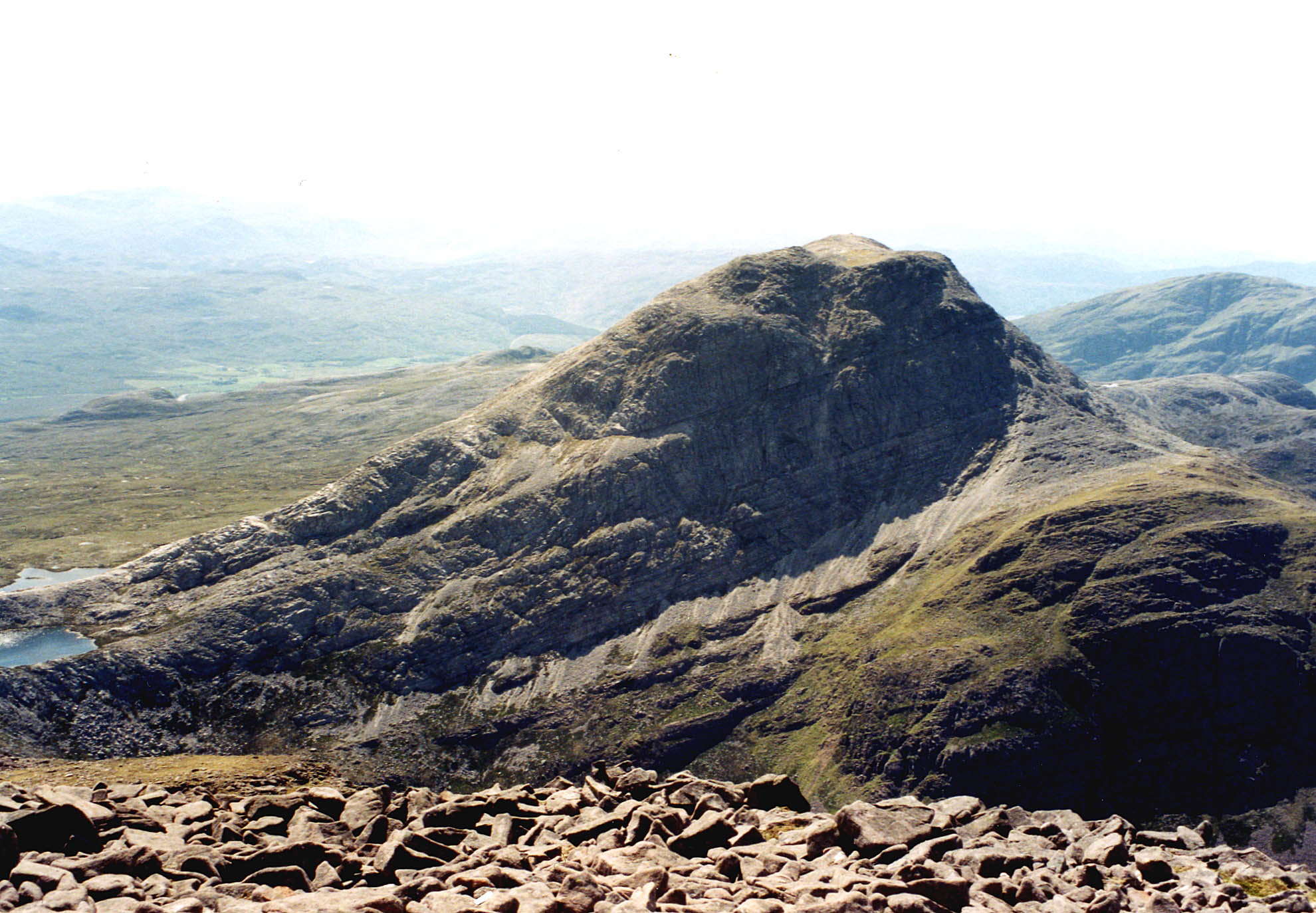
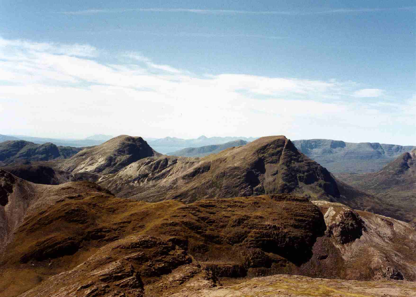
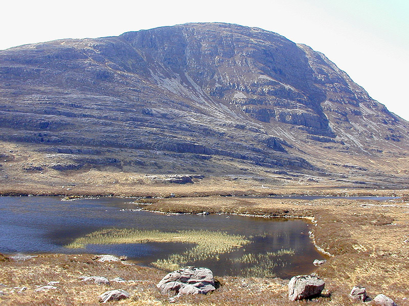
An Gorm-Loch, located in Ross-shire, Scotland, is a captivating freshwater body known for its beauty and ecological significance. Also referred to as a lake, pool, pond, or freshwater marsh, it encompasses an area of approximately 20 hectares. The loch is nestled amidst the picturesque Scottish Highlands, offering stunning panoramic views of the surrounding landscape.
The water in An Gorm-Loch is crystal clear, reflecting the vibrant hues of the sky and the lush greenery that surrounds it. It is fed by several small streams and springs, ensuring a constant flow of fresh water. This sustains a rich and diverse ecosystem, supporting various aquatic plants and wildlife.
The margins of the loch are adorned with reeds, sedges, and other marsh vegetation, creating a haven for numerous bird species. Ornithologists and birdwatchers flock to An Gorm-Loch to spot a variety of waterfowl, including ducks, swans, grebes, and herons. The tranquil environment and abundant food sources make it an ideal breeding ground for these avian creatures.
In addition to its ornithological significance, An Gorm-Loch also supports a diverse range of aquatic life. The lake is home to numerous species of fish, such as brown trout and pike. These fish attract anglers from far and wide, drawn to the challenge of catching these elusive creatures.
An Gorm-Loch is a popular destination for nature enthusiasts and photographers, who are captivated by its serene atmosphere and breathtaking vistas. It provides a tranquil escape from the hustle and bustle of everyday life, offering visitors the opportunity to immerse themselves in the beauty of Scotland's natural wonders.
If you have any feedback on the listing, please let us know in the comments section below.
An Gorm-Loch Images
Images are sourced within 2km of 57.45934/-5.5023477 or Grid Reference NG9046. Thanks to Geograph Open Source API. All images are credited.


An Gorm-Loch is located at Grid Ref: NG9046 (Lat: 57.45934, Lng: -5.5023477)
Unitary Authority: Highland
Police Authority: Highlands and Islands
What 3 Words
///modem.stops.sulked. Near Lochcarron, Highland
Nearby Locations
Related Wikis

Sgurr a' Gharaidh
Sgurr a' Gharaidh (732 m) is a mountain in the Northwest Highlands of Scotland. It lies in Wester Ross, north of Loch Carron. The mountain is the highest...
An Ruadh-stac
An Ruadh-stac is a Scottish mountain situated in the Wester Ross region of the Highland council area. It is located 26 km north east of Kyle of Lochalsh...

Beinn Damh
Beinn Damh (or Ben Damph) is a Scottish mountain situated in the wild mountainous area between Upper Loch Torridon and Glen Carron, 25 kilometres north...
Maol Cheann-dearg
Maol Cheann-Dearg is a mountain in the Northwest Highlands of Scotland, between Upper Loch Torridon and Loch Carron, in the Coulags deer forest in Wester...

River Carron, Wester Ross
River Carron (Scottish Gaelic: Carrann, pronounced [ˈkʰaᵲən̴̪]) is a west coast river in Wester Ross, in the Highlands of Scotland. The river rises in...
Beinn na h-Eaglaise (Graham)
Beinn na h-Eaglaise (736 m) is a mountain in the Northwest Highlands of Scotland. It lies in Wester Ross, south of the village of Torridon. A steep mountain...

Strathcarron, Highland
Strathcarron (Scottish Gaelic: Srath Carrann) is a hamlet, in the Highland council area of Scotland. == Geography == It is situated at the head of the...

Strathcarron railway station
Strathcarron railway station is a remote railway station on the Kyle of Lochalsh Line, serving the small village of Strathcarron and the larger village...
Have you been to An Gorm-Loch?
Leave your review of An Gorm-Loch below (or comments, questions and feedback).