Glasshouse

Settlement in Gloucestershire Forest of Dean

England

Glasshouse

Emerging arable crop We saw the sowing/cultivation process take place two weeks earlier, see <a href="https://www.geograph.org.uk/photo/6985698">SO7222 : Crossed lines</a>.
Emerging arable crop Credit: Jonathan Billinger

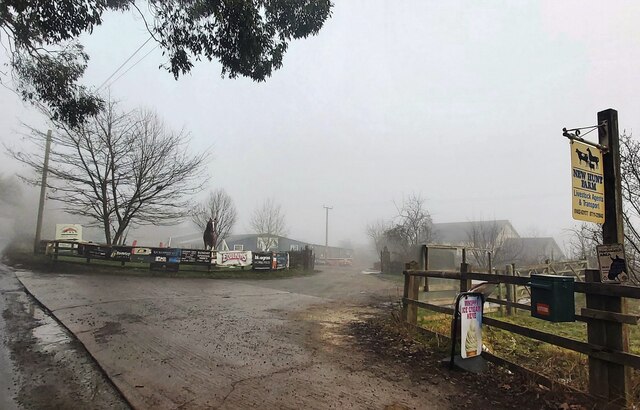
Glasshouse, Gloucestershire is a small village located in the district of Stroud, in the southwestern part of England. Situated in the beautiful Cotswolds region, the village is surrounded by picturesque countryside and rolling hills, offering a tranquil and idyllic setting for residents and visitors alike.

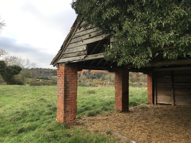
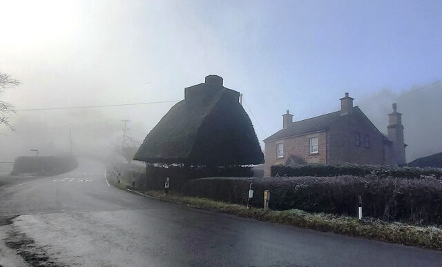
The origins of Glasshouse can be traced back to the 17th century, when the village was established as a center for glassmaking. The name of the village is derived from the glasshouses that were once abundant in the area, producing glassware and other glass products. Today, remnants of this industrial heritage can still be seen in the form of historical buildings and structures.

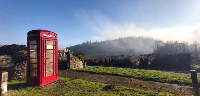
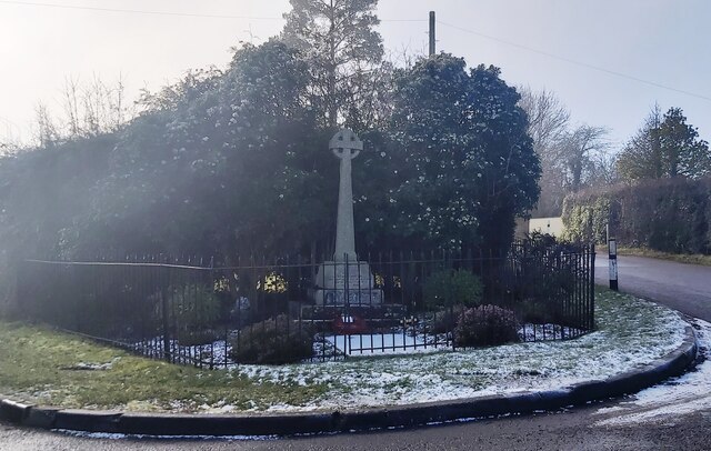
The village itself is characterized by its charming, traditional Cotswold stone houses, which add to its timeless appeal. Glasshouse is a close-knit community with a small population, fostering a strong sense of community and neighborly spirit. The village is home to a local pub, which serves as a social hub for residents and visitors to gather and enjoy a pint of locally brewed ale.

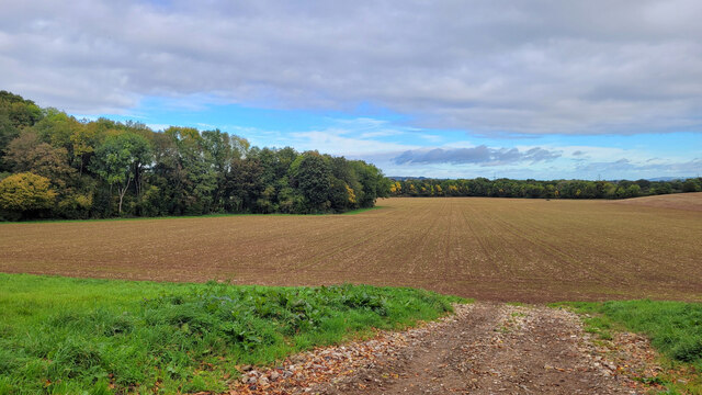
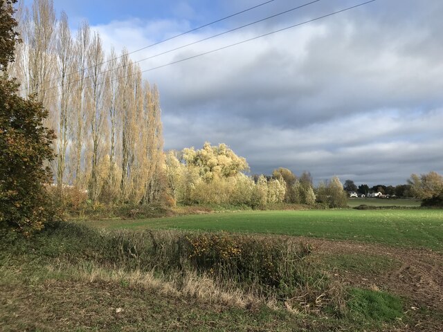
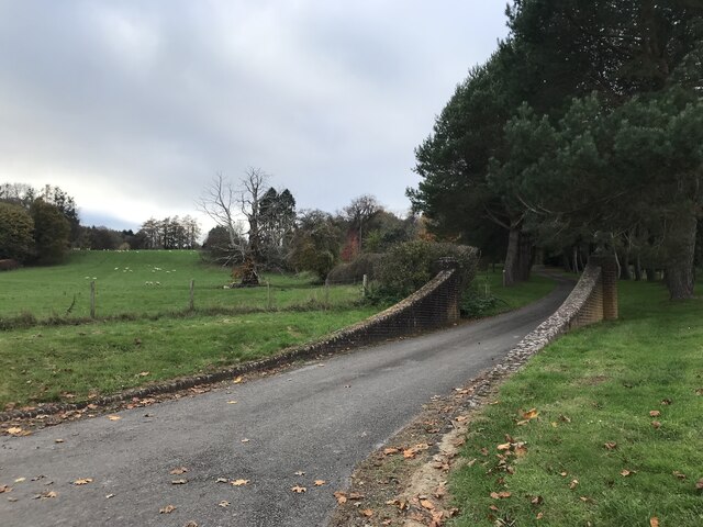
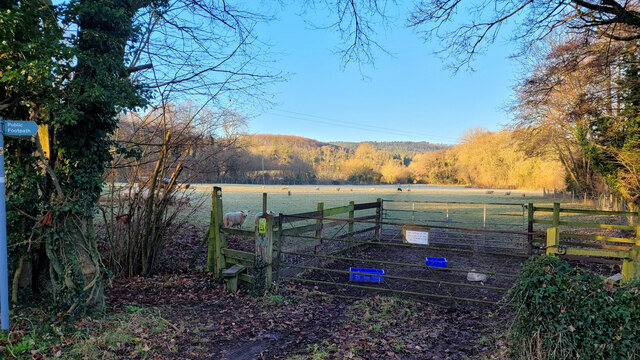
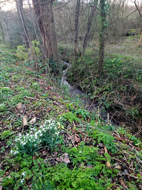
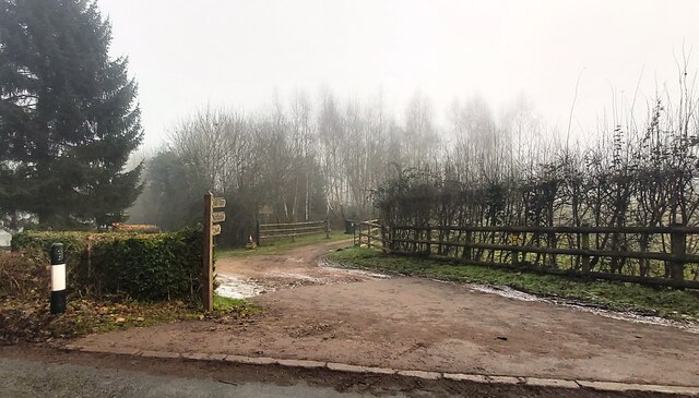
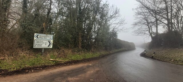
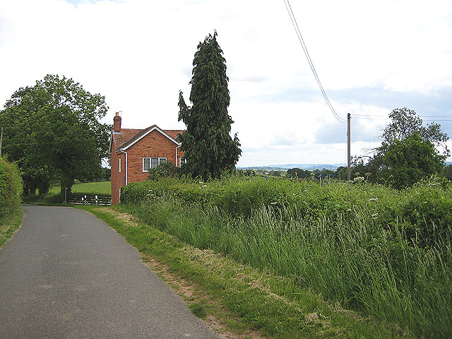
Surrounded by lush green fields and woodlands, Glasshouse offers plenty of opportunities for outdoor activities and exploration. The nearby Cotswold Way, a popular long-distance footpath, attracts hikers and nature enthusiasts from all over. Additionally, the village is within easy reach of the larger towns of Stroud and Gloucester, providing access to a wider range of amenities and services.

In summary, Glasshouse, Gloucestershire is a delightful village that exudes charm and tranquility. Its rich history, stunning natural surroundings, and strong community spirit make it an appealing destination for those seeking a peaceful retreat in the heart of the Cotswolds.

If you have any feedback on the listing, please let us know in the comments section below.
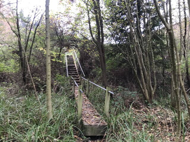
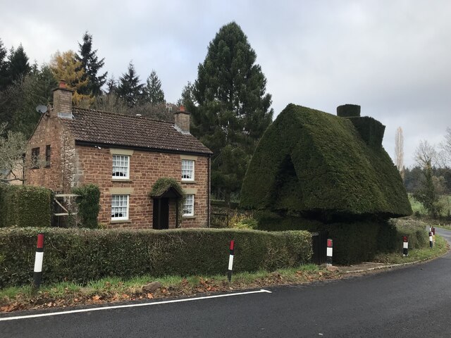
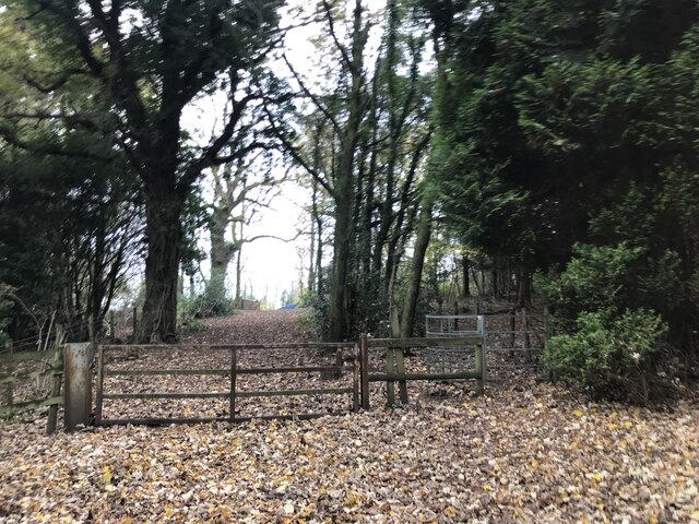
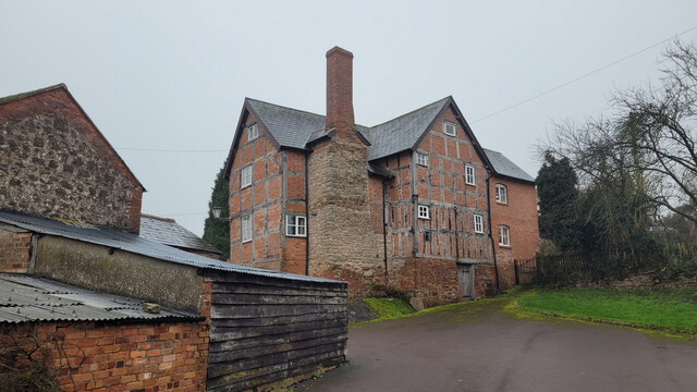
Glasshouse Images

Images are sourced within 2km of 51.890252/-2.425724 or Grid Reference SO7021. Thanks to Geograph Open Source API. All images are credited.

Emerging arable crop We saw the sowing/cultivation process take place two weeks earlier, see <a href="https://www.geograph.org.uk/photo/6985698">SO7222 : Crossed lines</a>.
Emerging arable crop
We saw the sowing/cultivation process take place two weeks earlier, see SO7222 : Crossed lines.
Mixed trees
Mixed trees
Open barn
Open barn
Driveway entrance
Driveway entrance
Unexpected steps
Unexpected steps
Tree house
Tree house
Woodland gateway
Woodland gateway
Byfords Farmhouse A very large ancient house between Huntley and Taynton.
Byfords Farmhouse
A very large ancient house between Huntley and Taynton.
Footpath into a frosty field Newent Woods on the flank of May Hill can be seen in the distance.
Footpath into a frosty field
Newent Woods on the flank of May Hill can be seen in the distance.
Snowdrops, Daffodils and Stream The very early spring weather has been bringing the wild plants to life.
Snowdrops, Daffodils and Stream
The very early spring weather has been bringing the wild plants to life.
Evidence of a recent wildfire Hot, dry conditions in the summer of 2022 have resulted in this roadside fire on Newent Lane.
Evidence of a recent wildfire
Hot, dry conditions in the summer of 2022 have resulted in this roadside fire on Newent Lane.
Public Telephone Box with Fog Covered Bright's Hill Beyond
New Hunt Farm
New Hunt Farm
Entrance to Northend Farm House
Rural Road Junction
Rural Road Junction
Entrance Gates - Glasshouse Reservoir
Unusual Topiary in Glasshouse
War Memorial - May Hill Village
Show me another place!

Glasshouse is located at Grid Ref: SO7021 (Lat: 51.890252, Lng: -2.425724)

Administrative County: Gloucestershire

District: Forest of Dean

Police Authority: Gloucestershire

What 3 Words

///catchers.infinite.emulating. Near Huntley, Gloucestershire

Nearby Locations

Glasshouse

Related Wikis

Anthony's Cross

Anthony's Cross is a hamlet in Gloucestershire, England. == External links == Media related to Anthony's Cross at Wikimedia Commons

Cliffords Mesne

Cliffords Mesne is an English village in Gloucestershire, two miles (3.2 km) south-west of the town of Newent. It became the home of the autobiographical...

May Hill

May Hill is a prominent English hill between Gloucester and Ross-on-Wye. Its summit, on the western edge of Gloucestershire and its northern slopes in...

Taynton, Gloucestershire

Taynton is a village and civil parish in the Forest of Dean district of Gloucestershire, England. It lies about 2.5 miles (4.0 km) south-east of Newent...

Nearby Amenities

Located within 500m of 51.890252,-2.425724
Glasshouse
Is In: Gloucestershire, England, UK
Place: hamlet
Lat/Long: 51.8903079/-2.4221424
Bus Stop
Glasshouse Inn
Naptan AtcoCode: 1600GL2131
Naptan Bearing: N
Naptan CommonName: Glasshouse Inn
Naptan Indicator: Opp
Naptan NaptanCode: gloampdm
Naptan Street: Glasshouse Hill
Naptan Verified: no
Source: naptan_import
Lat/Long: 51.889657/-2.4235304
Bus Stop
Glasshouse Inn
Naptan AtcoCode: 1600GL2132
Naptan Bearing: S
Naptan CommonName: Glasshouse Inn
Naptan NaptanCode: gloampdp
Naptan Street: Glasshouse Hill
Naptan Verified: no
Source: naptan_import
Lat/Long: 51.8897385/-2.4233568
Hill Farm
Landuse: farm
Note Retag: CS #48756035
Source: OS OpenData StreetView
Lat/Long: 51.8872338/-2.4265881
Power: pole
Lat/Long: 51.8891765/-2.4243416
Power: pole
Lat/Long: 51.8893382/-2.4236939
Power: pole
Lat/Long: 51.8894871/-2.4231153
Power: pole
Lat/Long: 51.8898237/-2.4222794
Power: pole
Lat/Long: 51.89006/-2.4217217
Post Box
Collection Times: Mo-Fr 16:15; Sa 08:15
Post Box Type: wall
Ref: GL17 61
Royal Cypher: VR
Royal Cypher Wikidata: Q33102356
Lat/Long: 51.8904011/-2.4235873
Power: pole
Lat/Long: 51.8904357/-2.4208793
Power: pole
Lat/Long: 51.8908719/-2.419899
Power: pole
Lat/Long: 51.8909398/-2.4197647
Power: pole
Lat/Long: 51.8909729/-2.4189123
Glasshouse Pumping Station
Power: pole
Transformer: distribution
Voltage Primary: 11000
Lat/Long: 51.8913981/-2.420353
Power: pole
Lat/Long: 51.8910306/-2.4200298
Glasshouse Newent
Power: pole
Transformer: distribution
Voltage Primary: 11000
Lat/Long: 51.8907045/-2.4211248
Power: pole
Lat/Long: 51.8861355/-2.4275349
Power: pole
Lat/Long: 51.8865212/-2.4269137
Castle Hill
Power: pole
Transformer: distribution
Voltage Primary: 11000
Lat/Long: 51.8871325/-2.4260118
Power: pole
Lat/Long: 51.8875008/-2.4254586
Power: pole
Lat/Long: 51.8862336/-2.4240397
Power: pole
Lat/Long: 51.8869872/-2.4245909
Power: pole
Lat/Long: 51.8872529/-2.4248242
Power: pole
Lat/Long: 51.887829/-2.4253419
Power: pole
Lat/Long: 51.8882479/-2.4252346
Power: pole
Lat/Long: 51.8886857/-2.4247947
The data included in this document is from www.openstreetmap.org. The data is made available under ODbL.

Have you been to Glasshouse?

Leave your review of Glasshouse below (or comments, questions and feedback).