Glascote

Settlement in Warwickshire Tamworth

England

Glascote

Tamworth Community Fire Station  (4) This photograph <a href="https://www.geograph.org.uk/photo/2019538">SK2202 : Tamworth Community Fire Station  (1)</a> shows another view of this Fire Station, from virtually the same viewpoint, but from an earlier date in Construction.
Tamworth Community Fire Station (4) Credit: Chris' Buet

Glascote is a small suburban area located in the county of Warwickshire, England. It is situated just north of the town of Tamworth and forms part of the Tamworth Borough Council. Glascote is primarily a residential area, characterized by a mix of housing developments, ranging from traditional houses to modern apartments.

The community of Glascote benefits from its close proximity to Tamworth, offering residents easy access to a range of amenities and services. The town center of Tamworth is just a short distance away, providing a wide variety of shopping facilities, restaurants, and entertainment options.

Glascote is well-connected to the surrounding areas by road and rail. The A5 road runs to the north of the area, providing convenient links to neighboring towns and cities. The nearby Tamworth railway station offers regular services to Birmingham, London, and other major destinations across the United Kingdom.

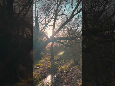
In terms of recreational activities, Glascote residents have access to several parks and green spaces in the vicinity. Dosthill Park, Kingsbury Water Park, and Tamworth Castle Grounds are popular destinations for outdoor enthusiasts, offering opportunities for leisurely walks, picnics, and various sporting activities.

Overall, Glascote provides a peaceful residential environment with easy access to urban amenities. Its convenient location, along with its pleasant surroundings, makes it an attractive place to live for individuals and families alike.

If you have any feedback on the listing, please let us know in the comments section below.
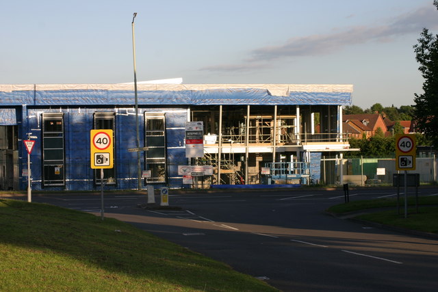
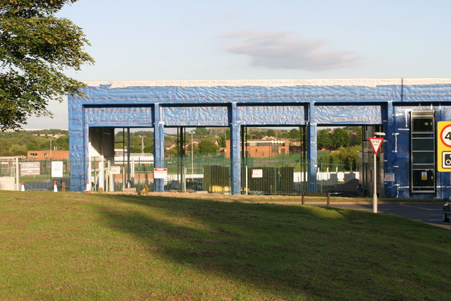
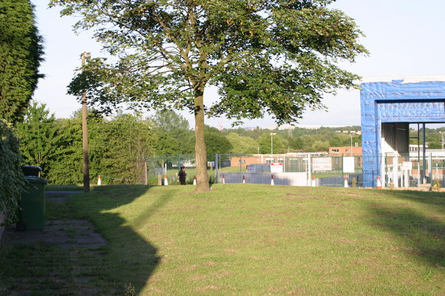
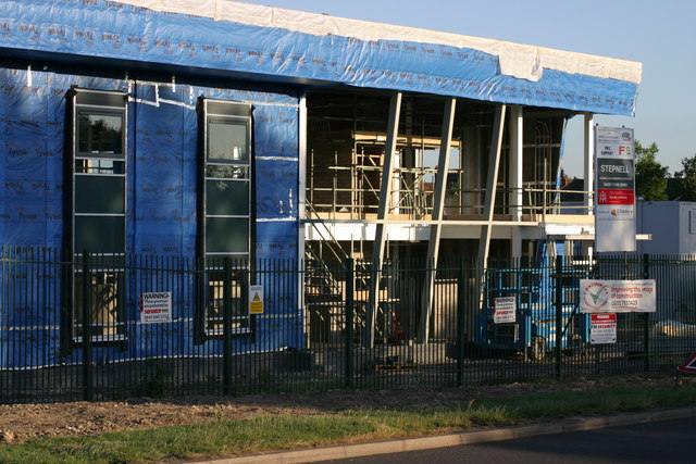
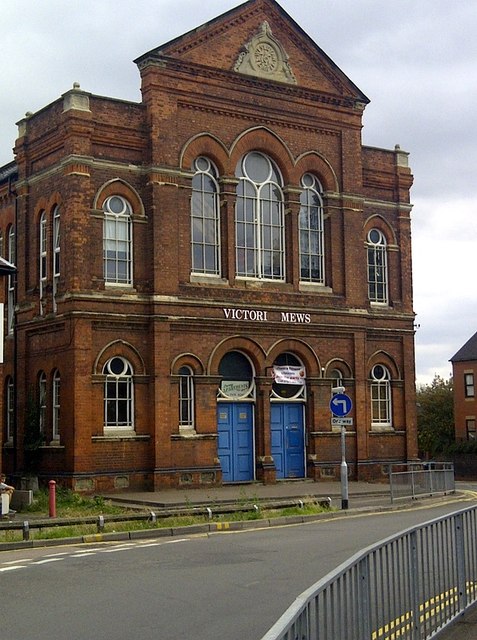
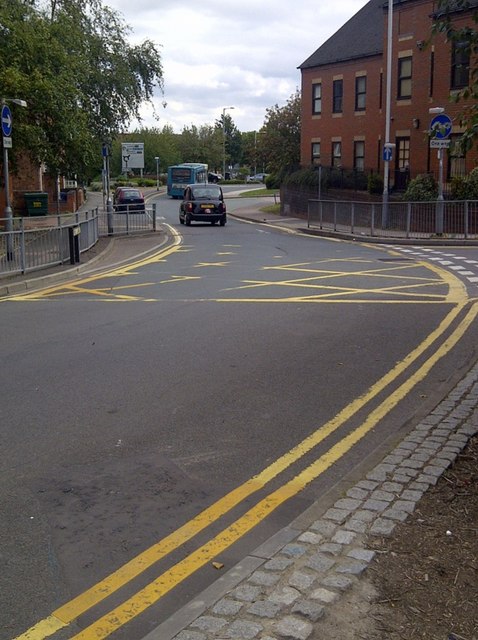
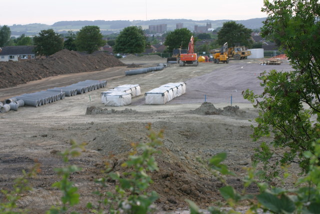
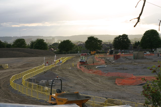
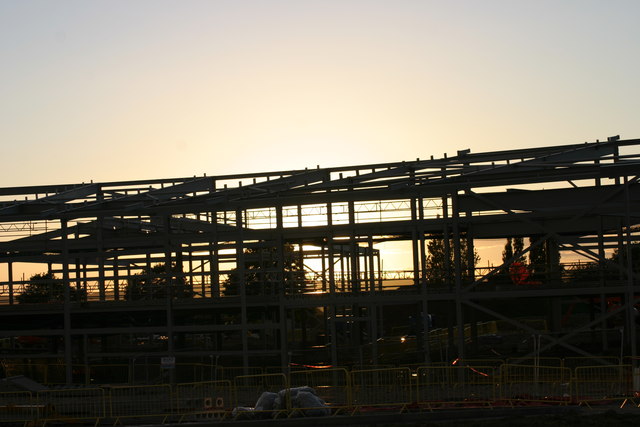
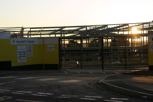
Glascote Images

Images are sourced within 2km of 52.62751/-1.669033 or Grid Reference SK2203. Thanks to Geograph Open Source API. All images are credited.

Tamworth Community Fire Station  (4) This photograph <a href="https://www.geograph.org.uk/photo/2019538">SK2202 : Tamworth Community Fire Station  (1)</a> shows another view of this Fire Station, from virtually the same viewpoint, but from an earlier date in Construction.
Tamworth Community Fire Station (4)
This photograph SK2202 : Tamworth Community Fire Station (1) shows another view of this Fire Station, from virtually the same viewpoint, but from an earlier date in Construction.
Tamworth Community Fire Station  (5) This photograph <a href="https://www.geograph.org.uk/photo/2019550">SK2202 : Tamworth Community Fire Station  (2)</a> shows a view from virtually the same viewpoint, but from an earlier date in construction.
Tamworth Community Fire Station (5)
This photograph SK2202 : Tamworth Community Fire Station (2) shows a view from virtually the same viewpoint, but from an earlier date in construction.
Tamworth Community Fire Station  (6) This photograph <a href="https://www.geograph.org.uk/photo/2424592">SK2202 : Tamworth Community Fire Station  (4)</a> shows another view of this Fire Station.
Tamworth Community Fire Station (6)
This photograph SK2202 : Tamworth Community Fire Station (4) shows another view of this Fire Station.
Tamworth Community Fire Station  (7) This photograph <a href="https://www.geograph.org.uk/photo/2424608">SK2202 : Tamworth Community Fire Station  (5)</a> shows another view of the above Fire station.
Tamworth Community Fire Station (7)
This photograph SK2202 : Tamworth Community Fire Station (5) shows another view of the above Fire station.
Tamworth Community Fire Station  (8) This photograph <a href="https://www.geograph.org.uk/photo/2424618">SK2202 : Tamworth Community Fire Station  (6)</a> shows another view of this Fire Station.
Tamworth Community Fire Station (8)
This photograph SK2202 : Tamworth Community Fire Station (6) shows another view of this Fire Station.
Tamworth Community Fire Station  (9) This photograph <a href="https://www.geograph.org.uk/photo/2424630">SK2202 : Tamworth Community Fire Station  (7)</a> shows another view of this Fire station.
Tamworth Community Fire Station (9)
This photograph SK2202 : Tamworth Community Fire Station (7) shows another view of this Fire station.
Tamworth Community Fire Station  (10) The above photograph shows this Fire station in the distance to the left handside of the photograph. This photograph <a href="https://www.geograph.org.uk/photo/2424608">SK2202 : Tamworth Community Fire Station  (5)</a> shows another view of this Fire station.
Tamworth Community Fire Station (10)
The above photograph shows this Fire station in the distance to the left handside of the photograph. This photograph SK2202 : Tamworth Community Fire Station (5) shows another view of this Fire station.
Tamworth Community Fire Station  (11) This photograph <a href="https://www.geograph.org.uk/photo/2424608">SK2202 : Tamworth Community Fire Station  (5)</a> shows another view of this Fire station while under construction.
Tamworth Community Fire Station (11)
This photograph SK2202 : Tamworth Community Fire Station (5) shows another view of this Fire station while under construction.
Silver Link Road, Tamworth
Victoria Mews An old building converted into flats. Victoria Road in Tamworth B79 comprises 109 properties. Over half of them are residential (i.e. there are a total of 67 homes in Victoria Road).
Victoria Mews
An old building converted into flats. Victoria Road in Tamworth B79 comprises 109 properties. Over half of them are residential (i.e. there are a total of 67 homes in Victoria Road).
One Way System Victoria Road is off to the right hand side of the one way system.
One Way System
Victoria Road is off to the right hand side of the one way system.
War Memorial War Memorial - outside St Editha's Church
War Memorial
War Memorial - outside St Editha's Church
Saturday Market The start of a row of stalls erected during one of the Saturday market days.
Saturday Market
The start of a row of stalls erected during one of the Saturday market days.
Landau Forte Academy Amington  (1) The above photograph shows the beginning of the construction of the Landau Forte Academy, Amington, as will the other Landau Forte Academy Amington photographs posted after this one.
Landau Forte Academy Amington (1)
The above photograph shows the beginning of the construction of the Landau Forte Academy, Amington, as will the other Landau Forte Academy Amington photographs posted after this one.
Landau Forte Academy, Amington  (2)
Landau Forte Academy, Amington (2)
Landau Forte Academy , Amington  (3) This photographs shows a view of the girder structure of the Academy backlit by the evening sun. This photograph <a href="https://www.geograph.org.uk/photo/2682351">SK2203 : Landau Forte Academy Amington  (1)</a> shows another view of Academy construction site.
Landau Forte Academy , Amington (3)
This photographs shows a view of the girder structure of the Academy backlit by the evening sun. This photograph SK2203 : Landau Forte Academy Amington (1) shows another view of Academy construction site.
Landau Forte Academy, Amington  (4) This photograph <a href="https://www.geograph.org.uk/photo/2682351">SK2203 : Landau Forte Academy Amington  (1)</a> shows another view of the above building site.
Landau Forte Academy, Amington (4)
This photograph SK2203 : Landau Forte Academy Amington (1) shows another view of the above building site.
Landau Forte Academy, Amington  (5) The above photograph shows part of the new academy's girder structure backlit by the evening sun. This photograph <a href="https://www.geograph.org.uk/photo/2682382">SK2303 : Landau Forte Academy, Amington  (2)</a> shows another view of this academy under construction.
Landau Forte Academy, Amington (5)
The above photograph shows part of the new academy's girder structure backlit by the evening sun. This photograph SK2303 : Landau Forte Academy, Amington (2) shows another view of this academy under construction.
Show me another place!

Glascote is located at Grid Ref: SK2203 (Lat: 52.62751, Lng: -1.669033)

Administrative County: Staffordshire

District: Tamworth

Police Authority: Staffordshire

What 3 Words

///joins.wacky.farms. Near Tamworth, Staffordshire

Nearby Locations

Glascote

Related Wikis

Glascote

Glascote is an area of Tamworth, in the Tamworth district, in Staffordshire, England. The area centres on the Glascote Road, and is mainly residential...

Amington

Amington is a suburban village, parish and ward, in Staffordshire, England. Formerly a distinct village, it is now part of the Tamworth borough, with no...

Landau Forte Academy Amington

Landau Forte Academy Amington (previously Landau Forte Academy Tamworth), is a high school situated in Amington, a suburb of Tamworth, Staffordshire. The...

Bolehall Swifts F.C.

Bolehall Swifts Football Club is a football club based in Bolehall, a suburb of Tamworth, Staffordshire, England. They are currently members of the Midland...

Related Videos

Peaceful Walk through Tameside Nature Reserve, UK Walking Tour, English Countryside in 4K.

Peaceful Walk through Tameside Nature Reserve, UK Walking Tour, English Countryside in 4K. A quiet and peaceful walk ...

Walking Tamworth in Staffordshire

Time to head up the A5 Watling Street and have a look at Tamworth Sam one of our subscribers invited me up to have a walk ...

Visiting an ancient capital City! | TAMWORTH WALKING TOUR🚶| Full tour of Historic Tamworth, England

Today I go to Tamworth England and look around the historic Town Centre. Tamworth is a market town and borough in ...

Tamworth England - A Relaxing Walk Through Nature in a Town in United Kingdeom TMV

Tamworth Walk. Town in England. Miles across the English Countryside. Beautiful Countryside United Kingdom. Amazing Places ...

Nearby Amenities

Located within 500m of 52.62751,-1.669033
Traffic Calming: yes
Lat/Long: 52.6283448/-1.6662228
Speed Camera
Lat/Long: 52.6277354/-1.6728816
Speed Camera
Lat/Long: 52.6276737/-1.6717676
Glascote
Is In Town: Tamworth
Place: suburb
Lat/Long: 52.6285444/-1.6743993
Bus Stop
Tudor Crescent
Bus: yes
Naptan AtcoCode: 3800C900300
Naptan Bearing: NW
Naptan CommonName: Tudor Crescent
Naptan Indicator: Adj
Naptan Landmark: Tudor Cres
Naptan PlusbusZoneRef: TAMWORTH
Naptan Street: St George's Way
Naptan Verified: no
Public Transport: platform
Source: naptan_import
Lat/Long: 52.6303205/-1.6661306
Bus Stop
Tudor Crescent
Bus: yes
Naptan AtcoCode: 3800C900301
Naptan Bearing: NW
Naptan CommonName: Tudor Crescent
Naptan Indicator: Opp
Naptan Landmark: Tudor Cres
Naptan PlusbusZoneRef: TAMWORTH
Naptan Street: St Georges Way
Naptan Verified: no
Public Transport: platform
Source: naptan_import
Lat/Long: 52.6304647/-1.6662625
Bus Stop
Dolphin Inn Bus Stop
Bench: yes
Bin: yes
Bus: yes
Departures Board: timetable
Naptan AtcoCode: 3800C901201
Naptan Bearing: NW
Naptan CommonName: Dolphin Inn
Naptan Indicator: Opp
Naptan Landmark: Dolphin Inn Bus Stop
Naptan PlusbusZoneRef: TAMWORTH
Naptan Street: Glascote Road
Naptan Verified: no
Network: Arriva
Network Wikidata: Q680991
Network Wikipedia: en:Arriva
Operator: Arriva
Public Transport: platform
Shelter: yes
Source: naptan_import
Lat/Long: 52.6281925/-1.675211
Bus Stop
Trojan
Bus: yes
Naptan AtcoCode: 3800C909101
Naptan Bearing: W
Naptan CommonName: Trojan
Naptan Indicator: Adj
Naptan Landmark: Trojan
Naptan PlusbusZoneRef: TAMWORTH
Naptan Street: Leyland Road
Naptan Verified: no
Public Transport: platform
Source: naptan_import
Lat/Long: 52.6248828/-1.6698062
Bus Stop
Wyvern
Bus: yes
Naptan AtcoCode: 3800C909201
Naptan Bearing: S
Naptan CommonName: Wyvern
Naptan Indicator: Adj
Naptan Landmark: Wyvern
Naptan PlusbusZoneRef: TAMWORTH
Naptan Street: Dumolo's Ln
Naptan Verified: no
Public Transport: platform
Source: naptan_import
Lat/Long: 52.6251496/-1.6687553
Bus Stop
Glascote Road
Bus: yes
Naptan AtcoCode: 3800C909301
Naptan Bearing: S
Naptan CommonName: Glascote Road
Naptan Indicator: Adj
Naptan Landmark: Glascote Rd
Naptan PlusbusZoneRef: TAMWORTH
Naptan Street: Marlborough Way
Naptan Verified: no
Public Transport: platform
Source: naptan_import
Lat/Long: 52.6258274/-1.6665761
Bus Stop
Sheepcote Lane
Bus: yes
Naptan AtcoCode: 3800C913101
Naptan Bearing: NW
Naptan CommonName: Sheepcote Lane
Naptan Indicator: Adj
Naptan Landmark: Sheepcote Ln
Naptan PlusbusZoneRef: TAMWORTH
Naptan Street: Glascote Rd
Naptan Verified: no
Public Transport: platform
Source: naptan_import
Lat/Long: 52.6263199/-1.6651165
Bus Stop
Sheepcote Lane
Bus: yes
Naptan AtcoCode: 3800C913102
Naptan Bearing: SE
Naptan CommonName: Sheepcote Lane
Naptan Indicator: Adj
Naptan Landmark: Sheepcote Ln
Naptan PlusbusZoneRef: TAMWORTH
Naptan Street: Glascote Rd
Naptan Verified: no
Public Transport: platform
Source: naptan_import
Lat/Long: 52.6265673/-1.6649351
Bus Stop
Argyle Street
Bus: yes
Naptan AtcoCode: 3800C914401
Naptan Bearing: E
Naptan CommonName: Argyle Street
Naptan Indicator: Adj
Naptan Landmark: Argyle St
Naptan PlusbusZoneRef: TAMWORTH
Naptan Street: St Georges Way
Naptan Verified: no
Public Transport: platform
Source: naptan_import
Lat/Long: 52.6309457/-1.6711199
Bus Stop
Argyle Street
Bus: yes
Naptan AtcoCode: 3800C914402
Naptan Bearing: W
Naptan CommonName: Argyle Street
Naptan Indicator: Adj
Naptan Landmark: Argyle St
Naptan PlusbusZoneRef: TAMWORTH
Naptan Street: St Georges Way
Naptan Verified: no
Public Transport: platform
Source: naptan_import
Lat/Long: 52.6308762/-1.6719921
Bus Stop
Canning Road
Bus: yes
Naptan AtcoCode: 3800C914701
Naptan Bearing: N
Naptan CommonName: Canning Road
Naptan Indicator: Adj
Naptan Landmark: Canning Road
Naptan PlusbusZoneRef: TAMWORTH
Naptan Street: Sheepcote Ln
Naptan Verified: no
Public Transport: platform
Source: naptan_import
Lat/Long: 52.6281006/-1.6663691
Bus Stop
Canning Road
Bus: yes
Naptan AtcoCode: 3800C914702
Naptan Bearing: S
Naptan CommonName: Canning Road
Naptan Indicator: Opp
Naptan Landmark: Canning Rd
Naptan PlusbusZoneRef: TAMWORTH
Naptan Street: Sheepcote Ln
Naptan Verified: no
Public Transport: platform
Source: naptan_import
Lat/Long: 52.6284595/-1.66613
Bus Stop
Edwards Court
Bus: yes
Naptan AtcoCode: 3800C918901
Naptan Bearing: W
Naptan CommonName: Edwards Court
Naptan Indicator: Opp
Naptan Landmark: Edwards Ct
Naptan PlusbusZoneRef: TAMWORTH
Naptan Street: St Georges Way
Naptan Verified: no
Public Transport: platform
Source: naptan_import
Lat/Long: 52.6307214/-1.6680483
Bus Stop
Edward Court
Bus: yes
Naptan AtcoCode: 3800C918902
Naptan Bearing: E
Naptan CommonName: Edward Court
Naptan Indicator: Adj
Naptan Landmark: Edward Ct
Naptan PlusbusZoneRef: TAMWORTH
Naptan Street: St.Georges Way
Naptan Verified: no
Public Transport: platform
Source: naptan_import
Lat/Long: 52.6308301/-1.668343
Bus Stop
Clifford Street
Bus: yes
Naptan AtcoCode: 3800C919001
Naptan Bearing: E
Naptan CommonName: Clifford Street
Naptan Indicator: Adj
Naptan Landmark: Clifford St
Naptan PlusbusZoneRef: TAMWORTH
Naptan Street: Glascote Rd
Naptan Verified: no
Public Transport: platform
Source: naptan_import
Lat/Long: 52.6277107/-1.6716317
Bus Stop
Clifford Street
Bus: yes
Naptan AtcoCode: 3800C919002
Naptan Bearing: W
Naptan CommonName: Clifford Street
Naptan Indicator: Opp
Naptan Landmark: Clifford St
Naptan PlusbusZoneRef: TAMWORTH
Naptan Street: Glascote Rd
Naptan Verified: no
Public Transport: platform
Source: naptan_import
Lat/Long: 52.6276305/-1.6718687
Bus Stop
Working Men's Club
Bench: yes
Bus: yes
Naptan AtcoCode: 3800C919101
Naptan Bearing: W
Naptan CommonName: Working Men's Club
Naptan Indicator: Adj
Naptan Landmark: Working Men's Club
Naptan PlusbusZoneRef: TAMWORTH
Naptan Street: Glascote Rd
Naptan Verified: no
Public Transport: platform
Shelter: yes
Source: naptan_import
Lat/Long: 52.6275819/-1.6696822
Bus Stop
Working Men's Club
Bus: yes
Naptan AtcoCode: 3800C919102
Naptan Bearing: E
Naptan CommonName: Working Men's Club
Naptan Indicator: Opp
Naptan Landmark: Working Men's Club
Naptan PlusbusZoneRef: TAMWORTH
Naptan Street: Glascote Rd
Naptan Verified: no
Public Transport: platform
Source: naptan_import
Lat/Long: 52.6276517/-1.6698149
Bus Stop
Glascote Cottage
Bus: yes
Naptan AtcoCode: 3800C921101
Naptan Bearing: S
Naptan CommonName: Glascote Cottage
Naptan Indicator: Adj
Naptan Landmark: Glascote Cottage
Naptan PlusbusZoneRef: TAMWORTH
Naptan Street: Dumolo's Ln
Naptan Verified: no
Public Transport: platform
Source: naptan_import
Lat/Long: 52.6266871/-1.6688323
Lakeside News, Food and Wine
Shop: supermarket
Lat/Long: 52.6248103/-1.6719518
Traffic Calming: yes
Lat/Long: 52.6300435/-1.668818
Source: Bing
Lat/Long: 52.6297897/-1.6746275
Traffic Calming: yes
Lat/Long: 52.6289288/-1.6666986
Entrance: main
Lat/Long: 52.6299618/-1.6703911
Waste Basket
Waste: dog_excrement
Lat/Long: 52.6282689/-1.6708975
Post Box
Drive Through: no
Operator: Royal Mail
Operator Wikidata: Q638098
Ref: B77 1218
Lat/Long: 52.6316262/-1.6697941
Telephone
Booth: KX100
Covered: booth
Lat/Long: 52.6316193/-1.670443
Post Box
Ref: B77 1301
Lat/Long: 52.6231601/-1.6690623
Post Box
Ref: B77 1300
Lat/Long: 52.6303164/-1.666117
Telephone
Booth: KX100
Covered: booth
Lat/Long: 52.6282521/-1.6754074
Addr Housename: Dolphin Inn
Entrance: main
Lat/Long: 52.6283962/-1.6753528
Fast Food
The Jolly Fryer
Addr City: Tamworth
Addr Housenumber: 318
Addr Postcode: B77 2AX
Addr Street: Glascote Road
Cuisine: fish_and_chips
Drive Through: no
Opening Hours: Mo-Sa 11:45-14:00,16:30-22:00
Lat/Long: 52.6278688/-1.6744911
Crossing
Crossing: traffic_signals
Crossing Ref: pelican
Lat/Long: 52.6276256/-1.670369
Crossing
Crossing: traffic_signals
Crossing Ref: pelican
Kerb: lowered
Tactile Paving: yes
Lat/Long: 52.6256058/-1.6629081
Crossing
Crossing: traffic_signals
Crossing Ref: pelican
Kerb: lowered
Tactile Paving: yes
Lat/Long: 52.6254782/-1.6629317
Crossing
Crossing: traffic_signals
Crossing Ref: pelican
Kerb: lowered
Tactile Paving: yes
Lat/Long: 52.6284288/-1.6759408
Bicycle Parking
Bicycle Parking: stands
Lat/Long: 52.6271128/-1.6694969
Crossing
Crossing: marked
Lat/Long: 52.6274446/-1.6699392
Crossing
Crossing: marked
Lat/Long: 52.6272941/-1.6699546
Crossing
Crossing: marked
Lat/Long: 52.6267939/-1.6703812
Entrance: yes
Lat/Long: 52.6271772/-1.6699541
Entrance: yes
Lat/Long: 52.6262623/-1.6704872
Waste Basket
Lat/Long: 52.6276776/-1.6715573
Waste Basket
Lat/Long: 52.6296482/-1.6746377
Computer Solutions
Addr City: Tamworth
Addr Housenumber: 322
Addr Postcode: B77 2BS
Addr Street: Glascote Road
Craft: electronics_repair
Opening Hours: Mo-We 10:00-17:00, Th closed, Fr-Sa 10:00-17:00, Su closed
Phone: +44 1827 769297
Website: http://www.computersolutionstamworth.co.uk/
Lat/Long: 52.6277346/-1.6738271
Tamworth Tube Station
Addr City: Tamworth
Addr Housenumber: 1
Addr Postcode: B77 2BQ
Addr Street: East View
Beauty: tanning
Phone: +44 1827 63444
Shop: beauty
Lat/Long: 52.6276/-1.6738858
Waste Basket
Lat/Long: 52.6313524/-1.668738
Bench
Backrest: yes
Lat/Long: 52.6313362/-1.6687565
Waste Basket
Lat/Long: 52.6316069/-1.670442
Waste Basket
Lat/Long: 52.6316458/-1.669795
Waste Basket
Lat/Long: 52.6305383/-1.6654918
Waste Basket
Lat/Long: 52.6311045/-1.6649813
Waste Basket
Lat/Long: 52.6284376/-1.6756042
Waste Basket
Lat/Long: 52.6288071/-1.6759913
Waste Basket
Lat/Long: 52.630892/-1.6689292
Entrance: yes
Lat/Long: 52.6272594/-1.668724
Waste Basket
Lat/Long: 52.6274557/-1.6685944
Entrance: yes
Lat/Long: 52.6273403/-1.6666397
Waste Basket
Lat/Long: 52.6273243/-1.666594
Waste Basket
Lat/Long: 52.6296663/-1.6639013
Waste Basket
Lat/Long: 52.6275181/-1.6633628
Waste Basket
Lat/Long: 52.6276233/-1.665502
Generator Method: photovoltaic
Generator Output Electricity: yes
Generator Source: solar
Generator Type: solar_photovoltaic_panel
Location: roof
Power: generator
Lat/Long: 52.6243512/-1.6716439
Generator Method: photovoltaic
Generator Output Electricity: yes
Generator Source: solar
Generator Type: solar_photovoltaic_panel
Location: roof
Power: generator
Lat/Long: 52.624374/-1.6718745
Generator Method: photovoltaic
Generator Output Electricity: yes
Generator Source: solar
Generator Type: solar_photovoltaic_panel
Location: roof
Power: generator
Lat/Long: 52.6283597/-1.6762975
Generator Method: photovoltaic
Generator Output Electricity: yes
Generator Source: solar
Generator Type: solar_photovoltaic_panel
Location: roof
Power: generator
Lat/Long: 52.6283369/-1.6761071
Generator Method: photovoltaic
Generator Output Electricity: yes
Generator Source: solar
Generator Type: solar_photovoltaic_panel
Location: roof
Power: generator
Lat/Long: 52.6280325/-1.6739559
Generator Method: photovoltaic
Generator Output Electricity: yes
Generator Source: solar
Generator Type: solar_photovoltaic_panel
Location: roof
Power: generator
Lat/Long: 52.6313666/-1.6716599
Generator Method: photovoltaic
Generator Output Electricity: yes
Generator Source: solar
Generator Type: solar_photovoltaic_panel
Location: roof
Power: generator
Lat/Long: 52.631378/-1.6719362
Generator Method: photovoltaic
Generator Output Electricity: yes
Generator Source: solar
Generator Type: solar_photovoltaic_panel
Location: roof
Power: generator
Lat/Long: 52.6313796/-1.6720596
Generator Method: photovoltaic
Generator Output Electricity: yes
Generator Source: solar
Generator Type: solar_photovoltaic_panel
Location: roof
Power: generator
Lat/Long: 52.6316336/-1.6719604
Generator Method: photovoltaic
Generator Output Electricity: yes
Generator Source: solar
Generator Type: solar_photovoltaic_panel
Location: roof
Power: generator
Lat/Long: 52.6311924/-1.6658396
Generator Method: photovoltaic
Generator Output Electricity: yes
Generator Source: solar
Generator Type: solar_photovoltaic_panel
Location: roof
Power: generator
Lat/Long: 52.6308375/-1.6655579
Generator Method: photovoltaic
Generator Output Electricity: yes
Generator Source: solar
Generator Type: solar_photovoltaic_panel
Location: roof
Power: generator
Lat/Long: 52.6305461/-1.6643885
Generator Method: photovoltaic
Generator Output Electricity: yes
Generator Source: solar
Generator Type: solar_photovoltaic_panel
Location: roof
Power: generator
Lat/Long: 52.6294928/-1.6674489
Generator Method: photovoltaic
Generator Output Electricity: yes
Generator Source: solar
Generator Type: solar_photovoltaic_panel
Location: roof
Power: generator
Lat/Long: 52.6299454/-1.668959
Generator Method: photovoltaic
Generator Output Electricity: yes
Generator Source: solar
Generator Type: solar_photovoltaic_panel
Location: roof
Power: generator
Lat/Long: 52.6284671/-1.6691816
Generator Method: photovoltaic
Generator Output Electricity: yes
Generator Source: solar
Generator Type: solar_photovoltaic_panel
Location: roof
Power: generator
Lat/Long: 52.6279983/-1.6673765
Generator Method: photovoltaic
Generator Output Electricity: yes
Generator Source: solar
Generator Type: solar_photovoltaic_panel
Location: roof
Power: generator
Lat/Long: 52.6279169/-1.6674542
Generator Method: photovoltaic
Generator Output Electricity: yes
Generator Source: solar
Generator Type: solar_photovoltaic_panel
Location: roof
Power: generator
Lat/Long: 52.6281611/-1.663608
Generator Method: photovoltaic
Generator Output Electricity: yes
Generator Source: solar
Generator Type: solar_photovoltaic_panel
Location: roof
Power: generator
Lat/Long: 52.6283727/-1.6648793
Generator Method: photovoltaic
Generator Output Electricity: yes
Generator Source: solar
Generator Type: solar_photovoltaic_panel
Location: roof
Power: generator
Lat/Long: 52.6290353/-1.6651154
Generator Method: photovoltaic
Generator Output Electricity: yes
Generator Source: solar
Generator Type: solar_photovoltaic_panel
Location: roof
Power: generator
Lat/Long: 52.6290256/-1.6650349
Generator Method: photovoltaic
Generator Output Electricity: yes
Generator Source: solar
Generator Type: solar_photovoltaic_panel
Location: roof
Power: generator
Lat/Long: 52.6280211/-1.661725
Generator Method: photovoltaic
Generator Output Electricity: yes
Generator Source: solar
Generator Type: solar_photovoltaic_panel
Location: roof
Power: generator
Lat/Long: 52.6284492/-1.6629937
Generator Method: photovoltaic
Generator Output Electricity: yes
Generator Source: solar
Generator Type: solar_photovoltaic_panel
Location: roof
Power: generator
Lat/Long: 52.6284297/-1.6628462
Generator Method: photovoltaic
Generator Output Electricity: yes
Generator Source: solar
Generator Type: solar_photovoltaic_panel
Location: roof
Power: generator
Lat/Long: 52.6284264/-1.6627416
Generator Method: photovoltaic
Generator Output Electricity: yes
Generator Source: solar
Generator Type: solar_photovoltaic_panel
Location: roof
Power: generator
Lat/Long: 52.6256261/-1.6641176
Generator Method: photovoltaic
Generator Output Electricity: yes
Generator Source: solar
Generator Type: solar_photovoltaic_panel
Location: roof
Power: generator
Lat/Long: 52.6244278/-1.6638413
Waste Basket
Lat/Long: 52.6302018/-1.670287
Waste Basket
Lat/Long: 52.6298978/-1.665925
Generator Method: photovoltaic
Generator Output Electricity: yes
Generator Source: solar
Generator Type: solar_photovoltaic_panel
Location: roof
Power: generator
Lat/Long: 52.6251018/-1.6733605
Generator Method: photovoltaic
Generator Output Electricity: yes
Generator Source: solar
Generator Type: solar_photovoltaic_panel
Location: roof
Power: generator
Lat/Long: 52.6248951/-1.6738915
Generator Method: photovoltaic
Generator Output Electricity: yes
Generator Source: solar
Generator Type: solar_photovoltaic_panel
Location: roof
Power: generator
Lat/Long: 52.6256196/-1.6755384
Generator Method: photovoltaic
Generator Output Electricity: yes
Generator Source: solar
Generator Type: solar_photovoltaic_panel
Location: roof
Power: generator
Lat/Long: 52.6256017/-1.6754445
Generator Method: photovoltaic
Generator Output Electricity: yes
Generator Source: solar
Generator Type: solar_photovoltaic_panel
Location: roof
Power: generator
Lat/Long: 52.6262155/-1.6718799
Generator Method: photovoltaic
Generator Output Electricity: yes
Generator Source: solar
Generator Type: solar_photovoltaic_panel
Location: roof
Power: generator
Lat/Long: 52.6252972/-1.6717324
Generator Method: photovoltaic
Generator Output Electricity: yes
Generator Source: solar
Generator Type: solar_photovoltaic_panel
Location: roof
Power: generator
Lat/Long: 52.625854/-1.6685379
Generator Method: photovoltaic
Generator Output Electricity: yes
Generator Source: solar
Generator Type: solar_photovoltaic_panel
Location: roof
Power: generator
Lat/Long: 52.6271598/-1.6731325
Generator Method: photovoltaic
Generator Output Electricity: yes
Generator Source: solar
Generator Type: solar_photovoltaic_panel
Location: roof
Power: generator
Lat/Long: 52.6271679/-1.6732103
Generator Method: photovoltaic
Generator Output Electricity: yes
Generator Source: solar
Generator Type: solar_photovoltaic_panel
Location: roof
Power: generator
Lat/Long: 52.6263978/-1.6738004
Generator Method: photovoltaic
Generator Output Electricity: yes
Generator Source: solar
Generator Type: solar_photovoltaic_panel
Location: roof
Power: generator
Lat/Long: 52.6263832/-1.6737145
Generator Method: photovoltaic
Generator Output Electricity: yes
Generator Source: solar
Generator Type: solar_photovoltaic_panel
Location: roof
Power: generator
Lat/Long: 52.6299812/-1.6724217
Generator Method: photovoltaic
Generator Output Electricity: yes
Generator Source: solar
Generator Type: solar_photovoltaic_panel
Location: roof
Power: generator
Lat/Long: 52.6299698/-1.6723225
Generator Method: photovoltaic
Generator Output Electricity: yes
Generator Source: solar
Generator Type: solar_photovoltaic_panel
Location: roof
Power: generator
Lat/Long: 52.6295498/-1.6737387
Waste Basket
Lat/Long: 52.6248168/-1.6642539
Waste Basket
Lat/Long: 52.625333/-1.6656862
Waste Basket
Lat/Long: 52.6263494/-1.6652191
Waste Basket
Lat/Long: 52.6231588/-1.6690861
Waste Basket
Lat/Long: 52.6247631/-1.6683766
Waste Basket
Lat/Long: 52.6247698/-1.6676662
Waste Basket
Lat/Long: 52.6241765/-1.6659753
Entrance: yes
Lat/Long: 52.6247827/-1.6720282
Waste Basket
Lat/Long: 52.6247748/-1.6720331
Waste Basket
Lat/Long: 52.6244627/-1.6713561
Waste Basket
Lat/Long: 52.6243957/-1.670506
Waste Basket
Lat/Long: 52.6240833/-1.6683362
Parcel Locker
Brand: Locker InPost
Brand Wikidata: Q3182097
Opening Hours: 24/7
Operator: InPost
Parcel Mail In: yes
Lat/Long: 52.6246763/-1.6720247
The data included in this document is from www.openstreetmap.org. The data is made available under ODbL.

Have you been to Glascote?

Leave your review of Glascote below (or comments, questions and feedback).