Glan-yr-afon

Settlement in Flintshire

Wales

Glan-yr-afon

WWII defences of North Wales: Gwespyr Royal Naval Radar Station  (1) Overlooking the approaches to the mouths of the Dee and Mersey estuaries, the station was primarily used in a surface and coastal watching role, plotting ship movements, and keeping a close watch for enemy submarines. The station was one of only four other stations, all of which were in northern Scotland, and was only operational for a short time between December 1942 and October 1944. It was equipped with a type T273 Coastal Defence centimetric radar using a rotating parabolic dish antenna. Some of the buildings associated with the station still survive, albeit as ruins. The base of what was the guard picket post can be seen here in the foreground at the entrance to the site.

<a href="https://www.geograph.org.uk/photo/6943912">SJ1083 : WWII defences of North Wales: Gwespyr Royal Naval Radar Station  (2)</a>
WWII defences of North Wales: Gwespyr Royal Naval Radar Station (1) Credit: Mike Searle

The requested URL returned error: 429 Too Many Requests

If you have any feedback on the listing, please let us know in the comments section below.
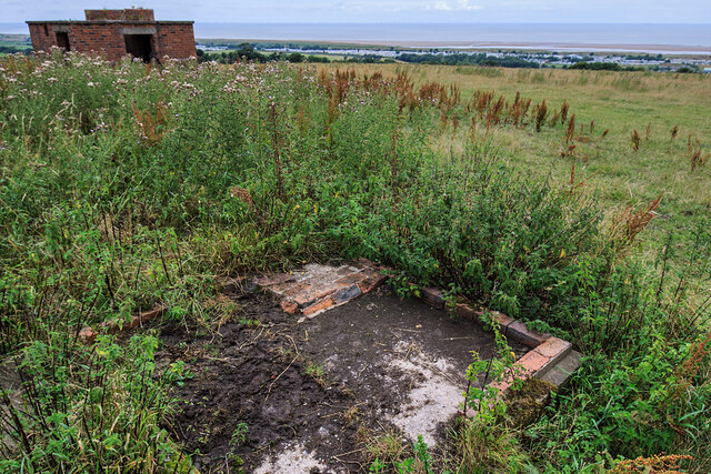
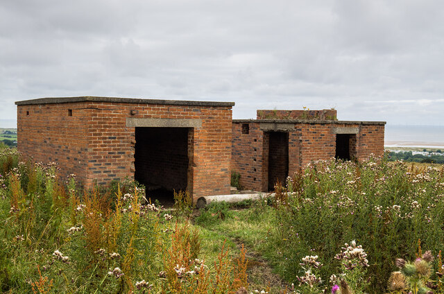
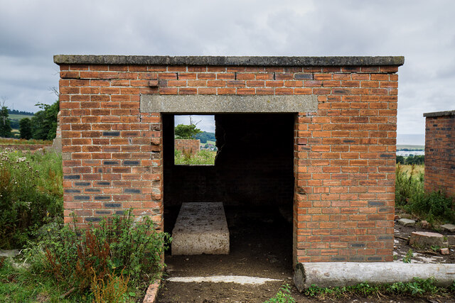
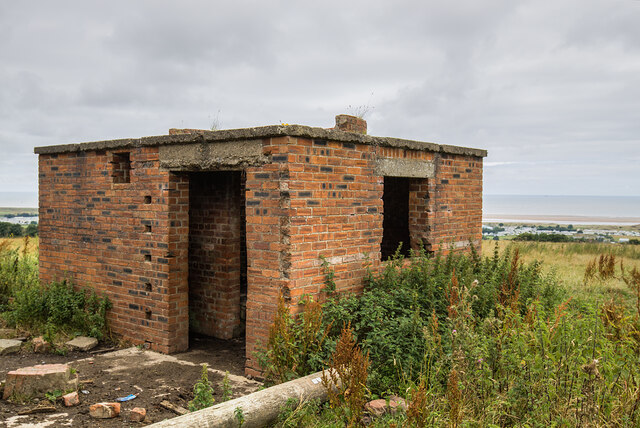
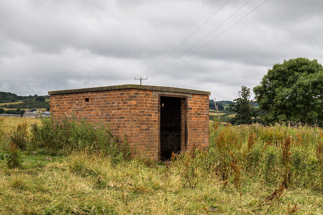
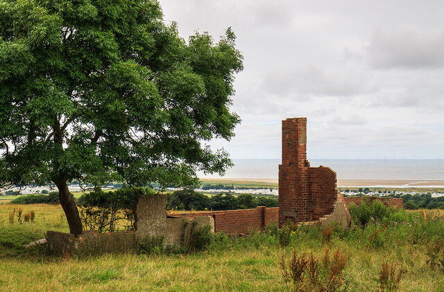
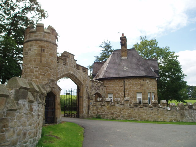
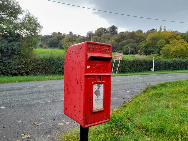
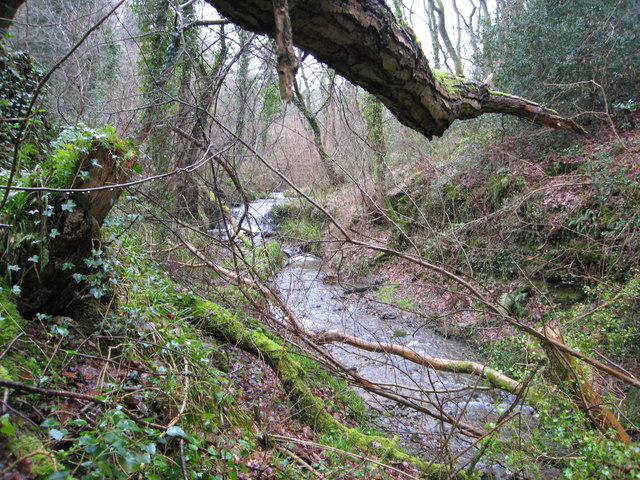
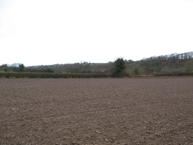
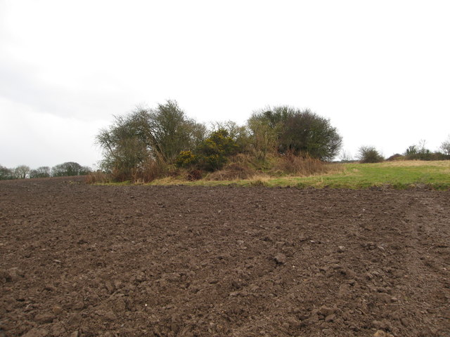
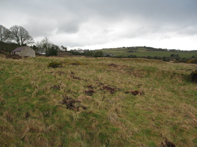
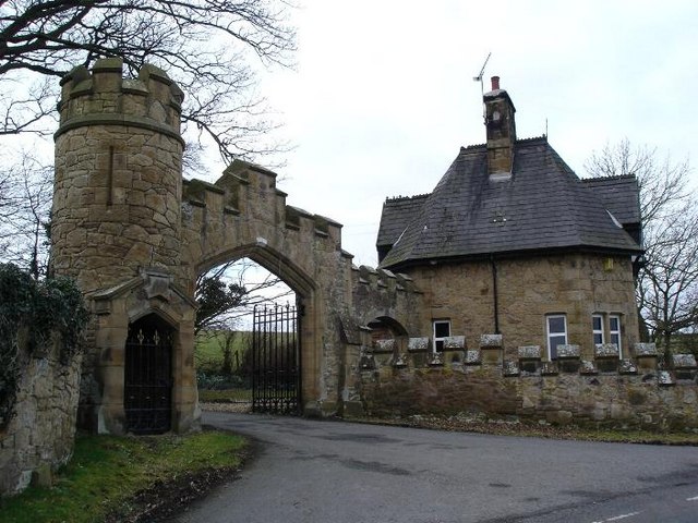
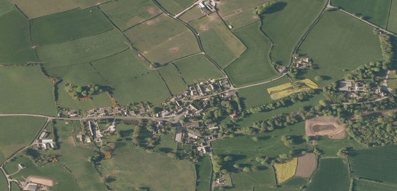
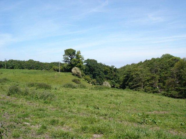
Glan-yr-afon Images

Images are sourced within 2km of 53.323302/-3.326106 or Grid Reference SJ1181. Thanks to Geograph Open Source API. All images are credited.

WWII defences of North Wales: Gwespyr Royal Naval Radar Station  (1) Overlooking the approaches to the mouths of the Dee and Mersey estuaries, the station was primarily used in a surface and coastal watching role, plotting ship movements, and keeping a close watch for enemy submarines. The station was one of only four other stations, all of which were in northern Scotland, and was only operational for a short time between December 1942 and October 1944. It was equipped with a type T273 Coastal Defence centimetric radar using a rotating parabolic dish antenna. Some of the buildings associated with the station still survive, albeit as ruins. The base of what was the guard picket post can be seen here in the foreground at the entrance to the site.

<a href="https://www.geograph.org.uk/photo/6943912">SJ1083 : WWII defences of North Wales: Gwespyr Royal Naval Radar Station  (2)</a>
WWII defences of North Wales: Gwespyr Royal Naval Radar Station (1)
Overlooking the approaches to the mouths of the Dee and Mersey estuaries, the station was primarily used in a surface and coastal watching role, plotting ship movements, and keeping a close watch for enemy submarines. The station was one of only four other stations, all of which were in northern Scotland, and was only operational for a short time between December 1942 and October 1944. It was equipped with a type T273 Coastal Defence centimetric radar using a rotating parabolic dish antenna. Some of the buildings associated with the station still survive, albeit as ruins. The base of what was the guard picket post can be seen here in the foreground at the entrance to the site. SJ1083 : WWII defences of North Wales: Gwespyr Royal Naval Radar Station (2)
WWII defences of North Wales: Gwespyr Royal Naval Radar Station  (2) Two buildings, the one on the left housed the T273 naval CD transmitter/receiver equipment, and on the right, the radar plinth that contained turning gear for a rotating antenna on the roof within the circular brick parapet.

<a href="https://www.geograph.org.uk/photo/6943914">SJ1083 : WWII defences of North Wales: Gwespyr Royal Naval Radar Station  (3)</a>
WWII defences of North Wales: Gwespyr Royal Naval Radar Station (2)
Two buildings, the one on the left housed the T273 naval CD transmitter/receiver equipment, and on the right, the radar plinth that contained turning gear for a rotating antenna on the roof within the circular brick parapet. SJ1083 : WWII defences of North Wales: Gwespyr Royal Naval Radar Station (3)
WWII defences of North Wales: Gwespyr Royal Naval Radar Station  (3) The Tx/Rx building.

<a href="https://www.geograph.org.uk/photo/6943943">SJ1083 : WWII defences of North Wales: Gwespyr Royal Naval Radar Station  (4)</a>
WWII defences of North Wales: Gwespyr Royal Naval Radar Station (3)
WWII defences of North Wales: Gwespyr Royal Naval Radar Station  (4) Radar plinth, the building that housed the turning gear for a roof mounted parabolic antenna.

<a href="https://www.geograph.org.uk/photo/6943957">SJ1083 : WWII defences of North Wales: Gwespyr Royal Naval Radar Station  (5)</a>
WWII defences of North Wales: Gwespyr Royal Naval Radar Station (4)
Radar plinth, the building that housed the turning gear for a roof mounted parabolic antenna. SJ1083 : WWII defences of North Wales: Gwespyr Royal Naval Radar Station (5)
WWII defences of North Wales: Gwespyr Royal Naval Radar Station  (5) Standby power generator building.

<a href="https://www.geograph.org.uk/photo/6943958">SJ1083 : WWII defences of North Wales: Gwespyr Royal Naval Radar Station  (6)</a>
WWII defences of North Wales: Gwespyr Royal Naval Radar Station (5)
WWII defences of North Wales: Gwespyr Royal Naval Radar Station  (6) Remains of the Army guard accommodation.

START: <a href="https://www.geograph.org.uk/photo/6943910">SJ1083 : WWII defences of North Wales: Gwespyr Royal Naval Radar Station  (1)</a>
WWII defences of North Wales: Gwespyr Royal Naval Radar Station (6)
North Lodge, Gyrn Castle
A548 at Tan Lan
A548 at Tan Lan
Postbox by the A548 CH8 29. Royal Mail list this box as 'Tan Y Coed'.
Postbox by the A548
CH8 29. Royal Mail list this box as 'Tan Y Coed'.
Guidepost at road junction, Trelogan WHITFORD
HOLYWELL
GLANRAFON
Guidepost at road junction, Trelogan
WHITFORD HOLYWELL GLANRAFON
Damaged benchmark on derelict building, Trelogan For more details see: <span class="nowrap"><a title="https://www.bench-marks.org.uk/bm180728" rel="nofollow ugc noopener" href="https://www.bench-marks.org.uk/bm180728">Link</a><img style="margin-left:2px;" alt="External link" title="External link - shift click to open in new window" src="https://s1.geograph.org.uk/img/external.png" width="10" height="10"/></span>
Damaged benchmark on derelict building, Trelogan
For more details see: LinkExternal link
Afon-y-Garth in Coed-y-Garth Wood This river runs through delightful ancient woodland owned and managed by the Woodland Trust.  Nearby is a stone lined adit dating back to 1780 - driven to drain water from the former Trelogan lead mine.
Afon-y-Garth in Coed-y-Garth Wood
This river runs through delightful ancient woodland owned and managed by the Woodland Trust. Nearby is a stone lined adit dating back to 1780 - driven to drain water from the former Trelogan lead mine.
Ploughed field McWalters'Dingle to Right and Gyrn Dingle centre/left
Ploughed field
McWalters'Dingle to Right and Gyrn Dingle centre/left
Disused Mineshaft A bit of the field that the farmer cannot plough - this mound hides a mineshaft from the former Trelogan lead and zinc mine which operated from the 18th until the early 20th century.
Disused Mineshaft
A bit of the field that the farmer cannot plough - this mound hides a mineshaft from the former Trelogan lead and zinc mine which operated from the 18th until the early 20th century.
Fields north of Trelogan Whilst the field in the forefront is not currently in agricultural use, it contrasts with the remainder of the land seen.
Fields north of Trelogan
Whilst the field in the forefront is not currently in agricultural use, it contrasts with the remainder of the land seen.
Fields surrounding Trelogan Farm and Berth-y-Maen
Footpath through deciduous woodland Leading south from the A548 coast road between Ffynnongroyw and Tan-Lan in SJ4293
Footpath through deciduous woodland
Leading south from the A548 coast road between Ffynnongroyw and Tan-Lan in SJ4293
Pastureland on the hillside south of Tan-Lan Through the trees Glasdir can be seen left of centre and houses on the road into Pen-y-ffordd right of centre.  Far left there are views across the Dee estuary to the Wirral
Pastureland on the hillside south of Tan-Lan
Through the trees Glasdir can be seen left of centre and houses on the road into Pen-y-ffordd right of centre. Far left there are views across the Dee estuary to the Wirral
Show me another place!

Glan-yr-afon is located at Grid Ref: SJ1181 (Lat: 53.323302, Lng: -3.326106)

Unitary Authority: Flintshire

Police Authority: North Wales

What 3 Words

///toothpick.deeper.spreading. Near Gronant, Flintshire

Nearby Locations

Glan-yr-afon

Related Wikis

Gyrn Castle

Gyrn Castle is a Grade II-listed castellated mansion in Llanasa in Flintshire. == History == It was built between 1817 and 1824 by John Douglas, who incorporated...

Llanasa

Llanasa is a village and community in the county of Flintshire, north-east Wales. Llanasa is described as one of the ancient parishes of Flintshire. It...

Trelogan

Trelogan is a village in Flintshire, north east Wales. It is located between Mostyn and Trelawnyd and is almost contiguous with Berthengam. Trelogan had...

Gwespyr

Gwespyr is a village in Flintshire on the north coast of Wales in the community of Llanasa. Gwespyr had a population of 289 people in the United Kingdom...

Nearby Amenities

Located within 500m of 53.323302,-3.326106
Ref: 25
Lat/Long: 53.3241862/-3.3274694
Glan-yr-afon
Place: village
Lat/Long: 53.3243128/-3.3270832
Power: pole
Lat/Long: 53.3272037/-3.3243707
Power: pole
Lat/Long: 53.3258615/-3.3258104
Power: pole
Lat/Long: 53.3253315/-3.3263743
Power: pole
Lat/Long: 53.3245957/-3.3267607
Power: pole
Lat/Long: 53.3264133/-3.3252436
Barrier: stile
Lat/Long: 53.3260802/-3.3287886
Barrier: stile
Lat/Long: 53.3249933/-3.3253748
The data included in this document is from www.openstreetmap.org. The data is made available under ODbL.

Have you been to Glan-yr-afon?

Leave your review of Glan-yr-afon below (or comments, questions and feedback).