Lochan a' Ghurrabain
Lake, Pool, Pond, Freshwater Marsh in Argyllshire
Scotland
Lochan a' Ghurrabain
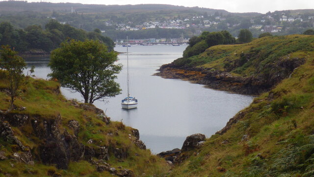
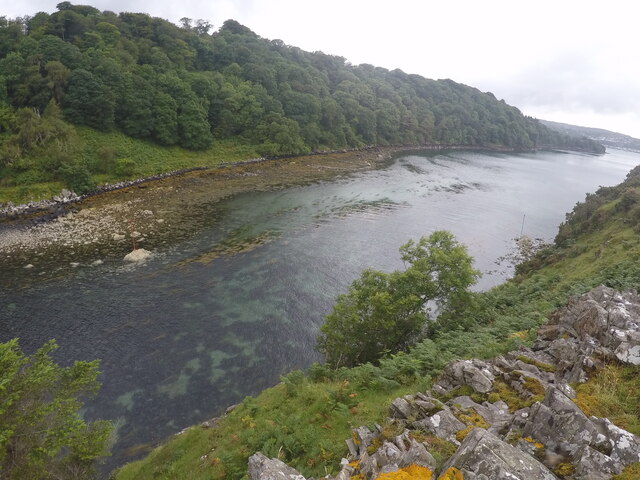
Lochan a' Ghurrabain is a small freshwater loch located in Argyllshire, Scotland. The loch is surrounded by rugged hills and picturesque scenery, making it a popular destination for outdoor enthusiasts and nature lovers.
The loch is known for its crystal clear waters, which are teeming with a variety of fish species such as trout and perch, making it a popular spot for fishing. The surrounding area is also home to a diverse range of wildlife, including otters, herons, and red deer.
Lochan a' Ghurrabain is a peaceful and tranquil spot, perfect for those looking to escape the hustle and bustle of everyday life. Visitors can enjoy a leisurely stroll along the lochside, take in the stunning views, or simply relax and enjoy the peaceful surroundings.
Overall, Lochan a' Ghurrabain is a hidden gem in Argyllshire, offering a unique opportunity to experience the beauty of Scotland's natural landscape. Whether you are a keen angler, a birdwatcher, or simply looking for a peaceful retreat, Lochan a' Ghurrabain has something to offer everyone.
If you have any feedback on the listing, please let us know in the comments section below.
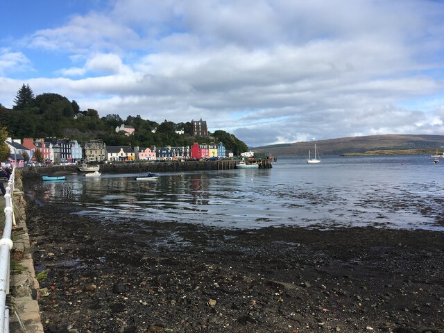
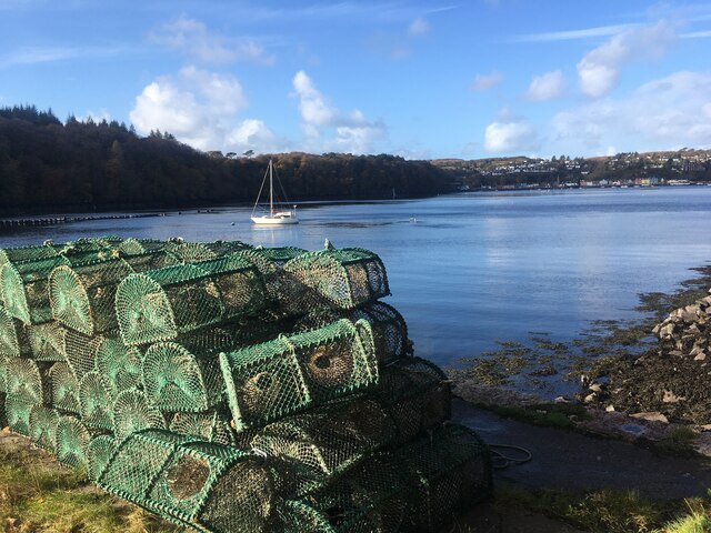
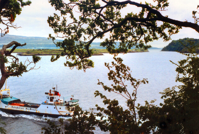
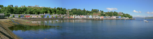
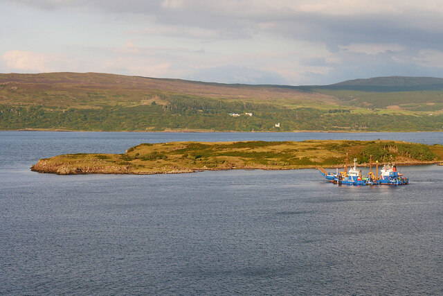
Lochan a' Ghurrabain Images
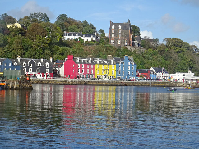
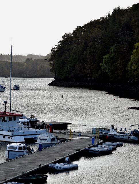
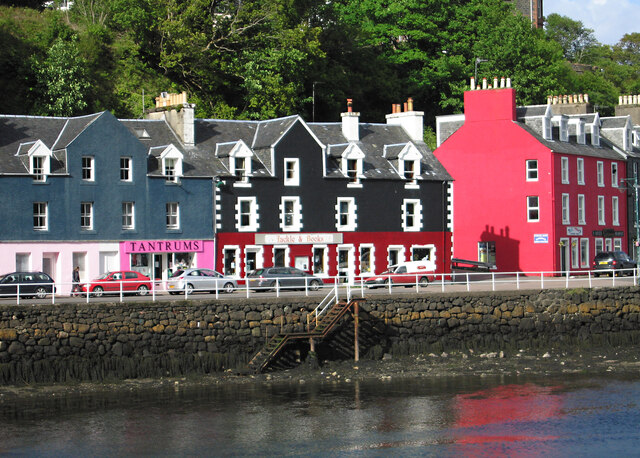
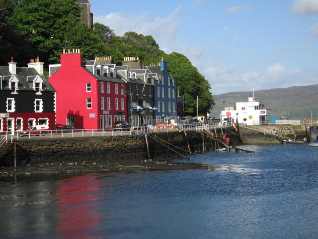
Images are sourced within 2km of 56.610538/-6.0435882 or Grid Reference NM5153. Thanks to Geograph Open Source API. All images are credited.

Lochan a' Ghurrabain is located at Grid Ref: NM5153 (Lat: 56.610538, Lng: -6.0435882)
Unitary Authority: Argyll and Bute
Police Authority: Argyll and West Dunbartonshire
What 3 Words
///nurse.validated.hoping. Near Tobermory, Argyll & Bute
Nearby Locations
Related Wikis

Mull Little Theatre
Mull Little Theatre was a theatre on the Isle of Mull in the Inner Scottish Hebrides. Built from the shell of an old byre (cowshed) in 1963 by Barrie...

Calve Island
Calve Island is an uninhabited low-lying island off the east coast of the Isle of Mull in Argyll and Bute on the west coast of Scotland. A whitewashed...
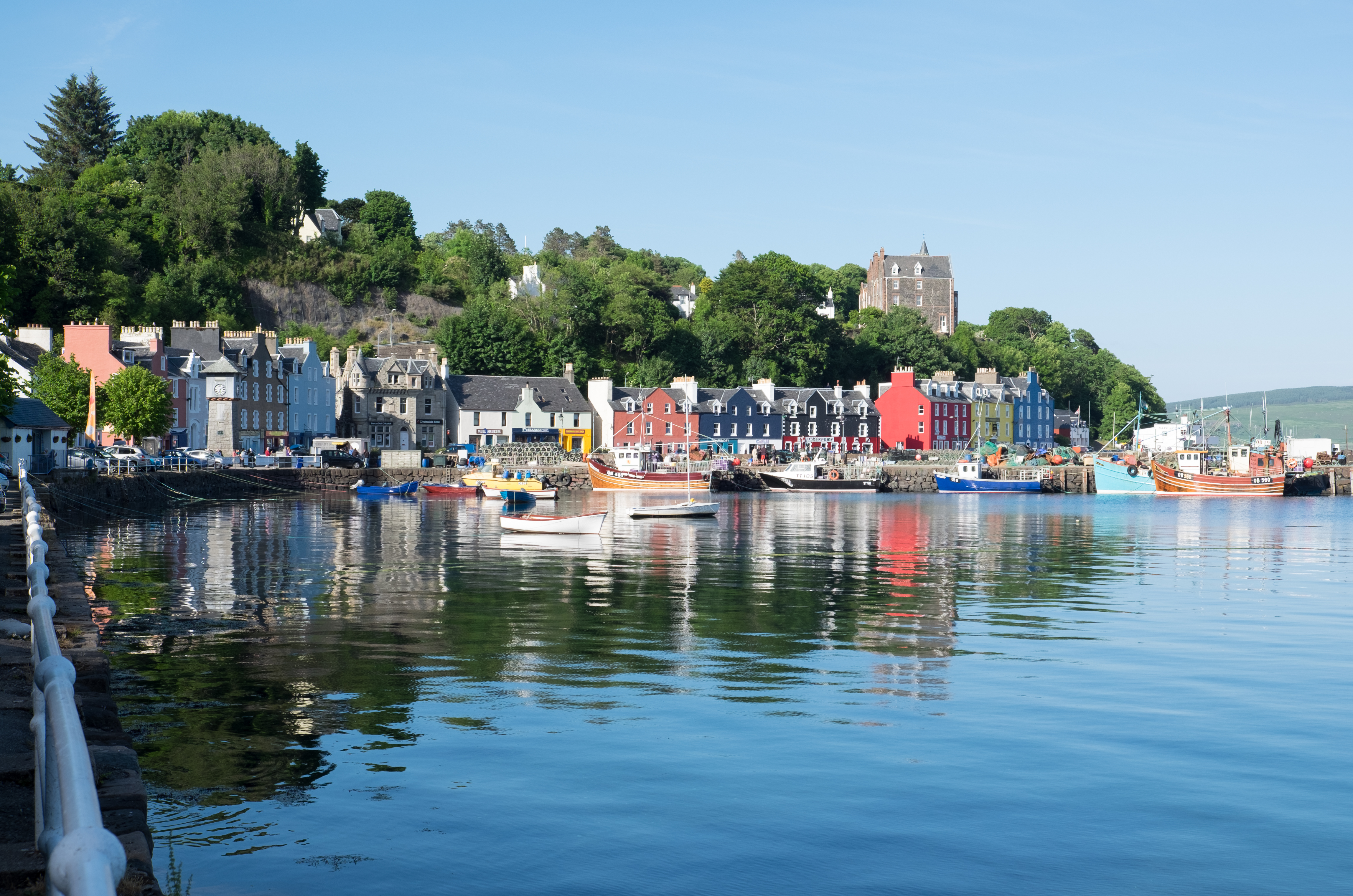
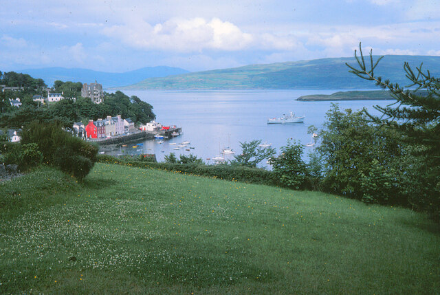
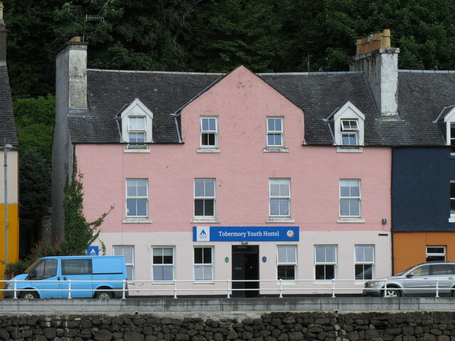
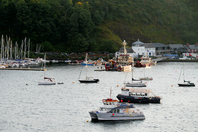
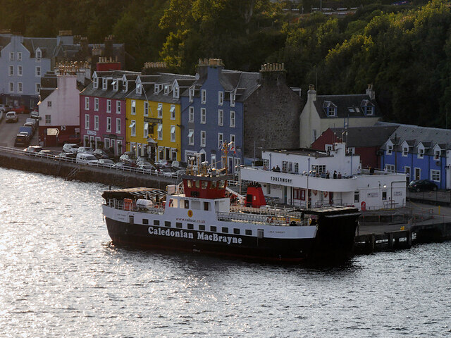
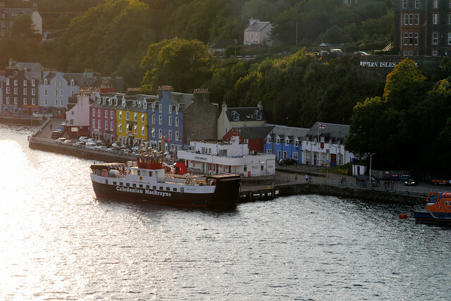
Tobermory, Mull
Tobermory (; Scottish Gaelic: Tobar Mhoire) is the capital of, and until 1973 the only burgh on, the Isle of Mull in the Scottish Inner Hebrides. It is...

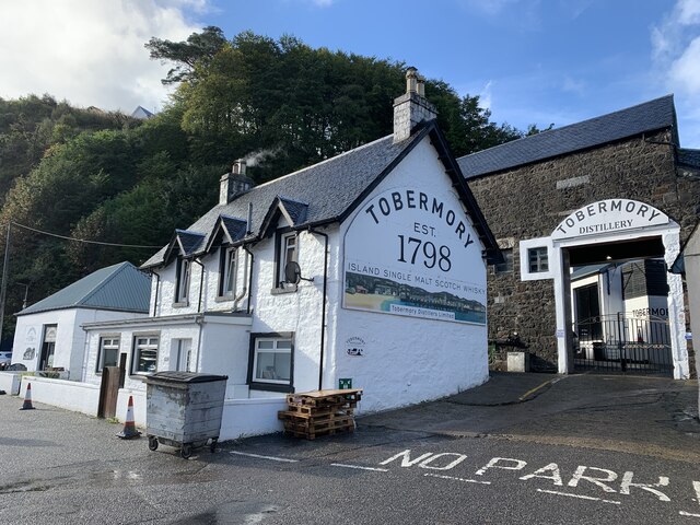
Tobermory distillery
Tobermory distillery is a Scotch whisky distillery situated on the Hebridean island of Mull, Scotland in the town of Tobermory. The distillery, which...
Nearby Amenities
Located within 500m of 56.610538,-6.0435882Have you been to Lochan a' Ghurrabain?
Leave your review of Lochan a' Ghurrabain below (or comments, questions and feedback).