Nance Fishing Lakes
Lake, Pool, Pond, Freshwater Marsh in Cornwall
England
Nance Fishing Lakes
The requested URL returned error: 429 Too Many Requests
If you have any feedback on the listing, please let us know in the comments section below.
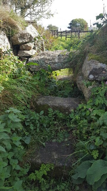
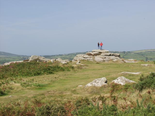
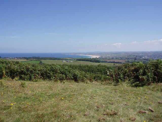
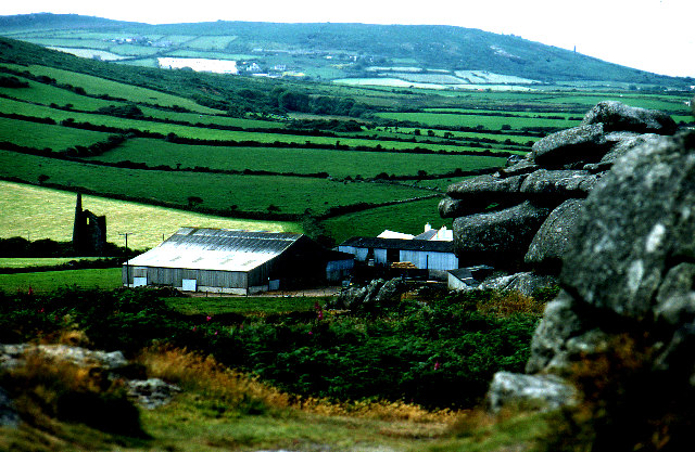
Nance Fishing Lakes Images
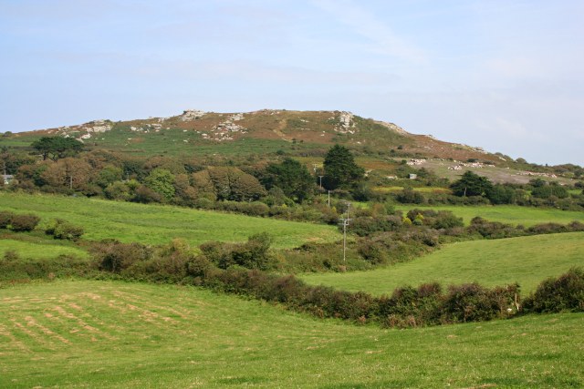
Images are sourced within 2km of 50.184683/-5.4796156 or Grid Reference SW5137. Thanks to Geograph Open Source API. All images are credited.


Nance Fishing Lakes is located at Grid Ref: SW5137 (Lat: 50.184683, Lng: -5.4796156)
Unitary Authority: Cornwall
Police Authority: Devon and Cornwall
What 3 Words
///surprised.array.washed. Near St Ives, Cornwall
Nearby Locations
Related Wikis

Nance, Cornwall
Nance is a hamlet southwest of Carbis Bay in west Cornwall, England. == References ==
Trencrom Hill
Trencrom Hill (or Trecrobben) is a prominent hill fort, owned by the National Trust, near Lelant, Cornwall. It is crowned by an univallate Neolithic tor...

Trink Hill
Trink Hill is a 212-metre-high hill that lies between the hamlets of Trink and Cripplesease, near to the village of Nancledra, Cornwall, UK. Trencrom Hill...

Brunnion
Brunnion is a hamlet between Trencrom and Nancledra in west Cornwall, England, UK. It is in the civil parish of Ludgvan == References ==
Nearby Amenities
Located within 500m of 50.184683,-5.4796156Have you been to Nance Fishing Lakes?
Leave your review of Nance Fishing Lakes below (or comments, questions and feedback).