An Eas
Lake, Pool, Pond, Freshwater Marsh in Argyllshire
Scotland
An Eas

An Eas, located in Argyllshire, Scotland, is a picturesque freshwater marsh nestled amidst the stunning landscape of the region. This natural wonder is a combination of a lake, pool, pond, and marsh, making it a diverse and vibrant ecosystem. Spanning an area of approximately 10 acres, An Eas offers a tranquil retreat where visitors can immerse themselves in the serene beauty of nature.
The marsh is surrounded by lush greenery, with tall reeds and grasses that provide a perfect habitat for a variety of bird species, including herons, ducks, and swans. These birds can often be seen gracefully gliding across the water or perched on the marsh's edges, adding to the enchanting atmosphere.
The clear and calm waters of An Eas are home to a range of aquatic life. Fish such as trout and perch can be found swimming beneath the surface, while water insects and invertebrates thrive in the marsh's shallow areas. These diverse species contribute to the delicate balance of the ecosystem, creating a haven for both wildlife enthusiasts and researchers alike.
The surrounding landscape of An Eas boasts breathtaking views, with rolling hills and majestic mountains forming a picturesque backdrop. Visitors can take leisurely walks along the marsh's edges, observing the rich biodiversity and enjoying the tranquility of the surroundings.
An Eas, Argyllshire, offers a unique and captivating experience for those seeking to connect with nature. Whether it's birdwatching, fishing, or simply taking in the awe-inspiring scenery, this remarkable freshwater marsh is a true gem in the heart of Scotland.
If you have any feedback on the listing, please let us know in the comments section below.
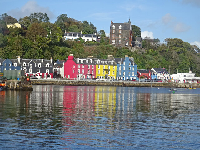
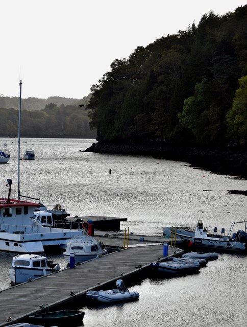
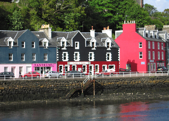
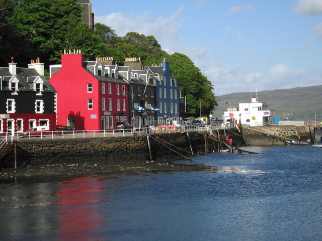
An Eas Images
Images are sourced within 2km of 56.618968/-6.071567 or Grid Reference NM5054. Thanks to Geograph Open Source API. All images are credited.

An Eas is located at Grid Ref: NM5054 (Lat: 56.618968, Lng: -6.071567)
Unitary Authority: Argyll and Bute
Police Authority: Argyll and West Dunbartonshire
What 3 Words
///sheepish.windy.scared. Near Tobermory, Argyll & Bute
Nearby Locations
Related Wikis
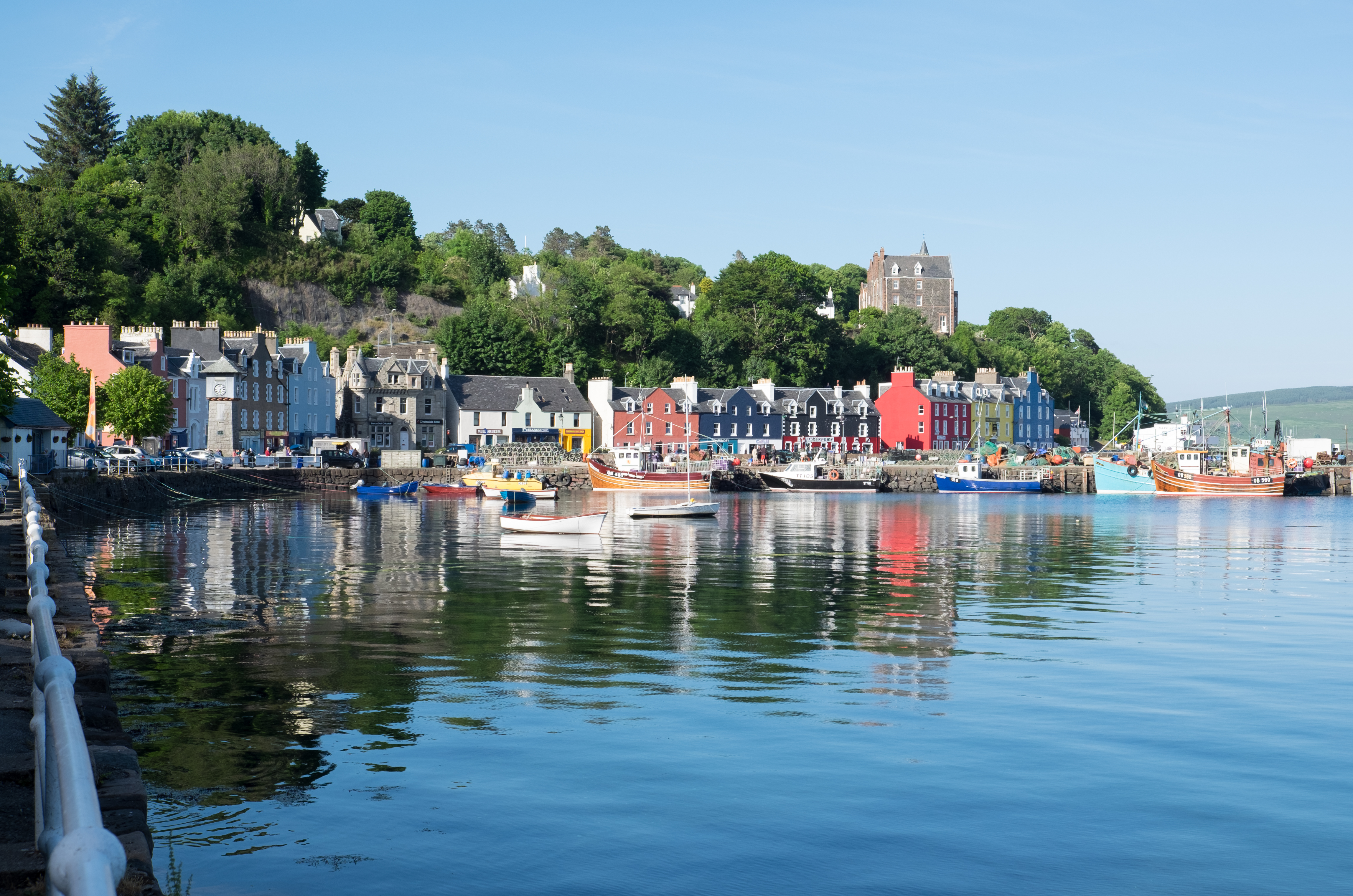
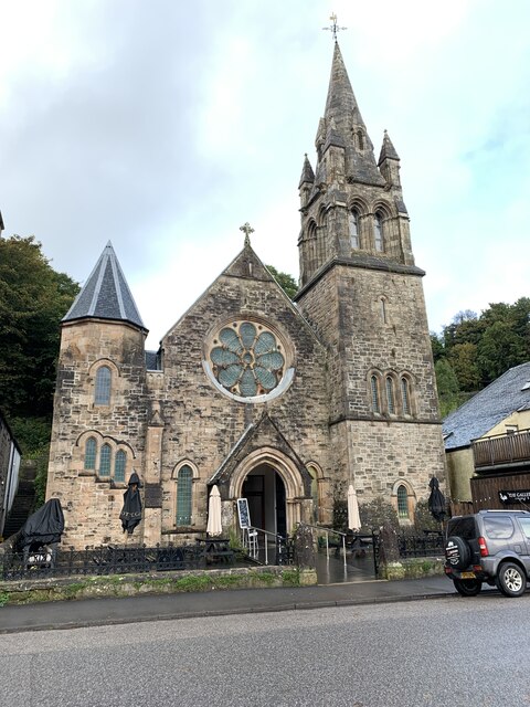
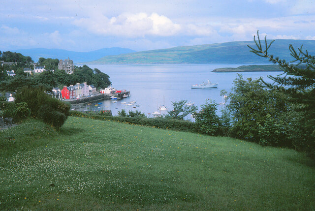
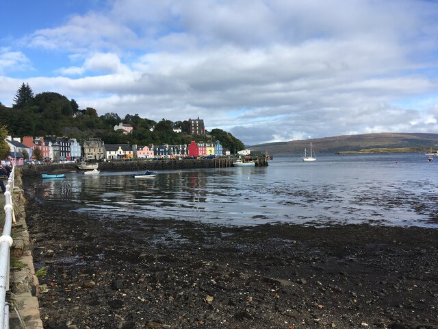
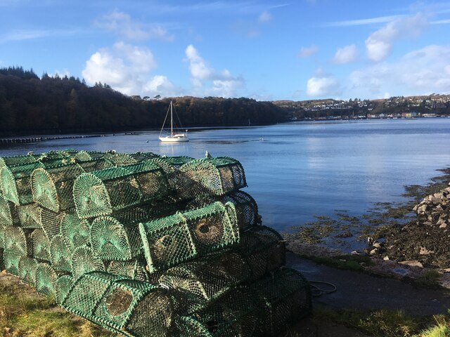
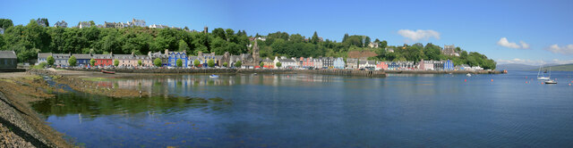
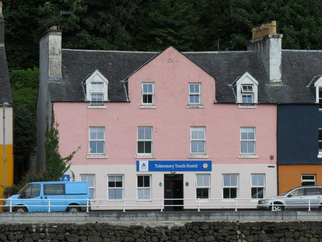
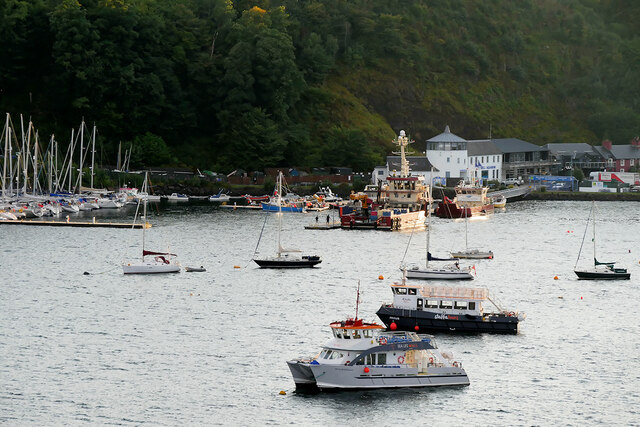
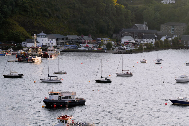
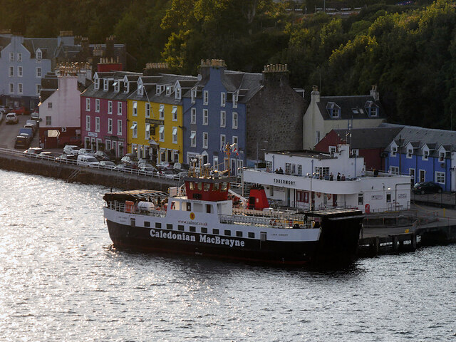
Tobermory, Mull
Tobermory (; Scottish Gaelic: Tobar Mhoire) is the capital of, and until 1973 the only burgh on, the Isle of Mull in the Scottish Inner Hebrides. It is...

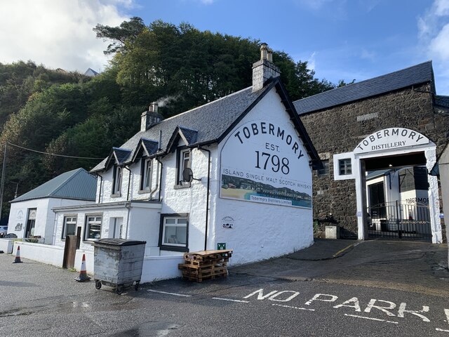
Tobermory distillery
Tobermory distillery is a Scotch whisky distillery situated on the Hebridean island of Mull, Scotland in the town of Tobermory. The distillery, which...

Tobermory High School
Tobermory High School (Scottish Gaelic: Àrd-sgoil Thobar Mhoire) is the only secondary school on the Isle of Mull. It is located in Tobermory, at the northern...

Calve Island
Calve Island is an uninhabited low-lying island off the east coast of the Isle of Mull in Argyll and Bute on the west coast of Scotland. A whitewashed...

Rubha nan Gall
Rubha nan Gall lighthouse is located north of Tobermory on the Isle of Mull beside the Sound of Mull. The name means "Stranger's Point" in Scottish Gaelic...

Mull Little Theatre
Mull Little Theatre was a theatre on the Isle of Mull in the Inner Scottish Hebrides. Built from the shell of an old byre (cowshed) in 1963 by Barrie...

Battle of Bloody Bay
The Battle of Bloody Bay, or Blàr Bàgh na Fala in Scottish Gaelic, was a naval battle fought near Tobermory, Scotland. It was fought on the coast of Mull...

Bonnavoulin
Bonnavoulin or Bunavullin (Scottish Gaelic: Bun a Mhuilinn) is a village on the Morvern peninsula in the Highlands of Scotland. Situated at the northern...
Nearby Amenities
Located within 500m of 56.618968,-6.071567Have you been to An Eas?
Leave your review of An Eas below (or comments, questions and feedback).