Girthon

Settlement in Kirkcudbrightshire

Scotland

Girthon

Cally Wood Looks peaceful, but the A75 lurks not too far into the trees.
Cally Wood Credit: Richard Webb

Girthon is a small village located in the county of Kirkcudbrightshire, in southwest Scotland. Situated approximately 3 miles northwest of the town of Gatehouse of Fleet, Girthon lies within the picturesque Dumfries and Galloway region.

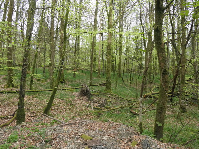
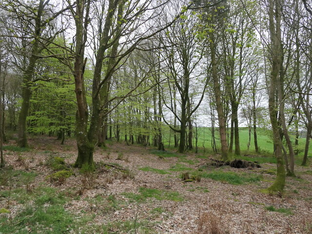
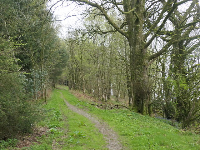
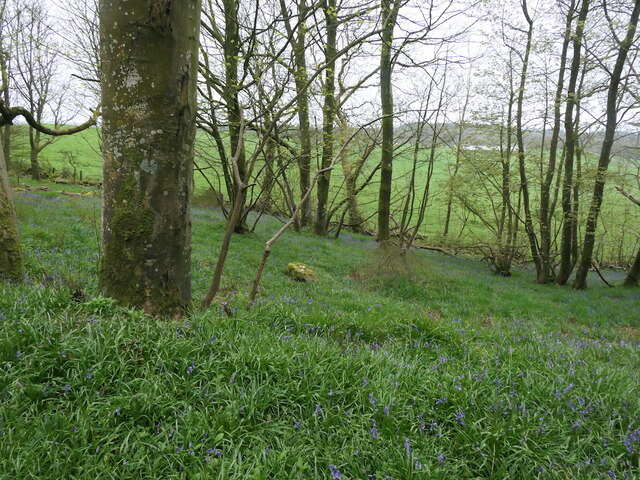
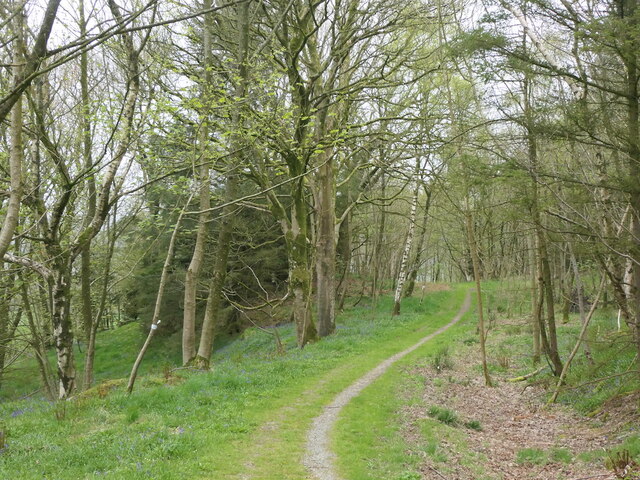
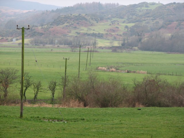
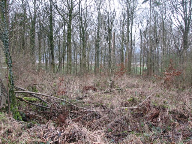
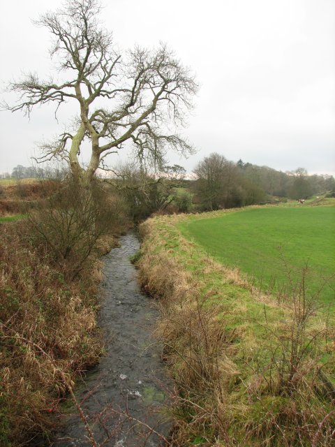
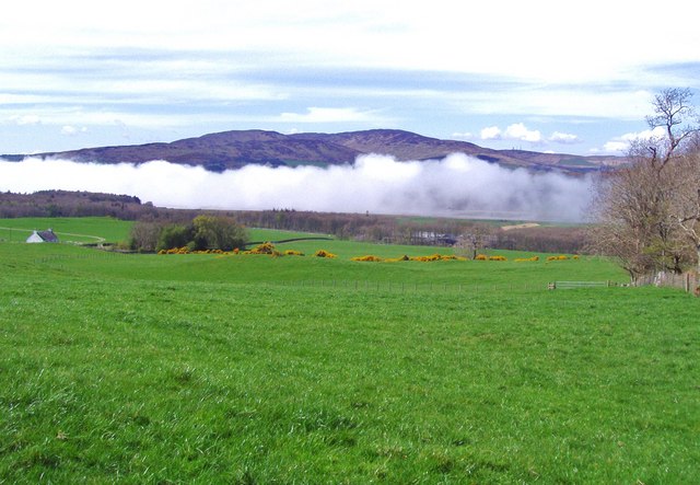
The village is known for its rural charm, surrounded by rolling hills, lush green fields, and scenic landscapes. The area is renowned for its natural beauty, attracting tourists and nature enthusiasts alike. The nearby Loch Ken provides opportunities for fishing, boating, and water sports, while the Galloway Forest Park offers numerous walking trails and wildlife spotting opportunities.

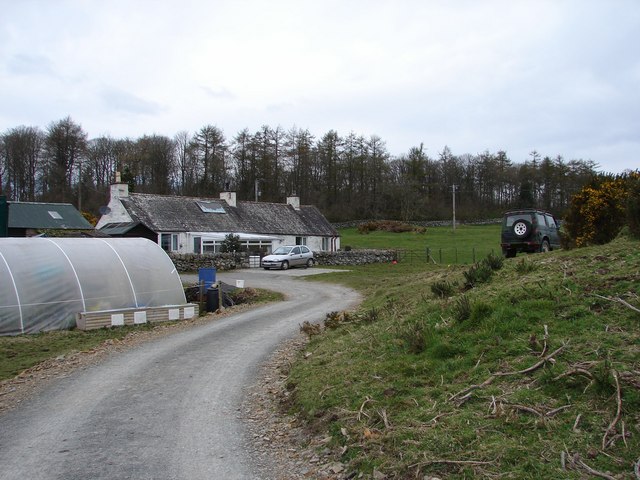
Girthon is home to a close-knit community, with a population of around 200 residents. The village features a few local amenities, including a primary school, a village hall, and a church. The residents take pride in their community, organizing various events and activities throughout the year.

The area is rich in history, with several historical landmarks and sites of interest nearby. Cardoness Castle, a well-preserved 15th-century tower house, is just a short distance away and offers visitors a glimpse into the region's past. Additionally, the nearby Threave Castle, a 14th-century fortress located on an island in the River Dee, is a popular attraction for history enthusiasts.

Overall, Girthon is a peaceful and picturesque village, offering a tranquil escape for those seeking to immerse themselves in Scotland's natural beauty and rich history.

If you have any feedback on the listing, please let us know in the comments section below.

Girthon Images

Images are sourced within 2km of 54.857295/-4.173347 or Grid Reference NX6053. Thanks to Geograph Open Source API. All images are credited.

Cally Wood Looks peaceful, but the A75 lurks not too far into the trees.
Cally Wood
Looks peaceful, but the A75 lurks not too far into the trees.
Cally Wood Edge of the woodland near to Cally Mains.
Cally Wood
Edge of the woodland near to Cally Mains.
Track on Bar Hill Becomes a newly surfaced road further on.
Track on Bar Hill
Becomes a newly surfaced road further on.
Bar Hill Plantation Part of the Cally woodlands.
Bar Hill Plantation
Part of the Cally woodlands.
Path on Bar Hill It has been modernised a short distance to the east.
Path on Bar Hill
It has been modernised a short distance to the east.
Cally Palace Hotel, Gatehouse of Fleet The Cally Palace Hotel at Gatehouse of Fleet is in both gridsquare NX6054 and NX5954.  This image is taken from gridsquare NX5954 with the boundary with square NX6054 being just past the central part of the building with the right hand wing being in that gridsquare.
Cally Palace Hotel, Gatehouse of Fleet
The Cally Palace Hotel at Gatehouse of Fleet is in both gridsquare NX6054 and NX5954. This image is taken from gridsquare NX5954 with the boundary with square NX6054 being just past the central part of the building with the right hand wing being in that gridsquare.
Cally Palace The Hotel taken from nearby Cardoness Castle
Cally Palace
The Hotel taken from nearby Cardoness Castle
Fields by Cally Mains Looking across flat fields by the head of the Fleet Bay estuary towards Boreland Hills.
Fields by Cally Mains
Looking across flat fields by the head of the Fleet Bay estuary towards Boreland Hills.
Cally Mains Wood Mixed woodland by the track linking Cally Mains with Sandgreen, which just cuts across the corner of the square.
Cally Mains Wood
Mixed woodland by the track linking Cally Mains with Sandgreen, which just cuts across the corner of the square.
Boreland Burn Small burn viewed from a bridge on the Clauchan to Sandgreen road.
Boreland Burn
Small burn viewed from a bridge on the Clauchan to Sandgreen road.
Syllodioch Syllodioch cottage near Girthon. Behind is Syllodioch Wood, part of the Galloway Forest Park.
Syllodioch
Syllodioch cottage near Girthon. Behind is Syllodioch Wood, part of the Galloway Forest Park.
Cream o' Galloway, Rainton Ice Cream Parlour, tearoom, adventure playground, farm, dog walks, nature trails and cycle paths. All you need now is some warm weather!
Cream o' Galloway, Rainton
Ice Cream Parlour, tearoom, adventure playground, farm, dog walks, nature trails and cycle paths. All you need now is some warm weather!
Cream o’ Galloway - Adventure Playground Adventure playground at Cream o' Galloway, Rainton.
Cream o’ Galloway - Adventure Playground
Adventure playground at Cream o' Galloway, Rainton.
Underpass under the A75 at Gatehouse of Fleet This is an underpass that goes under the A75 at Gatehouse of Fleet.  It takes the stream and the path that goes from Cally woods to Bar Hill Woods.
Underpass under the A75 at Gatehouse of Fleet
This is an underpass that goes under the A75 at Gatehouse of Fleet. It takes the stream and the path that goes from Cally woods to Bar Hill Woods.
Cally Palace Hotel, Gatehouse of Fleet The hotel is in two gridsquares the left hand side in square NX5954 and the right hand side gridsquare NX6054.
Cally Palace Hotel, Gatehouse of Fleet
The hotel is in two gridsquares the left hand side in square NX5954 and the right hand side gridsquare NX6054.
A75 Underpass The underpass between the Cally Mains Farm and The Cally Palace Hotel.
A75 Underpass
The underpass between the Cally Mains Farm and The Cally Palace Hotel.
Fields adjacent to Bar Hill Woods These fields lie next to Bar Hill Woods. Across the field, to the left, is the cottage, Cuffieton.  In the middle distance one can see Cally Mains farm.  A low-lying cloud hugs the River Fleet.  The highest of the distant hills is Cairnharrow.  To the left, and in front, are Barholm Hill, Ben John and Mill Knock.
Fields adjacent to Bar Hill Woods
These fields lie next to Bar Hill Woods. Across the field, to the left, is the cottage, Cuffieton. In the middle distance one can see Cally Mains farm. A low-lying cloud hugs the River Fleet. The highest of the distant hills is Cairnharrow. To the left, and in front, are Barholm Hill, Ben John and Mill Knock.
The edge of Bar Hill Woods This is the southern edge of Bar Hill Woods.  In the far distance the A75 can be seen as it crosses the River Fleet.
The edge of Bar Hill Woods
This is the southern edge of Bar Hill Woods. In the far distance the A75 can be seen as it crosses the River Fleet.
Show me another place!

Girthon is located at Grid Ref: NX6053 (Lat: 54.857295, Lng: -4.173347)

Unitary Authority: Dumfries and Galloway

Police Authority: Dumfries and Galloway

What 3 Words

///snooze.fuss.flick. Near Kirkcudbright, Dumfries & Galloway

Nearby Locations

Bar Hill Girthon

Related Wikis

Girthon Old Parish Church

Girthon Old Parish Church is a ruined ecclesiastical building in Girthon, near Gatehouse of Fleet in Dumfries and Galloway. Built around 1620 on the foundations...
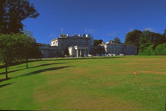
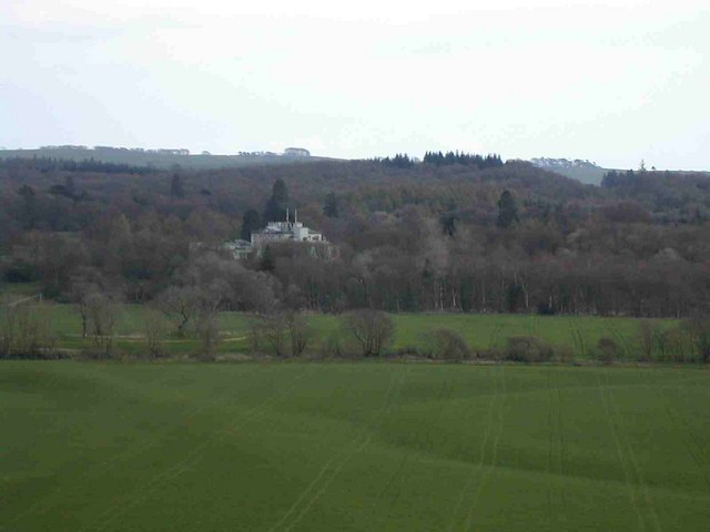
Cally Palace

Cally Palace, formerly known as Cally House, is an 18th-century country house in the historical county of Kirkcudbrightshire in Dumfries and Galloway...

Cardoness Castle

Cardoness Castle is a well-preserved 15th-century tower house just south west of Gatehouse of Fleet, in the historical county of Kirkcudbrightshire in...

Ardwall House

Ardwall House is an eighteenth-century mansion near Gatehouse of Fleet in Dumfries and Galloway, Scotland. Built in 1762 for the McCullochs of Ardwall...

Nearby Amenities

Located within 500m of 54.857295,-4.173347
Power: pole
Lat/Long: 54.8598976/-4.1684576
Power: pole
Lat/Long: 54.8592115/-4.1691178
Power: pole
Lat/Long: 54.8585535/-4.1697617
Power: pole
Lat/Long: 54.8579949/-4.1703122
Power: pole
Lat/Long: 54.8573141/-4.1709771
Power: pole
Lat/Long: 54.856875/-4.1714016
The data included in this document is from www.openstreetmap.org. The data is made available under ODbL.

Have you been to Girthon?

Leave your review of Girthon below (or comments, questions and feedback).