An Eallaich

Lake, Pool, Pond, Freshwater Marsh in Ross-shire

Scotland

An Eallaich

Power line, Cnoc Dubh, Isle of Lewis Looking towards the village of Bac and beyond to Broad Bay/Loch a Tuath and the Eye Peninsula.
Power line, Cnoc Dubh, Isle of Lewis Credit: Claire Pegrum

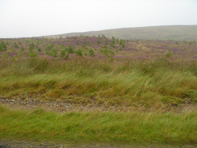
An Eallaich is a picturesque freshwater marsh located in Ross-shire, Scotland. Nestled amidst the rolling hills and lush greenery, it offers a serene and tranquil environment that attracts both locals and tourists alike.

Covering an area of approximately 2 hectares, An Eallaich is characterized by its diverse range of aquatic habitats, including a lake, pool, pond, and marsh. These interconnected water bodies are fed by natural springs and rainfall, ensuring a constant supply of fresh water throughout the year.

The lake, with its crystal-clear waters, is the main attraction of An Eallaich. It provides a habitat for various species of fish, such as trout and perch, making it a popular spot for fishing enthusiasts. The pool and pond, on the other hand, are home to a rich array of aquatic plants and invertebrates, creating a vibrant ecosystem that supports a wide range of wildlife.

The surrounding freshwater marsh acts as a natural filter, purifying the water and providing a breeding ground for many species of amphibians, including frogs and newts. The marsh also supports a variety of plant life, such as reeds, water lilies, and sedges, creating a visually stunning landscape.

An Eallaich is not only a haven for wildlife but also a popular destination for nature lovers. Its tranquil setting and breathtaking views make it an ideal spot for birdwatching, photography, or simply enjoying a peaceful walk amidst nature.

In conclusion, An Eallaich in Ross-shire is a captivating freshwater marsh that offers a diverse range of aquatic habitats and supports a rich array of wildlife. Its natural beauty and serene ambiance make it a must-visit destination for those seeking a peaceful retreat in the heart of Scotland.

If you have any feedback on the listing, please let us know in the comments section below.

An Eallaich Images

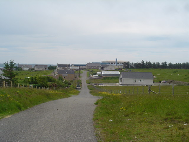
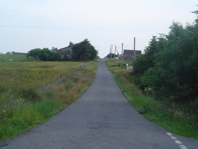
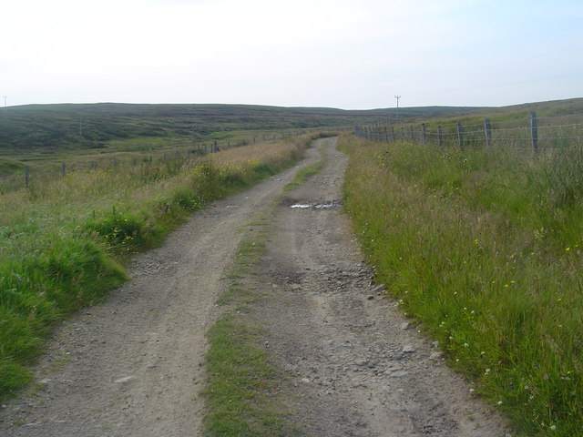
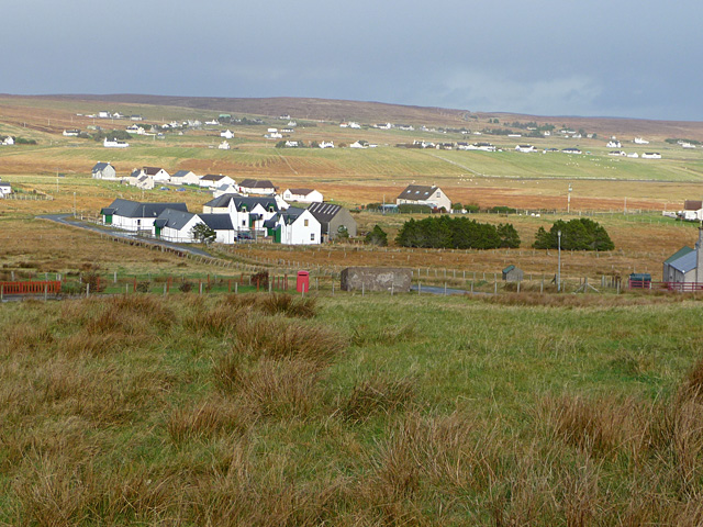
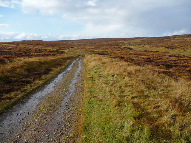
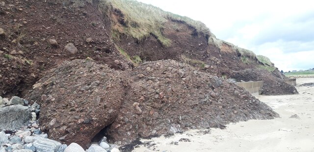
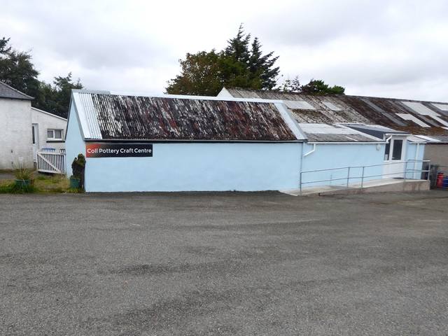
Images are sourced within 2km of 58.283679/-6.3299404 or Grid Reference NB4640. Thanks to Geograph Open Source API. All images are credited.

Power line, Cnoc Dubh, Isle of Lewis Looking towards the village of Bac and beyond to Broad Bay/Loch a Tuath and the Eye Peninsula.
Power line, Cnoc Dubh, Isle of Lewis
Looking towards the village of Bac and beyond to Broad Bay/Loch a Tuath and the Eye Peninsula.
Back School Road A view looking along Back School Road towards the school. The school is a combined Primary and S1-S2 school with around 200 pupils.
Back School Road
A view looking along Back School Road towards the school. The school is a combined Primary and S1-S2 school with around 200 pupils.
New Street, Back New Street passing under some trees. Trees are not common on Lewis so this view makes a pleasant change from open moorland.
New Street, Back
New Street passing under some trees. Trees are not common on Lewis so this view makes a pleasant change from open moorland.
Outend Coll Village Road and Houses The narrow single track road which loops round the village of Outend Coll.
Outend Coll Village Road and Houses
The narrow single track road which loops round the village of Outend Coll.
Peat Track, Outend Coll A peat track leading into the Lewis moor from Outend Coll.
Peat Track, Outend Coll
A peat track leading into the Lewis moor from Outend Coll.
Community Waste Facility Community waste skip on the Back Common Grazings
Community Waste Facility
Community waste skip on the Back Common Grazings
Back Common Grazings Crofter Forestry Scheme Part of 113ha of mixed woodland planted between 2002 and 2004 on the Back Common Grazings. In the area shown the planting is of native broadleaves with Lodgepole Pine nurse trees. This is a successful crofter forestry scheme where the trees are already well-established.
Back Common Grazings Crofter Forestry Scheme
Part of 113ha of mixed woodland planted between 2002 and 2004 on the Back Common Grazings. In the area shown the planting is of native broadleaves with Lodgepole Pine nurse trees. This is a successful crofter forestry scheme where the trees are already well-established.
Loch Ullabhat a Deas
Peat road in Gleann Druim Niavaig Access to the peat from the settlement of Bac.
Peat road in Gleann Druim Niavaig
Access to the peat from the settlement of Bac.
Track back to Bac This track in Gleann Druim Niavaig is one of several peat roads above the settlements on the east coast of north Lewis.
Track back to Bac
This track in Gleann Druim Niavaig is one of several peat roads above the settlements on the east coast of north Lewis.
Telephone box in Bac Viewed from the road by Cnoc an t-Solais.
Telephone box in Bac
Viewed from the road by Cnoc an t-Solais.
Peat road above Cnoc an t-Solais One of many running inland from the east coast settlements.
Peat road above Cnoc an t-Solais
One of many running inland from the east coast settlements.
Track above Bac Looking towards Cnoc an t-Solais from one of the tracks that access the peat moors above Bac.
Track above Bac
Looking towards Cnoc an t-Solais from one of the tracks that access the peat moors above Bac.
Conglomerate cliff and sea defences at Tràigh Chuil
Coll Pottery Craft Centre Behind this unpromising exterior, a variety of craft products on sale and a small cafe.
Coll Pottery Craft Centre
Behind this unpromising exterior, a variety of craft products on sale and a small cafe.
B895 through Coll The road to Tolsta.
B895 through Coll
The road to Tolsta.
Stream and Glen, Upper Coll This stream runs through the village of Upper Coll in a narrow, steep sided glen. A waste water pipe can be seen crossing it at this point.
Stream and Glen, Upper Coll
This stream runs through the village of Upper Coll in a narrow, steep sided glen. A waste water pipe can be seen crossing it at this point.
Houses in Upper Coll A steep section of the Upper Coll loop road with a few houses, one of them still under construction.
Houses in Upper Coll
A steep section of the Upper Coll loop road with a few houses, one of them still under construction.
Show me another place!

An Eallaich is located at Grid Ref: NB4640 (Lat: 58.283679, Lng: -6.3299404)

Unitary Authority: Na h-Eileanan an Iar

Police Authority: Highlands and Islands

What 3 Words

///hoops.leaky.alarmed. Near Stornoway, Na h-Eileanan Siar

Nearby Locations

An Eallaich

Related Wikis

Coll, Lewis

Coll (Scottish Gaelic: Col) is a farming settlement near Stornoway, on the Isle of Lewis in the Outer Hebrides, Scotland. Coll is situated on the B895...

Back, Lewis

Back (Scottish Gaelic: Am Bac) is a district and a village on the east coast of the Isle of Lewis in the Outer Hebrides, Scotland, situated on a coastal...

Breivig

Breivig (Scottish Gaelic: Brèibhig) is a village on Lewis in the Outer Hebrides, Scotland. Breivig is within the parish of Stornoway.According to Magne...

Gress

Gress (Scottish Gaelic: Griais), a hamlet on the Isle of Lewis in Scotland, is adjacent to the larger village of Back. Gress is within the parish of Stornoway...

Nearby Amenities

Located within 500m of 58.283679,-6.3299404
Power: pole
Lat/Long: 58.2810875/-6.3238617
Power: pole
Lat/Long: 58.2808779/-6.325303
Power: pole
Lat/Long: 58.280629/-6.3267902
Power: pole
Lat/Long: 58.2804329/-6.3281296
Power: pole
Lat/Long: 58.2802142/-6.3295819
Power: pole
Lat/Long: 58.2799917/-6.3308904
Power: pole
Lat/Long: 58.2797757/-6.3322288
Power: pole
Lat/Long: 58.2795919/-6.3333579
The data included in this document is from www.openstreetmap.org. The data is made available under ODbL.

Have you been to An Eallaich?

Leave your review of An Eallaich below (or comments, questions and feedback).