Linne a' Ghlinne

Lake, Pool, Pond, Freshwater Marsh in Ross-shire

Scotland

Linne a' Ghlinne

Shore at  Cuidhir Rocky shoreline backed by equally rocky hills at the Cuidhir road end.
Shore at Cuidhir Credit: Colin Smith

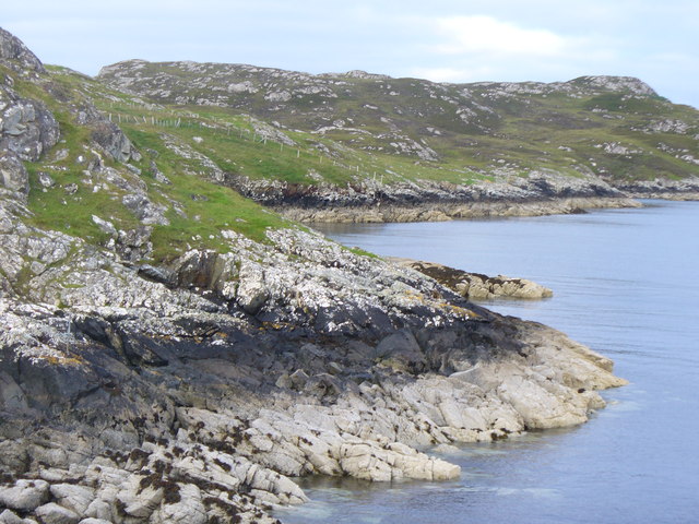
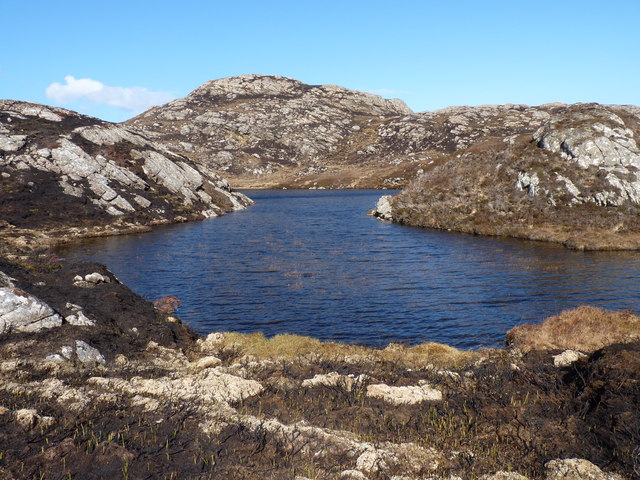
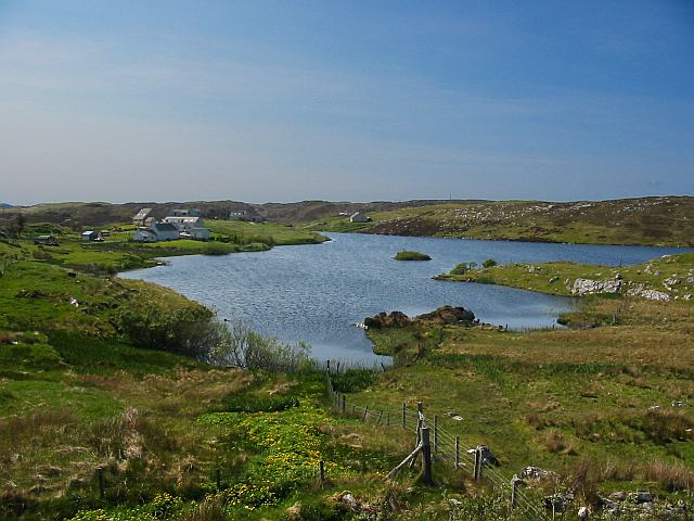
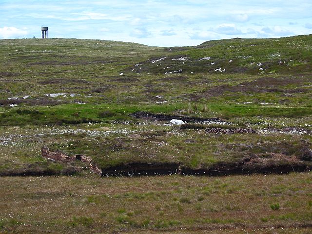
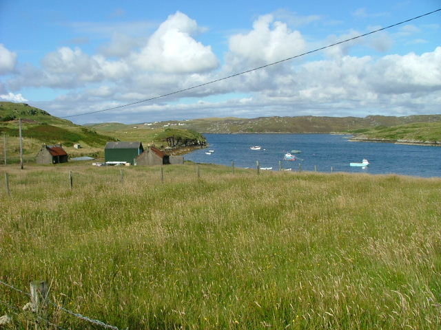
Linne a' Ghlinne is a picturesque freshwater marsh located in Ross-shire, Scotland. It is a serene and tranquil spot, known for its natural beauty and diverse ecosystem. The name Linne a' Ghlinne translates to "lake of the glen" in Gaelic, perfectly capturing the essence of this enchanting location.

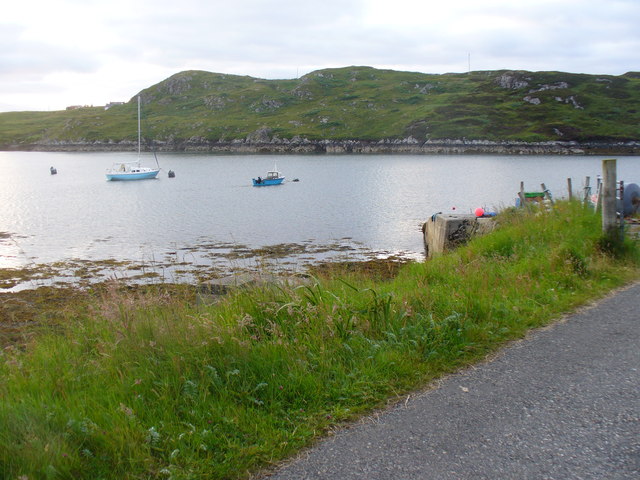
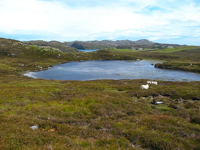
The marsh is situated amidst rolling hills and lush greenery, creating a stunning backdrop for visitors to enjoy. It is a relatively small body of water, resembling a pond or pool, with a surface area of approximately one acre. Despite its size, it is teeming with life, making it a haven for wildlife enthusiasts and nature lovers.

The freshwater marsh is home to a wide variety of plant and animal species. Its rich vegetation includes reeds, rushes, and water lilies, providing a habitat for numerous insects, birds, and small mammals. Visitors can often spot dragonflies gliding gracefully above the water, while herons and other waterfowl can be seen wading along the marsh's edges.

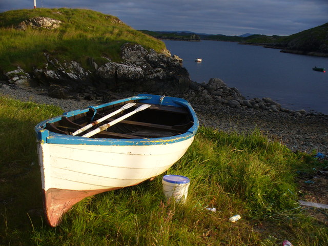
The calm and peaceful atmosphere of Linne a' Ghlinne makes it a popular spot for fishing and birdwatching. Anglers can try their luck at catching trout or salmon, while birdwatchers can marvel at the diverse bird species that frequent the area, including ducks, swans, and various songbirds.

Overall, Linne a' Ghlinne is a hidden gem in Ross-shire, offering visitors a chance to connect with nature and experience the serenity of a freshwater marsh. Its natural beauty and abundant wildlife make it a must-visit destination for anyone seeking a peaceful retreat in the Scottish Highlands.

If you have any feedback on the listing, please let us know in the comments section below.

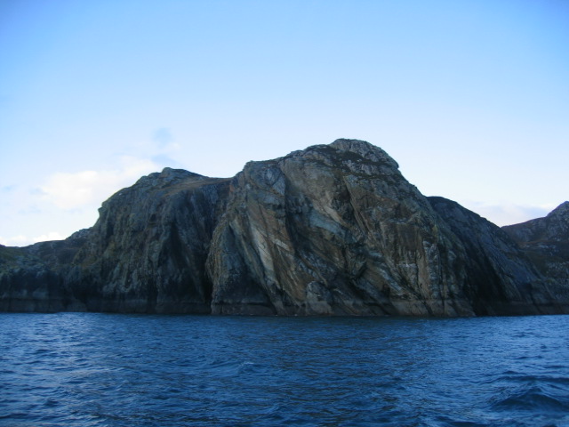
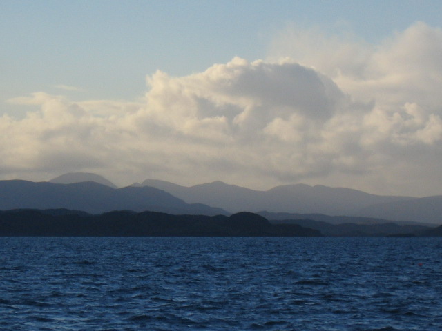
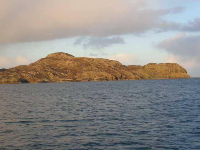
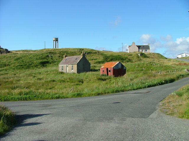
Linne a' Ghlinne Images

Images are sourced within 2km of 58.140663/-6.3807099 or Grid Reference NB4225. Thanks to Geograph Open Source API. All images are credited.

Shore at  Cuidhir Rocky shoreline backed by equally rocky hills at the Cuidhir road end.
Shore at Cuidhir
Rocky shoreline backed by equally rocky hills at the Cuidhir road end.
Evening at Cuidhir Rowing boat, in the evening sunshine, pulled up onto the grass above the small, rocky cove at Cuidhir.
Evening at Cuidhir
Rowing boat, in the evening sunshine, pulled up onto the grass above the small, rocky cove at Cuidhir.
Grimshader Salmon Farm Marine Harvest - Arachas Bhratan Griomshadair. Sea loch industry on the shores of Loch Griomsiadair.
Grimshader Salmon Farm
Marine Harvest - Arachas Bhratan Griomshadair. Sea loch industry on the shores of Loch Griomsiadair.
Loch Griomsiadair Yacht and lobster boat moored in the sheltered sea loch at Grimshader which is also used for salmon farming.
Loch Griomsiadair
Yacht and lobster boat moored in the sheltered sea loch at Grimshader which is also used for salmon farming.
Loch Lighigeag with Beinn-Mhòr in the background
Small inlet near Eilean Glas
Coastline
Coastline
Loch Grimshader Ordnance survey maps show two Loch Grimshaders! One is the sea loch as shown on  <a href="https://www.geograph.org.uk/gridref/NB3925">NB3925</a>; the second is this small freshwater loch in the village of Grimshader. It seems likely that the ordnance survey got it wrong many years ago when it first named the sea loch as Loch Grimshader. Its name was originally Loch Hurnavay.

This freshwater loch has a small island in it. Although I have found no archaeological reference to it, I suspect that the island is possibly a crannog, as it has a sunken overgrown interior within a ring of large stones and boulders. The loch is good for brown trout and eels.

The village, Grimshader, takes its name from the Norse, and means Grim's summer pasture.
Loch Grimshader
Ordnance survey maps show two Loch Grimshaders! One is the sea loch as shown on NB3925; the second is this small freshwater loch in the village of Grimshader. It seems likely that the ordnance survey got it wrong many years ago when it first named the sea loch as Loch Grimshader. Its name was originally Loch Hurnavay. This freshwater loch has a small island in it. Although I have found no archaeological reference to it, I suspect that the island is possibly a crannog, as it has a sunken overgrown interior within a ring of large stones and boulders. The loch is good for brown trout and eels. The village, Grimshader, takes its name from the Norse, and means Grim's summer pasture.
Peat Cuttings, Bog Cotton and Water Tower The peat cuttings just right of centre in this photograph were, until recently, worked by Torcuil MacRath (Torquil MacRae), a Gaelic poet and author of some distinction who died late in 2006. A wonderful character and a good neighbour, it was our privilege and pleasure to count him as a friend during the few years my family and I have lived here. I now work these peat cuttings myself.

While much of the UK has suffered a wet spring and summer in 2007, the weather on the Isle of Lewis has been relatively dry. Perhaps this accounts for the fine crop of bog cotton seen on the moorland this year.

On the horizon is a water tower, no longer used.
Peat Cuttings, Bog Cotton and Water Tower
The peat cuttings just right of centre in this photograph were, until recently, worked by Torcuil MacRath (Torquil MacRae), a Gaelic poet and author of some distinction who died late in 2006. A wonderful character and a good neighbour, it was our privilege and pleasure to count him as a friend during the few years my family and I have lived here. I now work these peat cuttings myself. While much of the UK has suffered a wet spring and summer in 2007, the weather on the Isle of Lewis has been relatively dry. Perhaps this accounts for the fine crop of bog cotton seen on the moorland this year. On the horizon is a water tower, no longer used.
Loch nan Capull Loch nan Capull (the loch of the colt). A reasonably good trout loch.
Loch nan Capull
Loch nan Capull (the loch of the colt). A reasonably good trout loch.
Boats at Cuidhir Loch Leurbost The Islands of Tabhaidh Bheag and Tabhaidh are clearly seen in distance.
Boats at Cuidhir Loch Leurbost
The Islands of Tabhaidh Bheag and Tabhaidh are clearly seen in distance.
Rubha Thurnabhaigh This Headland or Point marks the Northern side of the entrance to Loch Grimshader. Arnish Lighthouse at the entrance to Stornoway Harbour can be seen in the far distance.
Rubha Thurnabhaigh
This Headland or Point marks the Northern side of the entrance to Loch Grimshader. Arnish Lighthouse at the entrance to Stornoway Harbour can be seen in the far distance.
Entrance to Loch Grimshader Loch Grimshader is the first Sea Loch South of Stornoway.
Ben Casgro prominent on North Side of Loch.
Entrance to Loch Grimshader
Loch Grimshader is the first Sea Loch South of Stornoway. Ben Casgro prominent on North Side of Loch.
Stac and Beinn Mhor Prominent Land Mark at the North side of Loch Erisort
Stac and Beinn Mhor
Prominent Land Mark at the North side of Loch Erisort
Entrance to Loch Erisort Eilean Cholum Chille (St.Columba's Isle) in mid picture and Clisham 799m -highest hill in Hebrides in distance to left of frame
Entrance to Loch Erisort
Eilean Cholum Chille (St.Columba's Isle) in mid picture and Clisham 799m -highest hill in Hebrides in distance to left of frame
Rubha Raernis This headland forms the Southern Shore of Loch Grimshader and the Northern Shore of Loch Leurbost and leads to the entrance of Loch Erisort
Rubha Raernis
This headland forms the Southern Shore of Loch Grimshader and the Northern Shore of Loch Leurbost and leads to the entrance of Loch Erisort
Old croft buildings at Ranais
Grazing land at Ranais Overlooking Loch Griomsiadar.
Grazing land at Ranais
Overlooking Loch Griomsiadar.
Show me another place!

Linne a' Ghlinne is located at Grid Ref: NB4225 (Lat: 58.140663, Lng: -6.3807099)

Unitary Authority: Na h-Eileanan an Iar

Police Authority: Highlands and Islands

What 3 Words

///depth.fountain.multiples. Near Leurbost, Na h-Eileanan Siar

Related Wikis

Crossbost

Crossbost is a village on the Isle of Lewis in the parish of North Lochs, in the Outer Hebrides, Scotland. It is located approximately ten miles away...

North Lochs

North Lochs, (Scottish Gaelic: Ceann a Tuath nan Loch), an area in eastern Lewis, Outer Hebrides, Scotland, is named for the many lochans (small lochs...

Rainish Eilean Mòr

Rainish Eilean Mòr is an uninhabited island in Loch Orasaigh, north of the village of Leurbost in the area of South Lochs on the Isle of Lewis, Lewis and...

Cromore

Cromore (Scottish Gaelic: Crò Mòr) is a crofting township on the Isle of Lewis in the district of Pairc, in the Outer Hebrides, Scotland. The settlement...

Have you been to Linne a' Ghlinne?

Leave your review of Linne a' Ghlinne below (or comments, questions and feedback).