Loch nan Caorann

Lake, Pool, Pond, Freshwater Marsh in Ross-shire

Scotland

Loch nan Caorann

Pentland Road Wind Turbines
Pentland Road Wind Turbines Credit: Sandy Gerrard

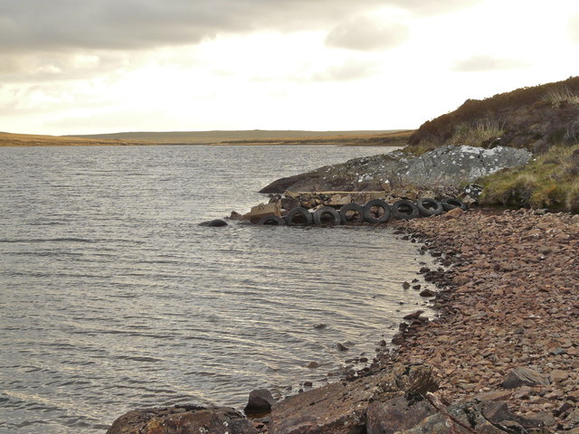
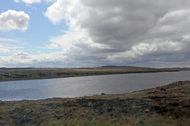
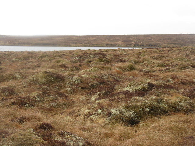
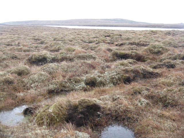
Loch nan Caorann is a small freshwater lake located in Ross-shire, Scotland. It is surrounded by lush greenery and rolling hills, providing a picturesque and tranquil setting for visitors to enjoy. The lake is relatively shallow, with a maximum depth of around 10 meters, and is fed by a small stream that flows into its waters.

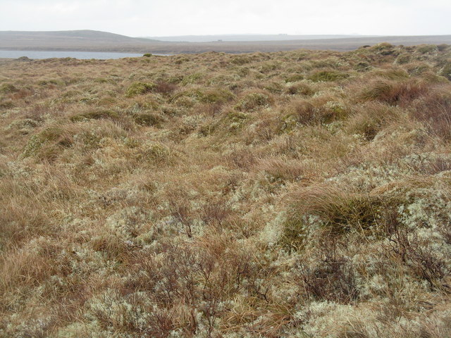
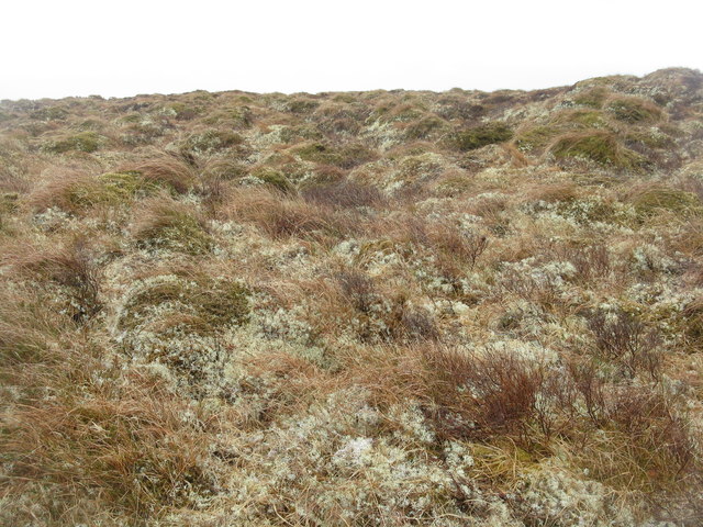
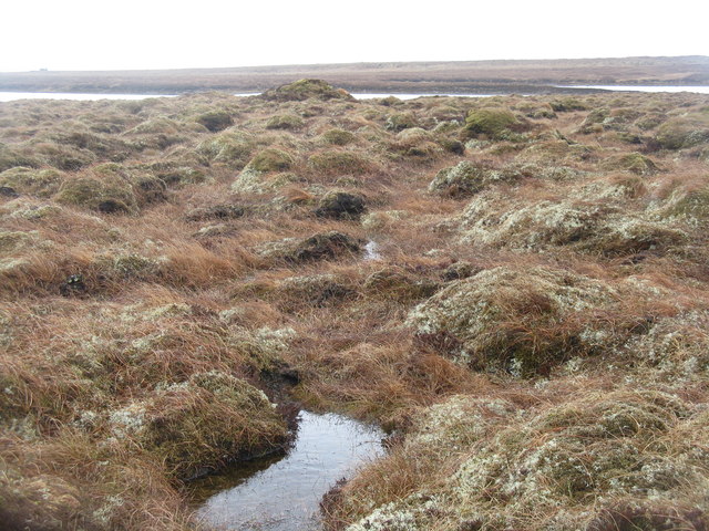
The shoreline of Loch nan Caorann is lined with reeds and other aquatic plants, creating a habitat for a variety of wildlife including birds, fish, and insects. The lake is popular for fishing, with anglers often catching trout and perch in its waters.

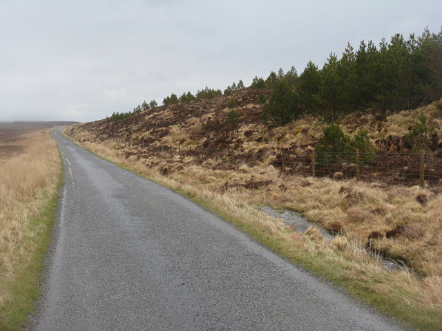
The area surrounding Loch nan Caorann is also popular for hiking and bird-watching, with several walking trails and bird hides located nearby. Visitors can enjoy stunning views of the lake and the surrounding countryside from various vantage points.

Overall, Loch nan Caorann is a peaceful and scenic spot that offers a chance to connect with nature and enjoy the beauty of the Scottish Highlands.

If you have any feedback on the listing, please let us know in the comments section below.

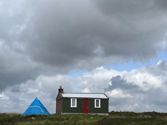
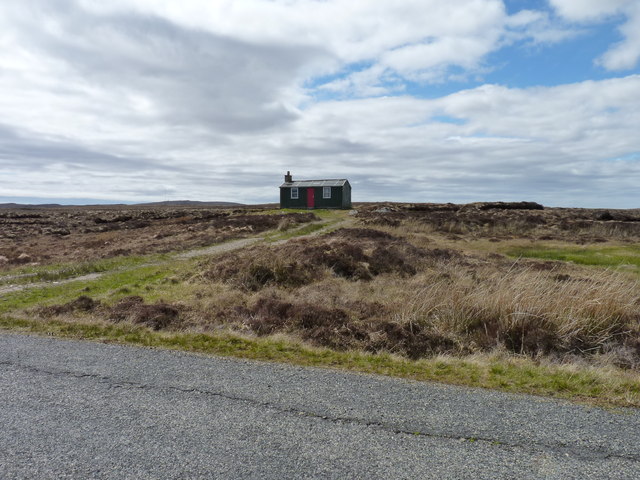
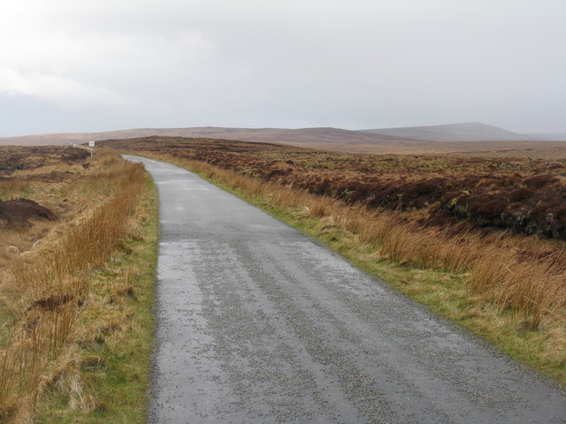
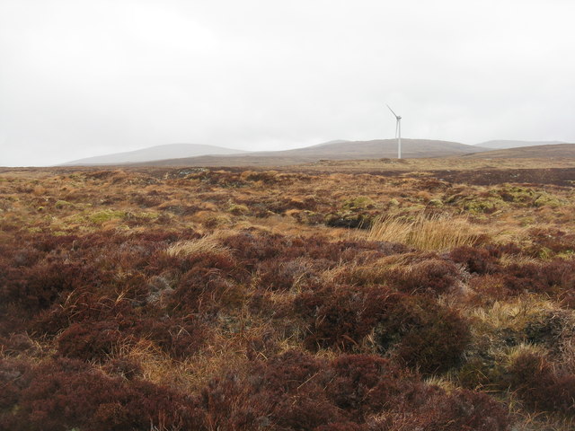
Loch nan Caorann Images

Images are sourced within 2km of 58.224936/-6.5000741 or Grid Reference NB3535. Thanks to Geograph Open Source API. All images are credited.

Pentland Road Wind Turbines
The Lone Meeting House and The Tent Ancient and modern accommodation in the Outer  Hebrides
The Lone Meeting House and The Tent
Ancient and modern accommodation in the Outer Hebrides
Airigh na Gile Another of the old shielings, evidently still in use, at Airigh na Gile by the old A858 a few miles west of Steòrnabhagh .
Airigh na Gile
Another of the old shielings, evidently still in use, at Airigh na Gile by the old A858 a few miles west of Steòrnabhagh .
Old jetty, Loch Bhatandìp, Lewis I am happy to report that, contrary to the information provided in <a href="https://www.geograph.org.uk/photo/732350">NB3533 : Loch Bhatandiob</a>, the fish population is in a healthy state. The last sampling was carried out 31/5/12 using a variety of methods (clan chief and silver dabbler being the two most successful!) and nine brown trout were taken and returned in less than two hours.
Old jetty, Loch Bhatandìp, Lewis
I am happy to report that, contrary to the information provided in NB3533 : Loch Bhatandiob, the fish population is in a healthy state. The last sampling was carried out 31/5/12 using a variety of methods (clan chief and silver dabbler being the two most successful!) and nine brown trout were taken and returned in less than two hours.
Loch Bhatandiop from Pentland Road
Boggy moorland on Lewis Looking southeastwards towards the westward end of Loch Bhatandìp. Extremely wet moorland - very hard going to travel any distance.
Boggy moorland on Lewis
Looking southeastwards towards the westward end of Loch Bhatandìp. Extremely wet moorland - very hard going to travel any distance.
Wet moorland on Lewis Very wet and boggy land, between the Rathad a' Phentland and Loch Bhatandìp. Mosses, lichens, grasses and the occasional heather.
Wet moorland on Lewis
Very wet and boggy land, between the Rathad a' Phentland and Loch Bhatandìp. Mosses, lichens, grasses and the occasional heather.
Loch Bhatandìp A shallow loch, made deeper by a dam at the western end. One of many small patches of water in this boggy landscape of Lewis, which consists of soft hummocks of moss and lichen, with wetter patches in between, and peat underneath.
Loch Bhatandìp
A shallow loch, made deeper by a dam at the western end. One of many small patches of water in this boggy landscape of Lewis, which consists of soft hummocks of moss and lichen, with wetter patches in between, and peat underneath.
Junction, Rathad a' Phentland The parting of the ways by Cnoc an Rathaid - straight on to Breascleit and Carloway, left to Acha Mòr and the A858.
Junction, Rathad a' Phentland
The parting of the ways by Cnoc an Rathaid - straight on to Breascleit and Carloway, left to Acha Mòr and the A858.
The road to Stornoway The Rathad a' Phentland, looking east, with a conifer plantation on the slopes of Beinn Greidaig
The road to Stornoway
The Rathad a' Phentland, looking east, with a conifer plantation on the slopes of Beinn Greidaig
Dual fuel at Cnoc an Rathaid Peat cutting and wind turbines.
Dual fuel at Cnoc an Rathaid
Peat cutting and wind turbines.
Boggy moorland and wind turbines Viewed from the Pentland Road south of Loch Mòr a' Chòcair.
Boggy moorland and wind turbines
Viewed from the Pentland Road south of Loch Mòr a' Chòcair.
Boggy moorland and wind turbines Seen from the Pentland Road this stretch of moorland is crossed by the old road to Stornoway and the horizon is now lined with wind turbines.
Boggy moorland and wind turbines
Seen from the Pentland Road this stretch of moorland is crossed by the old road to Stornoway and the horizon is now lined with wind turbines.
Peat-cutters' sheiling One of several huts scattered on the moors near here, used by peat-cutters in season and also as holiday accommodation at other times.
Peat-cutters' sheiling
One of several huts scattered on the moors near here, used by peat-cutters in season and also as holiday accommodation at other times.
Rathad a' Phentland A long straight single-track road across the blanket bog from Stornoway to Carloway and Breascleit.
Rathad a' Phentland
A long straight single-track road across the blanket bog from Stornoway to Carloway and Breascleit.
Moorland near Loch Mòr a' Chòcair Looking north from the Pentland Road. The wind turbine is the westmost of the six-turbine Pentland Road Wind Farm - a 42-turbine installation, the Stornoway Wind Farm, is proposed to fill the area between here and Stornoway, over about 4x5km of the moorland.
Moorland near Loch Mòr a' Chòcair
Looking north from the Pentland Road. The wind turbine is the westmost of the six-turbine Pentland Road Wind Farm - a 42-turbine installation, the Stornoway Wind Farm, is proposed to fill the area between here and Stornoway, over about 4x5km of the moorland.
Moorland at Loch Bhatandìp Typical blanket bog with mossy humps with lichen and pools, some quite deep. South of the Rathad a' Phentland.
Moorland at Loch Bhatandìp
Typical blanket bog with mossy humps with lichen and pools, some quite deep. South of the Rathad a' Phentland.
Loch Bhatandìp from near the Pentland Road Looking southeast across blanket bog - an expanse of wet mossy landscape.
Loch Bhatandìp from near the Pentland Road
Looking southeast across blanket bog - an expanse of wet mossy landscape.
Show me another place!

Loch nan Caorann is located at Grid Ref: NB3535 (Lat: 58.224936, Lng: -6.5000741)

Unitary Authority: Na h-Eileanan an Iar

Police Authority: Highlands and Islands

What 3 Words

///enacted.crispier.nicer. Near Stornoway, Na h-Eileanan Siar

Nearby Locations

Loch nan Caorann

Related Wikis

Marybank, Lewis

Marybank (Scottish Gaelic: Bruach Màiri, IPA:[ˈpɾuəxˈmaːɾʲɪ]) is a settlement on the outskirts of Stornoway, Isle of Lewis in the Outer Hebrides of Scotland...

Newvalley, Lewis

Newvalley (Scottish Gaelic: An Gleann Ùr) is a hamlet on the Isle of Lewis in the Outer Hebrides, Scotland. Newvalley is within the parish of Stornoway...

Lewis Peatlands

Lewis Peatlands (Scottish Gaelic: mòinteach Leòdhais) is a large area of blanket bog covering more than one third of the Isle of Lewis, off the west coast...

Lewis War Memorial

The Lewis War Memorial is a war memorial dedicated to the men from the Lewis area (Outer Hebrides, Scotland) who lost their lives in World War I and those...

Have you been to Loch nan Caorann?

Leave your review of Loch nan Caorann below (or comments, questions and feedback).