Loch nan Caor
Lake, Pool, Pond, Freshwater Marsh in Ross-shire
Scotland
Loch nan Caor
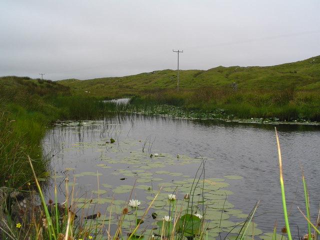
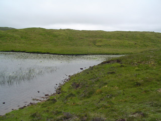
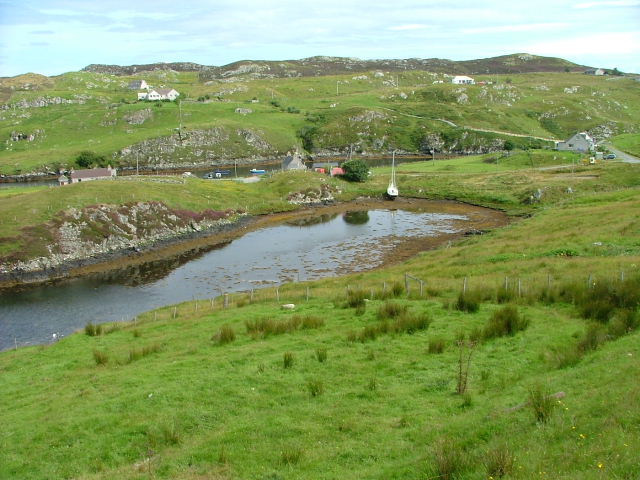
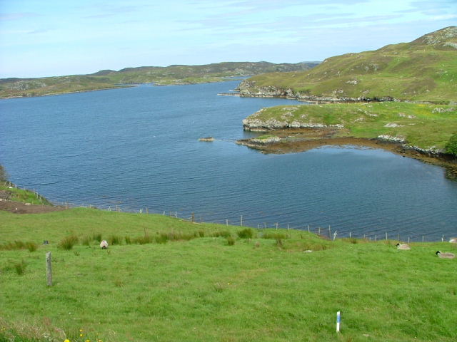
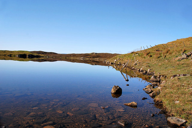
Loch nan Caor is a picturesque freshwater loch located in Ross-shire, Scotland. Nestled amongst the stunning Scottish Highlands, this natural wonder is a popular destination for nature enthusiasts and outdoor adventurers alike.
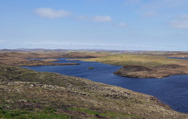
Covering an area of approximately 1 square kilometer, Loch nan Caor is situated at an elevation of 200 meters above sea level. Surrounded by rolling hills and lush greenery, the loch offers breathtaking panoramic views of the surrounding landscape.
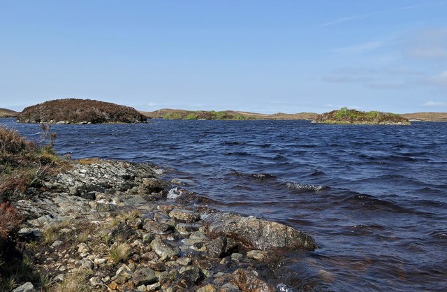
The water in Loch nan Caor is crystal clear and teeming with an abundance of freshwater plant and animal life. The loch is known for its diverse range of fish species, including trout and salmon, making it a popular spot for anglers. Additionally, the surrounding marshes and wetlands provide a habitat for a variety of bird species, making it a haven for birdwatchers and wildlife enthusiasts.
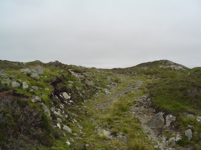
The loch is easily accessible, with a well-maintained footpath that winds its way around the perimeter, providing visitors with the opportunity to explore and take in the natural beauty at their own pace. There are also designated picnic areas, allowing visitors to relax and enjoy a meal while taking in the tranquil surroundings.
Loch nan Caor is a truly idyllic location, offering a peaceful retreat from the hustle and bustle of everyday life. Whether you are seeking a scenic hike, a fishing adventure, or simply a place to unwind and connect with nature, Loch nan Caor is a must-visit destination in Ross-shire.
If you have any feedback on the listing, please let us know in the comments section below.
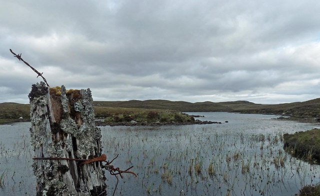
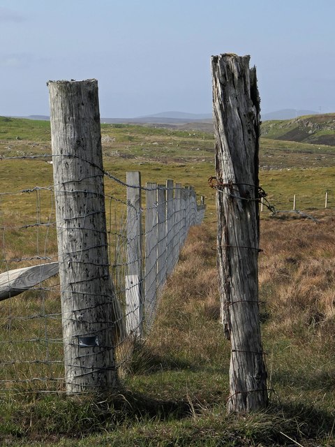
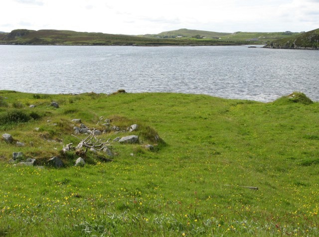
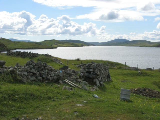
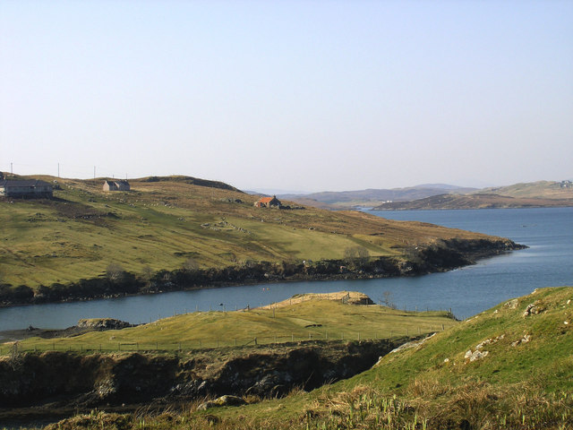
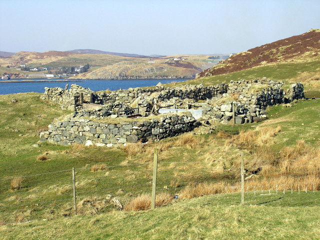
Loch nan Caor Images
Images are sourced within 2km of 58.082419/-6.4898956 or Grid Reference NB3519. Thanks to Geograph Open Source API. All images are credited.


Loch nan Caor is located at Grid Ref: NB3519 (Lat: 58.082419, Lng: -6.4898956)
Unitary Authority: Na h-Eileanan an Iar
Police Authority: Highlands and Islands
What 3 Words
///variety.talkers.access. Near Leurbost, Na h-Eileanan Siar
Related Wikis

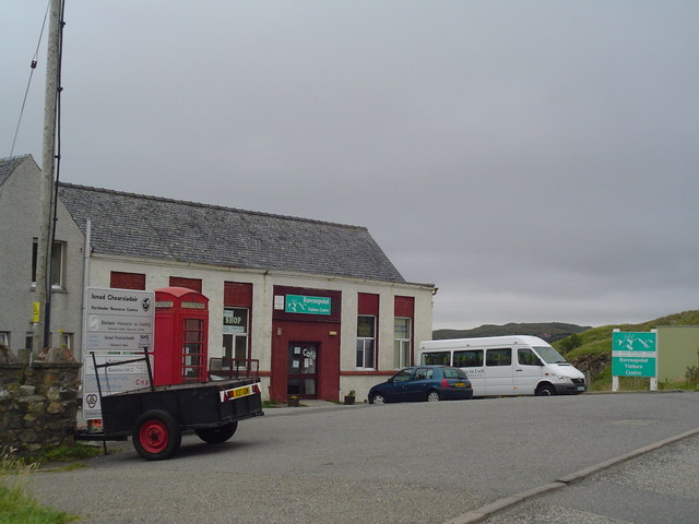
Cabharstadh
Cabharstadh or Caversta (Scottish Gaelic: Cabharstaigh) is a village on the Isle of Lewis in the Outer Hebrides, Scotland. Caversta is situated in the...

Loch Erisort
Loch Erisort (Scottish Gaelic: Èireasort) is an 8-mile-long narrow sea inlet on the east coast of the Isle of Lewis in the Outer Hebrides off the west...
Eilean Chaluim Chille
Eilean Chaluim Chille (Gaelic: island of Saint Columba, Calum Cille) is an unpopulated island in the Outer Hebrides. It lies off the east coast of Lewis...

Gravir
Gravir (Scottish Gaelic: Grabhair), is a village on the shore of Loch Odhairn (a sea loch) in the Park district of the Isle of Lewis. Gravir is within...
Nearby Amenities
Located within 500m of 58.082419,-6.4898956Have you been to Loch nan Caor?
Leave your review of Loch nan Caor below (or comments, questions and feedback).