Loch a' Choin Bhàin

Lake, Pool, Pond, Freshwater Marsh in Ross-shire

Scotland

Loch a' Choin Bhàin
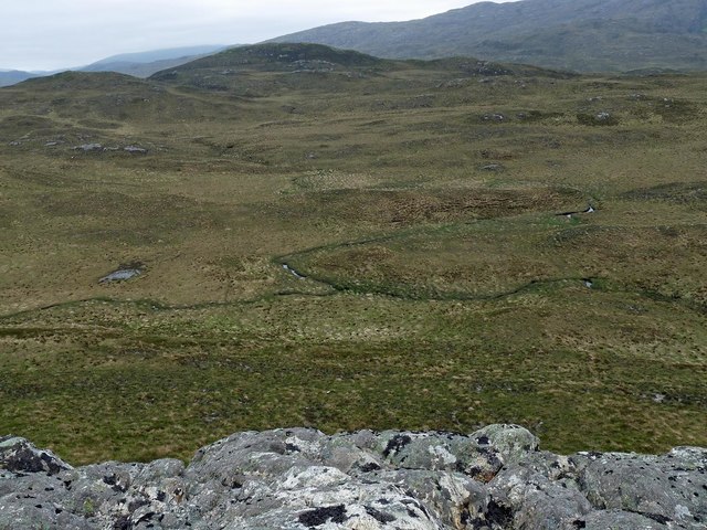
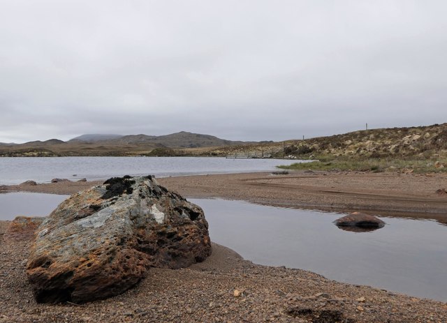
Confluence of the Allt Eitneach with a tributary, Isle of Lewis Taken from Cnoc an Uillt Eitnich.
Confluence of the Allt Eitneach with a tributary, Isle of Lewis Credit: Claire Pegrum

The requested URL returned error: 429 Too Many Requests

If you have any feedback on the listing, please let us know in the comments section below.

Loch a' Choin Bhàin Images

Images are sourced within 2km of 58.04262/-6.4901688 or Grid Reference NB3514. Thanks to Geograph Open Source API. All images are credited.
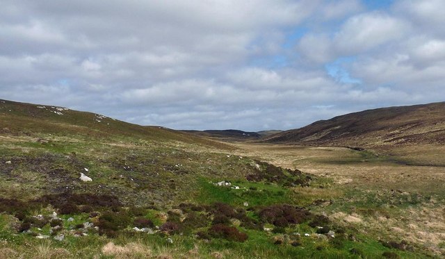
Confluence of the Allt Eitneach with a tributary, Isle of Lewis Taken from Cnoc an Uillt Eitnich.
Confluence of the Allt Eitneach with a tributary, Isle of Lewis
Taken from Cnoc an Uillt Eitnich.
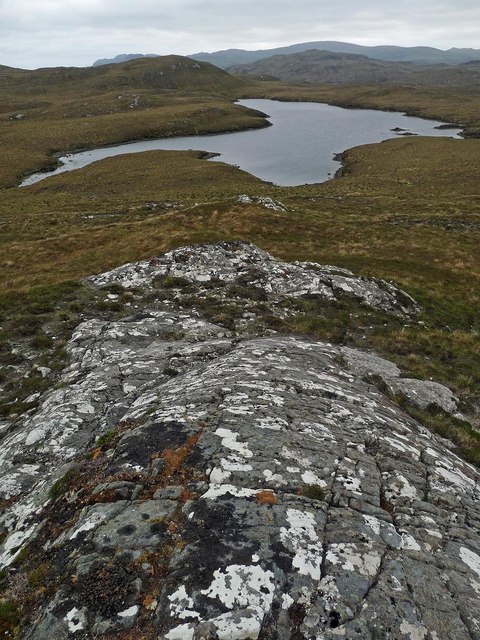
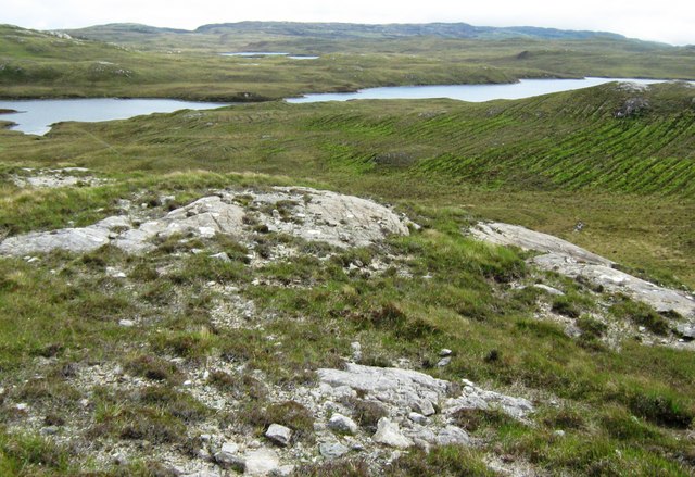
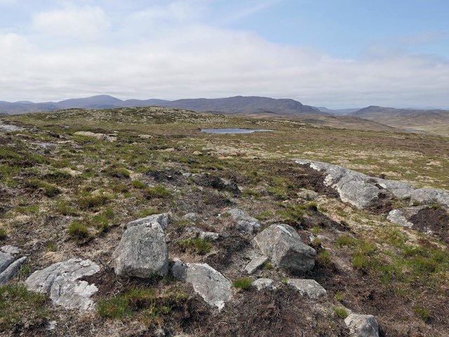
Rock slab on the southern slopes of Sidhean Tom Mhic Reacail, Isle of Lewis Looking towards Loch na Ciste, all of which lies within the grid square.
Rock slab on the southern slopes of Sidhean Tom Mhic Reacail, Isle of Lewis
Looking towards Loch na Ciste, all of which lies within the grid square.
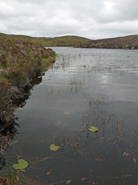
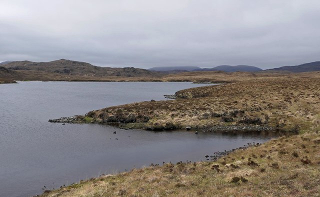
Loch nan Lùb, Isle of Lewis An inlet on the northern arm of this U-shaped loch.
Loch nan Lùb, Isle of Lewis
An inlet on the northern arm of this U-shaped loch.
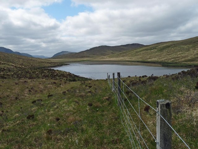
Fence above Loch na h-Àirigh Meadhonach, Isle of Lewis The loch straddles this grid square and the one to the north.
Fence above Loch na h-Àirigh Meadhonach, Isle of Lewis
The loch straddles this grid square and the one to the north.
Remains of possible farmstead, Glen Uirn, Isle of Lewis From <span class="nowrap"><a title="https://canmore.org.uk/site/134037" rel="nofollow ugc noopener" href="https://canmore.org.uk/site/134037">Link</a><img style="margin-left:2px;" alt="External link" title="External link - shift click to open in new window" src="https://s1.geograph.org.uk/img/external.png" width="10" height="10"/></span> : "What may be a farmstead comprising three unroofed buildings, which are annotated as Ruins, and a head-dyke are depicted on the 1st edition of the OS 6-inch map (Ross-shire, Island of Lewis 1854, sheet 37)."
Remains of possible farmstead, Glen Uirn, Isle of Lewis
From LinkExternal link : "What may be a farmstead comprising three unroofed buildings, which are annotated as Ruins, and a head-dyke are depicted on the 1st edition of the OS 6-inch map (Ross-shire, Island of Lewis 1854, sheet 37)."
Loch Shanndabhat, Isle of Lewis The OS Name Book of 1848-1852 describes Loch Shanndabhat as, "a large fresh water loch into which flows Allt Feithe Luachraich.  It is deep and very narrow about its centre".
Loch Shanndabhat, Isle of Lewis
The OS Name Book of 1848-1852 describes Loch Shanndabhat as, "a large fresh water loch into which flows Allt Feithe Luachraich. It is deep and very narrow about its centre".
Inflow to Loch Shanndabhat, Isle of Lewis This unnamed burn rises below Sidhean Shanndabhat and flows for approximately 500m before discharging into the loch.
Inflow to Loch Shanndabhat, Isle of Lewis
This unnamed burn rises below Sidhean Shanndabhat and flows for approximately 500m before discharging into the loch.
Shieling hut below Sidhean Shanndabhat, Isle of Lewis This is one in a row of about ten huts.
Shieling hut below Sidhean Shanndabhat, Isle of Lewis
This is one in a row of about ten huts.
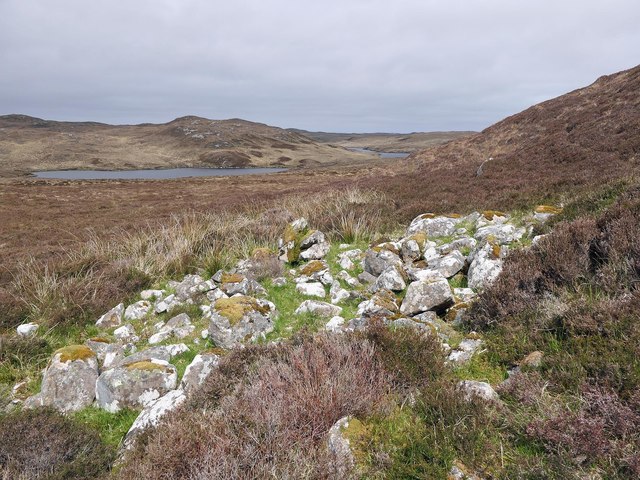
Possible remains of cairn, Sidhean Dubha, Isle of Lewis OS maps with a scale of 1:25,000 and larger show a cairn to the north-east of the highest point of Sidhean Dubha.  There didn't appear to be one on the ground.  The only thing I could find was this rough ring of stones which may previously have been the base of a cairn.
Possible remains of cairn, Sidhean Dubha, Isle of Lewis
OS maps with a scale of 1:25,000 and larger show a cairn to the north-east of the highest point of Sidhean Dubha. There didn't appear to be one on the ground. The only thing I could find was this rough ring of stones which may previously have been the base of a cairn.
Loch na Cuilee, Isle of Lewis Approximately half of the loch lies within the grid square.  Its name means Bulrush Loch.
Loch na Cuilee, Isle of Lewis
Approximately half of the loch lies within the grid square. Its name means Bulrush Loch.
Dyke below Sidhean Loch na Cuilee, Isle of Lewis The dyke appears on the 2nd edition OS six inch map, surveyed in 1895, but not on the 1st edition, surveyed 1850-1853, and so, presumably, was originally built between some time between 1850 and 1895.
Dyke below Sidhean Loch na Cuilee, Isle of Lewis
The dyke appears on the 2nd edition OS six inch map, surveyed in 1895, but not on the 1st edition, surveyed 1850-1853, and so, presumably, was originally built between some time between 1850 and 1895.
Ruined fence, Taobh a' Ghlinne, Isle of Lewis The fence is a continuation of the one which bounds the rear of the crofts in Glenside/Taobh a' Ghlinne.
Ruined fence, Taobh a' Ghlinne, Isle of Lewis
The fence is a continuation of the one which bounds the rear of the crofts in Glenside/Taobh a' Ghlinne.
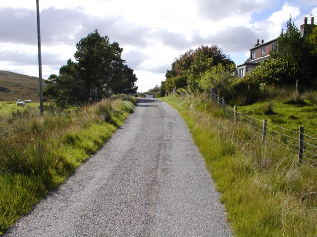
Houses in Glenside Looking East down Glen Grabhair along the single track village road.
Houses in Glenside
Looking East down Glen Grabhair along the single track village road.
Glen Grabhair
Glen Grabhair
Old Fence This old and ruined fence is just above the village of Taobh a' Ghlinne in the Pairc district of South Lochs.
Old Fence
This old and ruined fence is just above the village of Taobh a' Ghlinne in the Pairc district of South Lochs.
Loch Airigh Choinnich This small Lochan is in the Pairc district of south Lochs.
Loch Airigh Choinnich
This small Lochan is in the Pairc district of south Lochs.
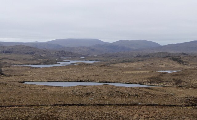
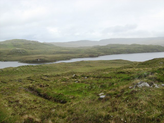
Loch Mor Stiomrabhaigh Taken from the eastern flank of Cleite Breac looking towards the narrows of Loch Mor Stiomrabhaigh and beyond.  The ditching  running down the hillside in the foreground was undertaken for forestry plantation, but this did not proceed.
Loch Mor Stiomrabhaigh
Taken from the eastern flank of Cleite Breac looking towards the narrows of Loch Mor Stiomrabhaigh and beyond. The ditching running down the hillside in the foreground was undertaken for forestry plantation, but this did not proceed.
Loch Mor Stiomrabhaigh Looking east across the narrows of Loch Mor Stiomrabhaigh with Loch Sanndabhat just visible in the distance. Preparation for forestry that was never planted can be seen on Cleite Breac, the hillside to the right.
Loch Mor Stiomrabhaigh
Looking east across the narrows of Loch Mor Stiomrabhaigh with Loch Sanndabhat just visible in the distance. Preparation for forestry that was never planted can be seen on Cleite Breac, the hillside to the right.
Show me another place!

Loch a' Choin Bhàin is located at Grid Ref: NB3514 (Lat: 58.04262, Lng: -6.4901688)

Unitary Authority: Na h-Eileanan an Iar

Police Authority: Highlands and Islands

What 3 Words

///cotton.surcharge.reconnect. Near Leurbost, Na h-Eileanan Siar

Related Wikis

Gravir

Gravir (Scottish Gaelic: Grabhair), is a village on the shore of Loch Odhairn (a sea loch) in the Park district of the Isle of Lewis. Gravir is within...

Stiomrabhaig

Stiomrabhaig is an abandoned crofter's village on the Isle of Lewis in the Outer Hebrides. == History == The United Kingdom Census 1851 shows that the...

Orinsay

Orinsay (Scottish Gaelic: Orasaigh) is a crofting village on the Isle of Lewis in the district of Pairc, in the Outer Hebrides, Scotland. The settlement...

Cabharstadh

Cabharstadh or Caversta (Scottish Gaelic: Cabharstaigh) is a village on the Isle of Lewis in the Outer Hebrides, Scotland. Caversta is situated in the...

Have you been to Loch a' Choin Bhàin?

Leave your review of Loch a' Choin Bhàin below (or comments, questions and feedback).