Y Gilfach-goch

Settlement in Glamorgan

Wales

Y Gilfach-goch

Ordnance Survey Flush Bracket (10152) This OS Flush Bracket can be found on the NW face of the school. It marks a point 216.334m above mean sea level.
Ordnance Survey Flush Bracket (10152) Credit: Adrian Dust

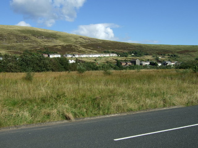
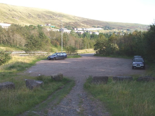
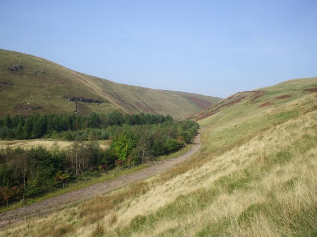
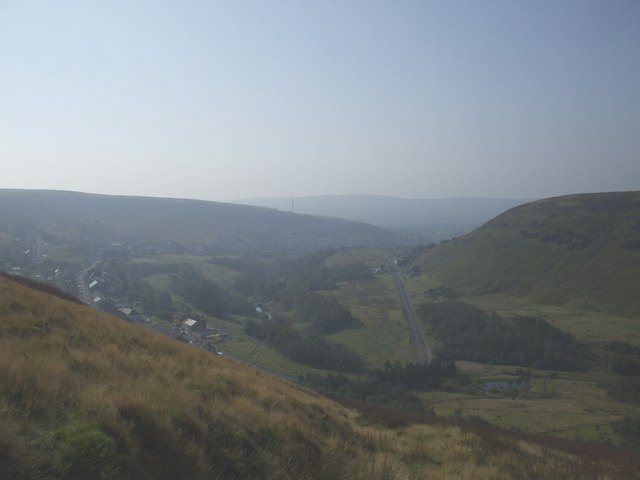
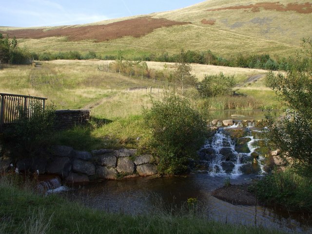
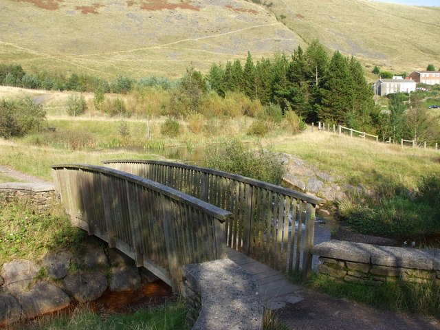
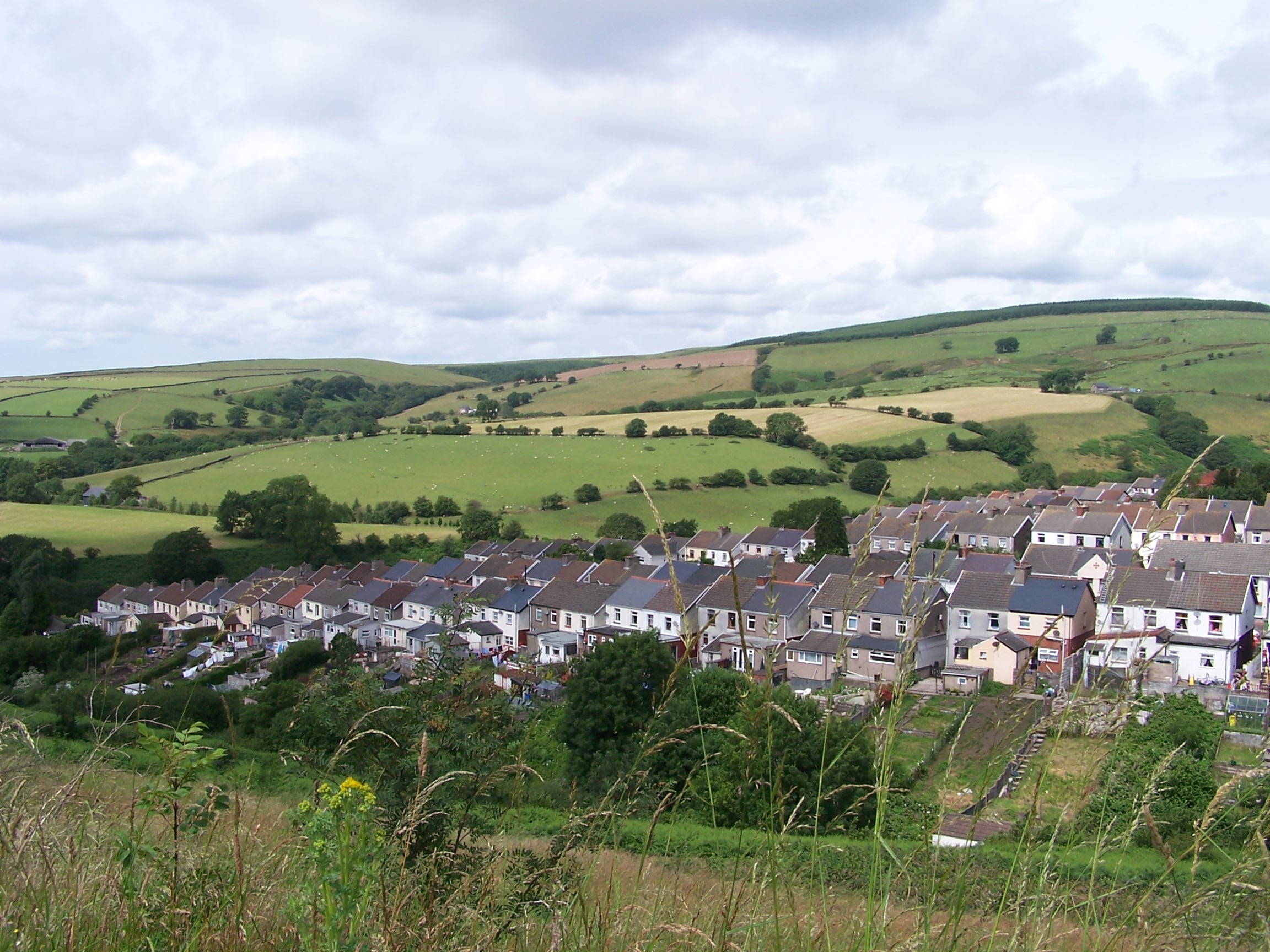
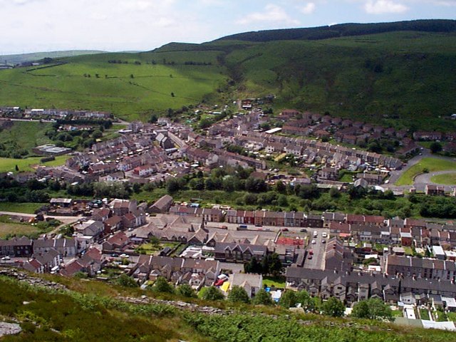
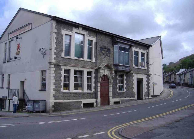
Y Gilfach-goch is a small village located in the county of Glamorgan, Wales. Situated in the Rhondda Valley, it lies approximately 15 miles northwest of Cardiff, the capital city of Wales. The village is surrounded by stunning natural beauty, with rolling hills and vast green landscapes.

Y Gilfach-goch has a rich history that dates back to the industrial revolution when coal mining was the primary industry in the area. The village was once home to several collieries, which played a significant role in the local economy. However, with the decline of the coal industry in the mid-20th century, the village underwent significant changes.

Today, Y Gilfach-goch is a close-knit community with a population of around 2,000 residents. The village offers a range of amenities, including a primary school, a community center, and a few local shops. It also has a strong sense of community spirit, with various events and activities organized throughout the year.

For those who enjoy outdoor pursuits, Y Gilfach-goch is an ideal location. The surrounding countryside offers numerous opportunities for hiking, biking, and exploring the beautiful natural surroundings. Additionally, the nearby Rhondda Heritage Park provides insights into the area's mining history and offers visitors a chance to delve into the past.

In summary, Y Gilfach-goch is a small village in Glamorgan with a rich history and stunning natural landscapes. It is a close-knit community that offers a range of amenities and is surrounded by opportunities for outdoor activities.

If you have any feedback on the listing, please let us know in the comments section below.

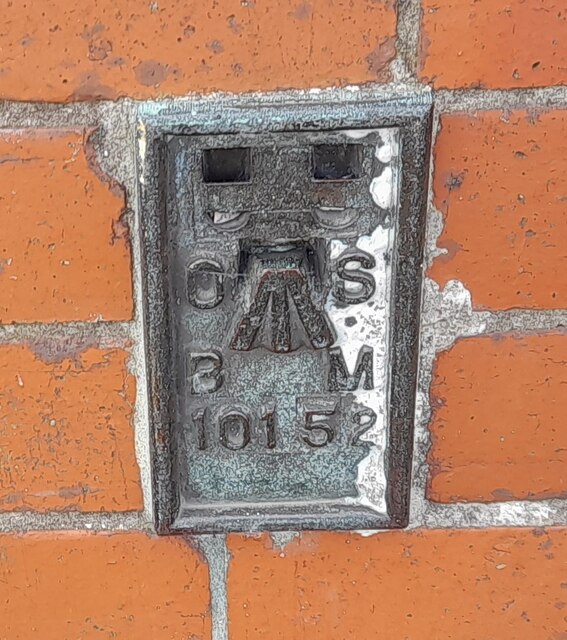
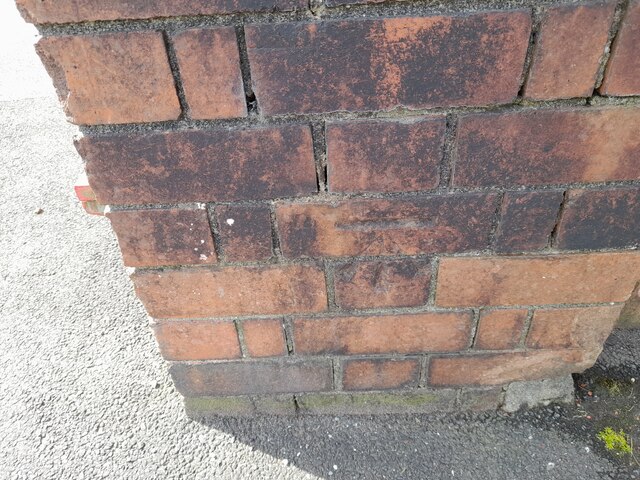
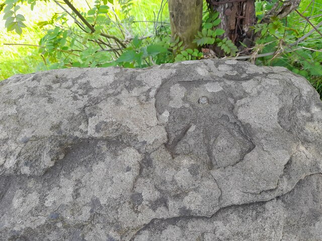
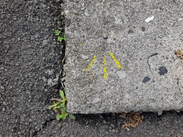
Y Gilfach-goch Images

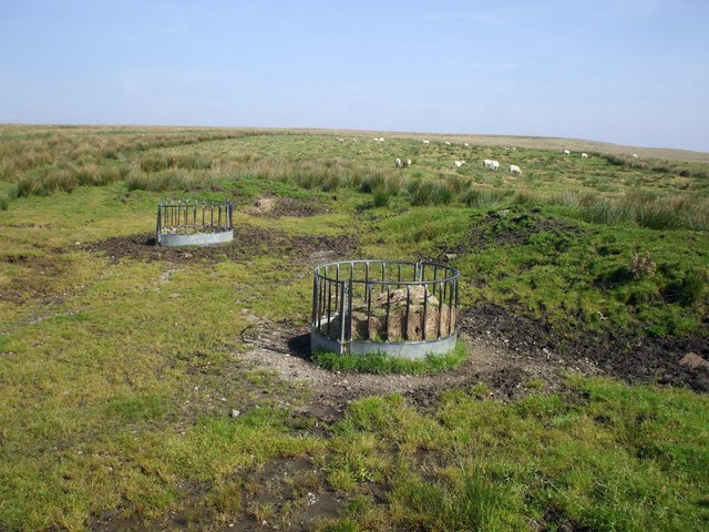
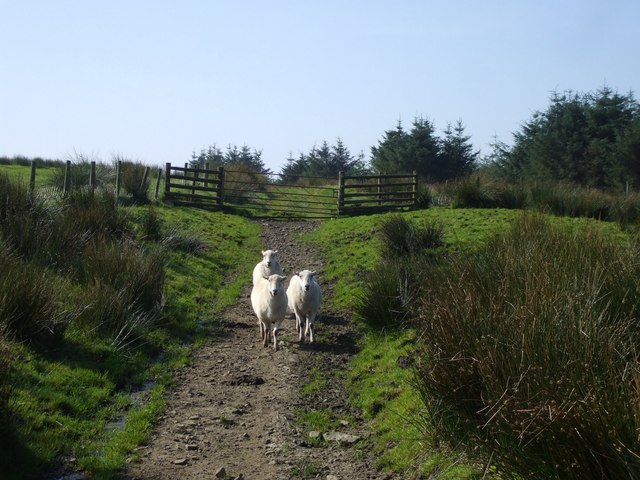
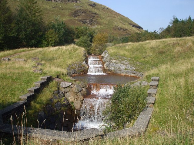
Images are sourced within 2km of 51.595093/-3.4772905 or Grid Reference SS9789. Thanks to Geograph Open Source API. All images are credited.

Ordnance Survey Flush Bracket (10152) This OS Flush Bracket can be found on the NW face of the school. It marks a point 216.334m above mean sea level.
Ordnance Survey Flush Bracket (10152)
This OS Flush Bracket can be found on the NW face of the school. It marks a point 216.334m above mean sea level.
Ordnance Survey Cut Mark This OS cut mark can be found on the gatepost of the school. It marks a point 216.413m above mean sea level.
Ordnance Survey Cut Mark
This OS cut mark can be found on the gatepost of the school. It marks a point 216.413m above mean sea level.
Ordnance Survey Rivet This OS rivet can be found on the NE parapet of the bridge. It marks a point 210.026m above mean sea level.
Ordnance Survey Rivet
This OS rivet can be found on the NE parapet of the bridge. It marks a point 210.026m above mean sea level.
Ordnance Survey Rivet This OS cut mark can be found on the wall of the steps SE side of Abercerdin Road. It marks a point 237.339m above mean sea level.
Ordnance Survey Rivet
This OS cut mark can be found on the wall of the steps SE side of Abercerdin Road. It marks a point 237.339m above mean sea level.
Ordnance Survey Rivet This OS rivet can be found on the east parapet of the bridge. It marks a point 201.363m above mean sea level.
Ordnance Survey Rivet
This OS rivet can be found on the east parapet of the bridge. It marks a point 201.363m above mean sea level.
Cottages seen from B4564 The B4564 loops round on the left to pass the cottages opposite, and completes the circle at Gilfach Goch.
Cottages seen from B4564
The B4564 loops round on the left to pass the cottages opposite, and completes the circle at Gilfach Goch.
Car park, Mynydd Maesteg, Evanstown Gilfach Goch in the middle distance
Car park, Mynydd Maesteg, Evanstown
Gilfach Goch in the middle distance
Track from Gilfach Goch
Gilfach Goch (left) from Mynydd Pen-y-graig Mynydd Maes-teg on the right, the road to Evanstown centre
Gilfach Goch (left) from Mynydd Pen-y-graig
Mynydd Maes-teg on the right, the road to Evanstown centre
Track across Mynydd Pen-y-graig
Steep-sided valley of the Ogwr Fach
Sheep feeders and sheep, Mynydd Maesteg
Three sheep, Mynydd Maesteg
Stile, Mynydd Maesteg
Waterfalls, Car park, Mynydd Maesteg
View from carpark, Mynydd Maesteg
Bridge over the Ogwr Fach, carpark, Mynydd Maesteg
View from the footpath on Mynydd Pwllyrhebog
Show me another place!

Y Gilfach-goch is located at Grid Ref: SS9789 (Lat: 51.595093, Lng: -3.4772905)

Unitary Authority: Rhondda Cynon Taf

Police Authority: South Wales

Also known as: Gilfach Goch

What 3 Words

///planet.coasting.inserted. Near Gilfach Goch, Rhondda Cynon Taf

Related Wikis

Gilfach Goch

Gilfach Goch is a community, electoral ward and small former coal mining village mostly in the Borough of Rhondda Cynon Taf, south Wales, near the larger...

Gilfach Goch railway station

Gilfach Goch railway station served the village of Gilfach Goch, in the historical county of Glamorgan, Wales, from 1881 to 1930 on the Ely Valley Railway...

Daren y Dimbath

Daren y Dimbath is a Site of Special Scientific Interest in Bridgend, south Wales. == See also == List of Sites of Special Scientific Interest in Mid...

Penrhiwfer

Penrhiwfer (Welsh for "short hill end") is a village located in the community of Tonyrefail, Rhondda Cynon Taf County Borough, Wales.There is a church...

Penygraig

Penygraig is a village and community in the Rhondda Valley in the county borough of Rhondda Cynon Taf, Wales. As a community Penygraig contains the neighbouring...

Penygraig railway station

Penygraig railway station served the village of Penygraig, in the historical county of Glamorgan, Wales, from 1901 to 1958 on the Ely Valley Railway....

Williamstown, Rhondda Cynon Taf

Williamstown (Welsh: Trewiliam) is a village in the Rhondda Valley in the county borough of Rhondda Cynon Taf, within the historic county boundaries of...

Mynydd Maendy

Mynydd Maendy (translation: Maindy Mountain) is a hilltop and moorland, near Gilfach Goch, in the County Borough of Rhondda Cynon Taf in south Wales, to...

Nearby Amenities

Located within 500m of 51.595093,-3.4772905
Noexit: yes
Lat/Long: 51.595159/-3.474699
Turning Circle
Lat/Long: 51.5952855/-3.4735046
Gilfach Goch
Name Cy: Gilfach-goch
Place: village
Population: 1920
Source: NLS-OS-1st_Series
Lat/Long: 51.5935812/-3.4713971
School
Lat/Long: 51.5953869/-3.479519
Place Of Worship
Lat/Long: 51.5957601/-3.4761448
Noexit: yes
Lat/Long: 51.5915446/-3.4750083
Noexit: yes
Lat/Long: 51.5912415/-3.4770552
Barrier: yes
Lat/Long: 51.5960025/-3.4786922
Noexit: yes
Lat/Long: 51.5950751/-3.4784664
Noexit: yes
Lat/Long: 51.5922783/-3.4731719
Noexit: yes
Lat/Long: 51.5946403/-3.4712345
Evanstown
Place: village
Lat/Long: 51.5951344/-3.477108
Direction: WNW
Generator Method: photovoltaic
Generator Output Electricity: yes
Generator Solar Modules: 8
Generator Source: solar
Generator Type: solar_photovoltaic_panel
Location: roof
Power: generator
Lat/Long: 51.5931888/-3.4727003
Direction: ESE
Generator Method: photovoltaic
Generator Output Electricity: yes
Generator Solar Modules: 8
Generator Source: solar
Generator Type: solar_photovoltaic_panel
Location: roof
Power: generator
Lat/Long: 51.5931697/-3.4726399
Direction: ESE
Generator Method: photovoltaic
Generator Output Electricity: yes
Generator Solar Modules: 8
Generator Source: solar
Generator Type: solar_photovoltaic_panel
Location: roof
Power: generator
Lat/Long: 51.5945468/-3.471567
Direction: 165
Generator Method: photovoltaic
Generator Output Electricity: yes
Generator Solar Modules: 15
Generator Source: solar
Generator Type: solar_photovoltaic_panel
Location: roof
Power: generator
Lat/Long: 51.5954899/-3.4746221
Direction: SSE
Generator Method: photovoltaic
Generator Output Electricity: yes
Generator Solar Modules: 15
Generator Source: solar
Generator Type: solar_photovoltaic_panel
Location: roof
Power: generator
Lat/Long: 51.5950317/-3.4757338
Direction: 145
Generator Method: photovoltaic
Generator Output Electricity: yes
Generator Solar Modules: 12
Generator Source: solar
Generator Type: solar_photovoltaic_panel
Location: roof
Power: generator
Lat/Long: 51.5952473/-3.4760316
Direction: 190
Generator Method: photovoltaic
Generator Output Electricity: yes
Generator Solar Modules: 10
Generator Source: solar
Generator Type: solar_photovoltaic_panel
Location: roof
Power: generator
Lat/Long: 51.596463/-3.4780929
Noexit: yes
Lat/Long: 51.5914642/-3.4765586
Give Way
Direction: backward
Lat/Long: 51.5950562/-3.4773502
Give Way
Direction: backward
Lat/Long: 51.5951159/-3.4773619
Traffic Signals
Crossing: traffic_signals
Crossing Island: no
Kerb: lowered
Tactile Paving: yes
Lat/Long: 51.59155/-3.4742667
Post Box
Collection Times: Mo-Fr 17:15; Sa 11:00
Operator: Royal Mail
Post Box Type: pillar
Ref: CF39 212
Royal Cypher: EIIR
Lat/Long: 51.5920082/-3.4727687
Post Box
Collection Times: Mo-Fr 09:00; Sa 07:00
Operator: Royal Mail
Post Box Mounting: pier
Post Box Type: lamp
Ref: CF39 210D
Royal Cypher: EIIR
Lat/Long: 51.5952758/-3.4769556
The data included in this document is from www.openstreetmap.org. The data is made available under ODbL.

Have you been to Y Gilfach-goch?

Leave your review of Y Gilfach-goch below (or comments, questions and feedback).