Loch an Lìn
Lake, Pool, Pond, Freshwater Marsh in Argyllshire
Scotland
Loch an Lìn

Loch an Lìn, located in Argyllshire, Scotland, is a picturesque freshwater lake nestled in the breathtaking Scottish Highlands. With its serene beauty and tranquil atmosphere, the loch has become a popular destination for nature enthusiasts and tourists alike.
Measuring approximately 1.5 kilometers in length and 500 meters in width, Loch an Lìn boasts crystal-clear, pristine waters that reflect the stunning surrounding landscape. The lake is surrounded by lush green hills and mountains, creating a stunning backdrop for visitors to admire.
The loch's shoreline is predominantly rocky, with occasional sandy areas and small pebble beaches. These provide ideal spots for picnicking or simply enjoying the peaceful surroundings. The waters of Loch an Lìn are home to a variety of fish species, making it a popular spot for fishing enthusiasts seeking trout or salmon.
Surrounding the lake is a diverse ecosystem, consisting of freshwater marshes and wetlands. These marshes provide a habitat for numerous plant and animal species, including waterfowl, herons, and various aquatic plants. The marshes also act as a natural filter, improving the water quality of the lake.
Loch an Lìn offers visitors a range of recreational activities, including boating, kayaking, and sailing. Additionally, the surrounding landscape offers excellent opportunities for hiking and nature walks, allowing visitors to fully immerse themselves in the stunning beauty of the area.
Overall, Loch an Lìn is a hidden gem in Argyllshire, offering a tranquil retreat for those seeking natural beauty and a peaceful escape from the hustle and bustle of everyday life.
If you have any feedback on the listing, please let us know in the comments section below.
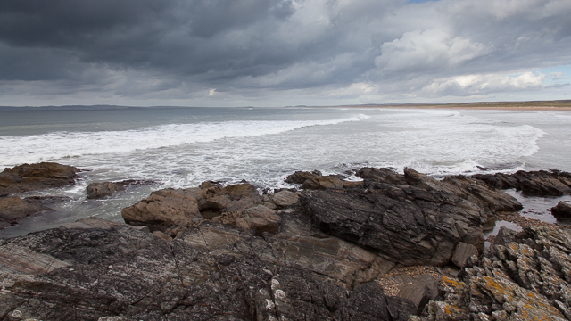
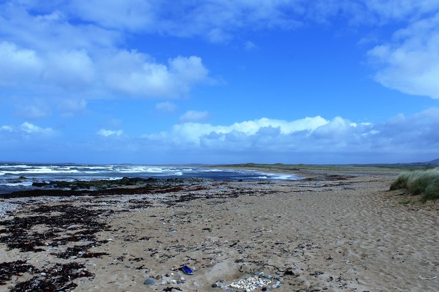
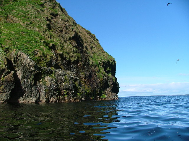
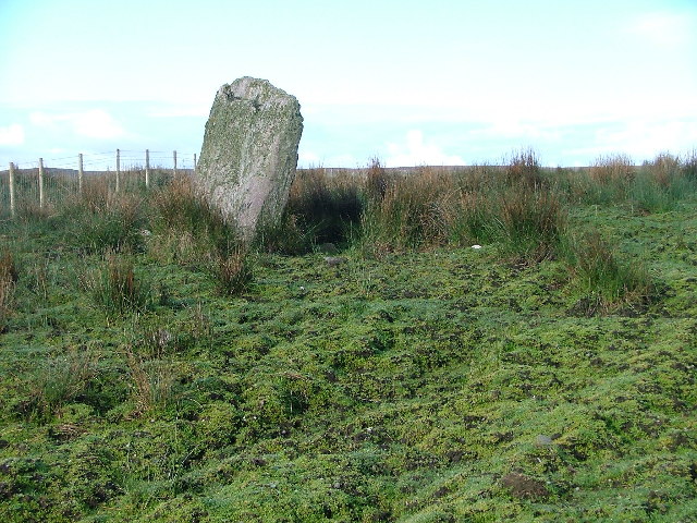
Loch an Lìn Images
Images are sourced within 2km of 55.649343/-6.2593106 or Grid Reference NR3247. Thanks to Geograph Open Source API. All images are credited.


Loch an Lìn is located at Grid Ref: NR3247 (Lat: 55.649343, Lng: -6.2593106)
Unitary Authority: Argyll and Bute
Police Authority: Argyll and West Dunbartonshire
What 3 Words
///dress.autumn.sends. Near Port Ellen, Argyll & Bute
Nearby Locations
Related Wikis

Machrie golf course
The Machrie Golf Course, or "The Machrie Links", is located on Islay, in Scotland. The word "machrie" is a corruption of the Scottish Gaelic machair, which...
Islay Airport
Islay Airport (IATA: ILY, ICAO: EGPI) (also known as Glenegedale Airport) (Scottish Gaelic: Port-adhair Ìle) is located 4.5 nautical miles (8.3 kilometres...

The Oa
The Oa ( OH) (Scottish Gaelic: An Obha) is a rocky peninsula in the southwest of the island of Islay, in Argyll, Scotland. It is an RSPB nature reserve...

Port Ellen distillery
Port Ellen distillery is located in Port Ellen on the isle of Islay, Scotland. It initially operated between 1825 and 1983 when production shut down....

Leorin Loch
Leorin Loch is of the impounding variety, located 2.5 kilometres north of Port Ellen, and is one of a group of three lochs supplying water to the island...

St John's Church, Port Ellen
St John's Church, Port Ellen is a Category B listed building in Port Ellen, Islay, Argyll and Bute, Scotland. == History == The memorial stone for the...

Port Ellen
Port Ellen (Scottish Gaelic: Port Ìlein) is a small town on the island of Islay, in Argyll, Scotland. The town is named after the wife of its founder,...
Eas Mòr, upper
Eas Mor is a waterfall is a waterfall on the Abhainn Ghil on the island of Islay in Scotland. It lies on The Oa peninsula south of Giol and west of Lenavore...
Nearby Amenities
Located within 500m of 55.649343,-6.2593106Have you been to Loch an Lìn?
Leave your review of Loch an Lìn below (or comments, questions and feedback).