Giffnock
Settlement in Renfrewshire
Scotland
Giffnock
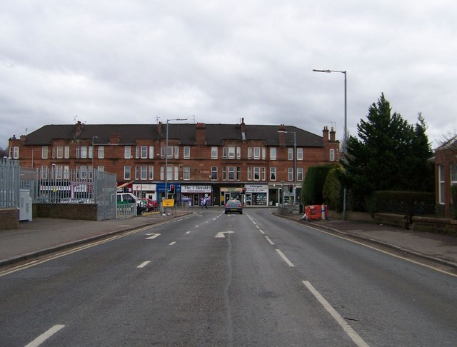
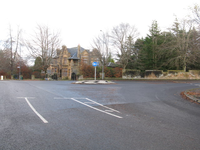
Giffnock is a suburban town located in East Renfrewshire, Scotland. Situated about six miles south of Glasgow city center, it falls within the historic county of Renfrewshire. With a population of around 17,000 residents, Giffnock is known for its affluent and desirable residential area.
The town boasts a rich history, with evidence of human settlement dating back to prehistoric times. It was primarily an agricultural community until the late 19th century when the arrival of the railway transformed Giffnock into a commuter town for Glasgow. Today, it remains a popular residential area for families and professionals due to its excellent transport links and proximity to Glasgow's city center.
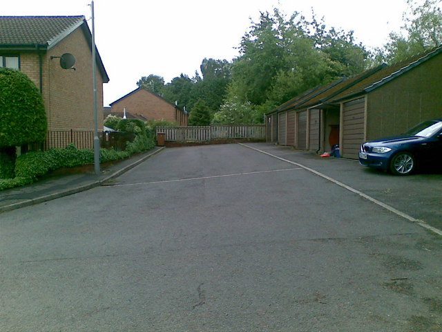
Giffnock is characterized by its tree-lined streets, spacious houses, and well-maintained gardens. The area is renowned for its excellent schools, including several prestigious private and state-funded institutions, making it an attractive choice for families looking for quality education options.
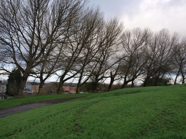
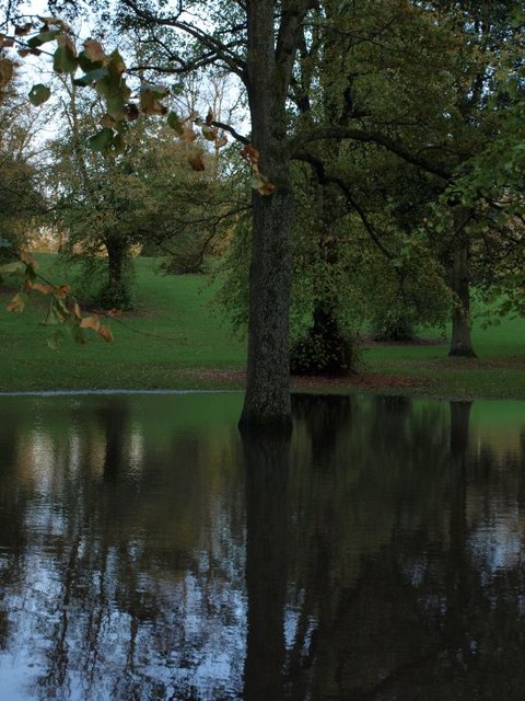
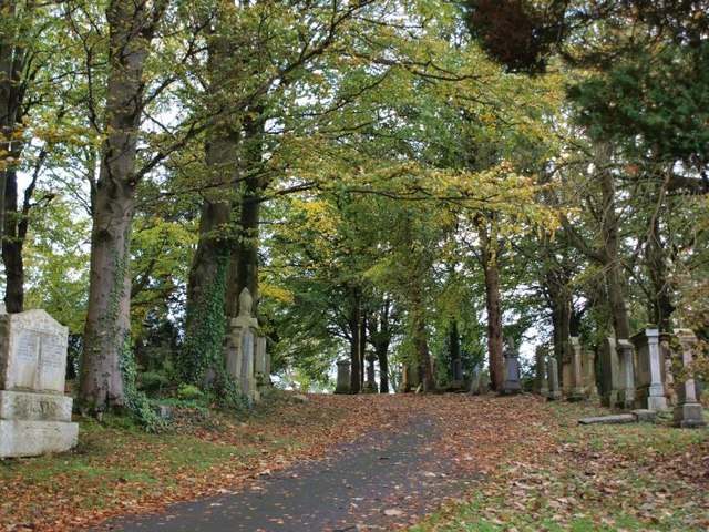
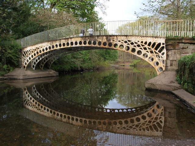
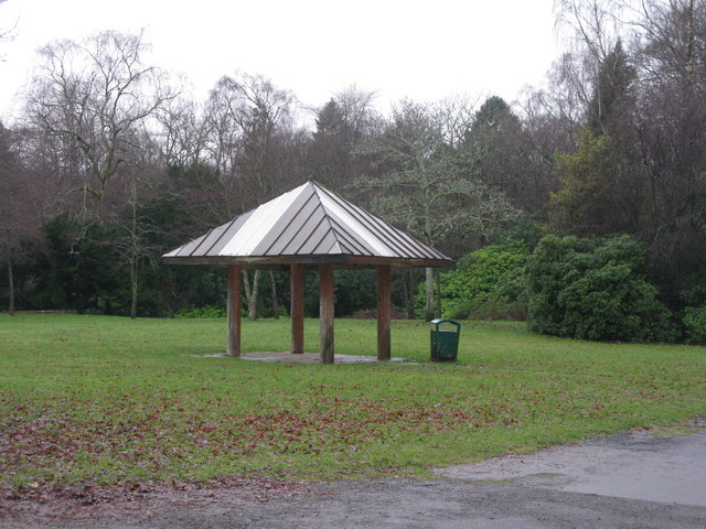
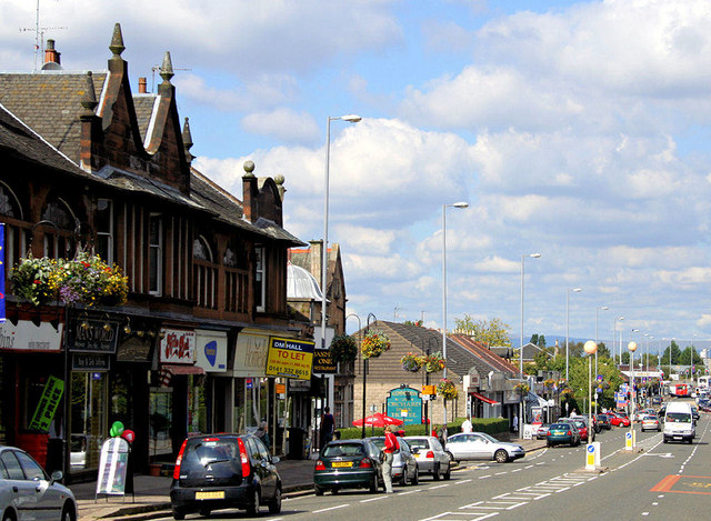
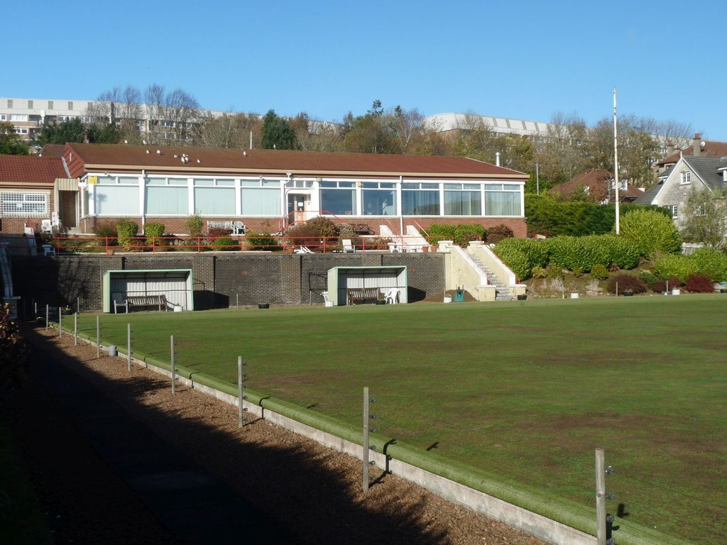
The town center offers a range of amenities, including a variety of shops, restaurants, and cafes. Sports and recreation are also well catered for, with numerous parks, golf courses, and sports clubs in the area. Giffnock's green spaces, such as Rouken Glen Park, provide peaceful retreats for residents to enjoy leisurely walks or picnics.
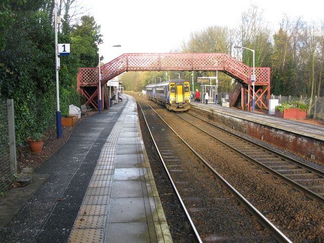
Transportation in Giffnock is convenient, with regular bus services and a nearby train station connecting the town to Glasgow and other surrounding areas. Additionally, the M77 motorway is easily accessible, offering quick routes to the wider region.
Overall, Giffnock's combination of attractive residential areas, excellent schools, and convenient location make it a highly sought-after place to live in Renfrewshire.
If you have any feedback on the listing, please let us know in the comments section below.
Giffnock Images
Images are sourced within 2km of 55.806272/-4.292963 or Grid Reference NS5659. Thanks to Geograph Open Source API. All images are credited.


Giffnock is located at Grid Ref: NS5659 (Lat: 55.806272, Lng: -4.292963)
Unitary Authority: East Renfrewshire
Police Authority: Greater Glasgow
What 3 Words
///herb.love.crisis. Near Giffnock, East Renfrewshire
Nearby Locations
Related Wikis

Eastwood, Strathclyde
Eastwood was a local government district in the Strathclyde region. It was derived from the civil parish of Eastwood which had been within the county of...
Giffnock
Giffnock (; Scots: Giffnock; Scottish Gaelic: Giofnag, pronounced [ˈkʲifnak]) is a town and the administrative centre of East Renfrewshire in the Central...
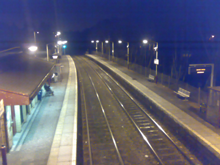
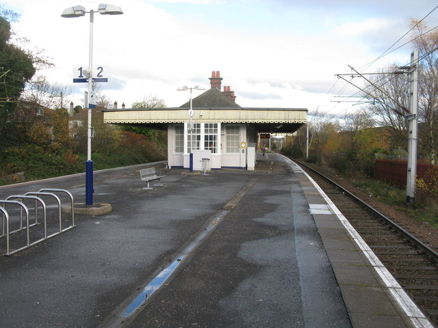
Giffnock railway station
Giffnock railway station is a railway station in the town of Giffnock, East Renfrewshire, Scotland. The station is managed by ScotRail and is on the East...

Giffnock Synagogue
Giffnock Newton Mearns Synagogue, commonly known as Giffnock Shul, located at 222 Fenwick Road in Giffnock, East Renfrewshire (on the south side of Glasgow...
Glasgow Southern RFC
Glasgow Southern RFC was a former rugby union team. It was based in Giffnock, East Renfrewshire. Previously known as Clarkston RFC the Club altered its...
Glasgow Hutchesons Aloysians RFC
Glasgow Hutchesons Aloysians Rugby Football Club, often abbreviated to GHA and colloquially referred to as G-HA!! , is a rugby union club based in the...

East Renfrewshire
East Renfrewshire (Scots: Aest Renfrewshire; Scottish Gaelic: Siorrachd Rinn Friù an Ear) is one of 32 council areas of Scotland. It was formed in 1996...
Hillpark
Hillpark (Scottish Gaelic: Pàirc a' Chnuic, Scots: Hullpairk) is an area in the city of Glasgow, Scotland. It is situated south of the River Clyde. Hillpark...
Nearby Amenities
Located within 500m of 55.806272,-4.292963Have you been to Giffnock?
Leave your review of Giffnock below (or comments, questions and feedback).