Gibshill
Settlement in Renfrewshire
Scotland
Gibshill
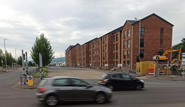
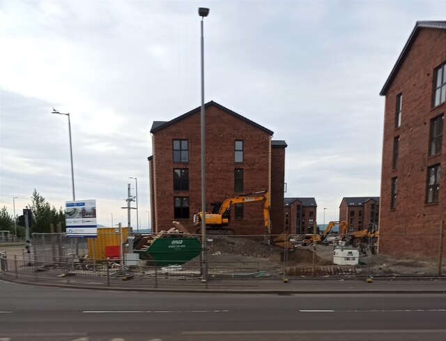
Gibshill is a small residential area located in Renfrewshire, Scotland. Situated on the outskirts of the town of Greenock, it is known for its peaceful atmosphere and stunning views of the Clyde Estuary. The neighborhood is primarily made up of residential properties, ranging from traditional detached houses to modern apartments.
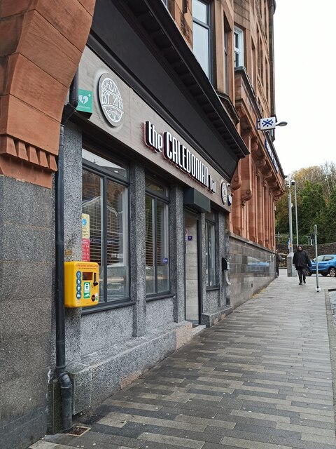
Gibshill benefits from its close proximity to various amenities and facilities. The nearby town of Greenock offers a wide range of shops, supermarkets, and restaurants, providing residents with easy access to everyday necessities. Additionally, there are several schools in the area, making it an attractive location for families with children.
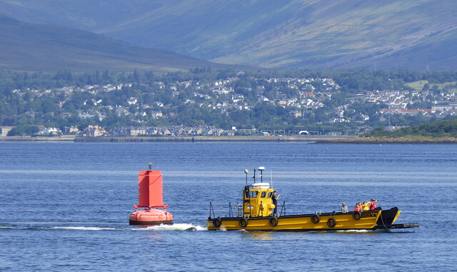
One of Gibshill's main attractions is its natural beauty. The area is surrounded by picturesque landscapes, including the nearby Clyde Muirshiel Regional Park, which offers ample opportunities for outdoor activities such as hiking, cycling, and birdwatching. The stunning views of the Clyde Estuary add to the charm of the neighborhood, providing residents with a tranquil and scenic environment.
Transport links in Gibshill are excellent, with regular bus services connecting the area to Greenock and other nearby towns. The M8 motorway is also easily accessible, allowing for convenient travel to Glasgow and other major cities in the region.
Overall, Gibshill is a peaceful residential area with beautiful surroundings and convenient amenities. Its location on the outskirts of Greenock makes it an ideal choice for those seeking a quiet and scenic place to call home.
If you have any feedback on the listing, please let us know in the comments section below.
Gibshill Images
Images are sourced within 2km of 55.935399/-4.717129 or Grid Reference NS3074. Thanks to Geograph Open Source API. All images are credited.


Gibshill is located at Grid Ref: NS3074 (Lat: 55.935399, Lng: -4.717129)
Unitary Authority: Inverclyde
Police Authority: Renfrewshire and Inverclyde
What 3 Words
///tribes.pint.laptop. Near Port Glasgow, Inverclyde
Nearby Locations
Related Wikis

Gibshill
Gibshill (sometimes spelt as Gibbshill and often referred to as The Gibby, but also known as Spam Island) is the easternmost housing estate in Greenock...

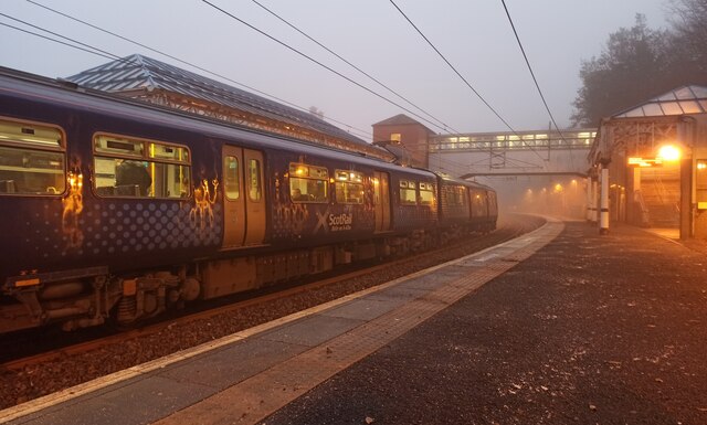
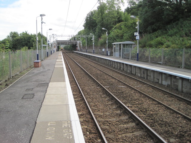
Bogston railway station
Bogston railway station is on the Inverclyde Line, at Bogston in the East end of Greenock in Inverclyde council area, Scotland. The station is 213⁄4 miles...
Bogston
Bogston (Scots: Bogstoun, Scottish Gaelic: Baile na Fèithe) is an area of the towns of Port Glasgow and Greenock in the council area of Inverclyde, Scotland...

Cappielow
Cappielow, also known as Cappielow Park supported by Dalrada Technology UK for sponsorship reasons, is a football stadium in Greenock, Inverclyde, Scotland...

Easter Greenock Castle
Easter Greenock Castle was a castle of unknown design near the burgh of Greenock, Scotland. == History == === Construction and location === Built sometime...

Cartsdyke railway station
Cartsdyke railway station serves part of the town of Greenock, Scotland. The station is on the Inverclyde Line, 22 miles (35 km) west of Glasgow Central...
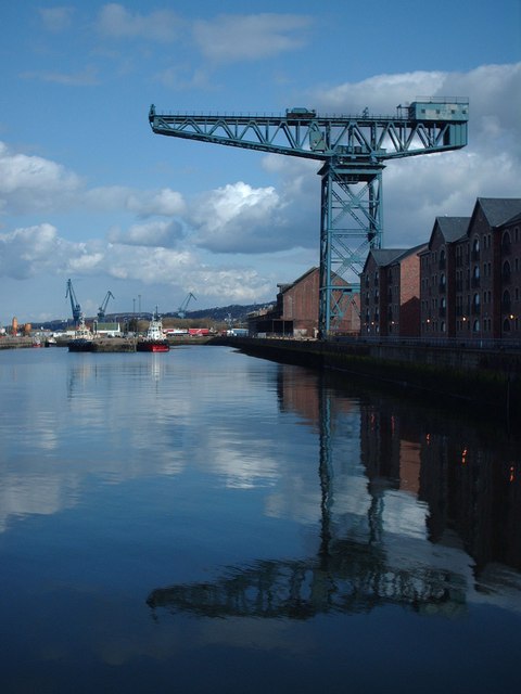
James Watt Dock Crane
The James Watt Dock Crane is a giant cantilever crane situated at Greenock on the River Clyde. == History == It was built in 1917 by Sir William Arrol...
Cartsdyke
Cartsdyke (Scots: Cairstdyke, Scottish Gaelic: Gàradh Cairte), formerly known as Crawfurdsdyke, is a suburb of the town of Greenock, Scotland.Crawfurdsdyke...
Nearby Amenities
Located within 500m of 55.935399,-4.717129Have you been to Gibshill?
Leave your review of Gibshill below (or comments, questions and feedback).