Gibraltar

Settlement in Bedfordshire

England

Gibraltar

Box End Road
Box End Road Credit: David Howard

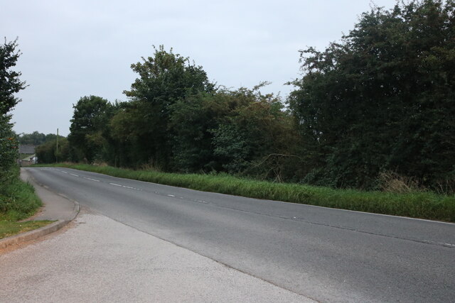
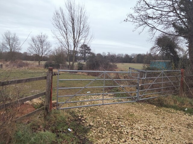
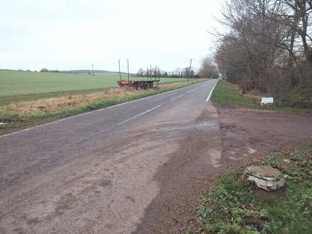
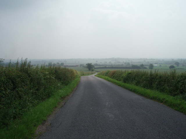
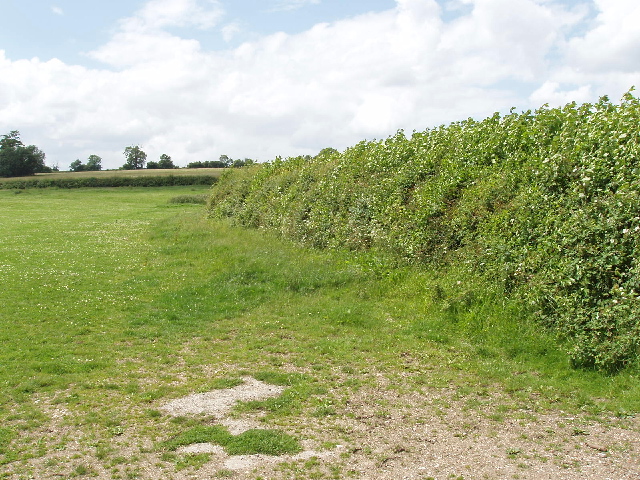
Gibraltar is a small village located in the county of Bedfordshire, England. Situated approximately 4 miles northwest of the town of Luton, Gibraltar is part of the Central Bedfordshire district. The village is nestled in a picturesque rural setting, surrounded by rolling hills and farmland.

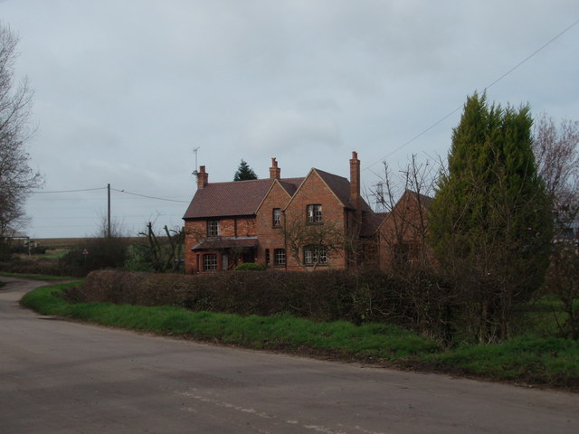
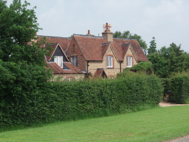
With a population of around 500 residents, Gibraltar retains a close-knit community atmosphere. The village is known for its quaint cottages and historic buildings, which add to its charm and character. The architecture reflects the village's long history, with some structures dating back several centuries.

Gibraltar offers a range of amenities to its residents. These include a local primary school, providing education to the village's young population. The village also boasts a pub, offering a gathering place for locals and visitors alike. Additionally, there are several shops and services available within close proximity.

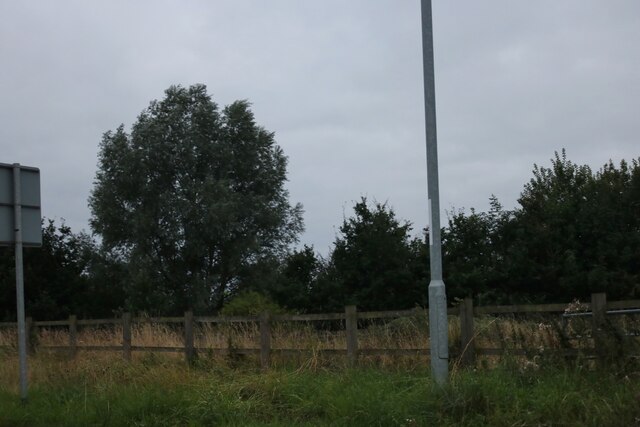
The surrounding countryside provides ample opportunities for outdoor activities. The village is located near the Chiltern Hills, an Area of Outstanding Natural Beauty, which offers stunning scenery and walking trails. Gibraltar is also well-connected to neighboring towns and cities, making it an ideal base for exploring the wider region.

Overall, Gibraltar, Bedfordshire is a peaceful and picturesque village with a strong sense of community. Its historic charm, rural setting, and range of amenities make it an attractive place to live for those seeking a tranquil countryside lifestyle within easy reach of urban centers.

If you have any feedback on the listing, please let us know in the comments section below.
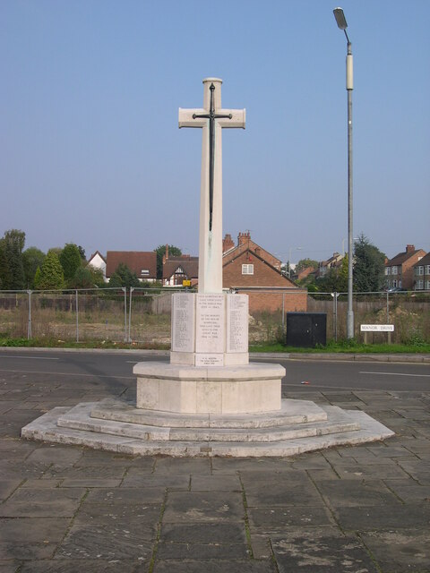
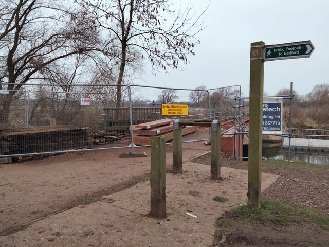
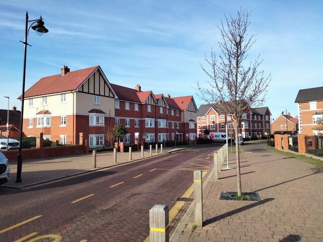
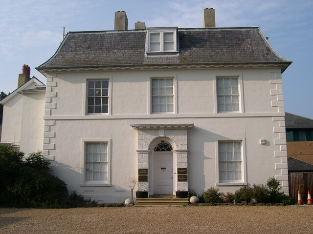
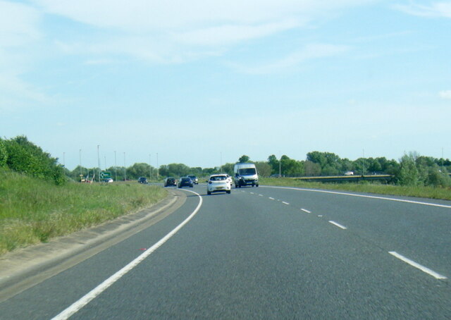
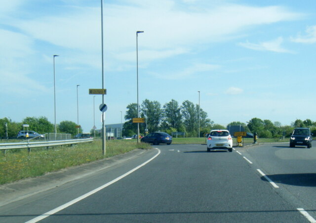
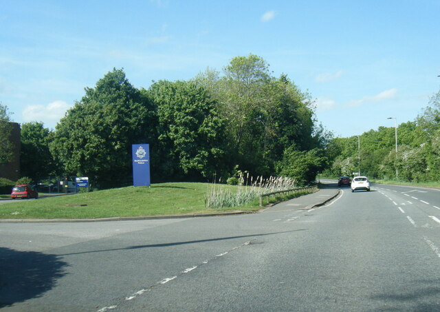
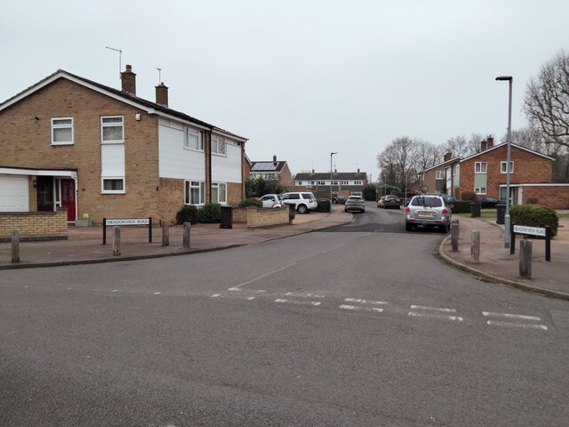
Gibraltar Images

Images are sourced within 2km of 52.110374/-0.52708022 or Grid Reference TL0046. Thanks to Geograph Open Source API. All images are credited.

Box End Road
Box End Road
Woods by Box End Road, Kempston
Kempston Rural, Corner of Box End Road and B560 View across fields looking towards All Saints Church and Vicarage (facing away from Vicarage Farm).
Kempston Rural, Corner of Box End Road and B560
View across fields looking towards All Saints Church and Vicarage (facing away from Vicarage Farm).
Kempston Rural, Corner of Box End Road and B560 View along B560, Vicarage Farm to right of photograph.
Kempston Rural, Corner of Box End Road and B560
View along B560, Vicarage Farm to right of photograph.
War Memorial, High Street, Kempston The land directly behind the memorial was waiting construction of a Lidl Store. This was built and subsequently demolished.
War Memorial, High Street, Kempston
The land directly behind the memorial was waiting construction of a Lidl Store. This was built and subsequently demolished.
Mill Lane, Kempston Houses on Mill Lane facing River Great Ouse.
Mill Lane, Kempston
Houses on Mill Lane facing River Great Ouse.
Mill Bridge, Kempston Work to restore bridge from Mill Lane, Kempston, to Great Denham, 2022.
Mill Bridge, Kempston
Work to restore bridge from Mill Lane, Kempston, to Great Denham, 2022.
Lidl Supermarket, Kempston View from Martell Drive.
Lidl Supermarket, Kempston
View from Martell Drive.
Martell Drive, Kempston View looking down Martell Drive from Lidl Supermarket.
Martell Drive, Kempston
View looking down Martell Drive from Lidl Supermarket.
Kempston Manor, Manor Drive, Kempston A Grade II listed building.
Kempston Manor, Manor Drive, Kempston
A Grade II listed building.
A6 at Kempston
A6 at Kempston
A6 The Branston Way at Ridge Road roundabout
Woburn Road at Bedfordshire Police HQ
Meadowview Road, Kempston View from Riverview Way.
Meadowview Road, Kempston
View from Riverview Way.
The Road to Bourne End A house along the road to Wootton Bourne End, near Wootton.
The Road to Bourne End
A house along the road to Wootton Bourne End, near Wootton.
B560 The B560 from Stagsden to Kempston Church End.  Taken at the brow of the hill near Kempston West End.
B560
The B560 from Stagsden to Kempston Church End. Taken at the brow of the hill near Kempston West End.
Kempston West End One of three, or four cottages that make up Kempston West End.
Kempston West End
One of three, or four cottages that make up Kempston West End.
Pasture and hedge, Hall End of Wootton A footpath runs up beside the hedge.
Pasture and hedge, Hall End of Wootton
A footpath runs up beside the hedge.
Show me another place!

Gibraltar is located at Grid Ref: TL0046 (Lat: 52.110374, Lng: -0.52708022)

Unitary Authority: Bedford

Police Authority: Bedfordshire

What 3 Words

///thickened.alienated.squashes. Near Wootton, Bedfordshire

Nearby Locations

Gibraltar

Related Wikis

Keeley Green

Keeley Green is a hamlet located in the Borough of Bedford in Bedfordshire, England. The settlement is situated directly to the north of the larger village...

Wood End, Bedfordshire

Wood End (or Kempston Wood End) is a small village located in the Borough of Bedford in Bedfordshire, England. The settlement was historically one of the...

Kempston West

Kempston West is an electoral ward and area within the town of Kempston, Bedfordshire, England. The boundaries of Kempston West are approximately the River...

Ridgeway School, Kempston

Ridgeway School is a mixed special school for pupils with physical disabilities located in Kempston, Bedfordshire, England. The school accepts pupils from...

Nearby Amenities

Located within 500m of 52.110374,-0.52708022
Gibraltar
Is In County: Bedfordshire
Place: locality
Lat/Long: 52.1104898/-0.5271503
Post Box
Brand: Royal Mail
Brand Wikidata: Q638098
Check Date: 2021-06-14
Operator: Royal Mail
Operator Wikidata: Q638098
Ref: MK43 298
Royal Cypher: EIIR
Royal Cypher Wikidata: Q33102113
Lat/Long: 52.1105576/-0.5262554
Barrier: kissing_gate
Lat/Long: 52.111541/-0.5328968
Barrier: kissing_gate
Lat/Long: 52.1083962/-0.5264738
Bus Stop
Wootton Road
Bench: no
Bin: no
Bus: yes
Check Date Shelter: 2021-04-19
Naptan AtcoCode: 020036066
Naptan Bearing: NW
Naptan CommonName: Wootton Road
Naptan Indicator: opp 53
Naptan Landmark: No 53 Wootton Road
Naptan NaptanCode: bfsapgdg
Naptan Street: Wootton Road
Public Transport: platform
Shelter: no
Source: naptan_import
Tactile Paving: no
Lat/Long: 52.1072096/-0.5252026
Bus Stop
Wootton Road
Bench: no
Bin: no
Bus: yes
Check Date Shelter: 2021-04-19
Naptan AtcoCode: 020036067
Naptan Bearing: SW
Naptan CommonName: Wootton Road
Naptan Indicator: o/s 83
Naptan Landmark: No 83 Wootton Road
Naptan NaptanCode: bfsapgdj
Naptan Street: Wootton Road
Public Transport: platform
Shelter: no
Source: naptan_import
Tactile Paving: no
Lat/Long: 52.1062109/-0.525148
Power: substation
Source: Bing
Lat/Long: 52.1102717/-0.5273057
Material: wood
Power: pole
Lat/Long: 52.1099888/-0.5288423
Material: wood
Power: pole
Lat/Long: 52.1089408/-0.529776
Power: pole
Lat/Long: 52.1079082/-0.5307163
Power: pole
Lat/Long: 52.1070722/-0.5319006
Power: pole
Lat/Long: 52.1109547/-0.528711
Power: pole
Lat/Long: 52.111758/-0.5285997
Power: pole
Lat/Long: 52.1128708/-0.5279031
Power: pole
Lat/Long: 52.1132961/-0.527648
Power: pole
Lat/Long: 52.1141815/-0.527084
Power: pole
Lat/Long: 52.1148177/-0.5274402
Addr Country: GB
Addr Housenumber: 83
Addr Street: Wootton Road
Lat/Long: 52.1060769/-0.524978
Addr Country: GB
Addr Housenumber: 65
Addr Street: Ridge Road
Lat/Long: 52.1108632/-0.5221175
Addr Country: GB
Addr Housenumber: 53
Addr Street: Wootton Road
Lat/Long: 52.1073309/-0.524795
The data included in this document is from www.openstreetmap.org. The data is made available under ODbL.

Have you been to Gibraltar?

Leave your review of Gibraltar below (or comments, questions and feedback).