Loch Conailbhe

Lake, Pool, Pond, Freshwater Marsh in Argyllshire

Scotland

Loch Conailbhe

Disused quarry at Rubha na h-Airde Mòire
Disused quarry at Rubha na h-Airde Mòire Credit: Mick Garratt

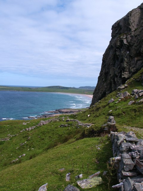
Loch Conailbhe is a picturesque freshwater lake situated in the region of Argyllshire, Scotland. Nestled amidst the stunning landscape of the Scottish Highlands, it offers a serene and tranquil environment for visitors to enjoy.

Covering an area of approximately 100 acres, Loch Conailbhe is surrounded by rolling hills, verdant forests, and breathtaking moorlands. Its crystal-clear waters are fed by numerous small streams and springs, ensuring a constant flow of freshwater throughout the year.

The lake is home to diverse flora and fauna, making it an ideal spot for nature enthusiasts and wildlife lovers. The surrounding marshes provide a habitat for a wide variety of bird species, including migratory birds such as ducks, geese, and swans. Birdwatchers can spot rare species such as the red-throated diver and the common sandpiper.

Fishing is a popular activity at Loch Conailbhe, with anglers attracted by the abundance of brown trout and salmon. The lake's calm and peaceful atmosphere provides the perfect setting for a day of fishing and relaxation.

For those seeking outdoor adventures, the area surrounding Loch Conailbhe offers ample opportunities for hiking, cycling, and picnicking. Several walking trails lead to stunning viewpoints, offering panoramic vistas of the lake and its surrounding landscape.

Overall, Loch Conailbhe is a hidden gem in the heart of Argyllshire, offering a peaceful retreat for nature lovers and outdoor enthusiasts. Its unspoiled beauty and diverse ecosystem make it a must-visit destination for anyone exploring the Scottish Highlands.

If you have any feedback on the listing, please let us know in the comments section below.

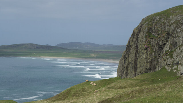
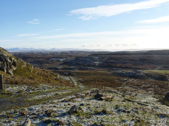
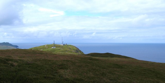
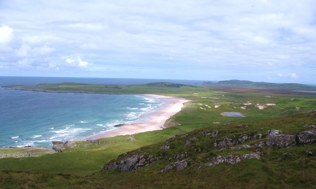
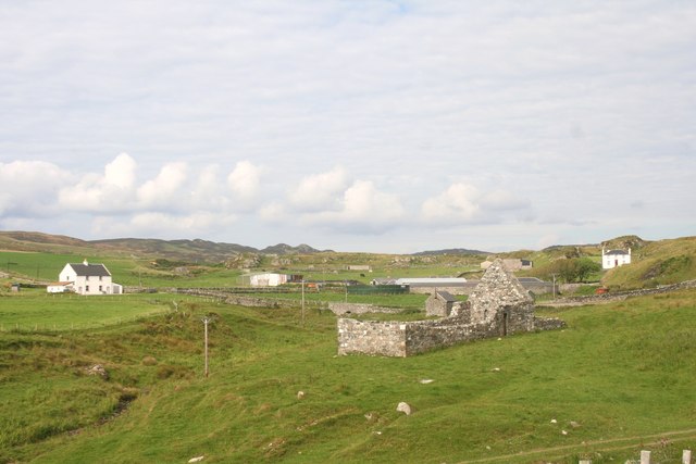
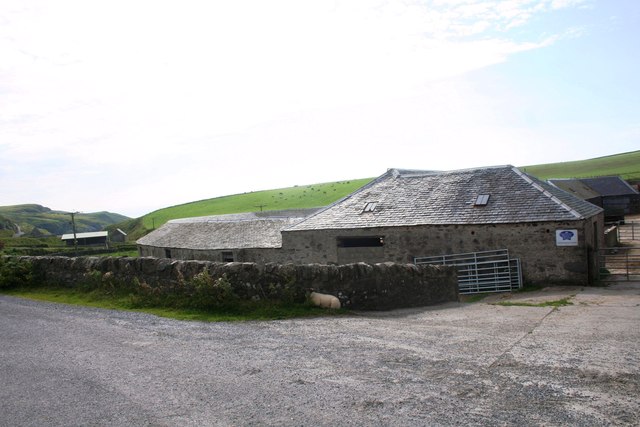
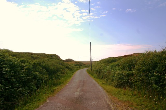
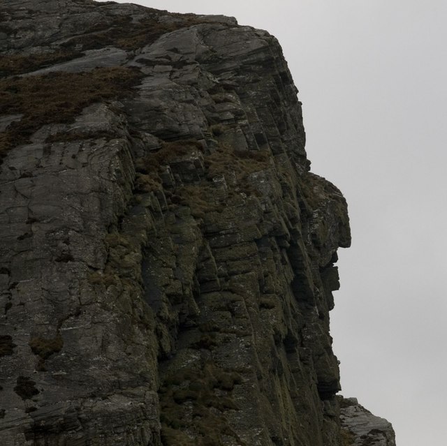
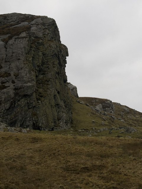
Loch Conailbhe Images

Images are sourced within 2km of 55.752857/-6.4394226 or Grid Reference NR2159. Thanks to Geograph Open Source API. All images are credited.

Disused quarry at Rubha na h-Airde Mòire
Kilchiaran Bay
Kilchiaran Bay
Creag Bealach na Caillich — Granny's Crag
Disused military buildings
Winter view south-east from Cnoc nam Muc-chlach, Islay
Kilchiaran Bay, Islay With ruined chapel in distance.
Kilchiaran Bay, Islay
With ruined chapel in distance.
Meall Riabhach Looking south west from near point 149 on the heathery ridge to the south of Kilchoman.
Meall Riabhach
Looking south west from near point 149 on the heathery ridge to the south of Kilchoman.
Rhinns scenery near Kilchoman An area of small, rough hills to the south of Kilchoman. Difficult walking through deep heather, sedges, and around small crags.
Rhinns scenery near Kilchoman
An area of small, rough hills to the south of Kilchoman. Difficult walking through deep heather, sedges, and around small crags.
View north from Cnoc nam Muc-chlach The view north from near the hilltop transmitters above Machir Bay.
View north from Cnoc nam Muc-chlach
The view north from near the hilltop transmitters above Machir Bay.
Old Woman's Pass Old Woman's Pass is the name given to this old track which crosses the headland between Kilchoman and Kilchiaran. The splendid view northwards is along the beach at Machir Bay.
Old Woman's Pass
Old Woman's Pass is the name given to this old track which crosses the headland between Kilchoman and Kilchiaran. The splendid view northwards is along the beach at Machir Bay.
Cill Chiarain The church of Saint Ciaron, this church originates from around 1200.
Cill Chiarain
The church of Saint Ciaron, this church originates from around 1200.
Kilchiaran Farm The farmstead of Kilchiaran on the Rinns of Islay.
Kilchiaran Farm
The farmstead of Kilchiaran on the Rinns of Islay.
Road to Kilchiaran The road passing through high banks close to Kilchiaran.
Road to Kilchiaran
The road passing through high banks close to Kilchiaran.
Granny Rock The profile of an old woman or 'Caillich' can be seen on this rock between Machir Bay and Kilchiaran. It is best viewed from the north. For a context photo, see <a href="https://www.geograph.org.uk/photo/2802956">NR2061 : Granny Rock, Islay</a>.
Granny Rock
The profile of an old woman or 'Caillich' can be seen on this rock between Machir Bay and Kilchiaran. It is best viewed from the north. For a context photo, see NR2061 : Granny Rock, Islay.
Granny Rock, Islay The profile of an old woman or 'Caillich' can be seen in this rock face between Machir Bay to the north and Kilchiaran to the south. It is best viewed from the north. For a closer picture, see <a href="https://www.geograph.org.uk/photo/2802952">NR2061 : Granny Rock</a>.
Granny Rock, Islay
The profile of an old woman or 'Caillich' can be seen in this rock face between Machir Bay to the north and Kilchiaran to the south. It is best viewed from the north. For a closer picture, see NR2061 : Granny Rock.
Footbridge across the Abhainn na Braid, Islay This footbridge is marked on my older version of the 1:25 000 Explorer map of Islay north, but not on the newer version that Geograph uses - the opposite way round of the water butt photo - see <a href="https://www.geograph.org.uk/photo/2802972">NR2162 : Farm Track near Machir Bay, Islay</a>
Footbridge across the Abhainn na Braid, Islay
This footbridge is marked on my older version of the 1:25 000 Explorer map of Islay north, but not on the newer version that Geograph uses - the opposite way round of the water butt photo - see NR2162 : Farm Track near Machir Bay, Islay
Ruin near Kilchiaran, Islay Marked as simply two rectangles on the Explorer map, with no name, the inhabitants of this erstwhile dwelling house surely enjoyed true tranquility. What stories could this lonely dwelling share?
Ruin near Kilchiaran, Islay
Marked as simply two rectangles on the Explorer map, with no name, the inhabitants of this erstwhile dwelling house surely enjoyed true tranquility. What stories could this lonely dwelling share?
Show me another place!

Loch Conailbhe is located at Grid Ref: NR2159 (Lat: 55.752857, Lng: -6.4394226)

Unitary Authority: Argyll and Bute

Police Authority: Argyll and West Dunbartonshire

What 3 Words

///mobile.transmits.fictional. Near Port Charlotte, Argyll & Bute

Related Wikis

Rinns of Islay

The Rinns of Islay (Scottish Gaelic: Na Roinn Ìleach; alternative English spelling Rhinns of Islay) is an area on the west of the island of Islay in the...

RAF Kilchiaran

RAF Kilchiaran was a Royal Air Force radar station situated on the Isle of Islay in Scotland. It was originally active from 1940-1945. In 1954 the base...

Kilchoman

Kilchoman ( kil-(K)HOM-ən; Scottish Gaelic: Cill Chomain [kʲʰiːʎ ˈxɔmɛɲ]) is a small settlement and large parish on the Scottish island of Islay, within...

Kilchoman distillery

Kilchoman distillery (pronounced Kil-ho-man) is a distillery that produces single malt Scotch whisky on Islay, an island of the Inner Hebrides. Kilchoman...

Nearby Amenities

Located within 500m of 55.752857,-6.4394226
Power: pole
Lat/Long: 55.7542433/-6.4430337
Power: pole
Lat/Long: 55.7533802/-6.4423849
Power: pole
Lat/Long: 55.7523666/-6.4417909
Power: pole
Lat/Long: 55.7524926/-6.4429012
Power: pole
Lat/Long: 55.7527745/-6.4452006
Power: pole
Lat/Long: 55.7530738/-6.4462562
Power: pole
Lat/Long: 55.752635/-6.4440236
Power: pole
Lat/Long: 55.7549811/-6.4436032
Power: pole
Lat/Long: 55.7557546/-6.4442003
Power: pole
Lat/Long: 55.7518488/-6.4398298
Power: pole
Lat/Long: 55.7513241/-6.4378424
Power: pole
Lat/Long: 55.7505688/-6.4349817
Power: pole
Lat/Long: 55.7509303/-6.4363507
Tylochan
Name Gd: Taigh an Lochain
Place: locality
Lat/Long: 55.7523122/-6.4429007
The data included in this document is from www.openstreetmap.org. The data is made available under ODbL.

Have you been to Loch Conailbhe?

Leave your review of Loch Conailbhe below (or comments, questions and feedback).