Loch na Clibhe

Lake, Pool, Pond, Freshwater Marsh in Ross-shire

Scotland

Loch na Clibhe

Liuthaid Summit, Lewis From road via good track then up steep east slope, heavy shower with hail. In group with Jonathan de Ferranti, Jim Bloomer & Mat Webster. Then onto Cearnabhal.

Name: Liuthaid
Hill number: 1564
Height: 492m / 1614ft
Area: 24B: Harris and Nearby Islands
Class: Ma,4
Grid ref: NB 17537 13627
Summit feature: cairn
Drop: 307m
Col: 185m  NB156115
Liuthaid Summit, Lewis Credit: Rude Health

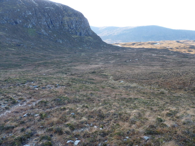
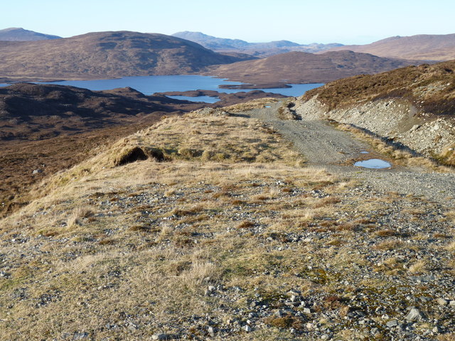
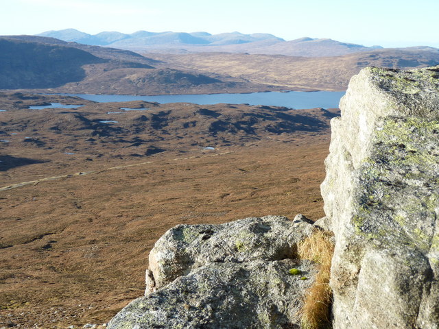
Loch na Clibhe is a picturesque freshwater loch located in Ross-shire, Scotland. Covering an area of approximately 50 hectares, it is nestled within the stunning landscape of the Scottish Highlands. The loch is surrounded by rolling hills and abundant greenery, making it an idyllic spot for nature enthusiasts and photographers.

Surrounded by peat bogs and heather moorlands, Loch na Clibhe is a haven for various species of flora and fauna. The loch itself is home to a diverse range of freshwater fish, including brown trout and pike, attracting anglers from far and wide. Its crystal-clear waters provide an excellent opportunity for fishing and observing underwater life.

The surrounding area of Loch na Clibhe is a natural habitat for a wide variety of bird species, such as common sandpipers, herons, and curlews. Birdwatchers flock to the loch to catch a glimpse of these magnificent creatures in their natural habitat. The loch's surrounding wetlands also support a rich diversity of plant life, including water lilies, reeds, and various species of aquatic plants.

Visitors can enjoy the tranquility of Loch na Clibhe by taking leisurely walks along the shores or embarking on boat trips to explore the loch's hidden corners. The breathtaking scenery and serene atmosphere make it an ideal location for outdoor activities, picnics, and relaxation. Loch na Clibhe truly offers a slice of untouched natural beauty in the heart of Ross-shire.

If you have any feedback on the listing, please let us know in the comments section below.

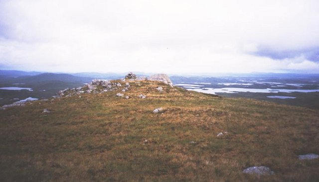
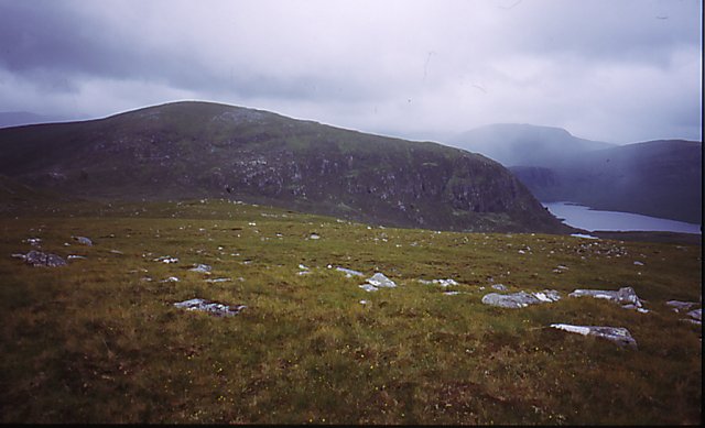
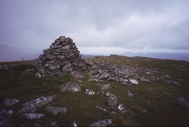
Loch na Clibhe Images

Images are sourced within 2km of 58.031445/-6.7973941 or Grid Reference NB1614. Thanks to Geograph Open Source API. All images are credited.
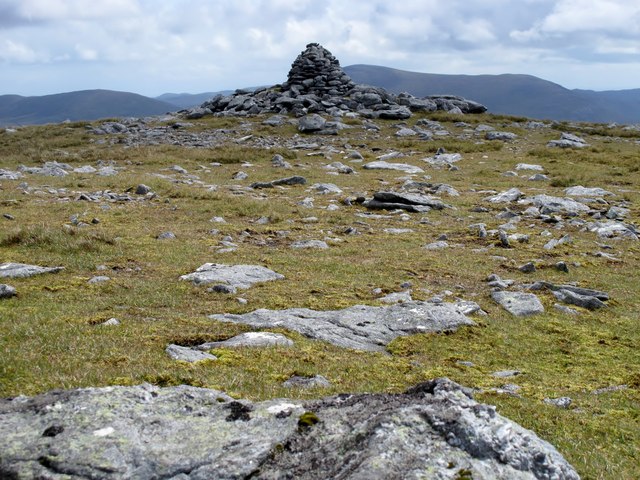
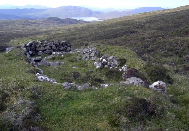
Liuthaid Summit, Lewis From road via good track then up steep east slope, heavy shower with hail. In group with Jonathan de Ferranti, Jim Bloomer & Mat Webster. Then onto Cearnabhal.

Name: Liuthaid
Hill number: 1564
Height: 492m / 1614ft
Area: 24B: Harris and Nearby Islands
Class: Ma,4
Grid ref: NB 17537 13627
Summit feature: cairn
Drop: 307m
Col: 185m  NB156115
Liuthaid Summit, Lewis
From road via good track then up steep east slope, heavy shower with hail. In group with Jonathan de Ferranti, Jim Bloomer & Mat Webster. Then onto Cearnabhal. Name: Liuthaid Hill number: 1564 Height: 492m / 1614ft Area: 24B: Harris and Nearby Islands Class: Ma,4 Grid ref: NB 17537 13627 Summit feature: cairn Drop: 307m Col: 185m NB156115
Kearnaval [Cearnabhal] After Liuthaid with Jim Bloomer and Jonathan de Ferranti.


Name: Kearnaval [Cearnabhal]
Hill number: 1571
Height: 378m / 1240ft
Area: 24A: Lewis and Nearby Islands
Class: Ma
Grid ref: NB 18642 15741
Summit feature: rock outcrop 5m SE of cairn
Drop: 160m
Col: 218m  NB181141
Kearnaval [Cearnabhal]
After Liuthaid with Jim Bloomer and Jonathan de Ferranti. Name: Kearnaval [Cearnabhal] Hill number: 1571 Height: 378m / 1240ft Area: 24A: Lewis and Nearby Islands Class: Ma Grid ref: NB 18642 15741 Summit feature: rock outcrop 5m SE of cairn Drop: 160m Col: 218m NB181141
Cearnabhal Summit of Cearnabhal overlooking the complex of the Langabhat loch system.
Cearnabhal
Summit of Cearnabhal overlooking the complex of the Langabhat loch system.
On Cearnabhal Getting to the hill involves crossing some wet and slippery ground, but the higher parts of the hill are easier drier ground. View across the summit plateau towards
Liuthaid and the hilly end of Loch Langavat.
On Cearnabhal
Getting to the hill involves crossing some wet and slippery ground, but the higher parts of the hill are easier drier ground. View across the summit plateau towards Liuthaid and the hilly end of Loch Langavat.
Liuthaid The summit (492m). A flat area, although the surrounding slopes are steep and very slippery.
Liuthaid
The summit (492m). A flat area, although the surrounding slopes are steep and very slippery.
The Sheiling A shieling close to the Loch Langavat path.
The Sheiling
A shieling close to the Loch Langavat path.
Kearnaval summit The small cairn on top of Kearnaval.
Kearnaval summit
The small cairn on top of Kearnaval.
Liuthaid summit The cairn of Liuthaid looking towards Loch Seaforth.
Liuthaid summit
The cairn of Liuthaid looking towards Loch Seaforth.
Mullach Vigadale cairn The large well built cairn on the summit of Mullach Vigadale.
Mullach Vigadale cairn
The large well built cairn on the summit of Mullach Vigadale.
Cleit Earscleit Cleit Earscleit in the foreground with Creag na Lubaig on the edge of Loch Lanagavat in the middle distance and the summit of Stuabhal behind
Cleit Earscleit
Cleit Earscleit in the foreground with Creag na Lubaig on the edge of Loch Lanagavat in the middle distance and the summit of Stuabhal behind
Moorland below Creag na Clibhe
The track to Loch Langabhat
Cleiteichean Mhiabhaig with Loch Langabhat behind
Show me another place!

Loch na Clibhe is located at Grid Ref: NB1614 (Lat: 58.031445, Lng: -6.7973941)

Unitary Authority: Na h-Eileanan an Iar

Police Authority: Highlands and Islands

What 3 Words

///lends.glorified.factually. Near Tarbert, Na h-Eileanan Siar

Nearby Locations

Loch na Clibhe

Related Wikis

Ardvourlie Castle

Ardvourlie Castle is a 19th-century country house on Harris, one of the Western Isles off the north-west coast of Scotland. The house was built beside...

Seaforth Island

Seaforth Island (Scottish Gaelic: Eilean Shìphoirt/Shìophoirt or Mulag) is an uninhabited island in the Outer Hebrides of Scotland. Unlike many other...

Uisgneabhal Mor

Uisgnabhal Mor (729 m) is a mountain in Harris, in the Outer Hebrides of Scotland. A complex mountain of several ridges and summits, it lies in the centre...

Airidh a' Bhruaich

Airidh a' Bhruaich (Arivruaich - anglicised) is a scattered crofting township in the South Lochs district of the Isle of Lewis in the Outer Hebrides of...

Nearby Amenities

Located within 500m of 58.031445,-6.7973941
Airigh na Clibhe
Place: locality
Lat/Long: 58.0305737/-6.7902659
The data included in this document is from www.openstreetmap.org. The data is made available under ODbL.

Have you been to Loch na Clibhe?

Leave your review of Loch na Clibhe below (or comments, questions and feedback).