Genesis Green

Settlement in Suffolk West Suffolk

England

Genesis Green

Cropmarks on fields north of Meeting Green: aerial 2022 (1)
Cropmarks on fields north of Meeting Green: aerial 2022 (1) Credit: Chris

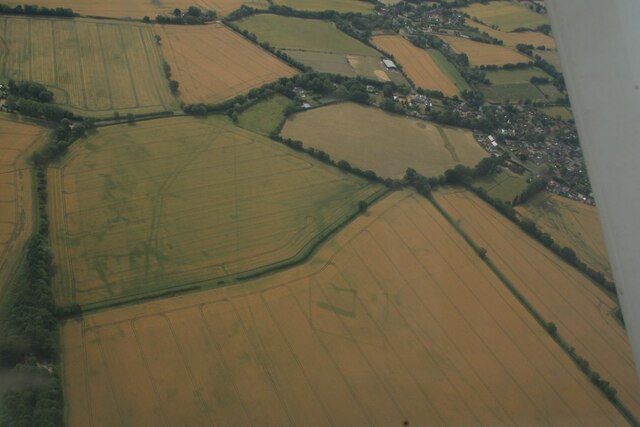
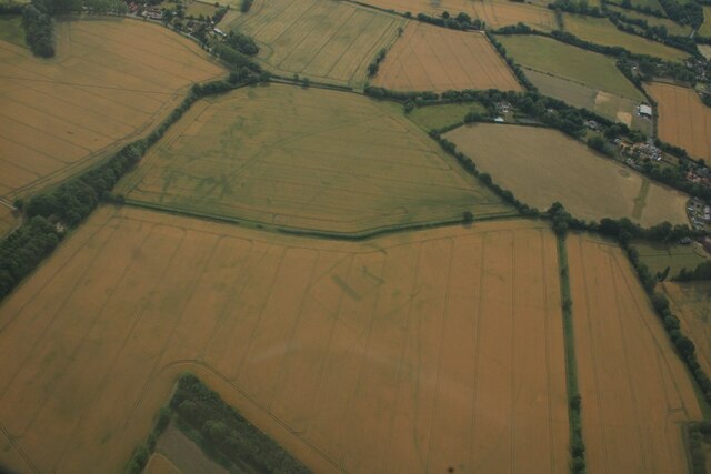
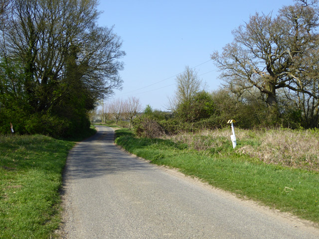
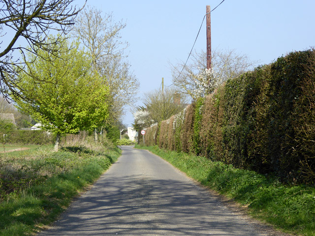
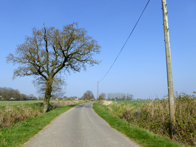
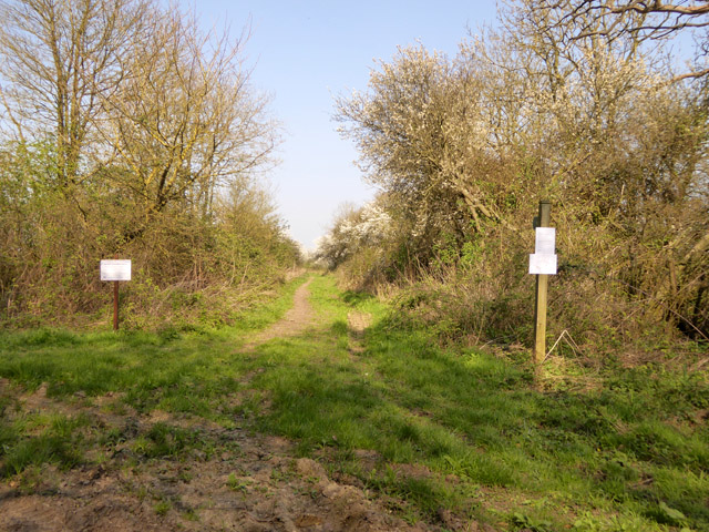
Genesis Green is a small village located in the county of Suffolk, England. Situated in the rural countryside, it is surrounded by beautiful rolling hills and picturesque landscapes. The village is part of the larger district of Mid Suffolk and is approximately 18 miles northeast of the county town, Ipswich.

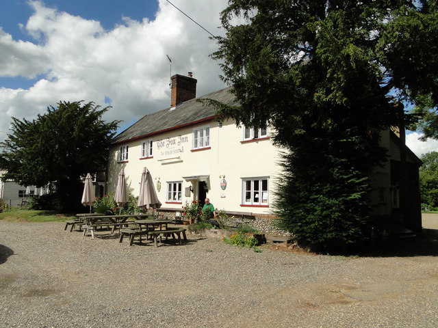
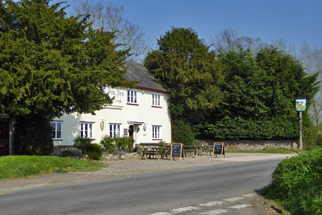
With a population of around 500 residents, Genesis Green is known for its tight-knit community and friendly atmosphere. The village is characterized by its quaint cottages and traditional architecture, which adds to its charm and appeal. The village is home to a local pub, The Green Inn, which serves as a popular meeting place for both residents and visitors.

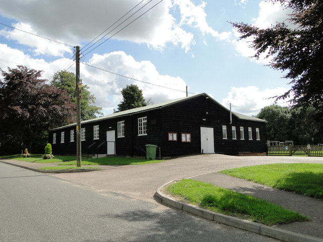
Genesis Green offers a range of amenities to its residents, including a primary school, a village hall, and a small convenience store. The primary school, known as Genesis Green Primary, provides education for children aged 5-11 and has a reputation for its high academic standards.

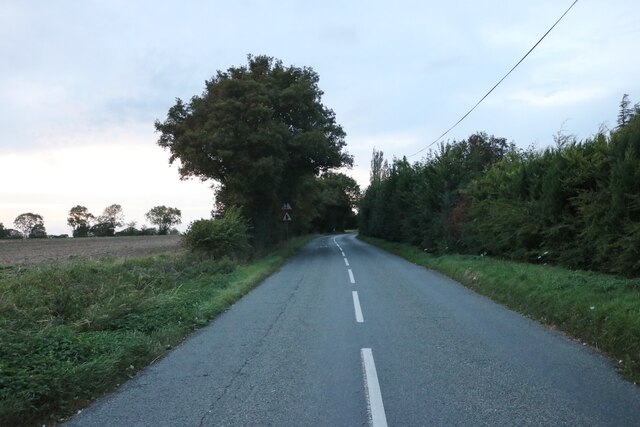
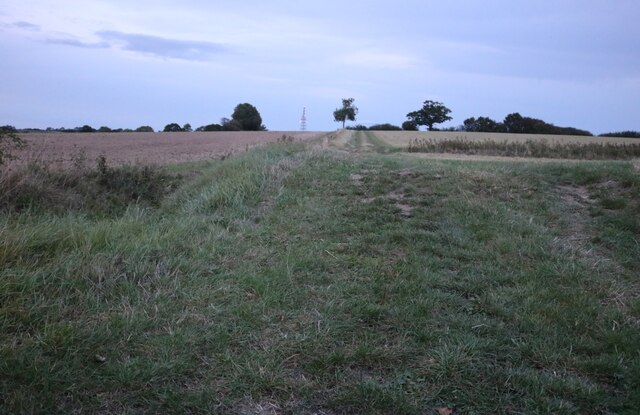
The surrounding countryside provides ample opportunities for outdoor activities, such as hiking, cycling, and horse riding. The village is also well-connected to other nearby towns and cities, with good transport links to Ipswich and the rest of Suffolk.

Overall, Genesis Green offers a peaceful and idyllic lifestyle for its residents, with a strong sense of community and a beautiful natural environment.

If you have any feedback on the listing, please let us know in the comments section below.

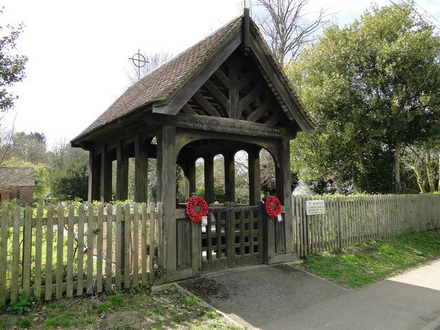
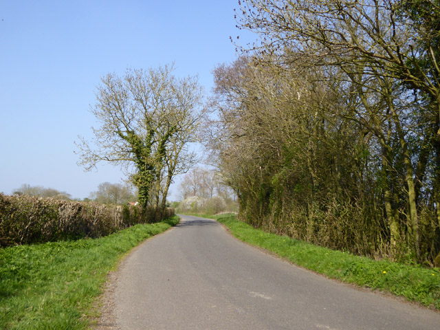
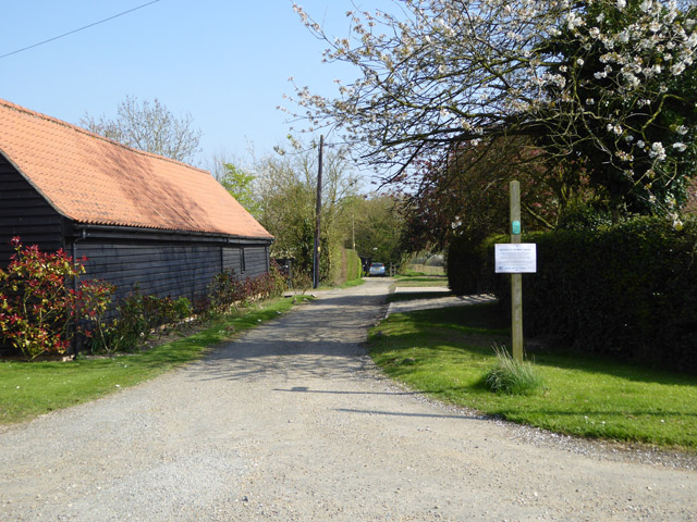
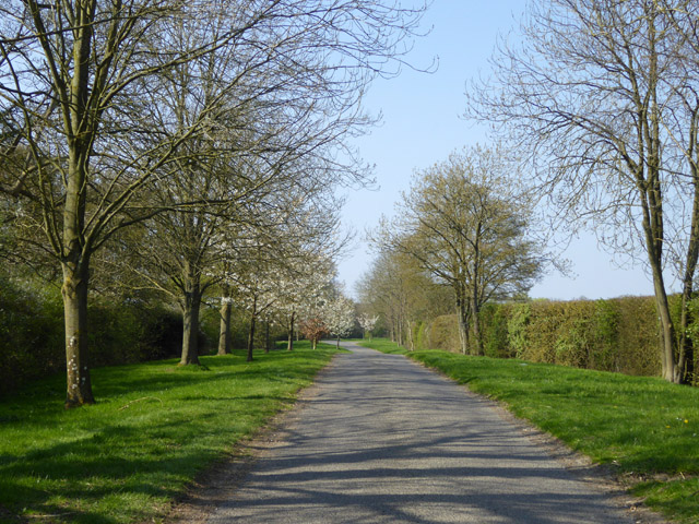
Genesis Green Images

Images are sourced within 2km of 52.187394/0.55844525 or Grid Reference TL7457. Thanks to Geograph Open Source API. All images are credited.

Cropmarks on fields north of Meeting Green: aerial 2022 (1)
Cropmarks on fields north of Meeting Green: aerial 2022 (2)
The B1063, Wickhambook
Field by the B1063, Boyden End The aerial is over a mile away in Genesis Green
Field by the B1063, Boyden End
The aerial is over a mile away in Genesis Green
Ousden Community Centre and village hall
The Fox public house, Ousden The sign > <a title="https://www.geograph.org.uk/photo/4635602" href="https://www.geograph.org.uk/photo/4635602">Link</a>
The Fox public house, Ousden
The sign > Link
The sign of The Fox public house <a title="https://www.geograph.org.uk/photo/4635601" href="https://www.geograph.org.uk/photo/4635601">Link</a>
The sign of The Fox public house
Hargrave village limits at Lady's Green
Ousden's WW1 War Memorial cemetery lych-gate The names of the 19 men are inscribed around the inside beneath the roof.
View the names - <span class="nowrap"><a title="http://media.geograph.org.uk/files/fe9fc289c3ff0af142b6d3bead98a923/Memorial_Names_OUSDEN.pdf" rel="nofollow ugc noopener" href="http://media.geograph.org.uk/files/fe9fc289c3ff0af142b6d3bead98a923/Memorial_Names_OUSDEN.pdf">Link</a><img style="margin-left:2px;" alt="External link" title="External link - shift click to open in new window" src="https://s1.geograph.org.uk/img/external.png" width="10" height="10"/></span>
Ousden's WW1 War Memorial cemetery lych-gate
The names of the 19 men are inscribed around the inside beneath the roof. View the names - LinkExternal link
Lane north from Wickhambrook
Public byway east from Park Gate The notice on the post is addressed to byway users but I could not read the small print from a distance.
Public byway east from Park Gate
The notice on the post is addressed to byway users but I could not read the small print from a distance.
Back Street Lined with trees along this stretch, cherries further along.
Back Street
Lined with trees along this stretch, cherries further along.
Buried CLH-PS (formerly GPSS) pipeline under Back Street According to the marker plate, an 8" oil pipeline flowing from left to right. The abbreviations on the plate indicate this is the Saffron Walden - Claydon section of the Saffron Walden - Thetford spur.
Buried CLH-PS (formerly GPSS) pipeline under Back Street
According to the marker plate, an 8" oil pipeline flowing from left to right. The abbreviations on the plate indicate this is the Saffron Walden - Claydon section of the Saffron Walden - Thetford spur.
The Fox Inn, Ousden The blackboard advises that food is served Thursday to Sunday.
The Fox Inn, Ousden
The blackboard advises that food is served Thursday to Sunday.
Lord's Lane, Ousden From Back Street to Front Street.
Lord's Lane, Ousden
From Back Street to Front Street.
Lord's Lane, Ousden From Back Street to Front Street.
Lord's Lane, Ousden
From Back Street to Front Street.
Public byway, Badmondisfield End I forget what the signs said, but  I don't think it was anything permanent.
Public byway, Badmondisfield End
I forget what the signs said, but I don't think it was anything permanent.
Pipeline information plate by Back Street For an attempt to decipher this , see <a href="https://www.geograph.org.uk/photo/5343430">TL7458 : Buried CLH-PS (formerly GPSS) pipeline under Back Street</a> .
Pipeline information plate by Back Street
Show me another place!

Genesis Green is located at Grid Ref: TL7457 (Lat: 52.187394, Lng: 0.55844525)

Administrative County: Suffolk

District: West Suffolk

Police Authority: Suffolk

What 3 Words

///landscape.tricks.warriors. Near Kedington, Suffolk

Nearby Locations

Spring Wood Genesis Green

Related Wikis

Coltsfoot Green

Coltsfoot Green is a small hamlet within the village of Wickhambrook, Suffolk, England. It constitutes one of its eleven village greens and consists of...

Wickhambrook

Wickhambrook is a village and civil parish in the West Suffolk district of Suffolk in eastern England. It is about ten miles (16 km) south-west from Bury...

Ousden

Ousden is a village and civil parish in the West Suffolk district of Suffolk in eastern England. It is located around six miles west of Bury St Edmunds...

Lidgate

Lidgate is a small village and a civil parish in the West Suffolk district, in the English county of Suffolk. Lidgate is located on the B1063 road in between...

Nearby Amenities

Located within 500m of 52.187394,0.55844525
Bus Stop
The Cottage
Naptan AtcoCode: 390050138
Naptan Bearing: N
Naptan BusStopType: CUS
Naptan CommonName: The Cottage
Naptan Indicator: opp
Naptan Landmark: The Cottage
Naptan NaptanCode: sufgdmag
Naptan Street: Unclassified
Naptan Verified: no
Source: naptan_import
Lat/Long: 52.1874609/0.5585347
Bus Stop
The Cottage
Naptan AtcoCode: 390050139
Naptan Bearing: S
Naptan BusStopType: CUS
Naptan CommonName: The Cottage
Naptan Indicator: adj
Naptan Landmark: The Cottage
Naptan NaptanCode: sufgdmaj
Naptan Street: Unclassified
Naptan Verified: no
Source: naptan_import
Lat/Long: 52.1871901/0.5585776
Genesis Green
Place: hamlet
Lat/Long: 52.1883375/0.5572828
Post Box
Collection Times: Mo-Fr 16:30; Sa 08:45
Operator: Royal Mail
Post Box Type: wall
Ref: CB8 40
Royal Cypher: VR
Royal Cypher Wikidata: Q33102356
Source: survey
Lat/Long: 52.1875229/0.558391
The data included in this document is from www.openstreetmap.org. The data is made available under ODbL.

Have you been to Genesis Green?

Leave your review of Genesis Green below (or comments, questions and feedback).