Loch Eishort
Lake, Pool, Pond, Freshwater Marsh in Inverness-shire
Scotland
Loch Eishort
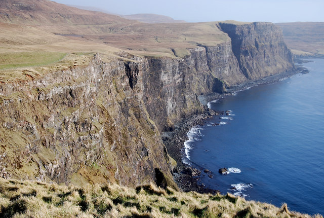
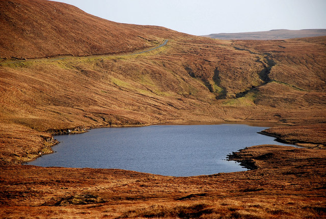
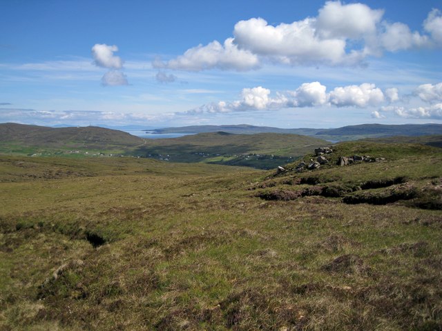
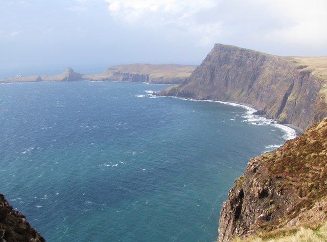
Loch Eishort is a picturesque body of water located in Inverness-shire, Scotland. It is classified as a sea loch, meaning it is a long, narrow inlet of the sea that penetrates the land. The loch stretches for approximately 5 miles, and its maximum width is around 2 miles.
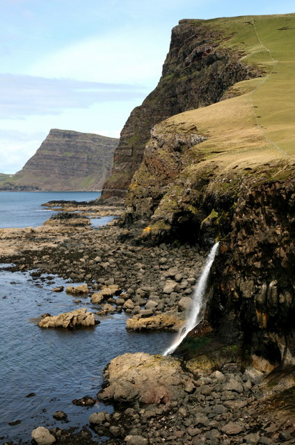
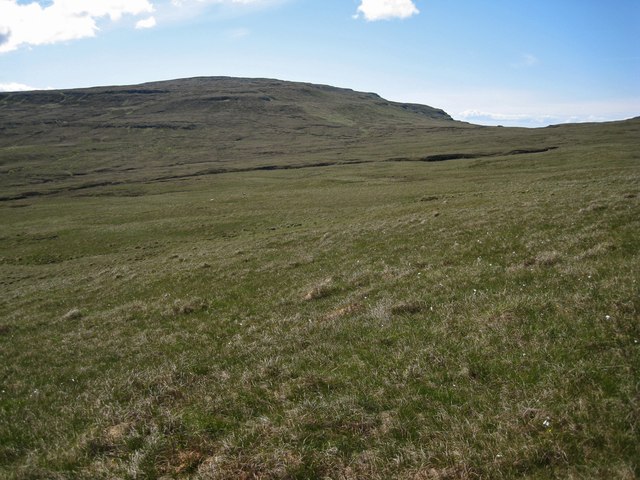
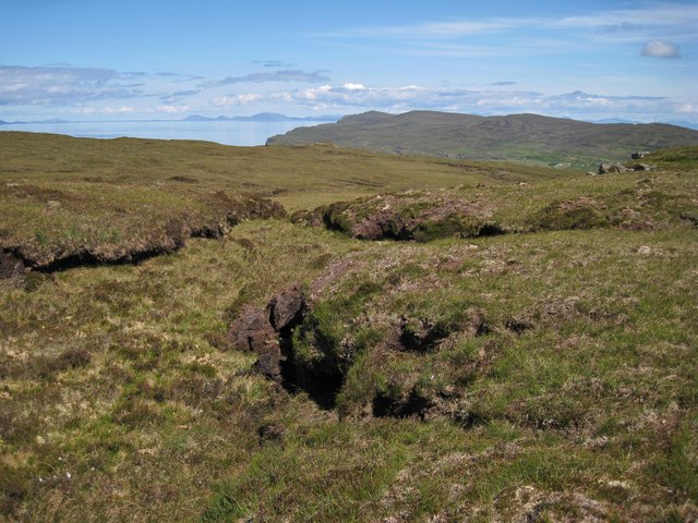
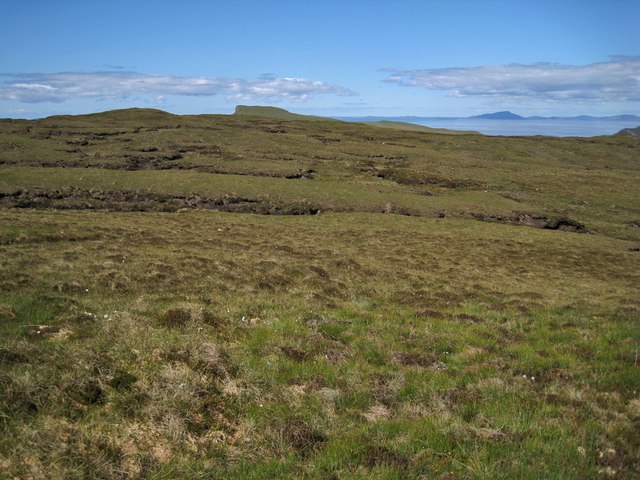
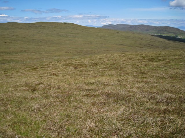
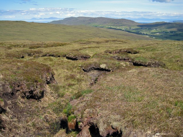
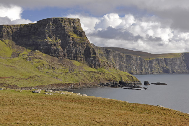
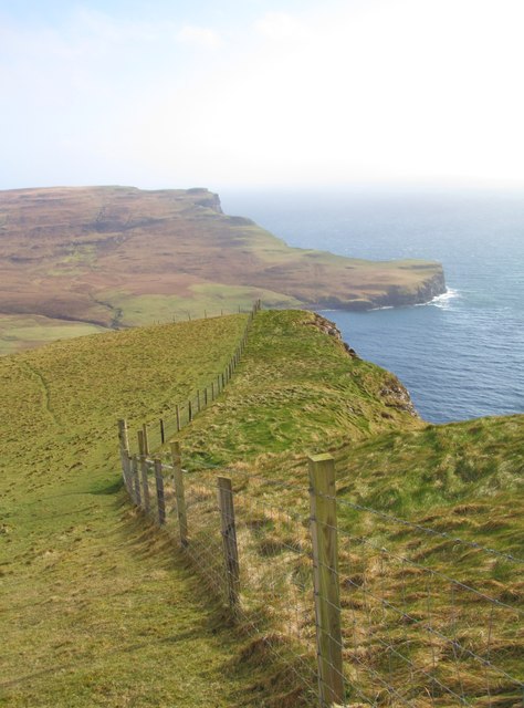
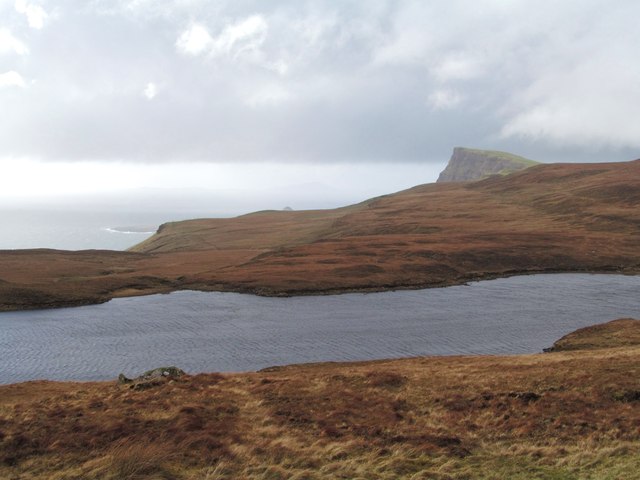
Surrounded by breathtaking natural scenery, Loch Eishort offers visitors a tranquil and serene environment to explore. The loch is nestled between the majestic Cuillin Mountains to the south and the rugged coastline to the north, providing stunning views from all angles. The crystal-clear waters of Loch Eishort are home to a variety of marine life, including seals, otters, and a diverse range of fish species.
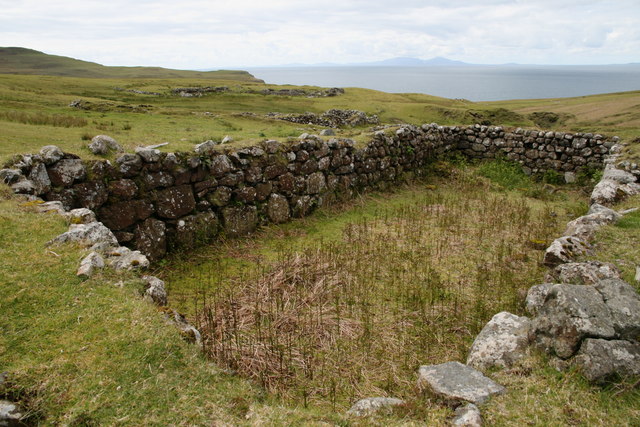
In addition to its natural beauty, Loch Eishort also boasts a rich cultural heritage. It is believed to have been inhabited by humans for thousands of years, with evidence of ancient settlements and burial sites in the surrounding area. The loch has also been a popular spot for fishing and boating enthusiasts, with its calm waters and abundance of fish.
Loch Eishort is a haven for birdwatchers, as it serves as an important habitat for various bird species. The loch and its surrounding wetlands provide a suitable breeding ground for birds such as herons, ducks, and geese. It is also home to rare plant species, making it a valuable freshwater marsh ecosystem.
Overall, Loch Eishort is a hidden gem in the heart of Inverness-shire, offering a perfect blend of natural beauty, cultural significance, and diverse wildlife.
If you have any feedback on the listing, please let us know in the comments section below.
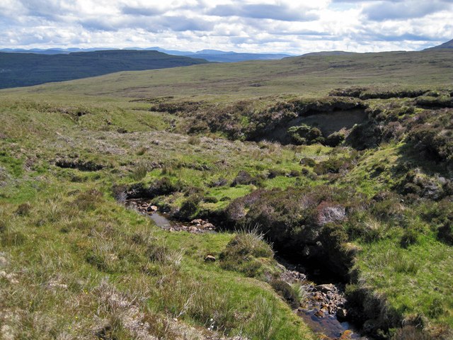
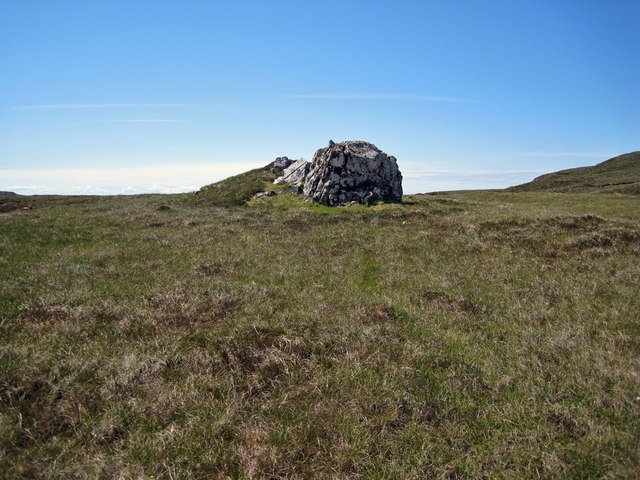
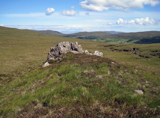
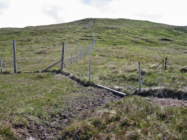
Loch Eishort Images
Images are sourced within 2km of 57.413817/-6.7293946 or Grid Reference NG1645. Thanks to Geograph Open Source API. All images are credited.
Loch Eishort is located at Grid Ref: NG1645 (Lat: 57.413817, Lng: -6.7293946)
Unitary Authority: Highland
Police Authority: Highlands and Islands
What 3 Words
///briefing.highlight.riot. Near Glendale, Highland
Nearby Locations
Related Wikis

Borrodale
Borrodale (Scottish Gaelic: Borodail) is small hamlet on the Isle of Skye, in the Inner Hebrides of Scotland. Borrodale is part of Glendale and the Glendale...
Ramasaig
Ramasaig is a small township on the western shore of the Duirinish peninsula, on Dunvegan, Isle of Skye and is in the Scottish Highlands and is in the...
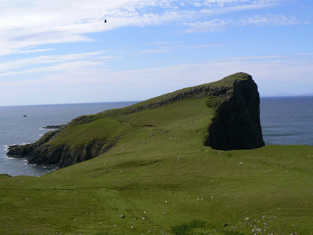
Neist Point
Neist Point (Scottish Gaelic: Rubha na h-Eist) is a viewpoint on the most westerly point of Skye. Neist Point Lighthouse has been located there since...
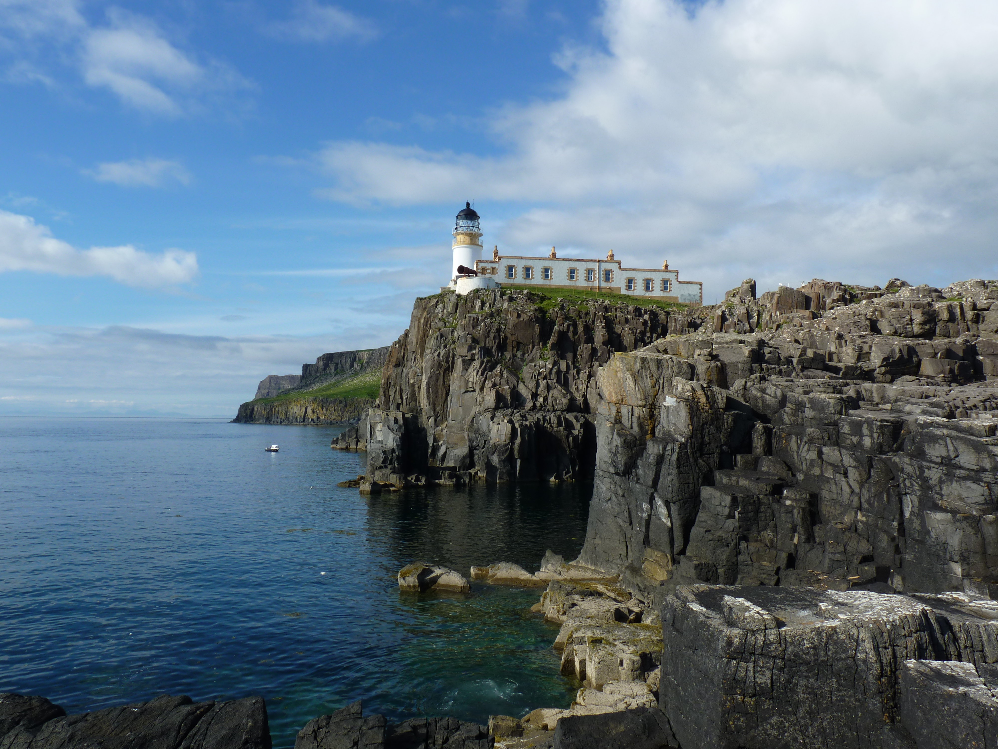
Neist Point Lighthouse
Neist Point Lighthouse is a lighthouse located on Neist Point on the Isle of Skye in Scotland. It was designed by David Alan Stevenson and was first lit...
Nearby Amenities
Located within 500m of 57.413817,-6.7293946Have you been to Loch Eishort?
Leave your review of Loch Eishort below (or comments, questions and feedback).