Caol Lochan
Lake, Pool, Pond, Freshwater Marsh in Ross-shire
Scotland
Caol Lochan
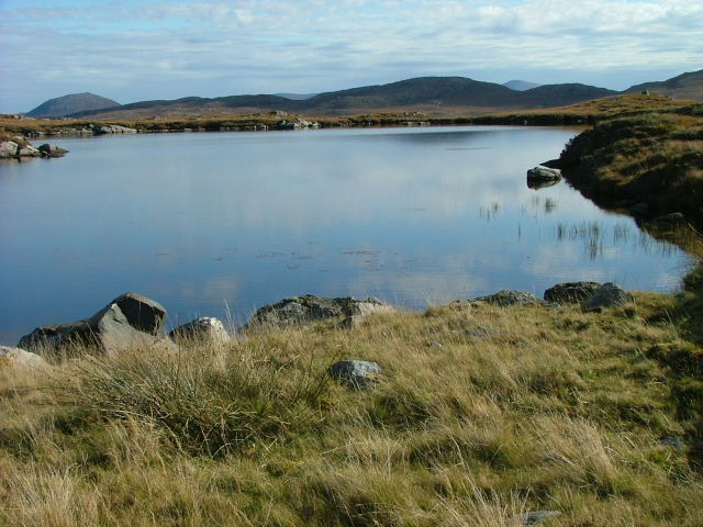
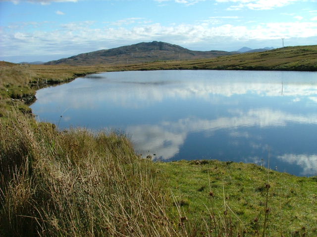
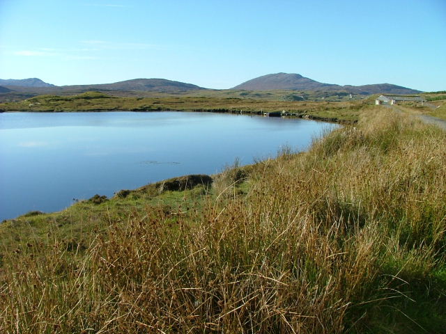
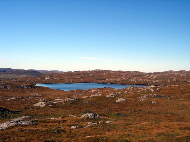
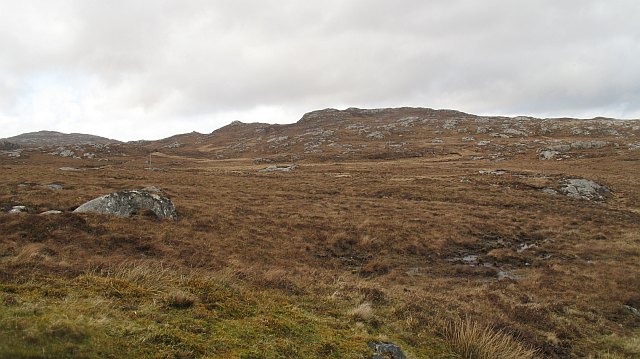
Caol Lochan is a picturesque freshwater loch located in Ross-shire, Scotland. Nestled amidst the stunning Highland scenery, this enchanting body of water is a popular destination for nature enthusiasts and outdoor adventurers.
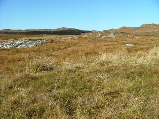
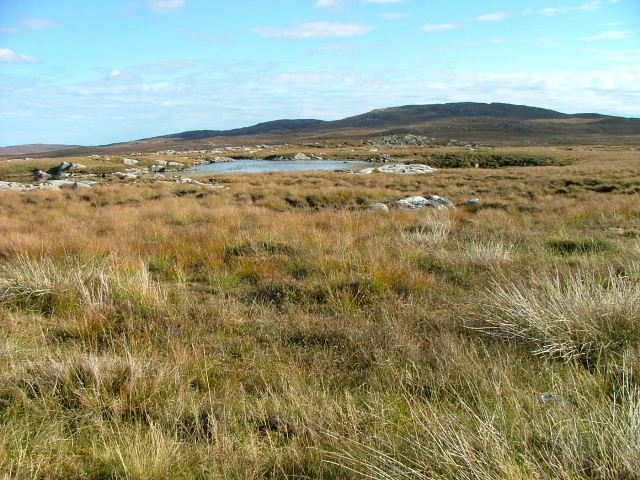
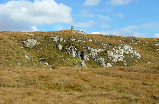
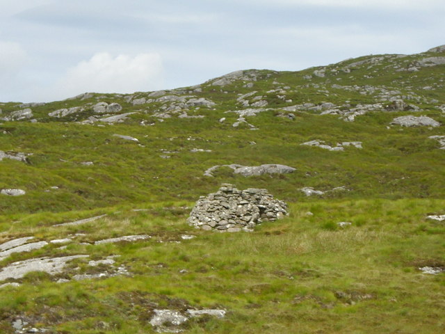
With a surface area of approximately 5 hectares, Caol Lochan is relatively small, but it is rich in biodiversity. The loch is surrounded by lush vegetation, including reeds, grasses, and various aquatic plants. These plants provide habitats for a diverse range of species, making it an important freshwater marsh ecosystem.
The loch itself is home to numerous species of fish, such as brown trout and pike, making it a favorite spot for anglers. It is also a haven for birdwatchers, with a variety of waterfowl and wading birds frequenting the area. Visitors may spot the elegant great crested grebe, the vibrant kingfisher, or even the elusive osprey hunting for fish.
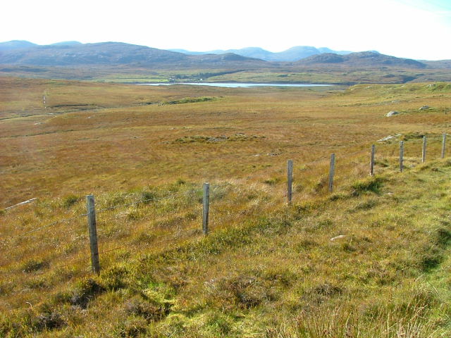
The tranquil atmosphere of Caol Lochan is perfect for a leisurely stroll along its shores or a peaceful picnic amidst the stunning natural surroundings. The loch is surrounded by rolling hills and offers breathtaking views of the nearby mountains, providing a serene and idyllic setting.
For those seeking adventure, Caol Lochan is an excellent spot for kayaking or canoeing. The calm waters and the absence of motorized boats make it an ideal location for beginners or those looking for a tranquil paddle.
In conclusion, Caol Lochan is a stunning freshwater loch in Ross-shire, Scotland, offering a wealth of natural beauty and biodiversity. Whether it's fishing, birdwatching, or simply enjoying the peaceful ambiance, this picturesque loch has something to offer every nature lover.
If you have any feedback on the listing, please let us know in the comments section below.
Caol Lochan Images
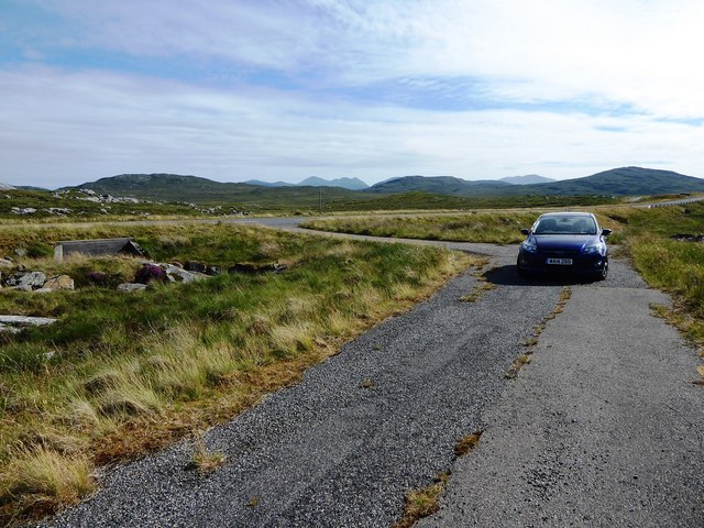
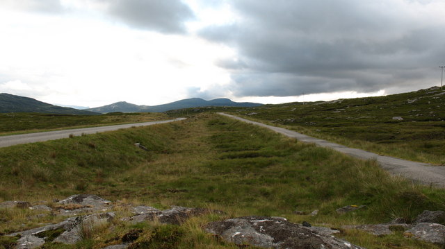
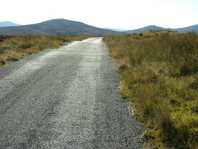
Images are sourced within 2km of 58.143076/-6.834601 or Grid Reference NB1527. Thanks to Geograph Open Source API. All images are credited.
Caol Lochan is located at Grid Ref: NB1527 (Lat: 58.143076, Lng: -6.834601)
Unitary Authority: Na h-Eileanan an Iar
Police Authority: Highlands and Islands
What 3 Words
///lame.hacksaw.prowl. Near Carloway, Na h-Eileanan Siar
Nearby Locations
Related Wikis

Gisla Hydro-Electric Scheme
Gisla Hydro-Electric Scheme was a small scheme promoted by the North of Scotland Hydro-Electric Board on the Isle of Lewis, Outer Hebrides, Scotland. It...

Callanish VIII
The Callanish VIII stone setting is one of many megalithic structures around the better-known (and larger) Calanais I on the west coast of the Isle of...

Fuaigh Beag
Fuaigh Beag or Vuia Be(a)g is an island in the Outer Hebrides. It is off the west coast of Lewis near Great Bernera in Loch Roag. Its name means "little...
Loch Ròg
Loch Ròg or Loch Roag is a large sea loch on the west coast of Lewis, Outer Hebrides. It is broadly divided into East Loch Roag and West Loch Roag with...
Have you been to Caol Lochan?
Leave your review of Caol Lochan below (or comments, questions and feedback).