Lochan Dubh
Lake, Pool, Pond, Freshwater Marsh in Ross-shire
Scotland
Lochan Dubh
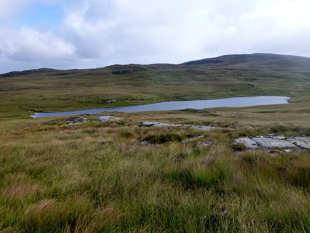
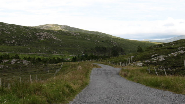
![Caultrashal Beag [Coltraiseal Beag] First HuMP of four today with Michael Earnshaw, Jim Bloomer and Martin Richardson in mixed weather.
Name: Caultrashal Beag [Coltraiseal Beag]
Hill number: 4941
Height: 226m / 741ft
Area: 24A: Lewis and Nearby Islands
Class: Hu,2
Grid ref: NB149241 (est)
Drop: 108m
Col: 118m NB161233](https://s1.geograph.org.uk/geophotos/03/69/32/3693277_9b2650d0.jpg)
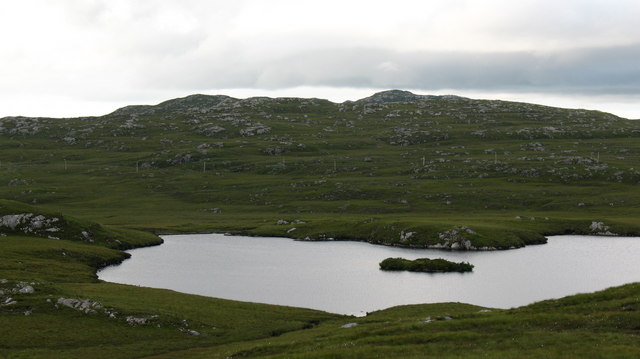
Lochan Dubh is a picturesque freshwater loch located in Ross-shire, Scotland. Nestled amidst the stunning Scottish Highlands, it offers a tranquil escape for nature enthusiasts and visitors seeking a serene landscape.
Spanning approximately 10 acres, Lochan Dubh is characterized by its calm, dark waters, which give it its name, meaning "black loch" in Scottish Gaelic. Surrounded by lush vegetation and rolling hills, the loch creates a breathtaking panoramic view that is a delight to behold.
The loch is fed by numerous small streams and springs, ensuring a constant flow of freshwater. Its depths vary, with some areas reaching up to 20 feet, making it an ideal habitat for various aquatic species. Anglers are drawn to Lochan Dubh for its abundance of brown trout, which thrive in its pristine waters.
The area surrounding the loch is a haven for wildlife, attracting a diverse range of species. Birdwatchers can spot a variety of waterfowl, such as mallards, tufted ducks, and herons, while lucky visitors might catch a glimpse of elusive otters playing along the loch's edge. The surrounding marshlands also provide a habitat for amphibians, including frogs and newts.
Lochan Dubh is a popular spot for outdoor activities such as fishing, boating, and photography. Visitors can explore the loch's tranquil beauty by taking leisurely walks along its shores or embarking on a boat trip to fully immerse themselves in the natural splendor.
Overall, Lochan Dubh offers a peaceful retreat amidst the stunning Scottish landscape, providing a captivating experience for nature lovers and those seeking solace in the beauty of the Highlands.
If you have any feedback on the listing, please let us know in the comments section below.
Lochan Dubh Images
Images are sourced within 2km of 58.11005/-6.8330083 or Grid Reference NB1523. Thanks to Geograph Open Source API. All images are credited.

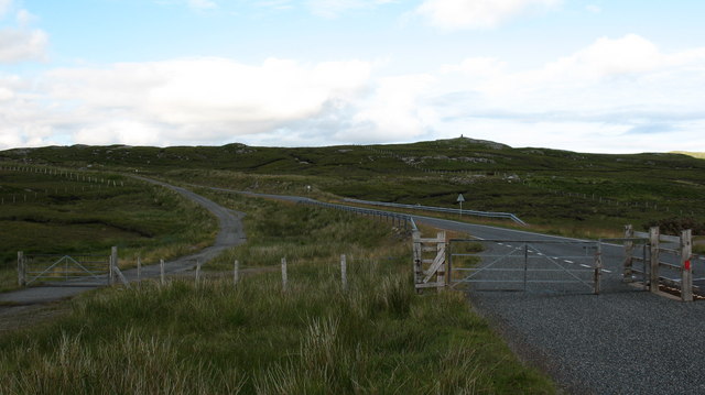
![View Towards Caultrashal Mor [Coltraiseal Mòr] On route towards the Marilyn hill called Caultrashal Mor [Coltraiseal Mòr].](https://s3.geograph.org.uk/geophotos/03/69/37/3693767_9b78ba90.jpg)
![Caultrashal Mor [Coltraiseal Mòr] Caultrashal Mor [Coltraiseal Mòr] summit cairn looking towards Caultrashal Beag [Coltraiseal Beag]. Third of four HuMPs today with Michael Earnshaw, Jim Bloomer and Martin Richardson in mixed weather.
Name: Caultrashal Mor [Coltraiseal Mòr]
Hill number: 1581
Height: 228m / 748ft
Area: 24A: Lewis and Nearby Islands
Class: Ma,2
Grid ref: NB 15875 22787
Summit feature: cairn
Drop: 162m
Col: 66m NB162258](https://s1.geograph.org.uk/geophotos/03/69/37/3693777_beb9a4d3.jpg)
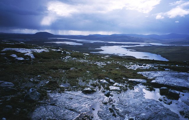
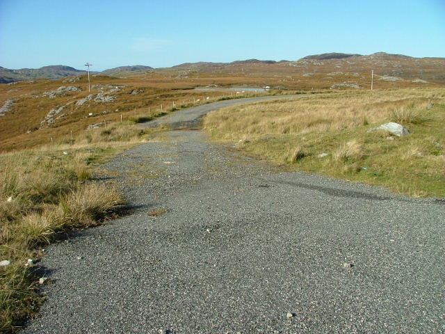
![View Towards Loch Ruadh Meadhanach A view towards Loch Ruadh Meadhanach from the lower slopes of Caultrashal Mor [Coltraiseal Mòr].](https://s3.geograph.org.uk/geophotos/03/69/37/3693795_acc940a3.jpg)
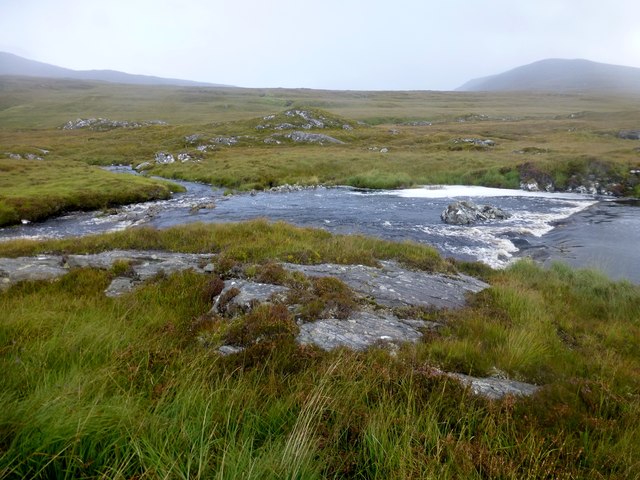

![Heading For Loch Ruah Descending from Coltraiseal Beag heading for Loch Ruadh and then Ben Mohal [Beinn Mothal].](https://s1.geograph.org.uk/geophotos/03/69/47/3694781_172fbdd9.jpg)


Lochan Dubh is located at Grid Ref: NB1523 (Lat: 58.11005, Lng: -6.8330083)
Unitary Authority: Na h-Eileanan an Iar
Police Authority: Highlands and Islands
What 3 Words
///beaks.cobble.voting. Near Carloway, Na h-Eileanan Siar
Nearby Locations
Related Wikis

Gisla Hydro-Electric Scheme
Gisla Hydro-Electric Scheme was a small scheme promoted by the North of Scotland Hydro-Electric Board on the Isle of Lewis, Outer Hebrides, Scotland. It...

Eilean Mòr, Loch Langavat
Eilean Mòr is an island in Loch Langavat on the Isle of Lewis in the Outer Hebrides of Scotland. == Footnotes ==
Have you been to Lochan Dubh?
Leave your review of Lochan Dubh below (or comments, questions and feedback).