Loch na Bà
Lake, Pool, Pond, Freshwater Marsh in Ross-shire
Scotland
Loch na Bà
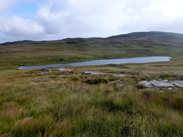
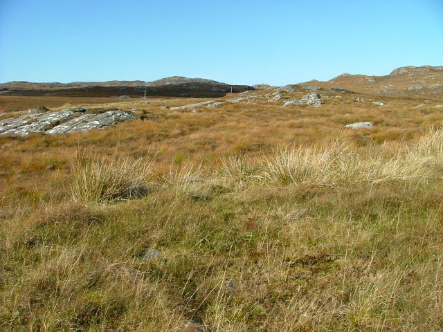
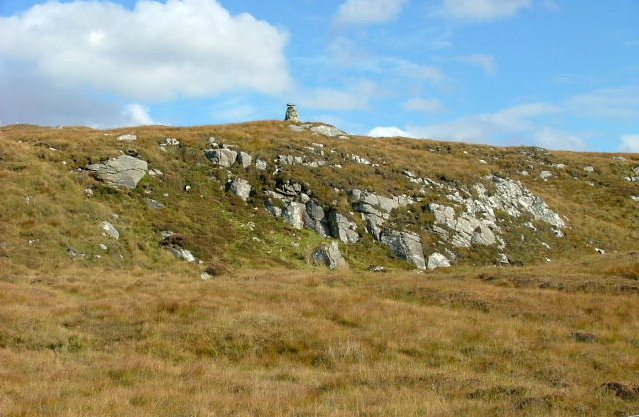
![Caultrashal Beag [Coltraiseal Beag] First HuMP of four today with Michael Earnshaw, Jim Bloomer and Martin Richardson in mixed weather.
Name: Caultrashal Beag [Coltraiseal Beag]
Hill number: 4941
Height: 226m / 741ft
Area: 24A: Lewis and Nearby Islands
Class: Hu,2
Grid ref: NB149241 (est)
Drop: 108m
Col: 118m NB161233](https://s1.geograph.org.uk/geophotos/03/69/32/3693277_9b2650d0.jpg)
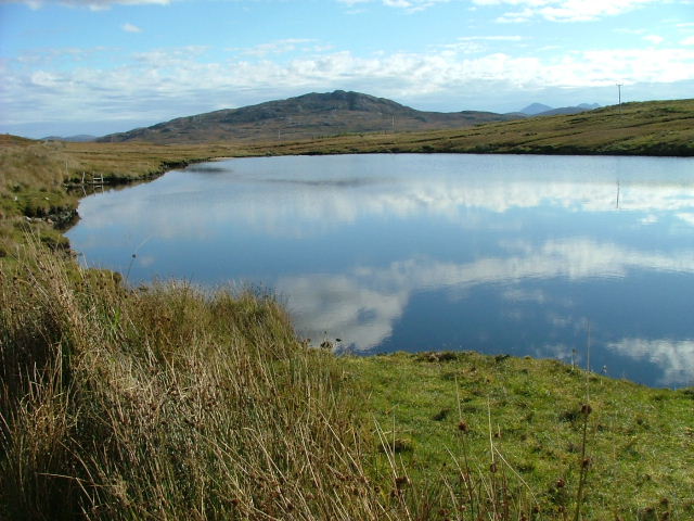
Loch na Bà is a picturesque freshwater loch located in Ross-shire, Scotland. Situated in the beautiful region of Wester Ross, this natural water body is nestled amidst the stunning Scottish Highlands. The name "Loch na Bà" translates to "Loch of the Cattle," reflecting its historical significance as a watering hole for local livestock.
Covering an area of approximately 1.5 square kilometers, Loch na Bà boasts crystal-clear waters that reflect the surrounding mountainous landscape. Surrounded by rugged hills, including the majestic Beinn Eighe and Slioch mountains, the loch offers breathtaking views and a tranquil atmosphere.
The loch is known for its diverse wildlife, making it a popular destination for nature enthusiasts and birdwatchers. Its shores are home to a variety of bird species, including common sandpipers, red-throated divers, and golden eagles. Occasionally, visitors may also spot otters playing in the water or deer grazing along the shoreline.
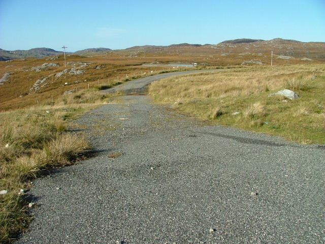
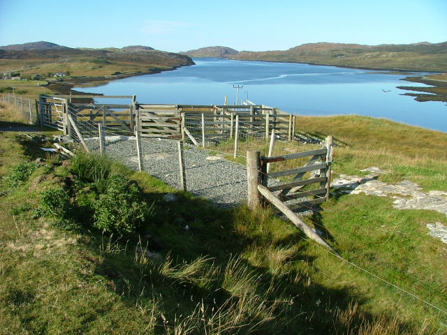
Loch na Bà is easily accessible by road, with a car park located nearby, providing convenient access for visitors. The loch is an ideal spot for outdoor activities such as fishing and boating, with permits available for fishing enthusiasts.
Surrounded by the rugged beauty of the Scottish Highlands, Loch na Bà offers a serene and picturesque retreat for those seeking to immerse themselves in nature. Its idyllic setting and abundant wildlife make it a must-visit destination for anyone exploring the Ross-shire region.
If you have any feedback on the listing, please let us know in the comments section below.
Loch na Bà Images
Images are sourced within 2km of 58.127149/-6.8377777 or Grid Reference NB1525. Thanks to Geograph Open Source API. All images are credited.

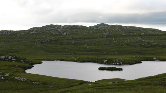
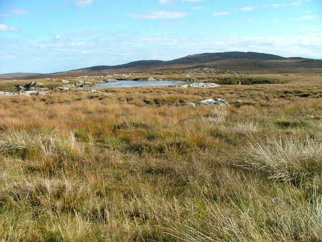
![Heading For Loch Ruah Descending from Coltraiseal Beag heading for Loch Ruadh and then Ben Mohal [Beinn Mothal].](https://s1.geograph.org.uk/geophotos/03/69/47/3694781_172fbdd9.jpg)


Loch na Bà is located at Grid Ref: NB1525 (Lat: 58.127149, Lng: -6.8377777)
Unitary Authority: Na h-Eileanan an Iar
Police Authority: Highlands and Islands
What 3 Words
///ventures.flight.makeup. Near Carloway, Na h-Eileanan Siar
Nearby Locations
Related Wikis

Gisla Hydro-Electric Scheme
Gisla Hydro-Electric Scheme was a small scheme promoted by the North of Scotland Hydro-Electric Board on the Isle of Lewis, Outer Hebrides, Scotland. It...

Eilean Mòr, Loch Langavat
Eilean Mòr is an island in Loch Langavat on the Isle of Lewis in the Outer Hebrides of Scotland. == Footnotes ==

Fuaigh Beag
Fuaigh Beag or Vuia Be(a)g is an island in the Outer Hebrides. It is off the west coast of Lewis near Great Bernera in Loch Roag. Its name means "little...

Callanish VIII
The Callanish VIII stone setting is one of many megalithic structures around the better-known (and larger) Calanais I on the west coast of the Isle of...
Nearby Amenities
Located within 500m of 58.127149,-6.8377777Have you been to Loch na Bà?
Leave your review of Loch na Bà below (or comments, questions and feedback).