Loch an To Mhòir

Lake, Pool, Pond, Freshwater Marsh in Inverness-shire

Scotland

Loch an To Mhòir

Lochan near Greosabhagh A lochan liberally sprinkled with water-lily leaves.
Lochan near Greosabhagh Credit: Anne Burgess

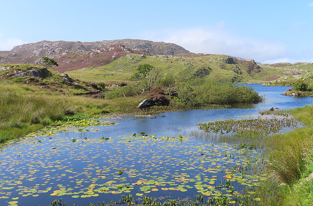
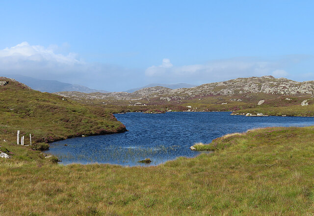
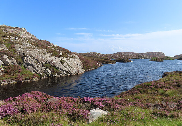
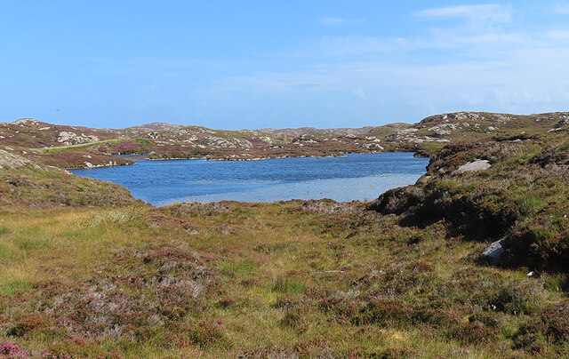
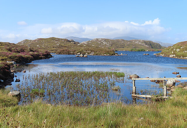
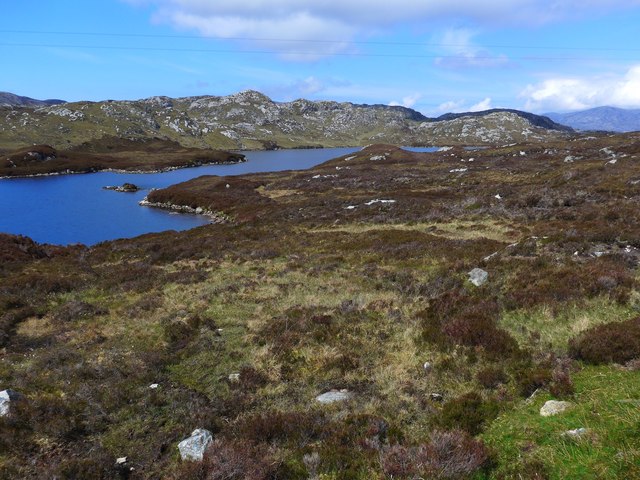
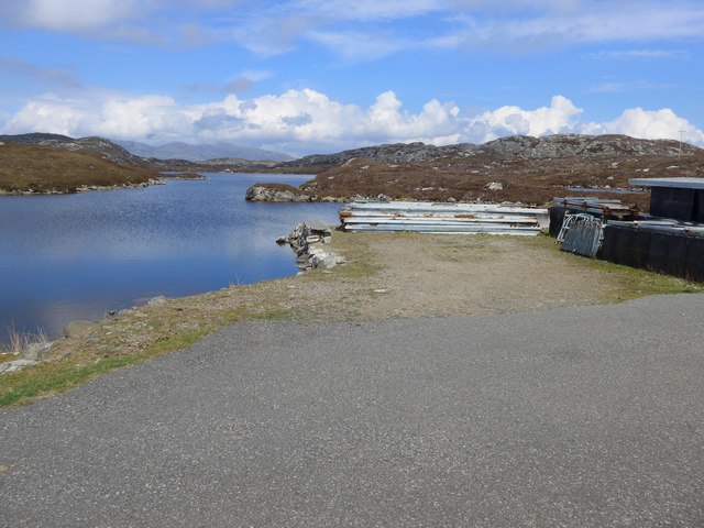
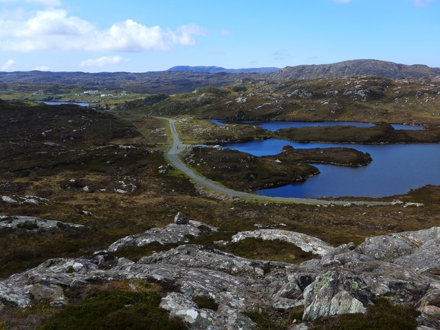
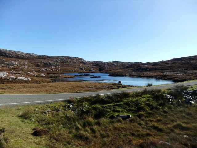
Loch an To Mhòir, located in Inverness-shire, is a picturesque freshwater lake nestled amidst the stunning Scottish Highlands. Spanning an area of approximately 50 acres, this natural wonder is a sight to behold. The name "Loch an To Mhòir" translates to "The Great Loch of the Mound," which aptly describes its grandeur.

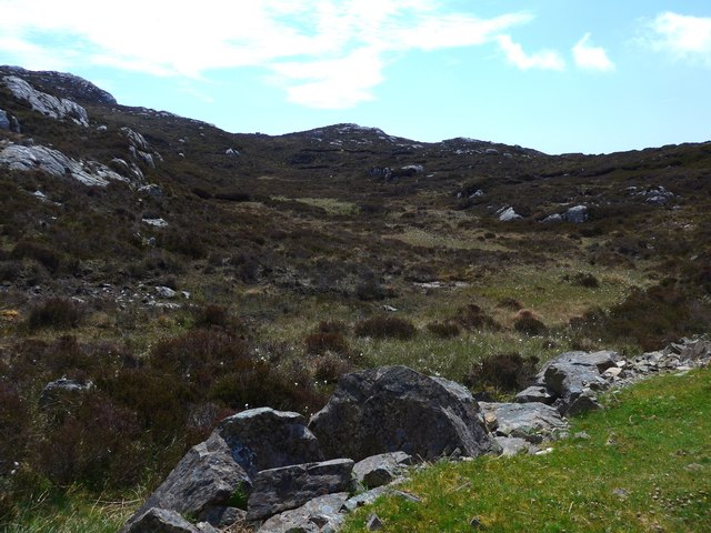
Surrounded by lush greenery and rolling hills, Loch an To Mhòir offers a tranquil escape from the bustling city life. Its crystal-clear waters are fed by numerous small streams and springs, ensuring a constant flow of fresh water. The lake is also home to a variety of aquatic flora, including water lilies and reeds, which add to its natural beauty.

The diverse ecosystem of the Loch an To Mhòir supports a wide range of wildlife. Bird enthusiasts can spot a plethora of species, such as ducks, geese, herons, and even the elusive osprey. The lake's shores provide an ideal habitat for small mammals like otters and voles, while the surrounding woodlands attract deer and other larger mammals.

Visitors can explore the lake's serene beauty by taking a leisurely stroll along its banks or enjoying a peaceful boat ride. Fishing enthusiasts are also drawn to Loch an To Mhòir, as it is known for its abundant trout population. Anglers can try their luck in catching brown trout and rainbow trout, making it a popular spot for recreational fishing.

Overall, Loch an To Mhòir is a hidden gem in Inverness-shire, offering a breathtaking natural landscape, rich wildlife, and a peaceful atmosphere that guarantees a memorable experience for all who visit.

If you have any feedback on the listing, please let us know in the comments section below.

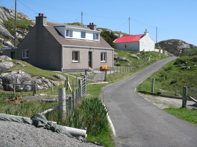
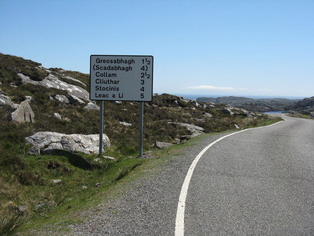
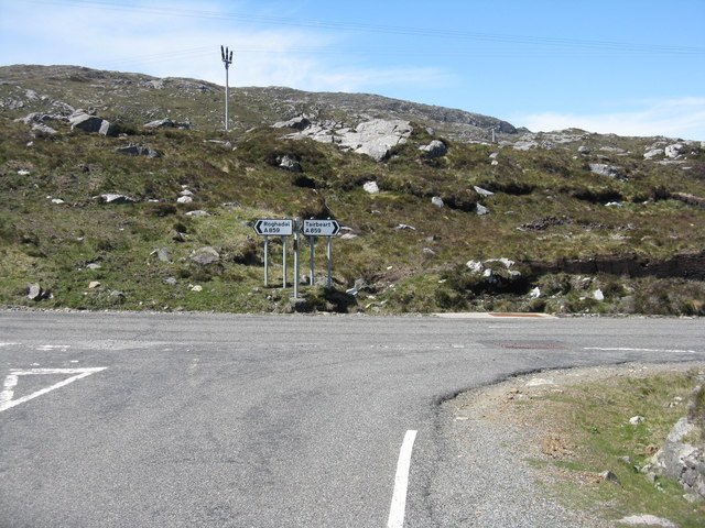
Loch an To Mhòir Images

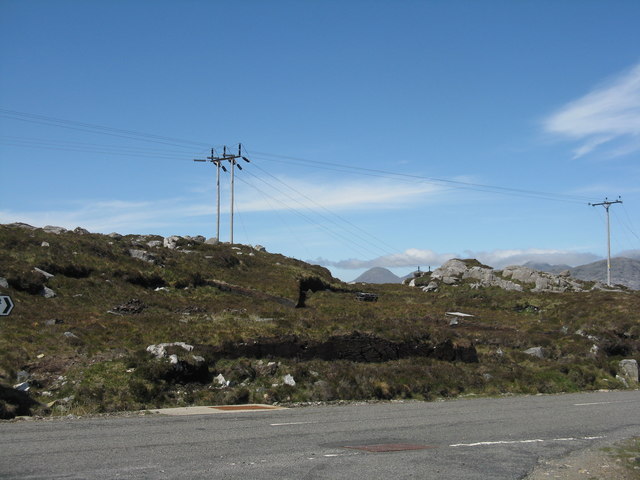
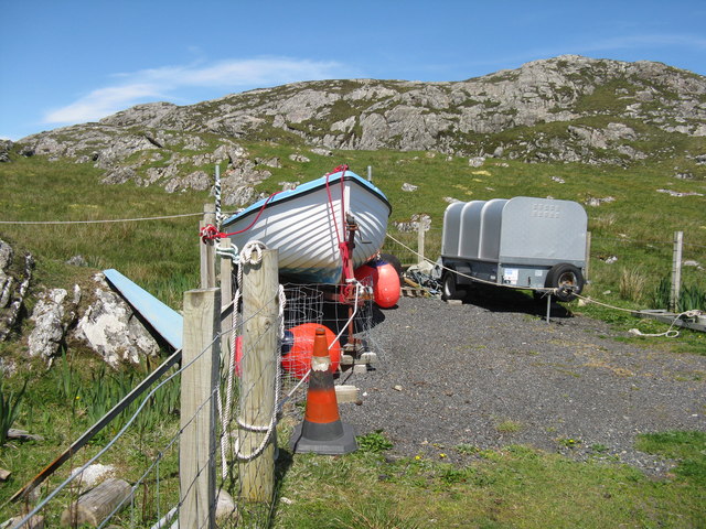
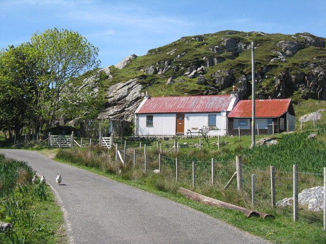
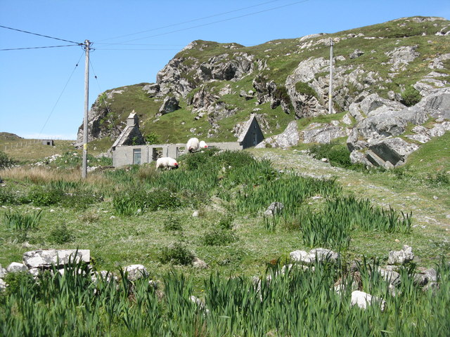
Images are sourced within 2km of 57.847572/-6.8069109 or Grid Reference NG1494. Thanks to Geograph Open Source API. All images are credited.

Lochan near Greosabhagh A lochan liberally sprinkled with water-lily leaves.
Lochan near Greosabhagh
A lochan liberally sprinkled with water-lily leaves.
Loch Harmasaig Most of this loch is hidden behind the knoll on the left.
Loch Harmasaig
Most of this loch is hidden behind the knoll on the left.
Loch nan Uidhean Typical 'Cnoc and Lochan' topography, with a small loch hemmed in by steeply dipping hummocky Lewisian gneiss.
Loch nan Uidhean
Typical 'Cnoc and Lochan' topography, with a small loch hemmed in by steeply dipping hummocky Lewisian gneiss.
Nameless Lochan That is to say, the map doesn't name it.
Nameless Lochan
That is to say, the map doesn't name it.
Loch Drinisiadair This is just the southern tip of one of the larger lochs in eastern Harris.
Loch Drinisiadair
This is just the southern tip of one of the larger lochs in eastern Harris.
Loch Harmasaig
Loch Harmasaig
Rough ground at Druim nan-Uidhean
Old pontoon equipment at Loch Harmasaig
The road to Greosabhagh A typical East Harris view - water and rock, rock and water.

Shots of parts of the island were used by Stanley Kubrick as the surface of Jupiter in the film 2001: A Space Odyssey.
The road to Greosabhagh
A typical East Harris view - water and rock, rock and water. Shots of parts of the island were used by Stanley Kubrick as the surface of Jupiter in the film 2001: A Space Odyssey.
Houses at Greosabhagh On The Golden Road.
Houses at Greosabhagh
On The Golden Road.
Road to the south Leading to the Golden Road and, eventually, Rodel. Long and winding through an amazing rocky landscape.
Road to the south
Leading to the Golden Road and, eventually, Rodel. Long and winding through an amazing rocky landscape.
Road Junction  at Miabhaig The east coast road from Rodel meets the main A859 Tairbeart-Roghadal road.
Road Junction at Miabhaig
The east coast road from Rodel meets the main A859 Tairbeart-Roghadal road.
Electricity transmission lines A familiar feature in the rocky landscape of Harris.
Electricity transmission lines
A familiar feature in the rocky landscape of Harris.
Boat and trailer at Greosabhagh With Cnoc Soilleir beyond.
Boat and trailer at Greosabhagh
With Cnoc Soilleir beyond.
House at Greosabhagh Restored, compared to its condition on Google Street View in 2009.
House at Greosabhagh
Restored, compared to its condition on Google Street View in 2009.
Ruined house at Greosabhagh One of several on this part of the Golden Road.
Ruined house at Greosabhagh
One of several on this part of the Golden Road.
Loch Airigh Iain Oig
Electricity sub-station
Show me another place!

Loch an To Mhòir is located at Grid Ref: NG1494 (Lat: 57.847572, Lng: -6.8069109)

Unitary Authority: Na h-Eileanan an Iar

Police Authority: Highlands and Islands

What 3 Words

///pints.ruffling.variously. Near Tarbert, Na h-Eileanan Siar

Related Wikis

East Loch Tarbert

East Loch Tarbert (Scottish Gaelic: Loch an Tairbeairt) is a sea loch that lies to the east of Harris in the Outer Hebrides of Scotland. The loch contains...

Stockinish Island

Stockinish Island (Scottish Gaelic: Eilean Stocainis) is an uninhabited island off Harris, in the Outer Hebrides. == Geography and geology == Stockinish...

Sgeotasaigh

Scotasay (Scottish Gaelic: Sgeotasaigh) is small island in the Outer Hebrides of Scotland. It lies 1 kilometre (0.6 miles) off the east coast of Harris...

Harris distillery

Harris distillery is a Scotch whisky and Gin distillery in Tarbert on the Isle of Harris, Scotland. The distillery was the first legal distillery ever...

Nearby Amenities

Located within 500m of 57.847572,-6.8069109
Passing Place
Lat/Long: 57.8497963/-6.8141743
Passing Place
Lat/Long: 57.8480564/-6.8138617
Passing Place
Lat/Long: 57.8487457/-6.8141086
Passing Place
Lat/Long: 57.8470415/-6.8137264
Passing Place
Lat/Long: 57.8460052/-6.8128895
Passing Place
Lat/Long: 57.8450302/-6.8122377
Passing Place
Lat/Long: 57.8443707/-6.8117898
The data included in this document is from www.openstreetmap.org. The data is made available under ODbL.

Have you been to Loch an To Mhòir?

Leave your review of Loch an To Mhòir below (or comments, questions and feedback).