Loch nan Learg

Lake, Pool, Pond, Freshwater Marsh in Inverness-shire

Scotland

Loch nan Learg

Rocky landscape Much of the Harris landscape consists of exposed bedrock. This view is over a minor road from Aird Mhighe towards the main road, the A859.
Rocky landscape Credit: Richard Dorrell

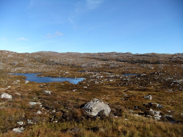
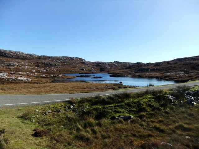
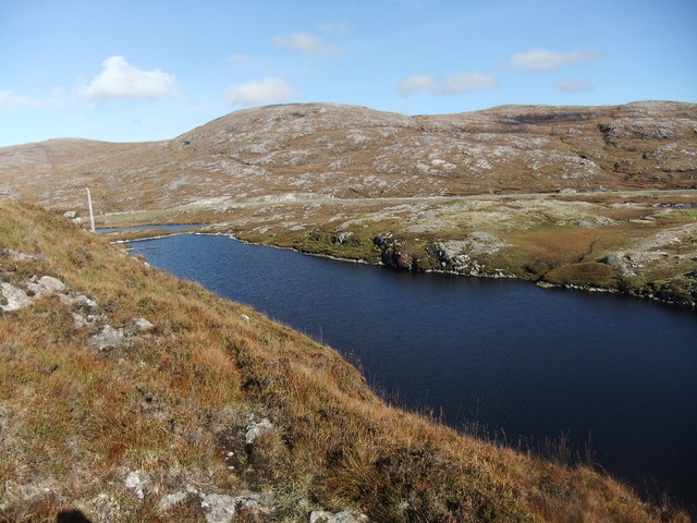
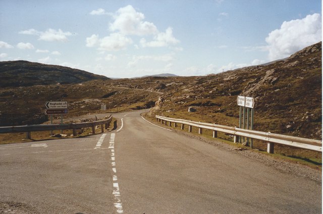
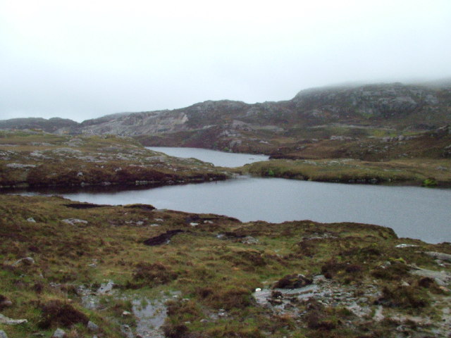
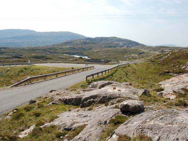
Loch nan Learg, located in Inverness-shire, Scotland, is a picturesque freshwater lake encompassed by stunning natural surroundings. This enchanting body of water is nestled in a tranquil and remote setting, attracting nature enthusiasts and tourists alike.

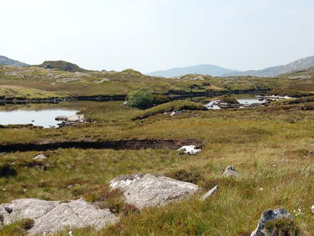
Stretching over an area of approximately 1.5 square kilometers, Loch nan Learg offers a serene and peaceful ambiance. Its crystal-clear waters provide a haven for various species of aquatic life, including fish and water birds. The lake's depth varies, with the deepest point measuring around 12 meters.

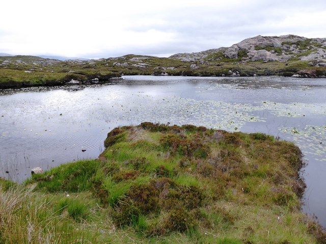
Surrounded by lush greenery and rolling hills, the loch is a haven for birdwatchers, who can spot a diverse array of avian species, such as ducks, swans, and herons. The surrounding marshland provides a suitable habitat for various wetland plants and animals, creating a vibrant ecosystem.

The lake offers numerous opportunities for outdoor activities, such as fishing and boating. Fishing enthusiasts can try their luck at catching trout, pike, and perch, while boaters can enjoy leisurely cruises or engage in water sports. The calm waters and scenic landscape also make it a popular spot for kayaking and canoeing.

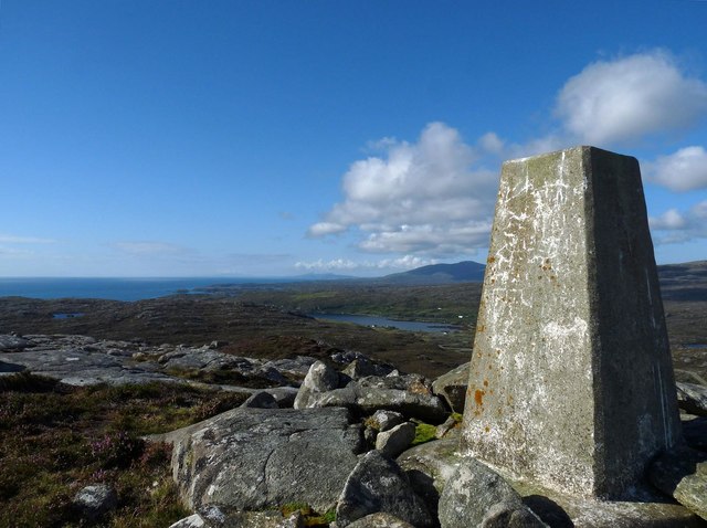
Loch nan Learg is a hidden gem that offers a tranquil escape from the hustle and bustle of everyday life. Its breathtaking natural beauty, diverse wildlife, and recreational opportunities make it a must-visit destination for those seeking serenity and an authentic Scottish experience.

If you have any feedback on the listing, please let us know in the comments section below.

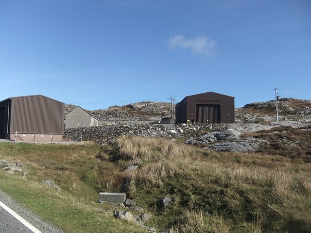
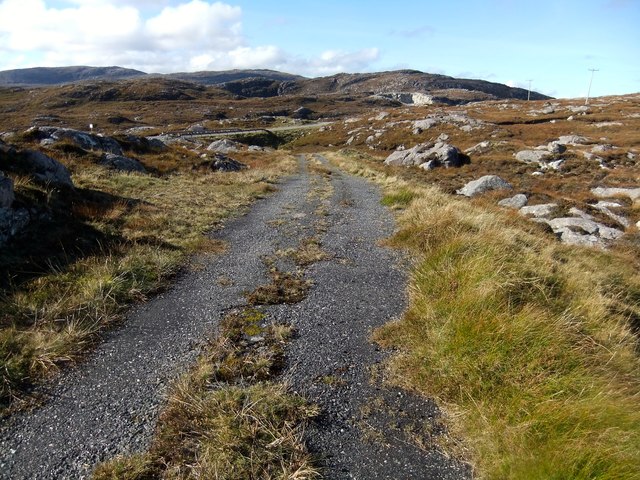
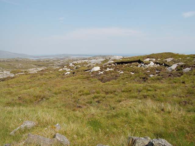
Loch nan Learg Images

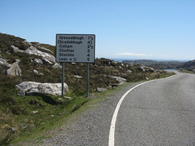
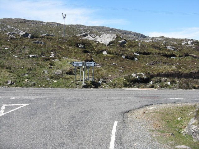
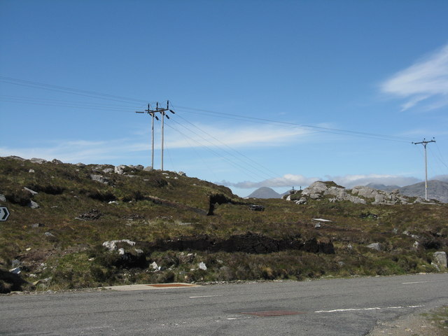
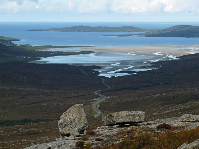
Images are sourced within 2km of 57.850187/-6.8275583 or Grid Reference NG1394. Thanks to Geograph Open Source API. All images are credited.

Rocky landscape Much of the Harris landscape consists of exposed bedrock. This view is over a minor road from Aird Mhighe towards the main road, the A859.
Rocky landscape
Much of the Harris landscape consists of exposed bedrock. This view is over a minor road from Aird Mhighe towards the main road, the A859.
Road to the south Leading to the Golden Road and, eventually, Rodel. Long and winding through an amazing rocky landscape.
Road to the south
Leading to the Golden Road and, eventually, Rodel. Long and winding through an amazing rocky landscape.
Road Junction  at Miabhaig The east coast road from Rodel meets the main A859 Tairbeart-Roghadal road.
Road Junction at Miabhaig
The east coast road from Rodel meets the main A859 Tairbeart-Roghadal road.
Electricity transmission lines A familiar feature in the rocky landscape of Harris.
Electricity transmission lines
A familiar feature in the rocky landscape of Harris.
Rocks on the southern slopes of Uabhal Mòr, Harris Looking towards the A859 and Tràigh Losgaintir.
Rocks on the southern slopes of Uabhal Mòr, Harris
Looking towards the A859 and Tràigh Losgaintir.
Loch Glumradh Mor
Loch Glumradh Mor
Loch Airigh Iain Oig
Electricity sub-station
The old road
The old road
Loch na Creige Glaise
Triangulation pillar, Gròsa Cleit, Harris Looking towards Loch Stocanais and Roineabhal.
Triangulation pillar, Gròsa Cleit, Harris
Looking towards Loch Stocanais and Roineabhal.
Lilies in unnamed loch south of Loch Tallabreck
Electricity Sub-station just south of the A859
The A859 at the junction with the road to Rodel, Isle of Harris
Loch Bearastadh Mor Looking SE over Loch Bearastadh Mor from the A859, on the Isle of Harris.
Loch Bearastadh Mor
Looking SE over Loch Bearastadh Mor from the A859, on the Isle of Harris.
Loch Bearastadh Mor In Lacasdail
Loch Bearastadh Mor
In Lacasdail
Start of the C79 to Roghadal The junction to the left is the road that runs to Aird Mhighe, where it joins The Golden Road and continues along the east coast of South Harris to Roghadal (Rodel).
Start of the C79 to Roghadal
The junction to the left is the road that runs to Aird Mhighe, where it joins The Golden Road and continues along the east coast of South Harris to Roghadal (Rodel).
South Harris moorland Typical terrain of South Harris with a mixture of loose boulders and exposed bedrock, interspersed with peat bogs.
South Harris moorland
Typical terrain of South Harris with a mixture of loose boulders and exposed bedrock, interspersed with peat bogs.
Show me another place!

Loch nan Learg is located at Grid Ref: NG1394 (Lat: 57.850187, Lng: -6.8275583)

Unitary Authority: Na h-Eileanan an Iar

Police Authority: Highlands and Islands

What 3 Words

///waxing.sour.otter. Near Tarbert, Na h-Eileanan Siar

Related Wikis

Stockinish Island

Stockinish Island (Scottish Gaelic: Eilean Stocainis) is an uninhabited island off Harris, in the Outer Hebrides. == Geography and geology == Stockinish...

East Loch Tarbert

East Loch Tarbert (Scottish Gaelic: Loch an Tairbeairt) is a sea loch that lies to the east of Harris in the Outer Hebrides of Scotland. The loch contains...

Harris distillery

Harris distillery is a Scotch whisky and Gin distillery in Tarbert on the Isle of Harris, Scotland. The distillery was the first legal distillery ever...

Sgeotasaigh

Scotasay (Scottish Gaelic: Sgeotasaigh) is small island in the Outer Hebrides of Scotland. It lies 1 kilometre (0.6 miles) off the east coast of Harris...

Nearby Amenities

Located within 500m of 57.850187,-6.8275583
Passing Place
Lat/Long: 57.8465465/-6.8299314
Passing Place
Lat/Long: 57.8466036/-6.8310972
Ardvey
Naptan AtcoCode: 6010731514
Naptan Bearing: SW
Naptan BusStopType: CUS
Naptan CommonName: Ardvey
Naptan Indicator: A865 Junction
Naptan Landmark: main road junction
Naptan NaptanCode: 94723652
Naptan Street: A865 Junction
Naptan Verified: no
Source: naptan_import
Lat/Long: 57.8466804/-6.8309663
Man Made: tower
Source: visual survey;estimate
Tower Construction: lattice
Tower Type: communication
Lat/Long: 57.8492262/-6.8250806
Passing Place
Lat/Long: 57.8470351/-6.832006
Tourism: picnic_site
Lat/Long: 57.8505507/-6.8212475
Power: pole
Lat/Long: 57.8484167/-6.8277562
Power: pole
Lat/Long: 57.8491817/-6.8269327
Power: pole
Lat/Long: 57.8508885/-6.8251512
Power: pole
Lat/Long: 57.8518018/-6.8241547
Power: pole
Lat/Long: 57.8522125/-6.8237429
Power: pole
Lat/Long: 57.8535505/-6.8223381
Power: pole
Lat/Long: 57.8474089/-6.8298858
Power: pole
Lat/Long: 57.8463869/-6.8300977
Passing Place
Lat/Long: 57.8481821/-6.8349859
Power: pole
Lat/Long: 57.8477462/-6.829173
Power: pole
Lat/Long: 57.8468004/-6.8300495
Power: pole
Lat/Long: 57.8497997/-6.8262806
Power: pole
Lat/Long: 57.8512724/-6.8247323
Power: pole
Lat/Long: 57.8529107/-6.8230172
Material: wood
Power: pole
Lat/Long: 57.8465799/-6.830444
Material: wood
Power: pole
Lat/Long: 57.8472023/-6.8303629
Material: wood
Power: pole
Lat/Long: 57.8477269/-6.8302981
Material: wood
Power: pole
Lat/Long: 57.8472845/-6.8330761
Material: wood
Power: pole
Lat/Long: 57.8466934/-6.8325357
Material: wood
Power: pole
Lat/Long: 57.8457412/-6.8264417
Power: pole
Lat/Long: 57.8486714/-6.8349914
Power: pole
Lat/Long: 57.8508781/-6.826002
Power: pole
Lat/Long: 57.852017/-6.8248124
Power: pole
Lat/Long: 57.8527741/-6.824044
Power: pole
Lat/Long: 57.8534506/-6.8233627
Power: pole
Lat/Long: 57.8538517/-6.8229443
Power: pole
Lat/Long: 57.8481005/-6.8292689
Power: pole
Lat/Long: 57.847977/-6.833712
Power: pole
Lat/Long: 57.8523631/-6.8211955
Power: pole
Lat/Long: 57.8518393/-6.8215254
Power: pole
Lat/Long: 57.850512/-6.8223944
Power: pole
Lat/Long: 57.849707/-6.8229443
Power: pole
Lat/Long: 57.8491817/-6.823293
Power: pole
Lat/Long: 57.8485851/-6.823706
Power: pole
Lat/Long: 57.8481041/-6.8240225
Power: pole
Lat/Long: 57.8474261/-6.8244892
Power: pole
Lat/Long: 57.8470892/-6.825031
Power: pole
Lat/Long: 57.8464654/-6.8260235
The data included in this document is from www.openstreetmap.org. The data is made available under ODbL.

Have you been to Loch nan Learg?

Leave your review of Loch nan Learg below (or comments, questions and feedback).