Loch an Fhorsa

Lake, Pool, Pond, Freshwater Marsh in Ross-shire

Scotland

Loch an Fhorsa

On the northern slopes of Coduinn The rocky hillside offers a view over Loch Ròg Beag, a long sea loch, and, to its west, moorland lochs and lochans.
On the northern slopes of Coduinn Credit: eswales

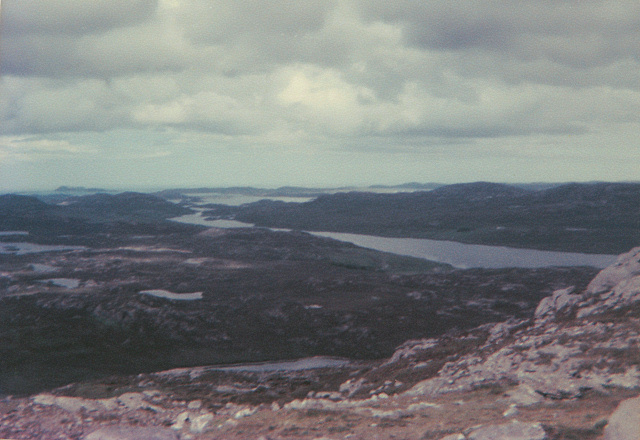
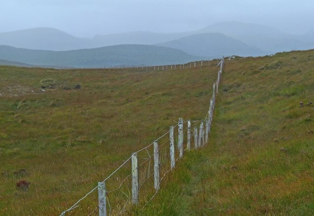
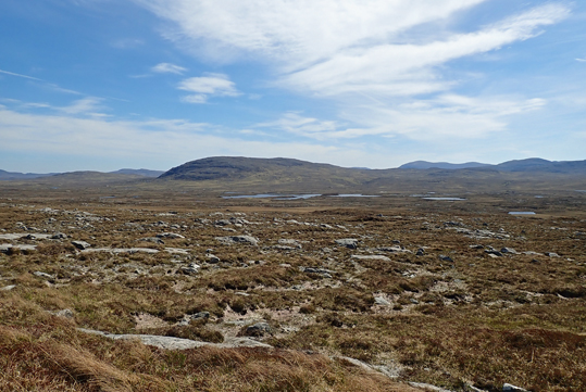
Loch an Fhorsa is a small freshwater loch located in Ross-shire, Scotland. It is situated in a picturesque and tranquil setting, surrounded by lush green hills and forests. The loch covers an area of approximately 10 hectares and has a maximum depth of 5 meters.

The water in Loch an Fhorsa is clear and clean, making it an ideal habitat for a variety of aquatic plants and animals. The loch is home to several species of fish, including trout and perch, as well as a diverse array of waterfowl such as ducks and swans.

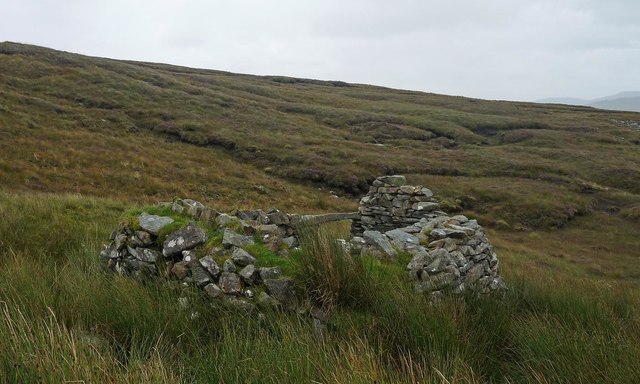
The shores of Loch an Fhorsa are dotted with reeds and other aquatic vegetation, providing important habitat for a range of wildlife. Visitors to the loch can enjoy birdwatching, fishing, and peaceful walks along the shore. The loch is also a popular spot for picnics and outdoor recreation.

Overall, Loch an Fhorsa is a beautiful and serene natural feature in the Scottish Highlands, offering visitors a chance to connect with nature and enjoy the tranquility of the surrounding landscape.

If you have any feedback on the listing, please let us know in the comments section below.

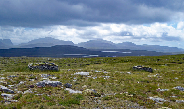
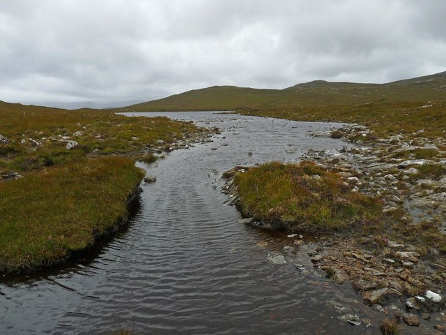
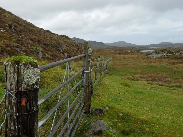
Loch an Fhorsa Images

Images are sourced within 2km of 58.10256/-6.896396 or Grid Reference NB1123. Thanks to Geograph Open Source API. All images are credited.
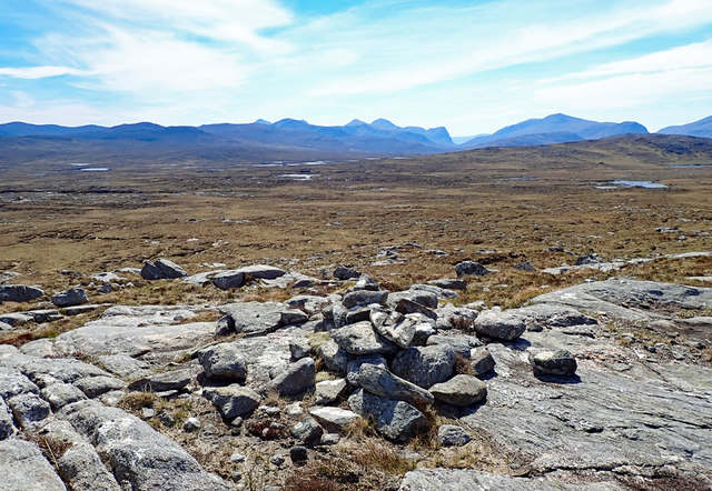
On the northern slopes of Coduinn The rocky hillside offers a view over Loch Ròg Beag, a long sea loch, and, to its west, moorland lochs and lochans.
On the northern slopes of Coduinn
The rocky hillside offers a view over Loch Ròg Beag, a long sea loch, and, to its west, moorland lochs and lochans.
Cairn Near Summit Of Codiunn Coduinn, Beinn a' Tuath, Beinn Mheadhanach and Sgeun with Jim Fothergill on a damp grey misty morning.
Name: Coduinn
Hill number: 4940
Height: 241m / 791ft
Parent (Ma/M): 1570 Beinn Mheadhanach [Beinn Mheadhonach]
Section: 24A: Lewis and Nearby Islands
County/UA: Na h-Eileanan Siar [Western Isles] (UA)
Island: Lewis and Harris
Class: HuMP, Tump (200-299m)
Grid ref: NB120232 (est)
Drop: 103m
Col: 138m NB116233
Cairn Near Summit Of Codiunn
Coduinn, Beinn a' Tuath, Beinn Mheadhanach and Sgeun with Jim Fothergill on a damp grey misty morning. Name: Coduinn Hill number: 4940 Height: 241m / 791ft Parent (Ma/M): 1570 Beinn Mheadhanach [Beinn Mheadhonach] Section: 24A: Lewis and Nearby Islands County/UA: Na h-Eileanan Siar [Western Isles] (UA) Island: Lewis and Harris Class: HuMP, Tump (200-299m) Grid ref: NB120232 (est) Drop: 103m Col: 138m NB116233
Airighean Bo Nighean Mhuirich Looking southwest to the Harris hills across Airighean Bo Nighean Mhuirich, a shieling site three kilometres west of Loch Morsgail.
Airighean Bo Nighean Mhuirich
Looking southwest to the Harris hills across Airighean Bo Nighean Mhuirich, a shieling site three kilometres west of Loch Morsgail.
Outflow of Loch Beag an Fhorsa, Isle of Lewis The outflow is the source of the Allt Dubh which flows into Loch Fuarail below.
Outflow of Loch Beag an Fhorsa, Isle of Lewis
The outflow is the source of the Allt Dubh which flows into Loch Fuarail below.
Gate below Sgeun, Isle of Lewis Looking towards Loch Mòr Ruadh.
Gate below Sgeun, Isle of Lewis
Looking towards Loch Mòr Ruadh.
Fence to the south of Loch Gainmhich, Isle of Lewis The highest hill in the background is Stulabhal.

Although not particularly new looking, the fence is not currently shown on the OS map (as viewed on OS Maps 23/09/16).
Fence to the south of Loch Gainmhich, Isle of Lewis
The highest hill in the background is Stulabhal. Although not particularly new looking, the fence is not currently shown on the OS map (as viewed on OS Maps 23/09/16).
Rock on moorland near Loch Fuarail, Isle of Lewis Looking towards Loch Fuarail and Coduinn.
Rock on moorland near Loch Fuarail, Isle of Lewis
Looking towards Loch Fuarail and Coduinn.
Shieling, Airighean An Fhorsa, Isle of Lewis This shieling was still in use by people from Bhaltos at the time of the writing of the OS Name Book in 1849.
Shieling, Airighean An Fhorsa, Isle of Lewis
This shieling was still in use by people from Bhaltos at the time of the writing of the OS Name Book in 1849.
Moorland Vista Looking over the east half of the grid square to the hills of Harris.
Moorland Vista
Looking over the east half of the grid square to the hills of Harris.
Moorland Vista Looking southeast to Loch Craghach and the hill Scalabhal Mula.
Moorland Vista
Looking southeast to Loch Craghach and the hill Scalabhal Mula.
The Cairn on top of Coduinn At 241m Coduinn is easily identified from around by the cairn on its top. This picture was taken from the old road bridge across the Morsgail River.
The Cairn on top of Coduinn
At 241m Coduinn is easily identified from around by the cairn on its top. This picture was taken from the old road bridge across the Morsgail River.
Abhainn a Loch Chragaich The burn from Loch Traighidh flows into a swollen Abhainn a' Loch Chragaich at the bottom of frame. In the middle distance the ground falls away to the Abhainn a Loin.
Abhainn a Loch Chragaich
The burn from Loch Traighidh flows into a swollen Abhainn a' Loch Chragaich at the bottom of frame. In the middle distance the ground falls away to the Abhainn a Loin.
Show me another place!

Loch an Fhorsa is located at Grid Ref: NB1123 (Lat: 58.10256, Lng: -6.896396)

Unitary Authority: Na h-Eileanan an Iar

Police Authority: Highlands and Islands

What 3 Words

///foot.spite.mandolin. Near Carloway, Na h-Eileanan Siar

Related Wikis

Gisla Hydro-Electric Scheme

Gisla Hydro-Electric Scheme was a small scheme promoted by the North of Scotland Hydro-Electric Board on the Isle of Lewis, Outer Hebrides, Scotland. It...

Gasker

Gasker is a small uninhabited islet in the Outer Hebrides of Scotland, 8 kilometres (4+1⁄2 nautical miles) southwest of Scarp, off the west coast of Harris...

Nearby Amenities

Located within 500m of 58.10256,-6.896396
Coduinn
Ele: 241
Natural: peak
Source: OS7
Lat/Long: 58.1040218/-6.8887478
Airighean an Fhorsa
Place: locality
Lat/Long: 58.0995778/-6.8940037
Tom Liosa
Natural: peak
Lat/Long: 58.1015637/-6.9015428
The data included in this document is from www.openstreetmap.org. The data is made available under ODbL.

Have you been to Loch an Fhorsa?

Leave your review of Loch an Fhorsa below (or comments, questions and feedback).