Loch Dubh

Lake, Pool, Pond, Freshwater Marsh in Inverness-shire

Scotland

Loch Dubh

Tràigh Losgaintir at low tide
Tràigh Losgaintir at low tide Credit: Sandy Gerrard

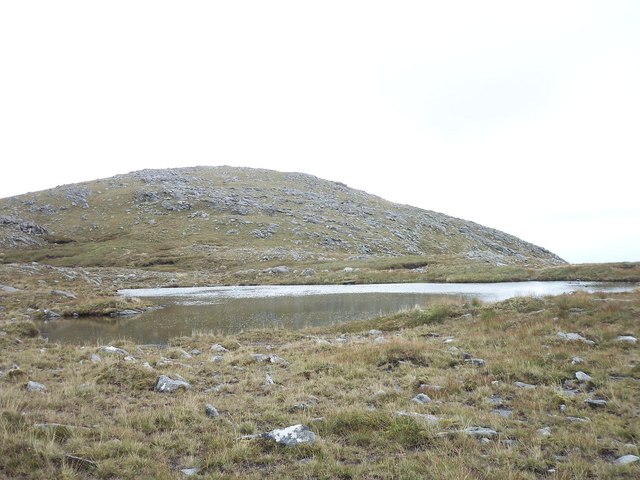
Loch Dubh is a freshwater lake located in the picturesque village of Inverness-shire, Scotland. The lake covers an area of approximately 50 acres and is surrounded by lush greenery and rolling hills, providing a stunning backdrop for visitors to enjoy.

The water in Loch Dubh is crystal clear and teeming with various species of fish, making it a popular spot for fishing enthusiasts. The lake also attracts a wide range of birdlife, including ducks, swans, and herons, making it a haven for birdwatchers.

Surrounding the lake are several walking trails that offer visitors the opportunity to explore the natural beauty of the area. The tranquil atmosphere of Loch Dubh makes it an ideal spot for picnicking, photography, or simply enjoying a peaceful moment in nature.

Overall, Loch Dubh is a hidden gem in the Scottish Highlands, offering visitors a chance to immerse themselves in the beauty of the countryside and experience the tranquility of a freshwater lake in the heart of Inverness-shire.

If you have any feedback on the listing, please let us know in the comments section below.
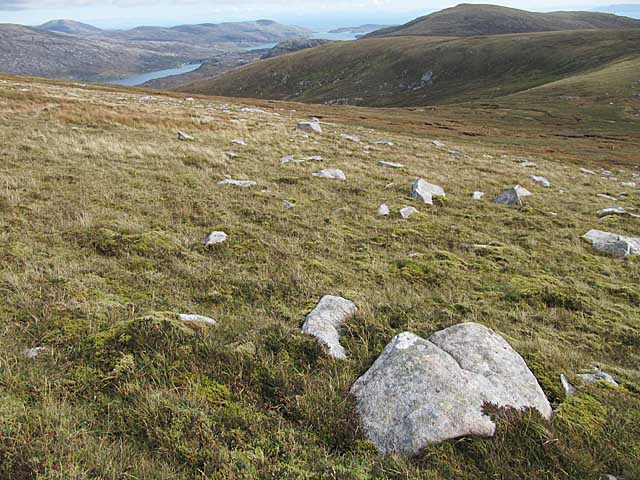
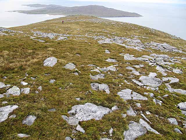
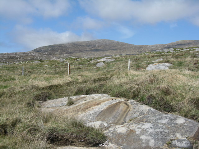
Loch Dubh Images

Images are sourced within 2km of 57.883971/-6.9130966 or Grid Reference NG0898. Thanks to Geograph Open Source API. All images are credited.

Tràigh Losgaintir at low tide
Coast of Harris
Coast of Harris
View south towards Beinn Losgaintir View across a small Lochan towards Beinn Losgaintir. This Lochan and flat stony area is actually between Beinn Losgaintir and Beinn Dhubh (which was behind the photographer)
View south towards Beinn Losgaintir
View across a small Lochan towards Beinn Losgaintir. This Lochan and flat stony area is actually between Beinn Losgaintir and Beinn Dhubh (which was behind the photographer)
Near Beinn Dhubh looking West towards North Harris View looking in a westerly direction from stony ground between the summit of Beinn Dhubh and Beinn Losgaintir
Near Beinn Dhubh looking West towards North Harris
View looking in a westerly direction from stony ground between the summit of Beinn Dhubh and Beinn Losgaintir
Moorland on Beinn Dhubh, Harris
View west from Beinn Dhubh, Harris Looking towards the island of Taransay.
View west from Beinn Dhubh, Harris
Looking towards the island of Taransay.
Beinn Dhubh, from the road to Luskentyre Rocky moorland/grassland of the Frith Losgaintir
Beinn Dhubh, from the road to Luskentyre
Rocky moorland/grassland of the Frith Losgaintir
Beinn Dhubh trig point
Boulder, south east flank of Beinn Dhubh
Tràigh Losgaintir Looking across the beach from the south side of the estuary.
Tràigh Losgaintir
Looking across the beach from the south side of the estuary.
Tràigh Losgaintir and Taransay Looking west to the island of Taransay, beyond the dunes of Luskentyre.
Tràigh Losgaintir and Taransay
Looking west to the island of Taransay, beyond the dunes of Luskentyre.
Abhainn Gil an Tàilleir runs through Tràigh Losgaintir The burn draining An Coileach runs into the estuary. Beyond is the rocky land of Frith Losgaintir.
Abhainn Gil an Tàilleir runs through Tràigh Losgaintir
The burn draining An Coileach runs into the estuary. Beyond is the rocky land of Frith Losgaintir.
Frith Losgaintir Seen from across the head of the Luskentyre estuary. Note the foreground covered with lugworm casts <a href="https://www.geograph.org.uk/photo/4991997">NG0897 : Lugworm casts at Luskentyre</a>.
Frith Losgaintir
Seen from across the head of the Luskentyre estuary. Note the foreground covered with lugworm casts NG0897 : Lugworm casts at Luskentyre.
Lugworm casts at Luskentyre Lugworms [polychaete worms - Arenicola marina] live in U-shaped, mucus lined burrows in sand. The depressions in the sand mark the entrance to a burrow, where sand is taken in; after processing to extract nutrients the sand is excreted as a cast at the other end. They occurred in abundance in the sands near the head of the Luskentyre estuary <a href="https://www.geograph.org.uk/photo/4991983">NG0897 : Frith Losgaintir</a>.
Lugworm casts at Luskentyre
Lugworms [polychaete worms - Arenicola marina] live in U-shaped, mucus lined burrows in sand. The depressions in the sand mark the entrance to a burrow, where sand is taken in; after processing to extract nutrients the sand is excreted as a cast at the other end. They occurred in abundance in the sands near the head of the Luskentyre estuary NG0897 : Frith Losgaintir.
Marks in the sand at Luskentyre Caused by the siphons of a bivalve mollusc, the Peppery Furrow Shell [Scrobicularia plana]. Digging down would reveal the animals at the centre of the radiating depressions left by the inhalant and exhalant tubes.
Marks in the sand at Luskentyre
Caused by the siphons of a bivalve mollusc, the Peppery Furrow Shell [Scrobicularia plana]. Digging down would reveal the animals at the centre of the radiating depressions left by the inhalant and exhalant tubes.
Tràigh Losgaintir Looking west, across the estuary of Losgaintir, with the isle of Taransay/Tarasaigh in the distance.
Tràigh Losgaintir
Looking west, across the estuary of Losgaintir, with the isle of Taransay/Tarasaigh in the distance.
Tràigh Losgaintir Looking out over the estuary. A wide estuary, but not created by any large rivers - the catchment from An Coileach  and four other small peaks is fairly small.
Tràigh Losgaintir
Looking out over the estuary. A wide estuary, but not created by any large rivers - the catchment from An Coileach and four other small peaks is fairly small.
The road from Luskentyre With the upper reaches of the estuary beyond.
The road from Luskentyre
With the upper reaches of the estuary beyond.
Show me another place!

Loch Dubh is located at Grid Ref: NG0898 (Lat: 57.883971, Lng: -6.9130966)

Unitary Authority: Na h-Eileanan an Iar

Police Authority: Highlands and Islands

What 3 Words

///leans.adhesive.secures. Near Tarbert, Na h-Eileanan Siar

Nearby Locations

Loch Dubh

Related Wikis

Luskentyre

Luskentyre (Scottish Gaelic: Losgaintir) is a sparse settlement on the west coast of Harris, in the Outer Hebrides, Scotland. Luskentyre is situated within...

West Loch Tarbert

West Loch Tarbert (Scottish Gaelic: Loch A Siar) is a sea loch that separates the northern and southern parts of Harris in the Outer Hebrides of Scotland...

Ardhasaig

Ardhasaig (Scottish Gaelic: Àird Àsaig) is a settlement on the western coast of north Harris, in the Outer Hebrides, Scotland. Ardhasaig is also within...

Harris, Outer Hebrides

Harris (Scottish Gaelic: Na Hearadh, pronounced [nə ˈhɛɾəɣ] ) is the southern and more mountainous part of Lewis and Harris, the largest island in the...

Have you been to Loch Dubh?

Leave your review of Loch Dubh below (or comments, questions and feedback).