Lochanan Sgeireach

Lake, Pool, Pond, Freshwater Marsh in Ross-shire

Scotland

Lochanan Sgeireach

Loch Gruineabhat from Suaineabhal the Harris hills in the background
Loch Gruineabhat from Suaineabhal the Harris hills in the background Credit: Mike Dunn

The requested URL returned error: 429 Too Many Requests

If you have any feedback on the listing, please let us know in the comments section below.

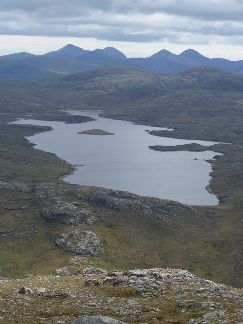
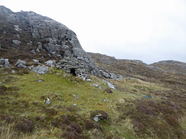
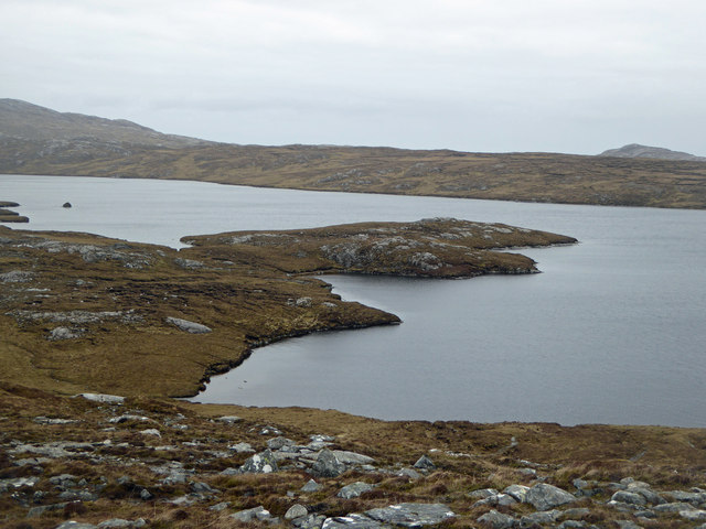
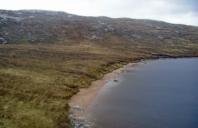
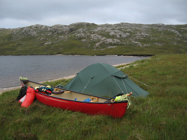
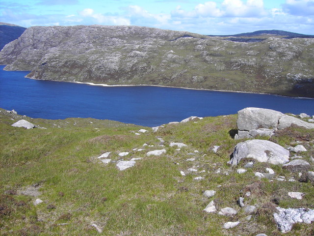
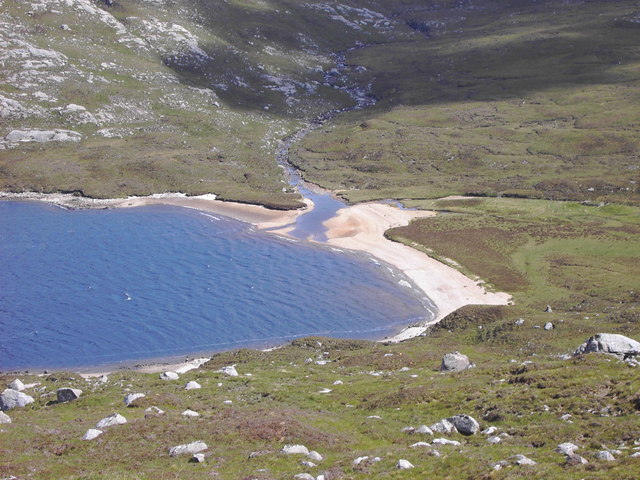
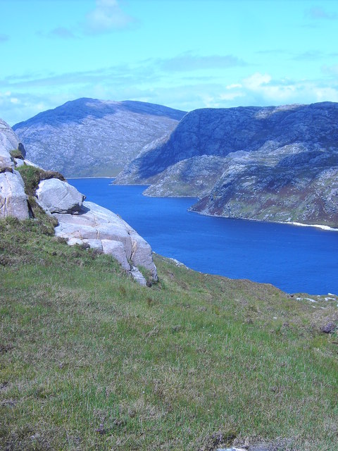
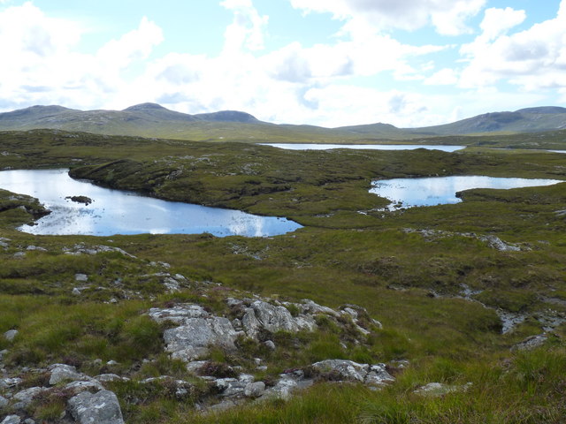
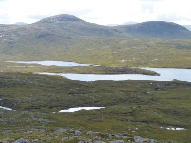
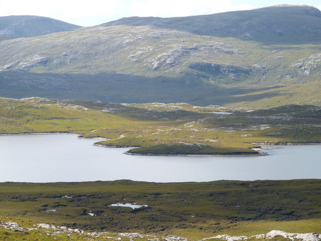
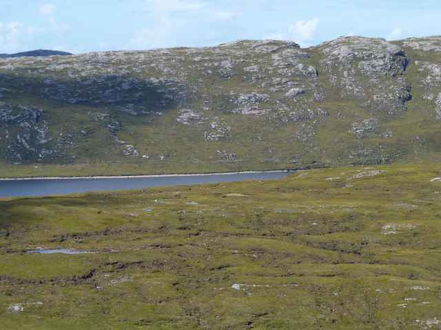
Lochanan Sgeireach Images

Images are sourced within 2km of 58.137771/-6.9676489 or Grid Reference NB0727. Thanks to Geograph Open Source API. All images are credited.

Loch Gruineabhat from Suaineabhal the Harris hills in the background
Beehive Cell at Gearhaidh Milebhat The beehive cell at Gearhaidh Milebhat, which can be reached by a six-mile round trip walk from Cairisiadar, or an ambitious 16-mile through-hike from Morsgail.
Beehive Cell at Gearhaidh Milebhat
The beehive cell at Gearhaidh Milebhat, which can be reached by a six-mile round trip walk from Cairisiadar, or an ambitious 16-mile through-hike from Morsgail.
Rubha Dubh, the Black Point of Loch Grunabhat Looking to the northeast over Rubha Dubh, the Black Point of Loch Grunabhat.
Rubha Dubh, the Black Point of Loch Grunabhat
Looking to the northeast over Rubha Dubh, the Black Point of Loch Grunabhat.
North End of Loch Gruineabhat The small beach at the northern tip of Loch Gruineabhat.
North End of Loch Gruineabhat
The small beach at the northern tip of Loch Gruineabhat.
Canoe camp at South end of Loch Suaineabhal A lovely quiet spot but infested with sheep ticks!
Canoe camp at South end of Loch Suaineabhal
A lovely quiet spot but infested with sheep ticks!
Moorland above Loch Suaineabhal
The beach at the end of Loch Suaineabhal
View across Loch Suaineabhal
Unnamed lochans above loch Gruineabhat
The south end of Loch Gruineabhat
The central section of Loch Gruineabhat
Moorland at the north end of Loch Gruineabhat
Show me another place!

Lochanan Sgeireach is located at Grid Ref: NB0727 (Lat: 58.137771, Lng: -6.9676489)

Unitary Authority: Na h-Eileanan an Iar

Police Authority: Highlands and Islands

What 3 Words

///orbited.crimson.rehearsed. Near Carloway, Na h-Eileanan Siar

Nearby Locations

Lochanan Sgeireach

Related Wikis

Gasker

Gasker is a small uninhabited islet in the Outer Hebrides of Scotland, 8 kilometres (4+1⁄2 nautical miles) southwest of Scarp, off the west coast of Harris...

Gisla Hydro-Electric Scheme

Gisla Hydro-Electric Scheme was a small scheme promoted by the North of Scotland Hydro-Electric Board on the Isle of Lewis, Outer Hebrides, Scotland. It...

Uig, Lewis

Uig (Scottish Gaelic: Ùig [uːkʲ]), also known as Sgìr' Ùig, is a civil parish and community in the west of the Isle of Lewis in the Outer Hebrides, Scotland...

Ardroil

Ardroil (Scottish Gaelic: Eadar Dhà Fhadhail) is a village on the Isle of Lewis in the Outer Hebrides, Scotland. Ardroil is within the parish of Uig....

Have you been to Lochanan Sgeireach?

Leave your review of Lochanan Sgeireach below (or comments, questions and feedback).